A bit of history: German South West Africa
In 1883 the Bremen merchant Adolf Lüderitz bought Angra Pequena bay from a Nama chief. The deal also included a strip of land 20 miles inland. The chief meant English miles, Lüderitz meant German geographical miles, which are almost five times longer. Already in 1884 Bismarck declared the territory a protectorate of the German Empire and German South West Africa was born, the only German colony that settlers moved to in larger numbers. They took pastures and cattle from the Herero and the Nama.
In January 1904 the Herero rose up and attacked German farms, settlements and military posts, killing over a hundred Germans. Emperor Wilhelm II sent reinforcements to the colony along with General Lothar von Trotha. In August 1904 he defeated the Herero at Waterberg and drove them into the Omaheke desert, where his soldiers seized the waterholes. In October he issued an order that every Herero on German territory was to be shot, including women and children. Those who survived ended up in concentration camps doing forced labour, the worst one being on Shark Island near Lüderitz. By 1908 an estimated 65,000 of some 80,000 Herero and roughly half of the Nama had died. Germany only officially recognised it as a genocide in 2021.
The colony ended in 1915, when troops of the Union of South Africa occupied it. South Africa then administered it for 75 years, apartheid included, and independence came only on 21 March 1990.
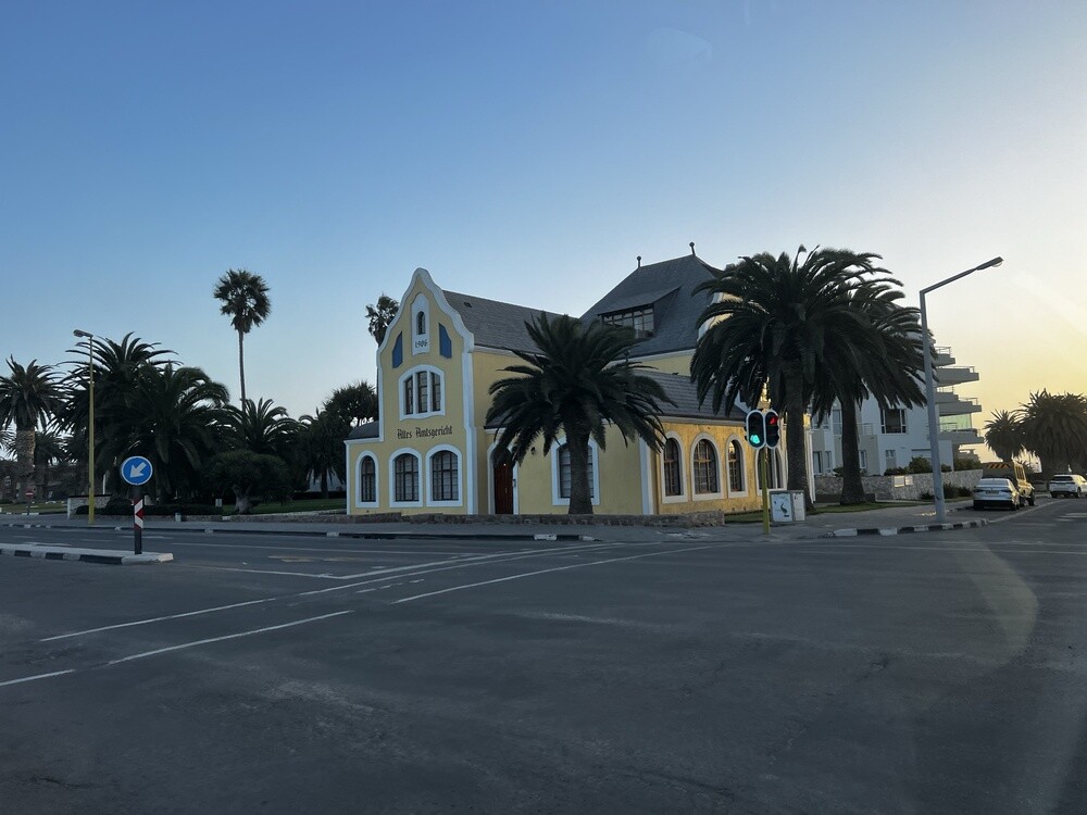
The fact that it was a German colony is still noticeable today. Everything is tidy, everything works and whatever you agree on happens on time. Not like elsewhere in Africa 🙂
Friday 30/06/2023, Prague, Doha
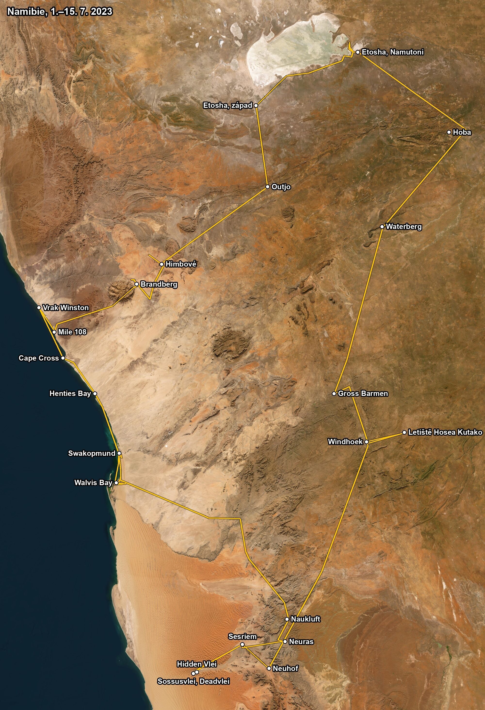
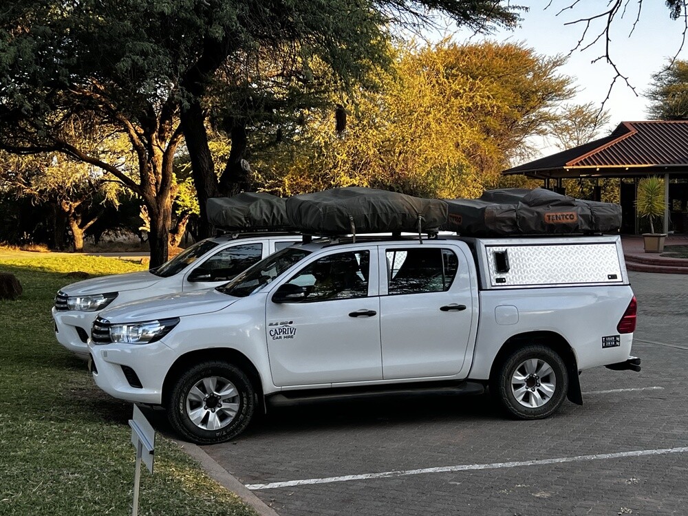
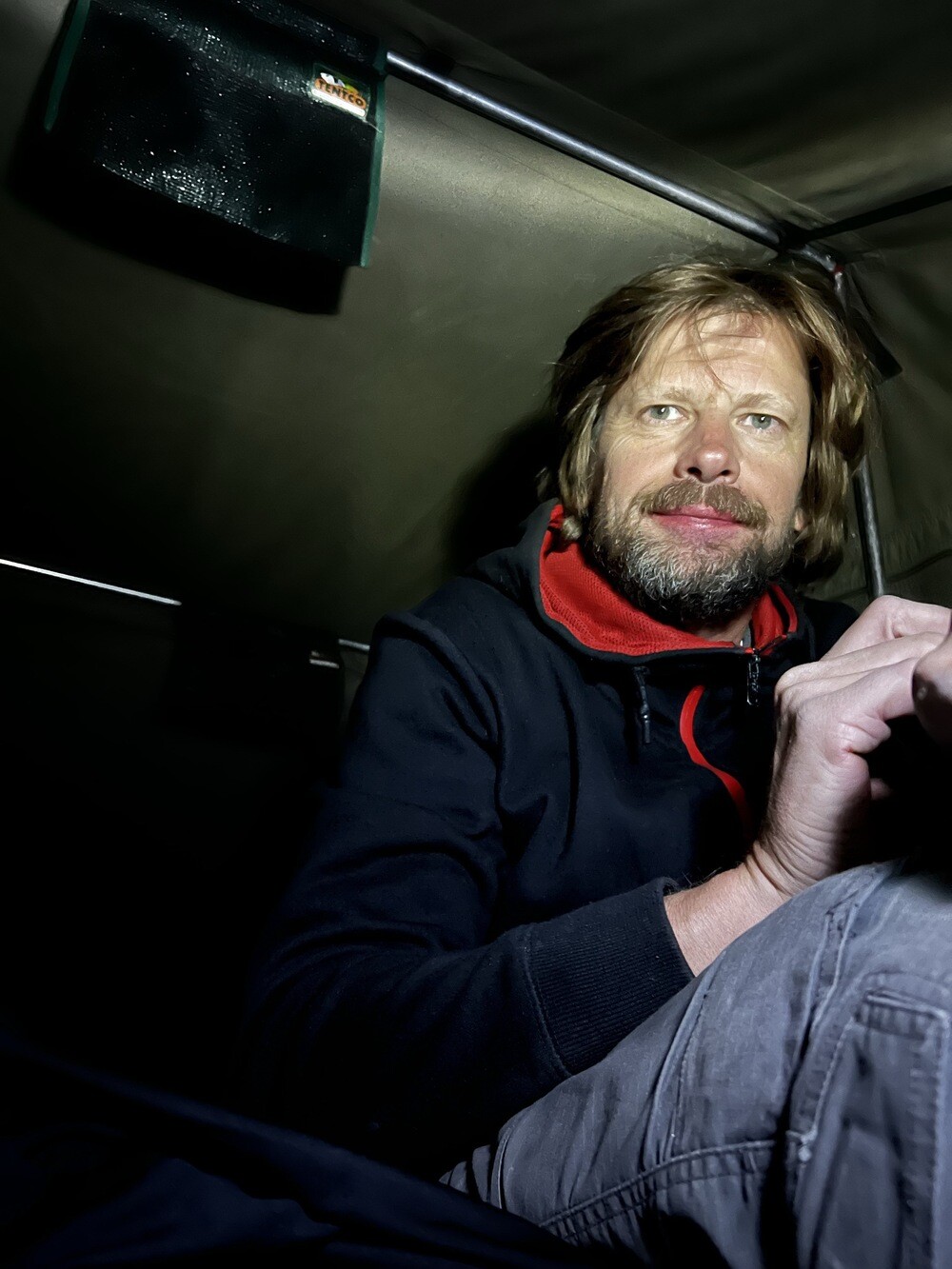
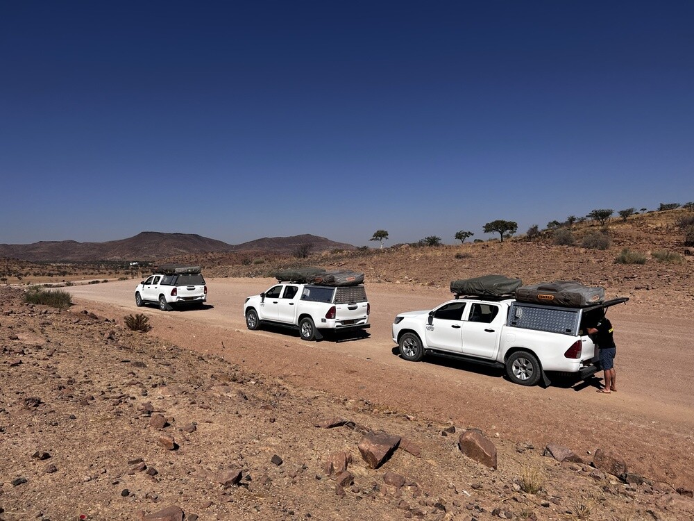
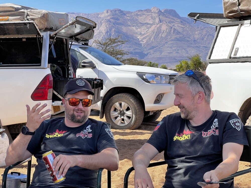
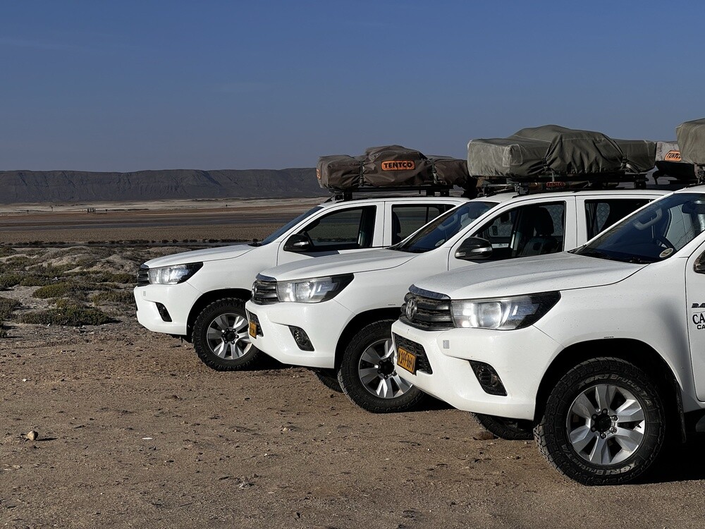
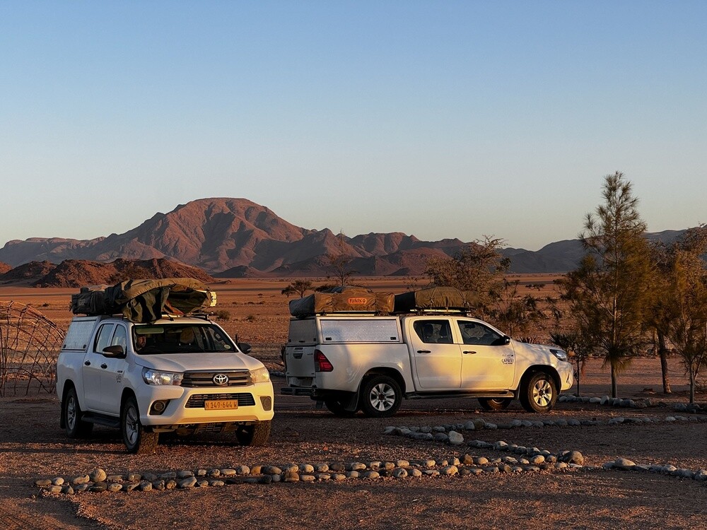
We set off for Namibia as a group of nine guys: Mirek, Jonáš, Fanda, Tomík, Marek, Saša, Vrána, Veselka and me. Two weeks, three Toyota Hiluxes with rooftop tents and over 2,300 km. Along the way Mirek kept a diary on onthetrip.cz and I borrowed a few stories from there that I'd forgotten in the meantime 🙂
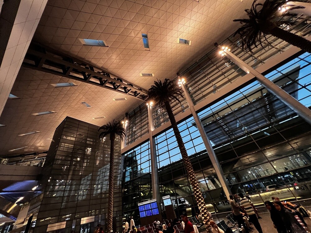
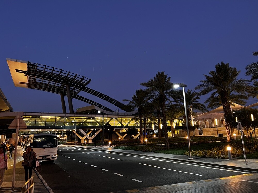
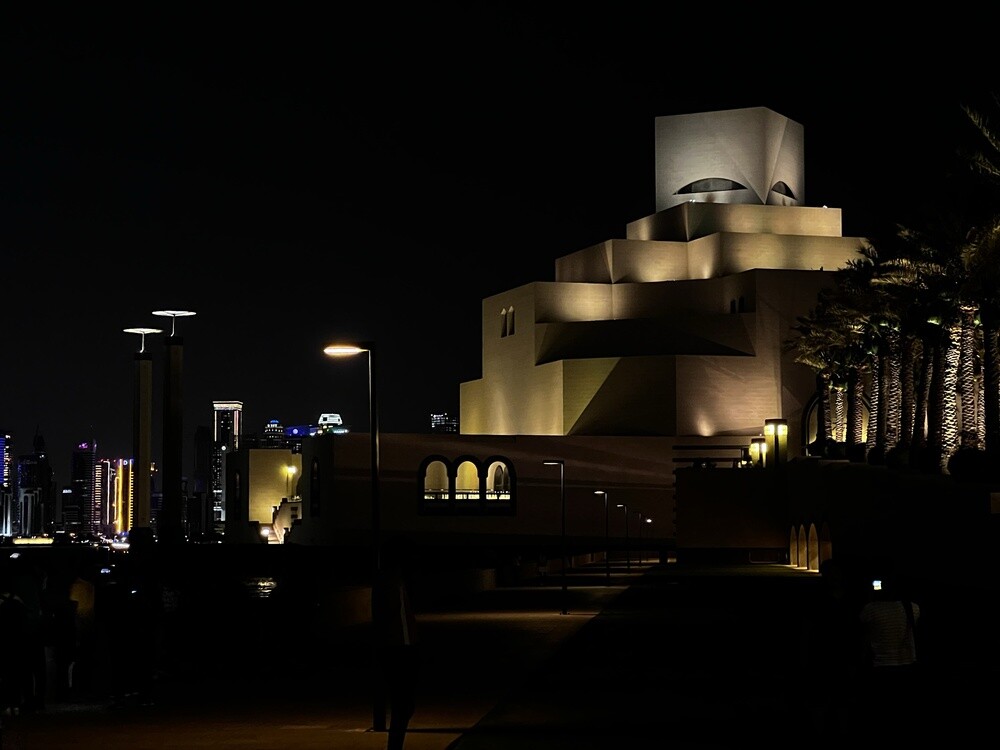
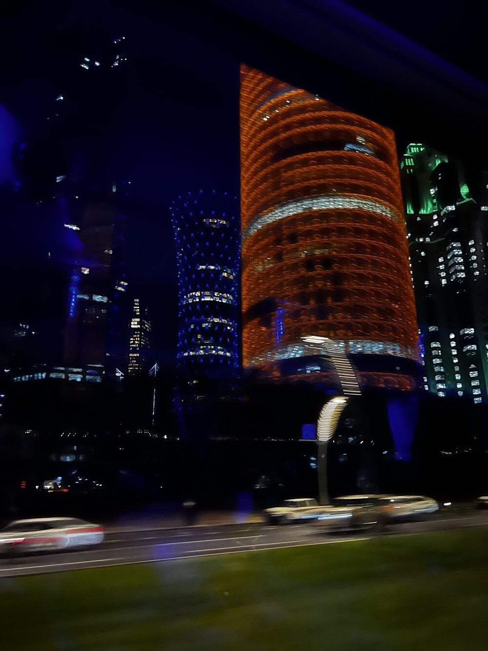
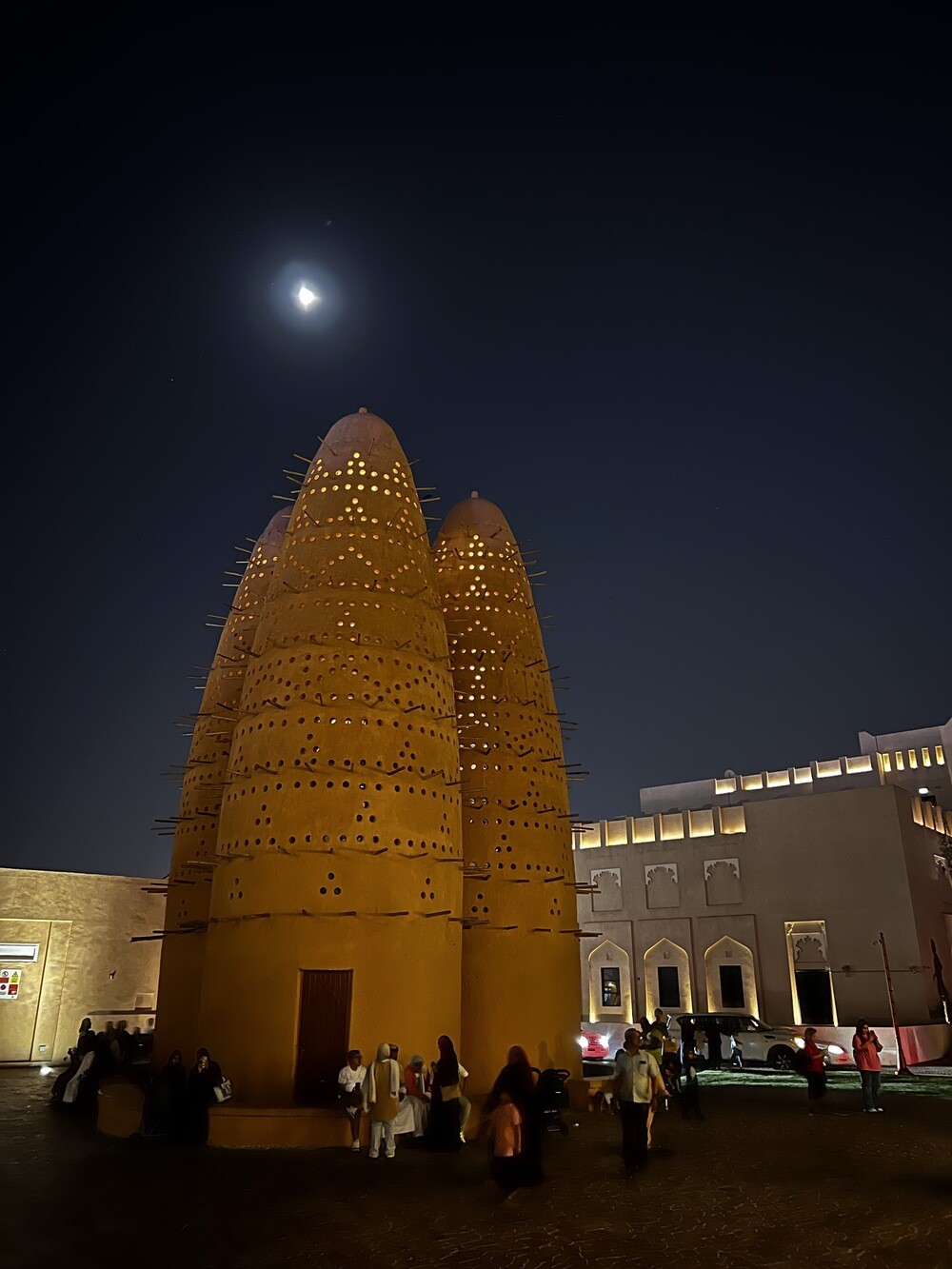
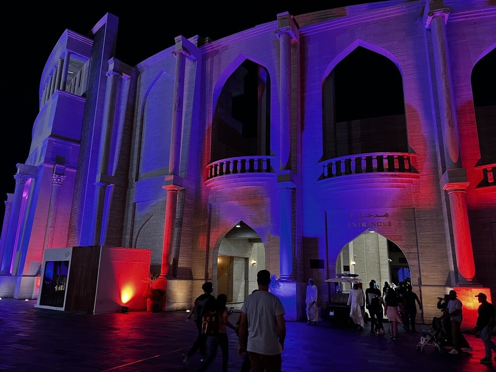
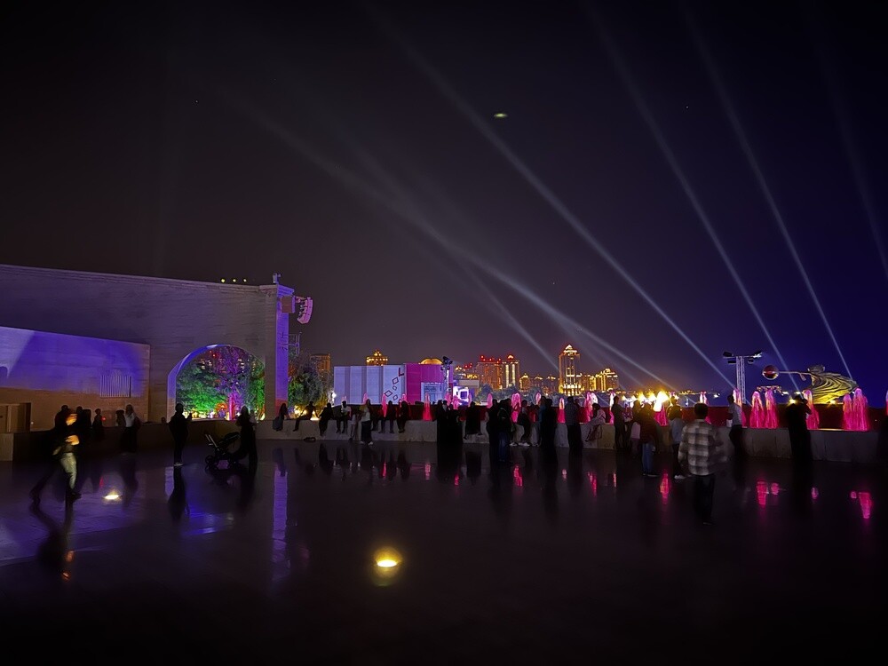
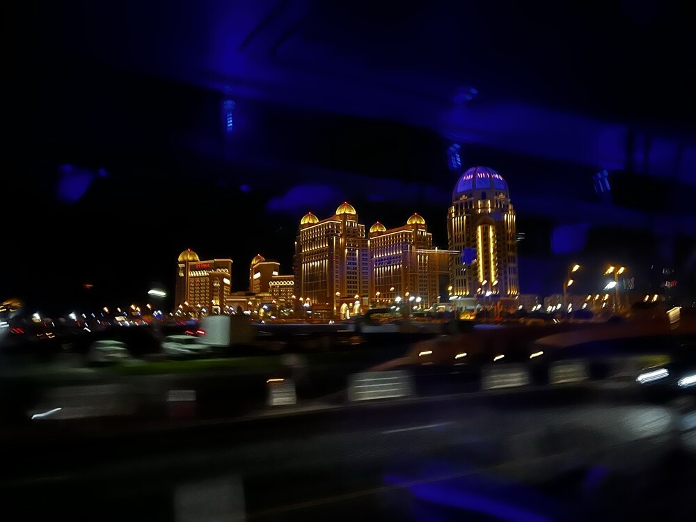
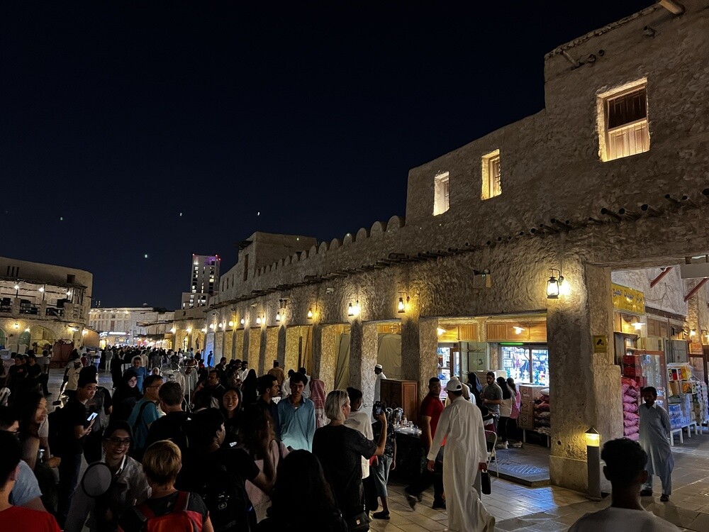
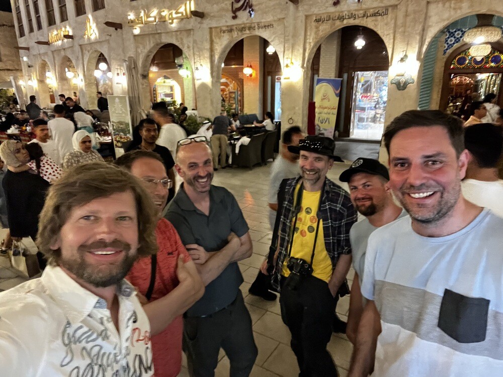
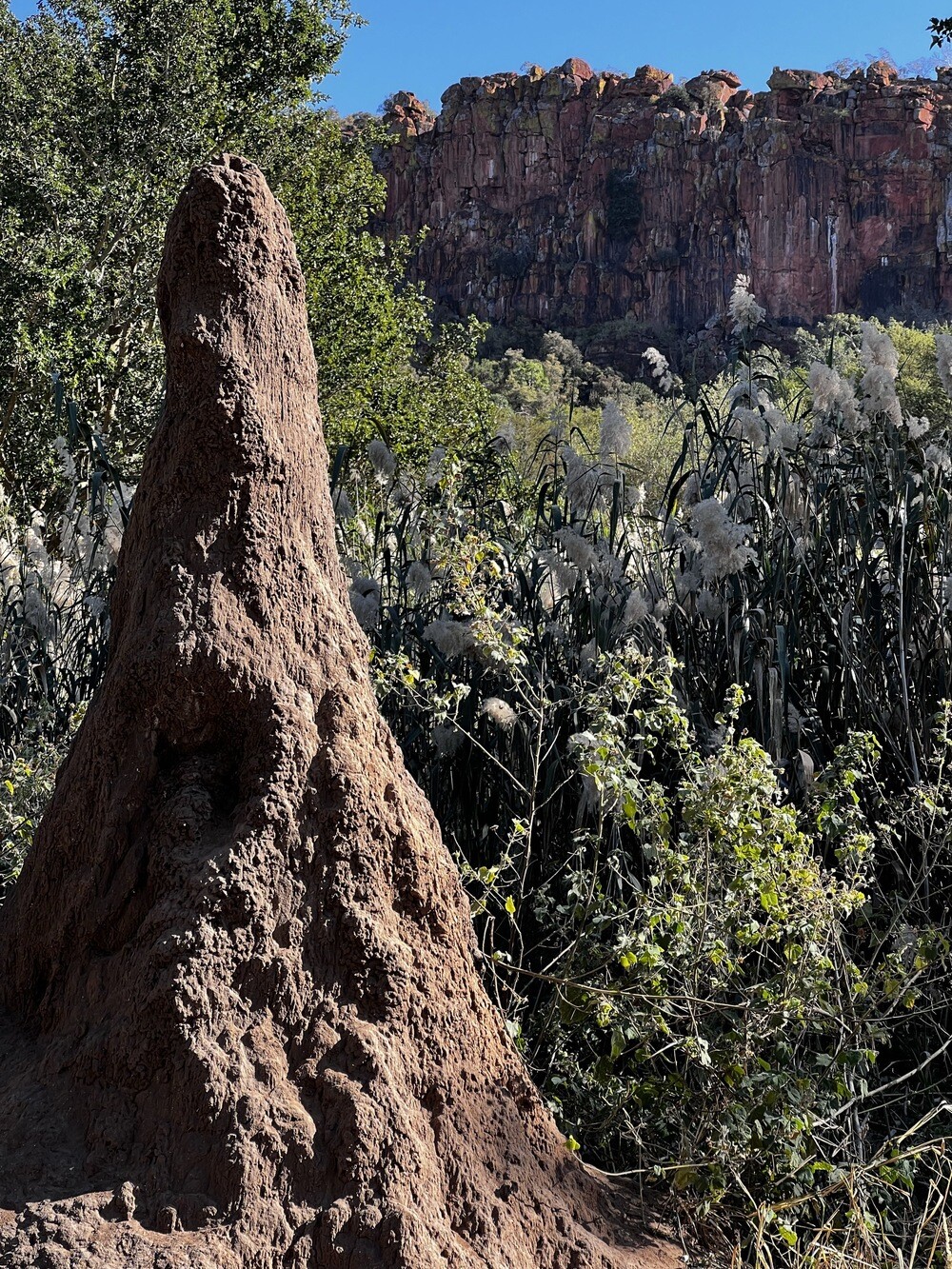
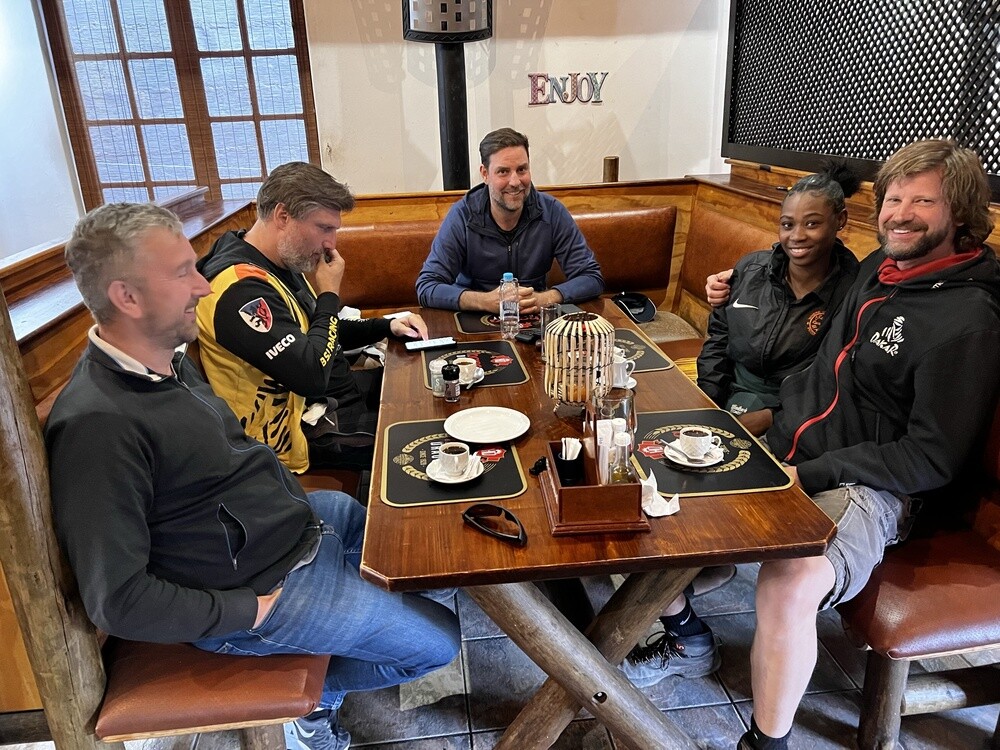
We flew with Qatar Airways via Doha and the layover was long enough for us to pop into the city. The Museum of Islamic Art, the park around it, skyscrapers lit up like a Christmas tree and, this being Qatar, dovecotes that look like giant termite mounds. In the evening we ended up in the crowd at Souq Waqif and that's where the first group photo of the crew was taken.
Museum of Islamic Art, Doha
The building on an artificial island in the bay was designed by architect I. M. Pei and the museum opened in 2008. The collection covers roughly 1,400 years of Islamic art from Spain to India.
Souq Waqif
The market in the centre of Doha stands where Bedouins have sold livestock and goods since time immemorial. After 2006 it was rebuilt in the original style with mud walls and wooden beams, and today it's full of little shops, cafés and restaurants.
Saturday 01/07/2023, Windhoek
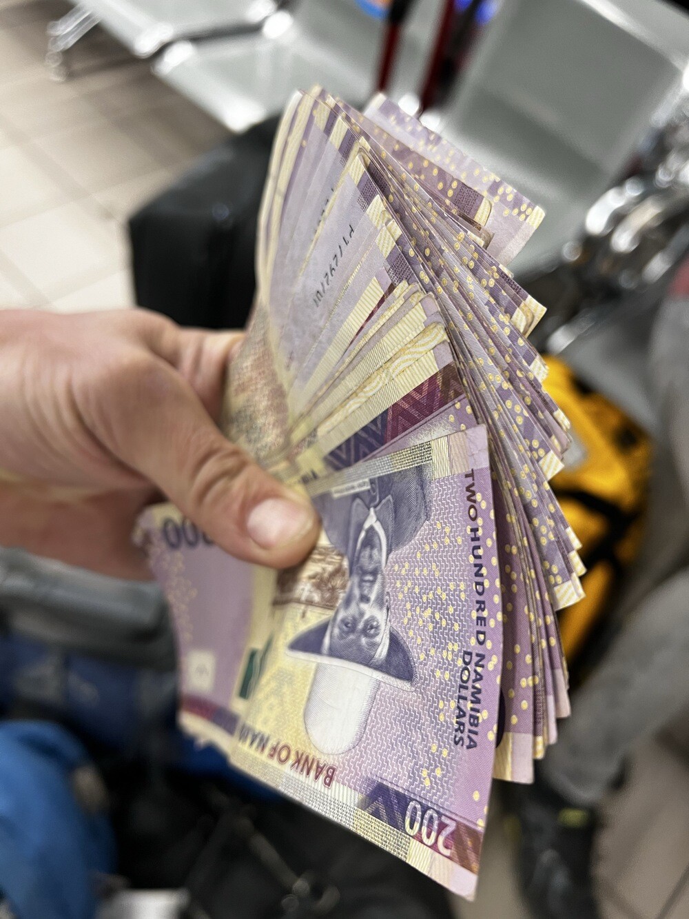
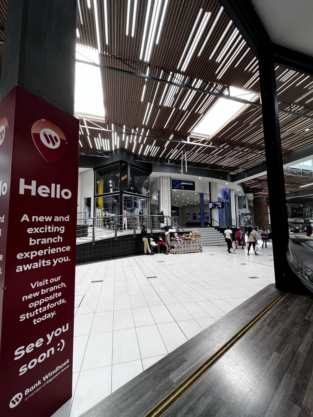
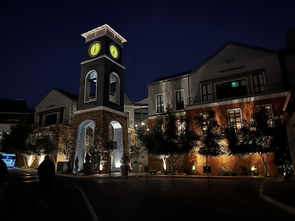
We land in Windhoek in the morning. Mirek was amazed at how developed everything here is: shopping centres, roads, clean streets. Like Germany in Africa, he said. We withdrew a wad of Namibian dollars, stocked up for a week at Maerua Mall (a trolley filled to the brim) and checked into our accommodation.
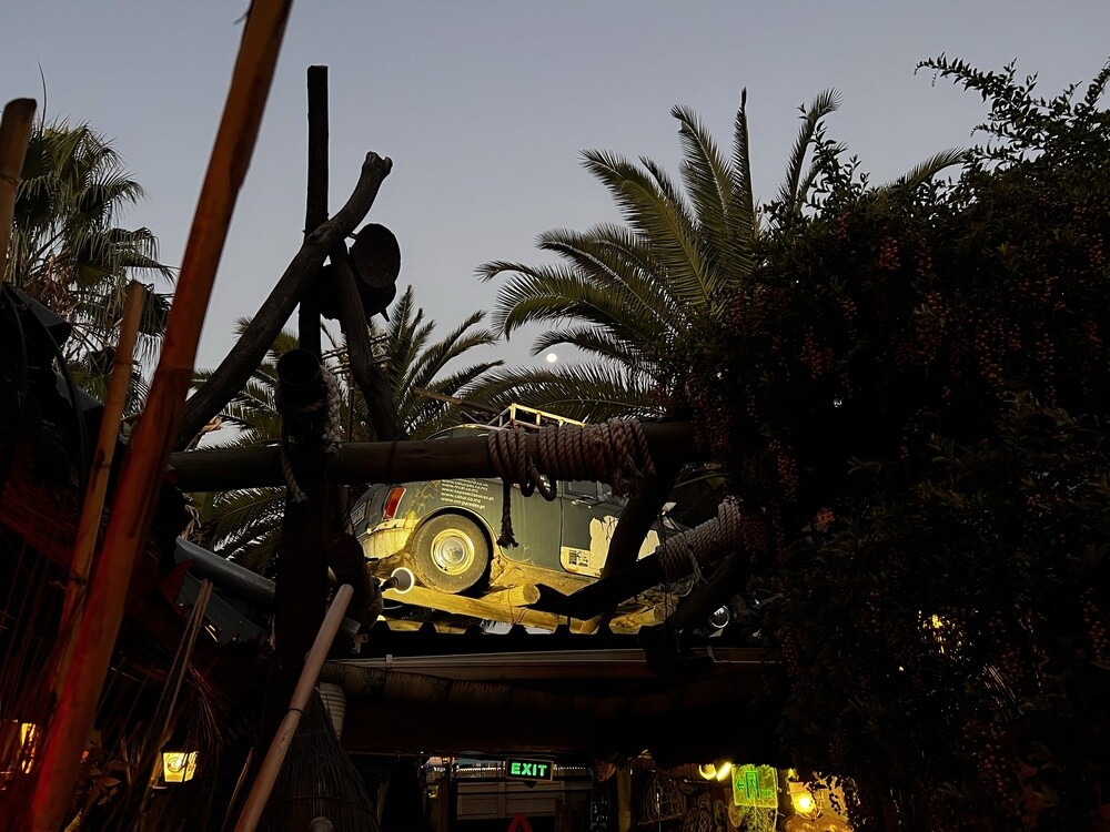
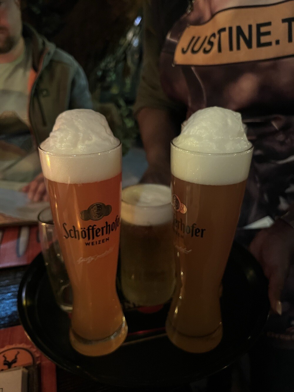
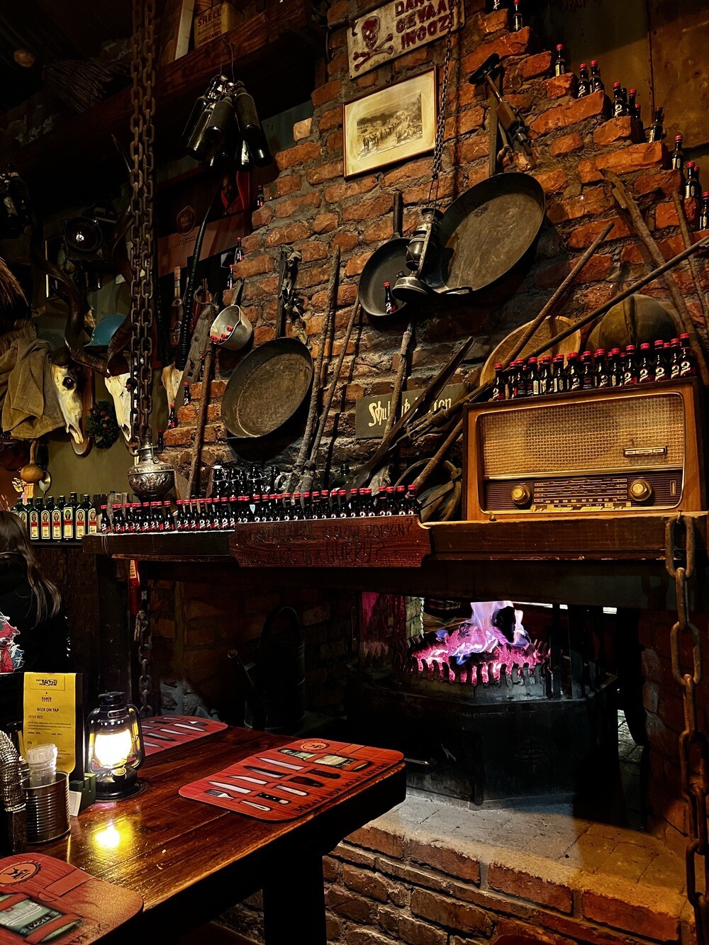
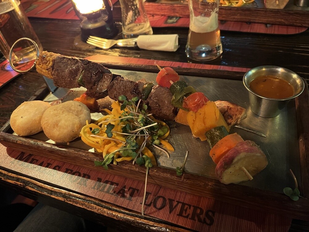
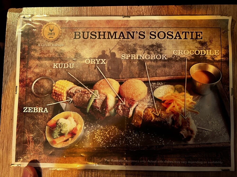
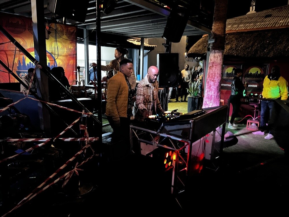
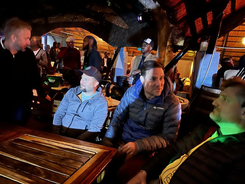
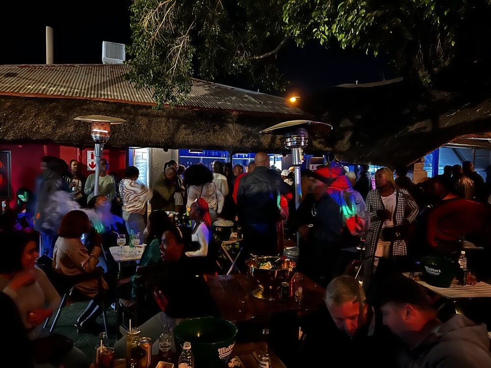
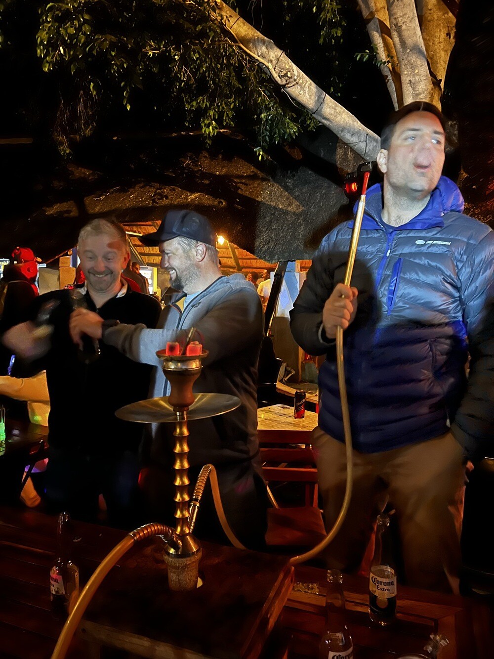
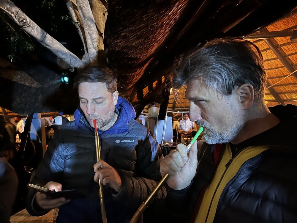
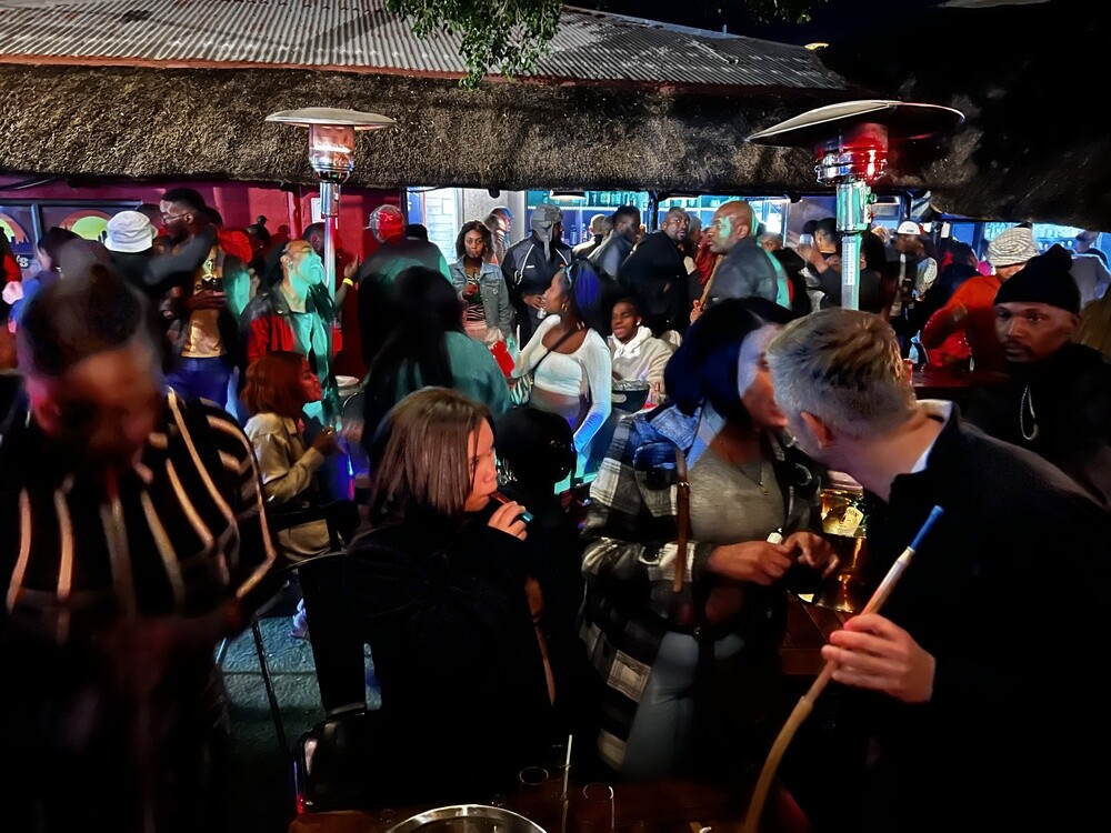
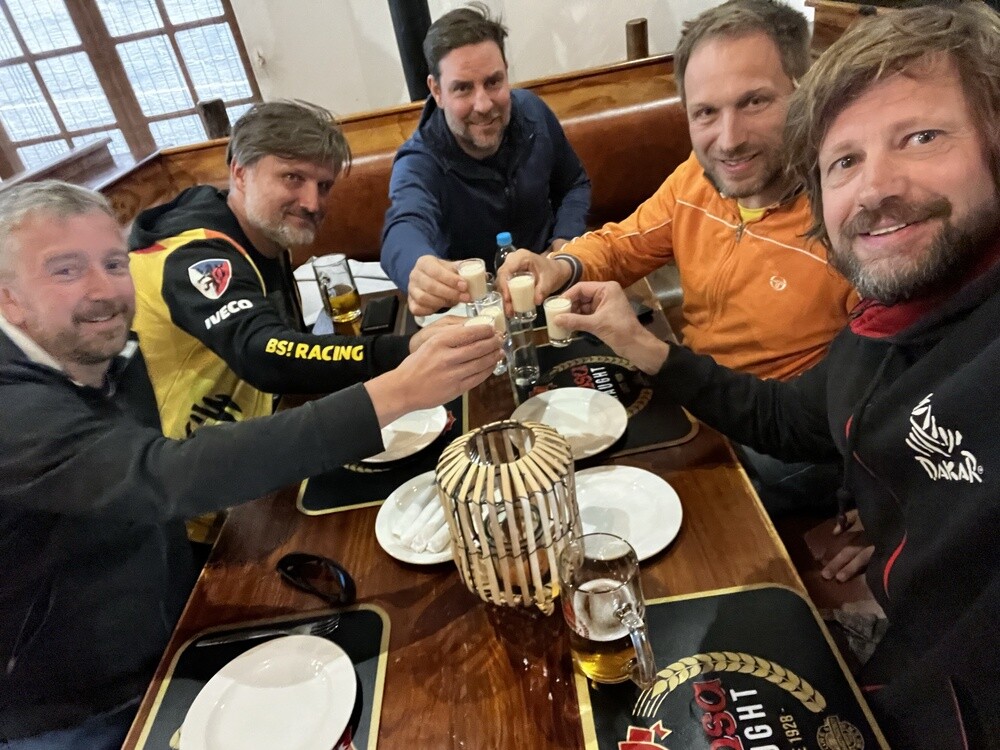
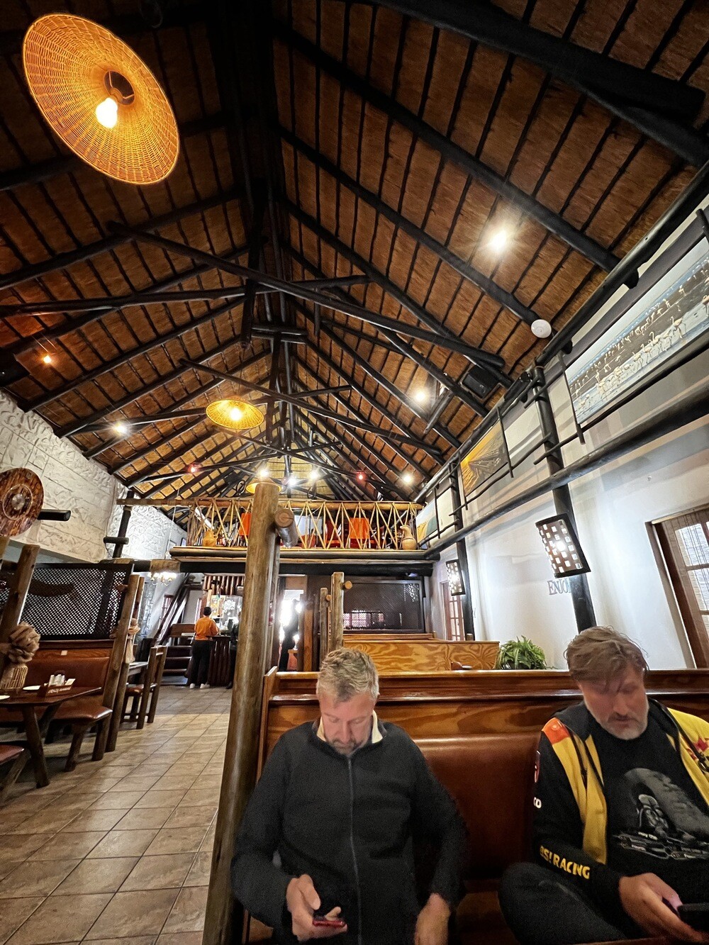
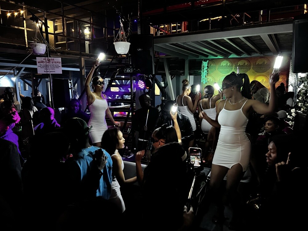
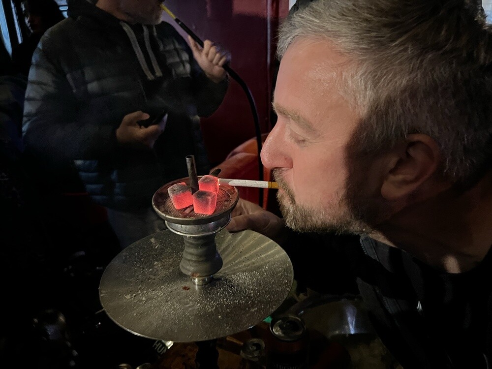
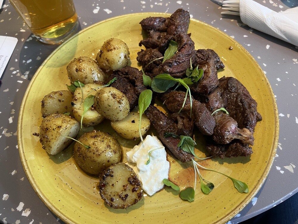
In the evening Joe's Beerhouse and a Bushman's sosatie, a skewer of kudu, oryx, zebra, springbok and crocodile. Then a shisha at the Chicago bar.
Windhoek
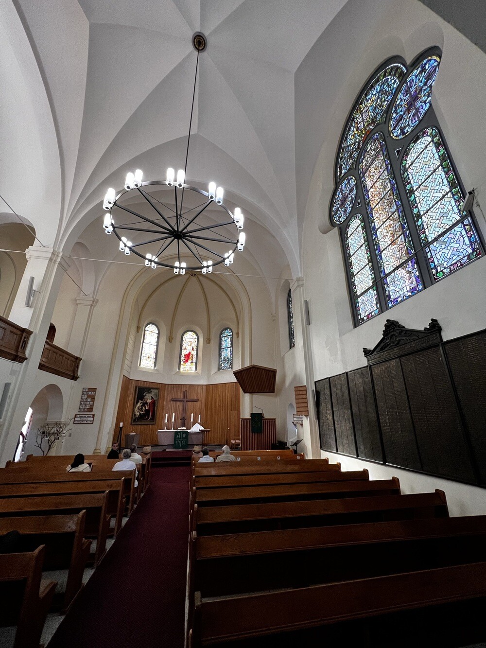
Namibia's capital lies in the middle of the country at an altitude of around 1,650 m. It was founded in 1890 by the Germans as a military post, and from colonial times there remains, for instance, the Lutheran Christuskirche from 1910. Namibia was a German colony until 1915, then it was controlled by South Africa and it's been independent since 21 March 1990.
Sunday 02/07/2023, Windhoek, Gross Barmen, Waterberg
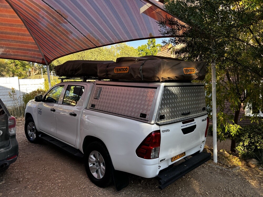
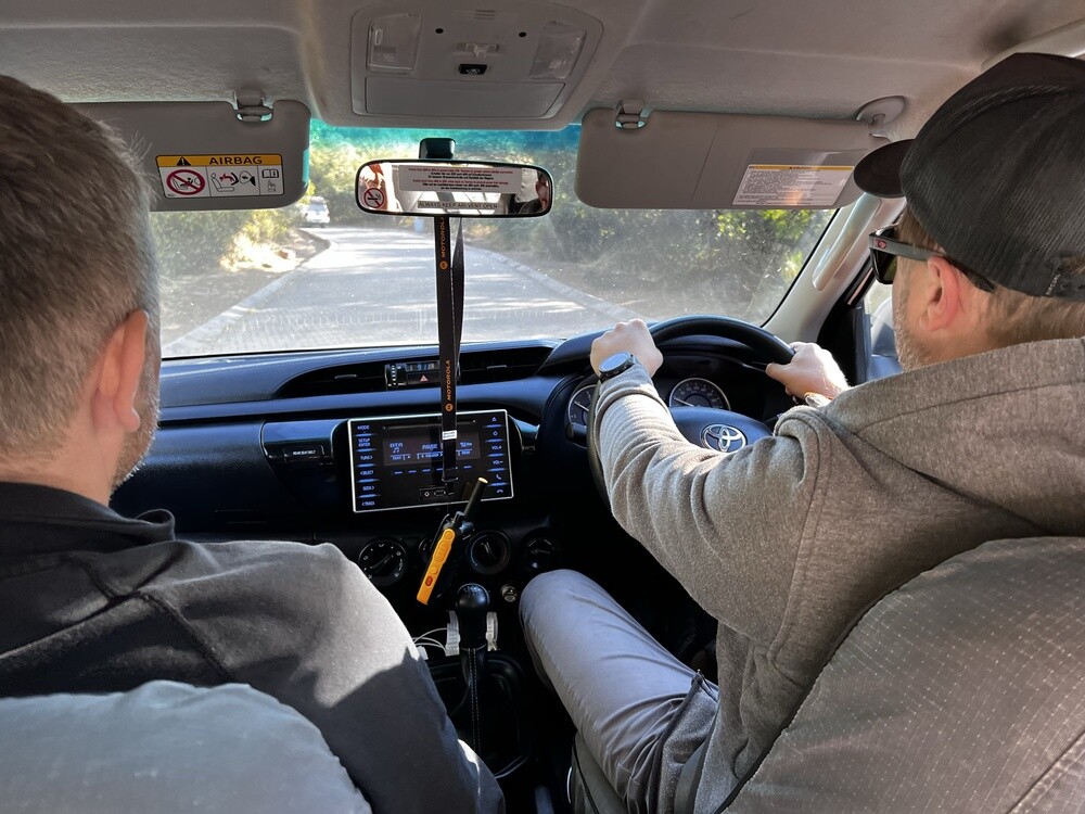
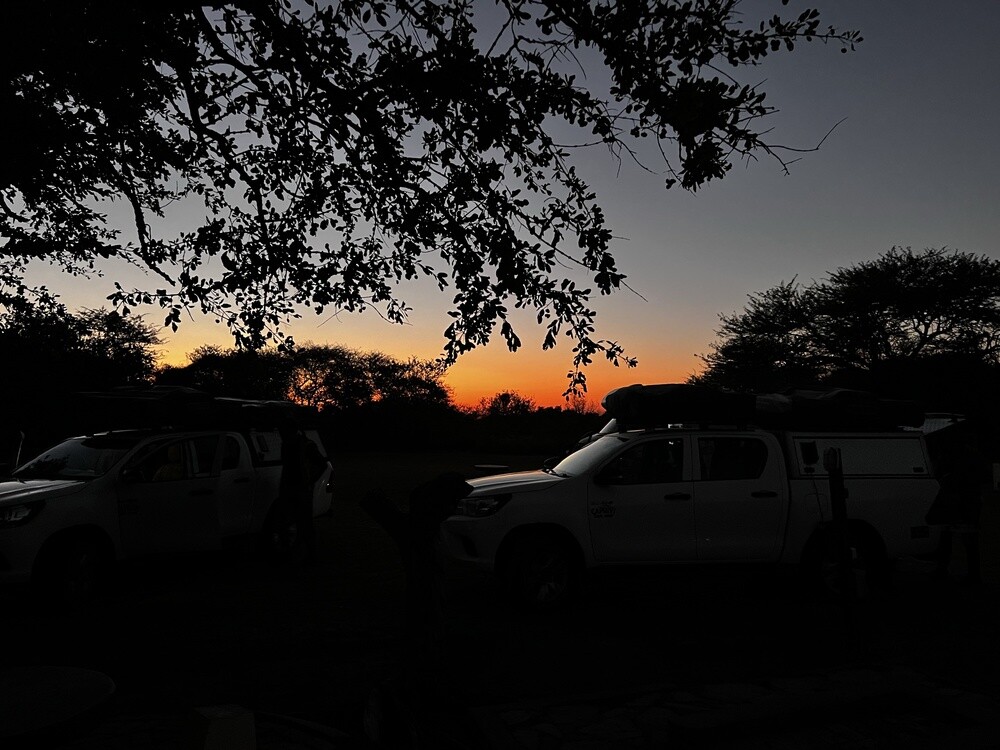
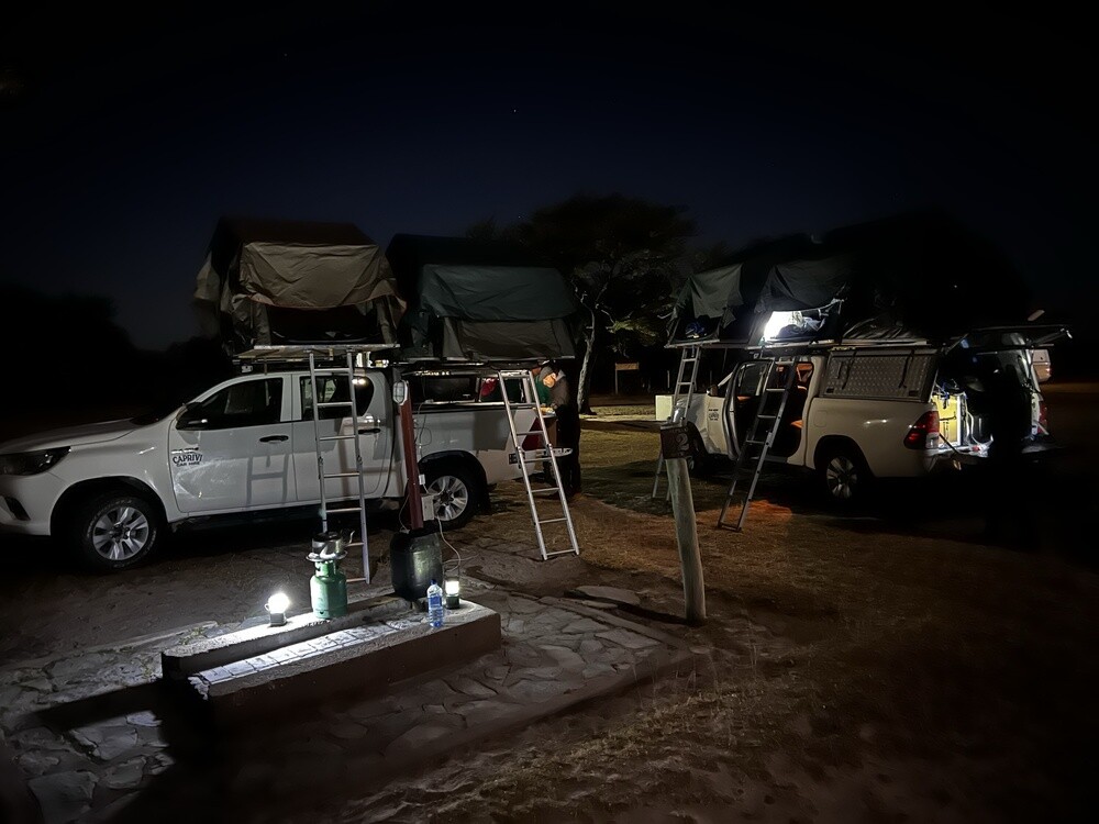
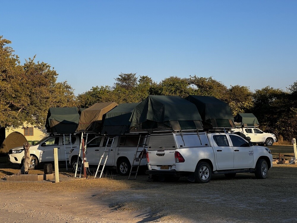
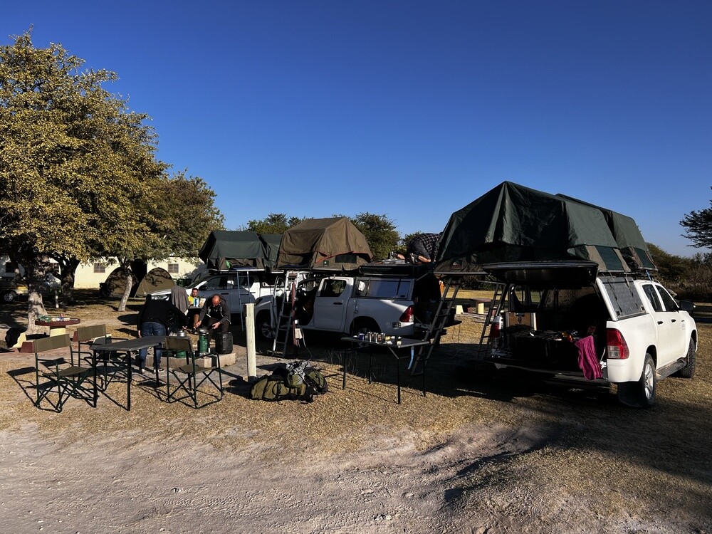
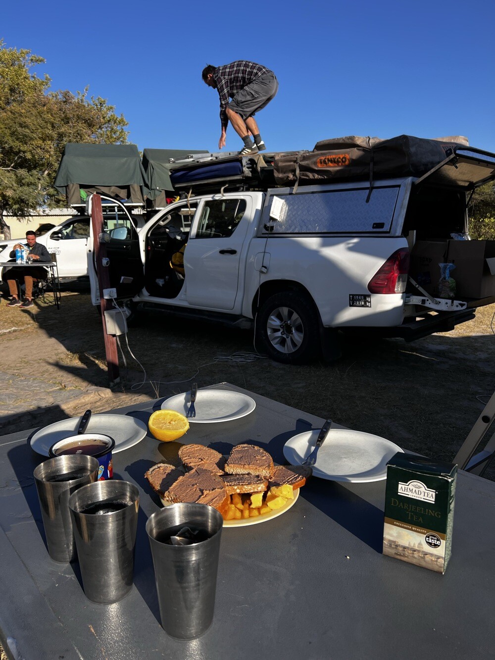
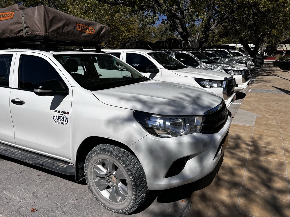
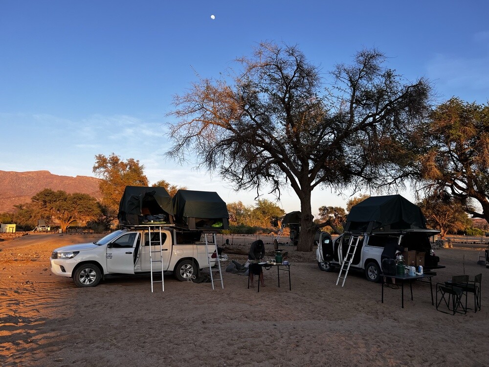
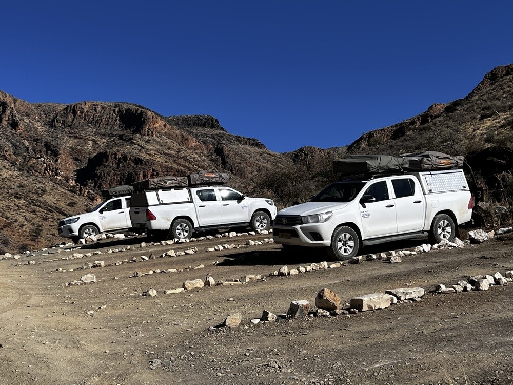
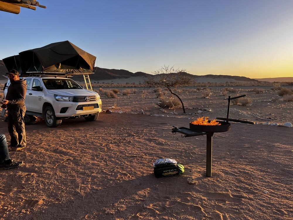
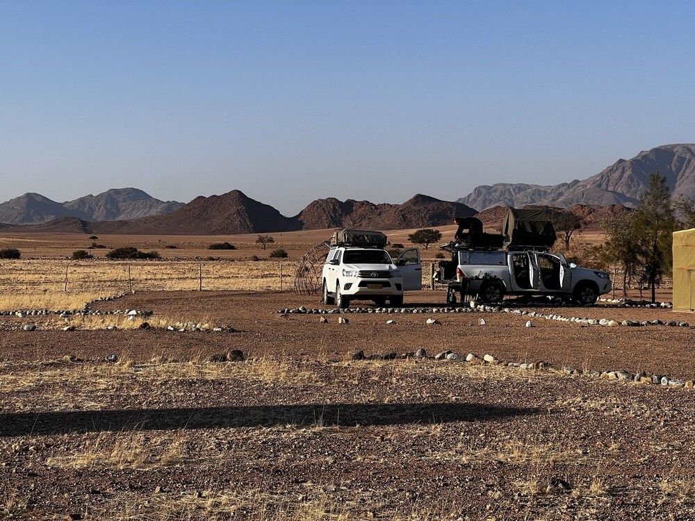
In the morning we pick up the cars, three Toyota Hiluxes that will stay with us for the whole trip. They have everything: a rooftop tent that unfolds in a couple of minutes, a gas bottle with a stove, a fridge, dishes, a table and chairs. A short stop at the Christuskirche and we head north.
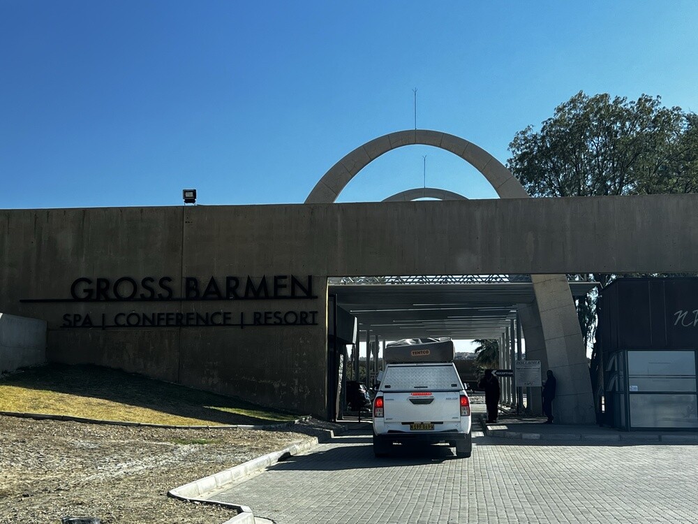
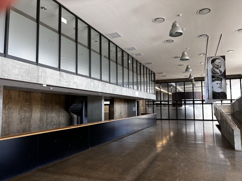
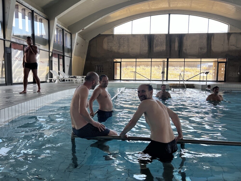
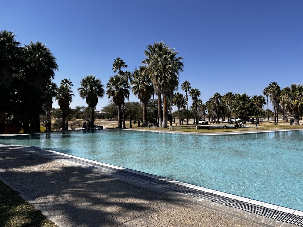
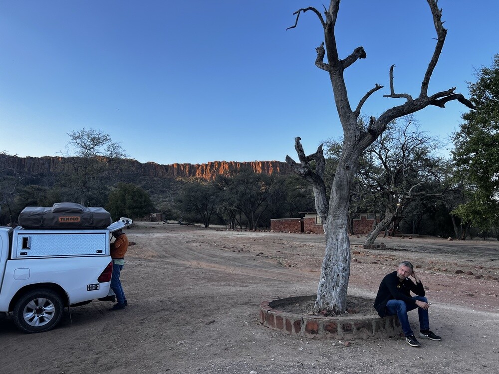
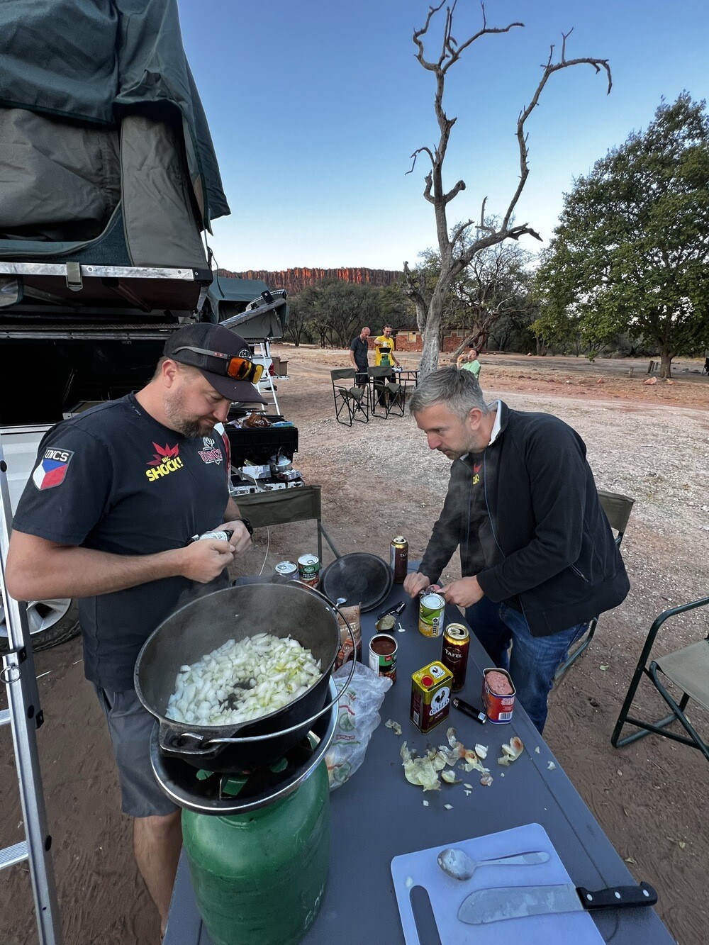
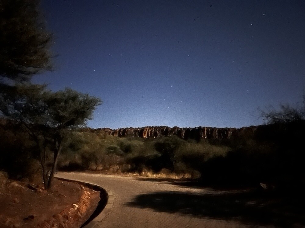
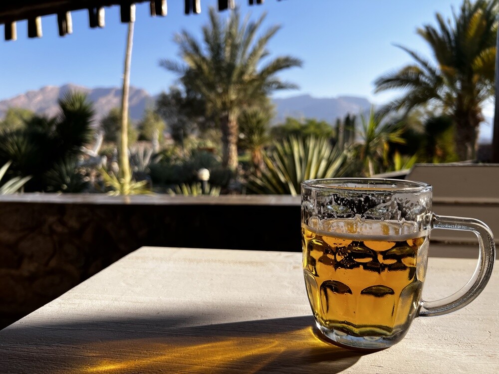
Our first stop was the Gross Barmen thermal baths. Mirek summed it up briefly: no big deal, it looks like a swimming stadium from the commie era and the food was awful. In the evening we got to the campsite below Waterberg and slept in the tents for the first time. For dinner I cooked beans on the gas stove, a beer to go with it and it was great. The nights here are really cold though.
Gross Barmen
The hot springs near Okahandja were already known to the Herero. In 1844 the Rhenish Mission founded the Barmen mission station here. Today there's a spa resort run by the state company Namibia Wildlife Resorts with an indoor thermal pool and an outdoor swimming pool.
Waterberg Plateau Park
The red sandstone table mountain rises about 200 m above the surrounding savannah and the national park has been here since 1972. On the plateau, which animals find hard to reach, the park keeps rare species such as rhinos. In August 1904 German troops defeated the Herero here and then drove them into the Omaheke desert. These events are now described as genocide.
Monday 03/07/2023, Waterberg, Hoba, Etosha
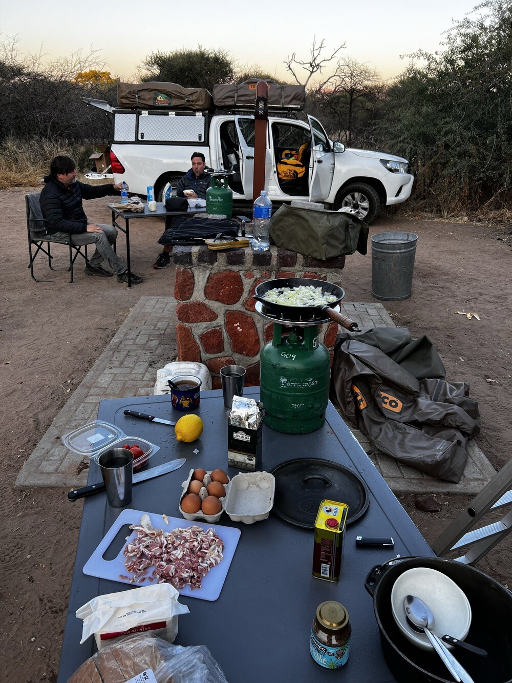
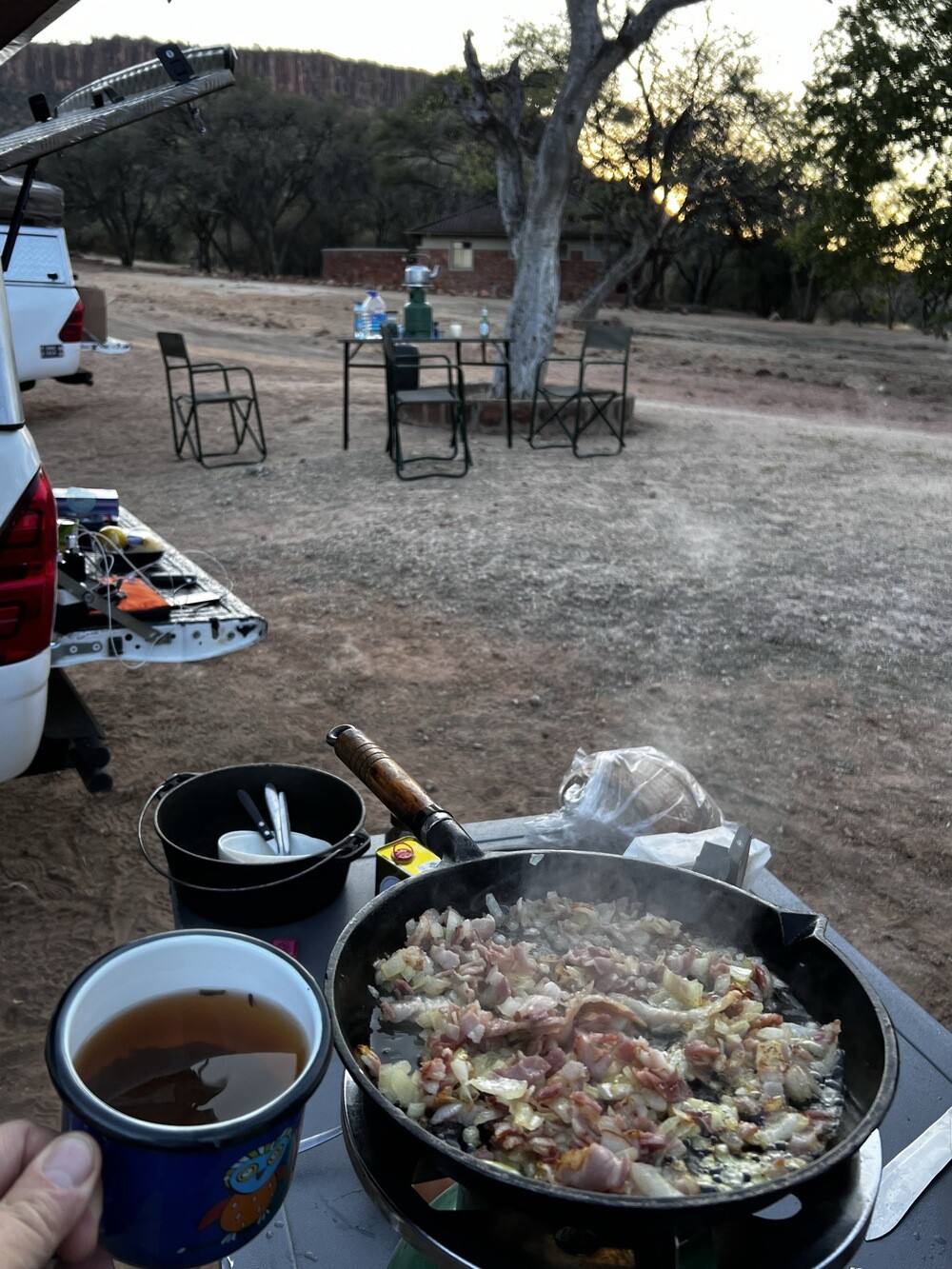
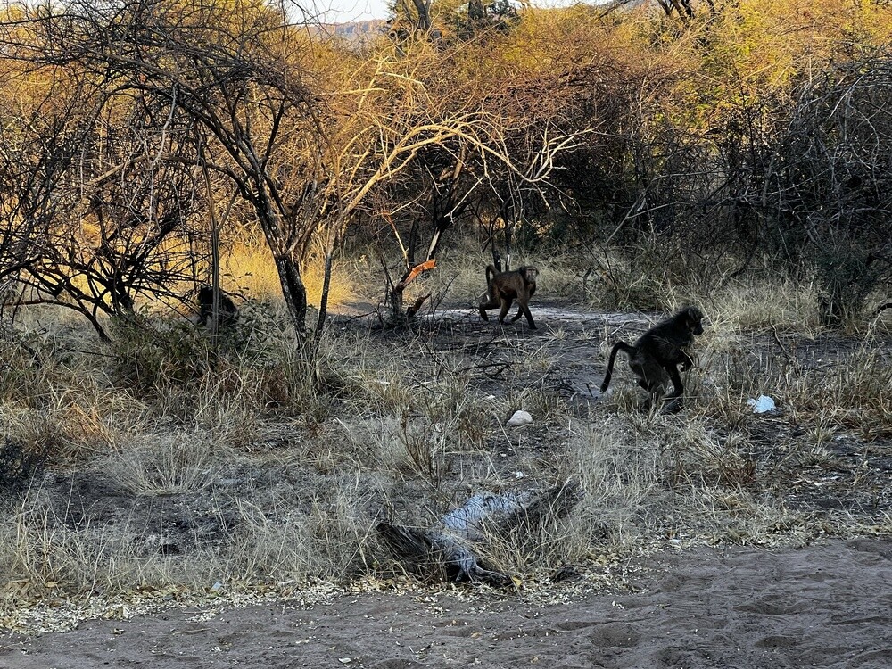
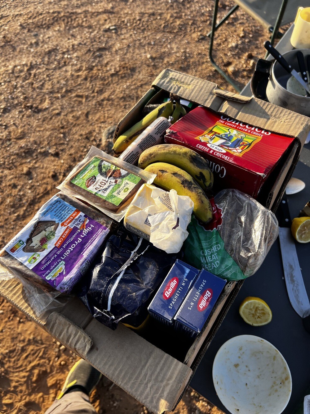
Breakfast on the stove and straight away the first lesson: baboons. One stole our apples from the car and meanwhile another one cleaned out a whole crate of bananas from the other side. Coordination like a special forces unit 😄
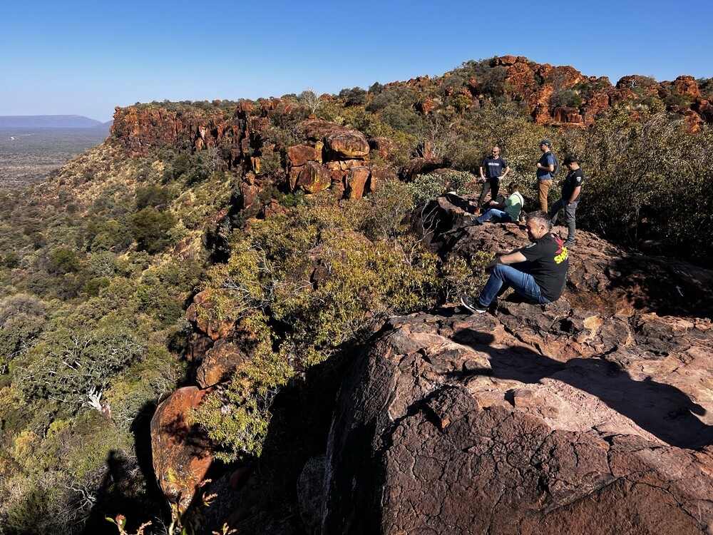
After breakfast we walked up to the edge of the Waterberg plateau, from where you can see the savannah all the way to the horizon, and we ran into some other Czechs there. Then refuelling (one Toyota swallowed 119 litres, while warthogs strolled around the petrol station) and off towards the Hoba meteorite.
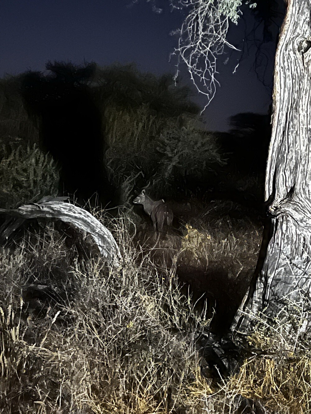
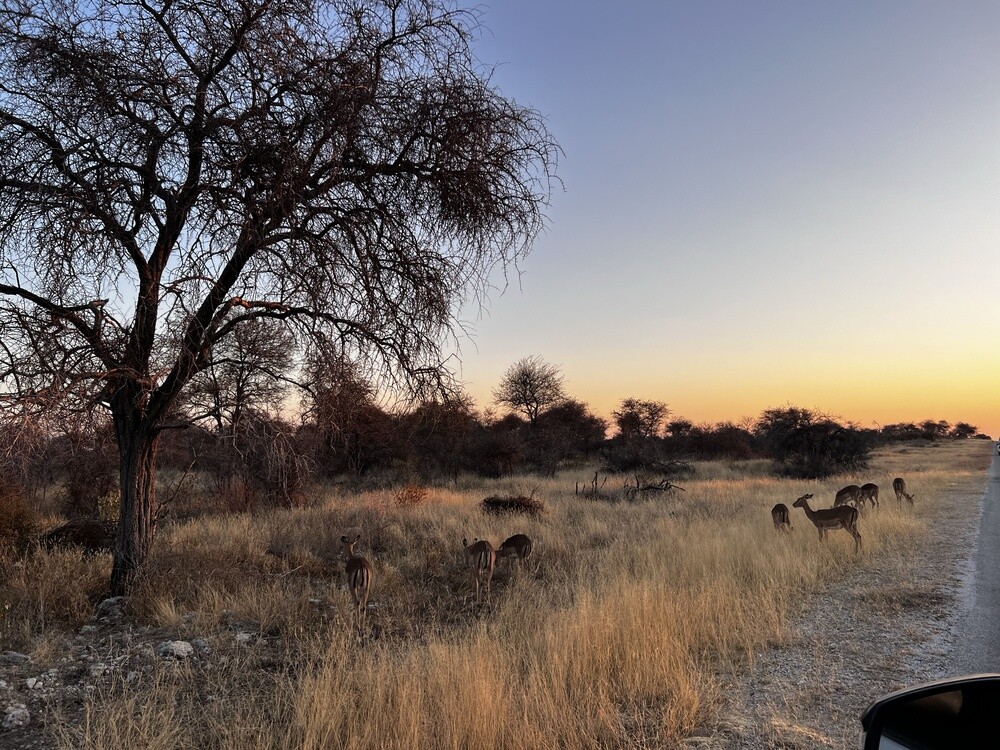
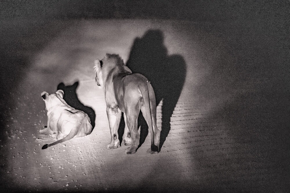
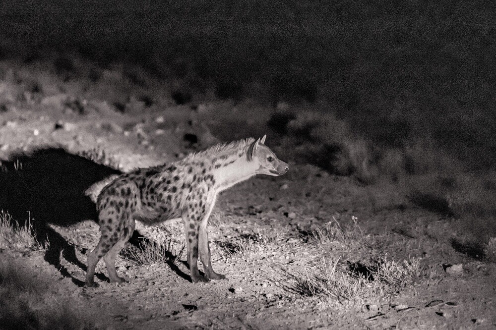
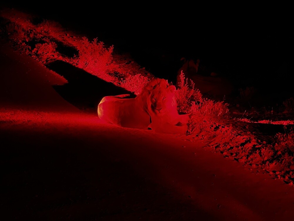
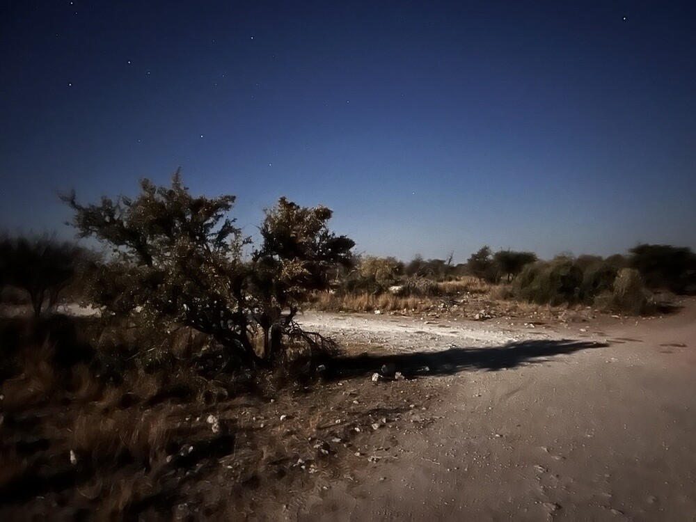
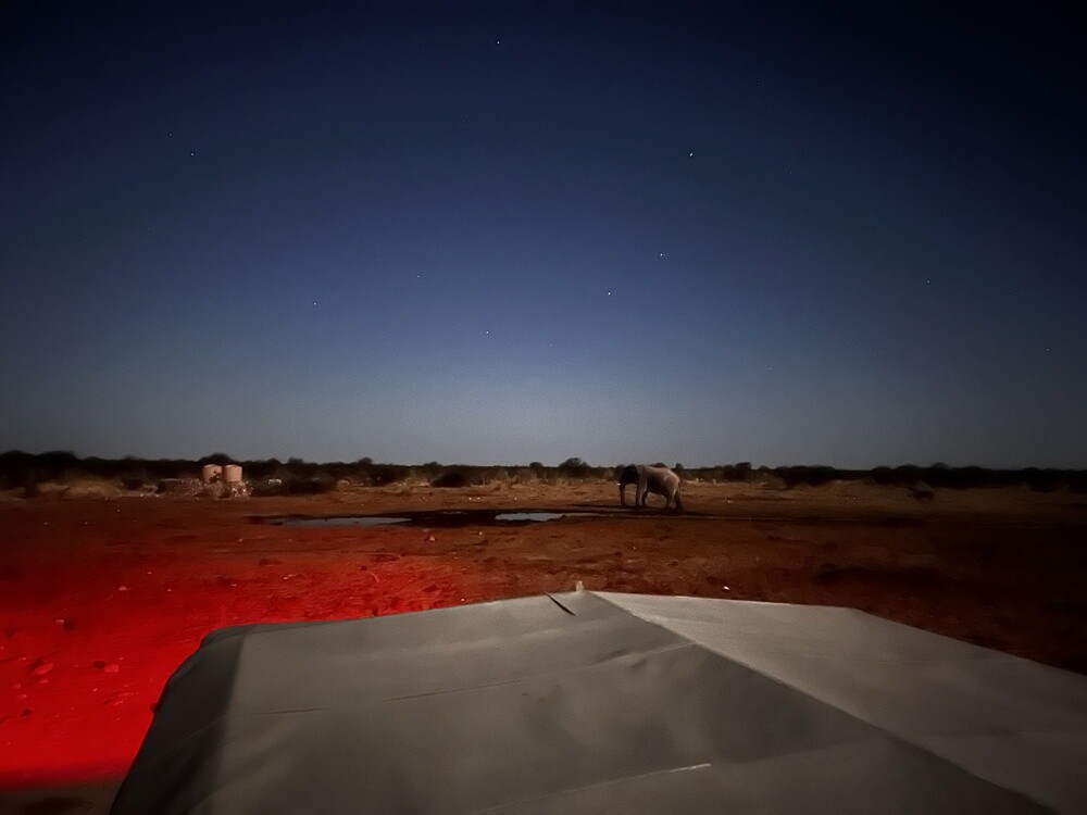
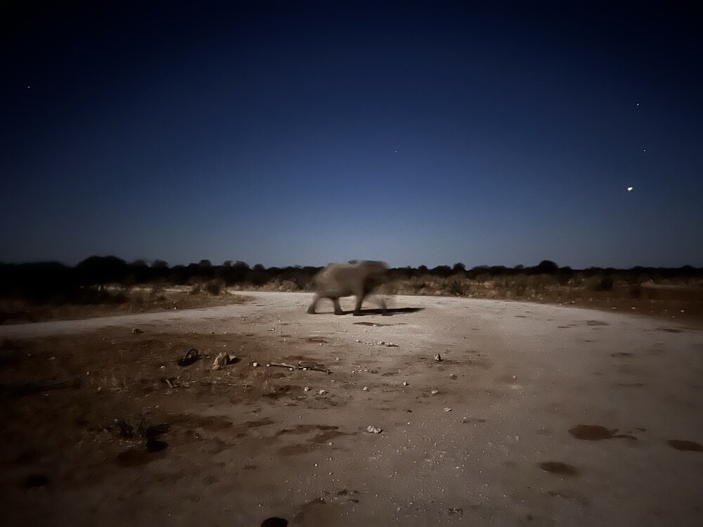
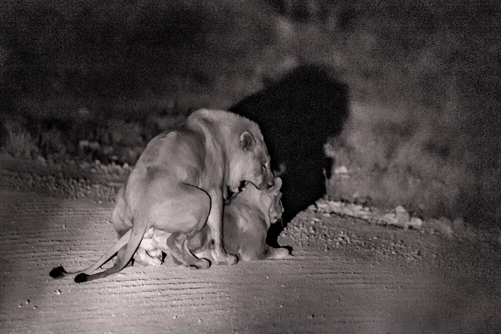
We only reached Etosha in the evening. At the Namutoni camp we quickly set up the tents and headed straight out on a night game drive. We got lucky: rhinos, elephants, antelopes, a hyena and above all a lion with a lioness who were just busy reproducing. Twice. Only that cold! Sitting in an open car at night was freezing like in a morgue.
Hoba meteorite
The largest known meteorite on Earth lies near Grootfontein right where it fell, an estimated 80,000 years ago. A farmer found it in 1920. It weighs around 60 tonnes and is about 84% iron and 16% nickel. It's been a national monument since 1955.
Namutoni
The white fort in the east of Etosha was a German police station. In January 1904 it was besieged by the Ovambo; today's building dates from 1906. Now it houses a campsite and accommodation for park visitors.
Etosha National Park
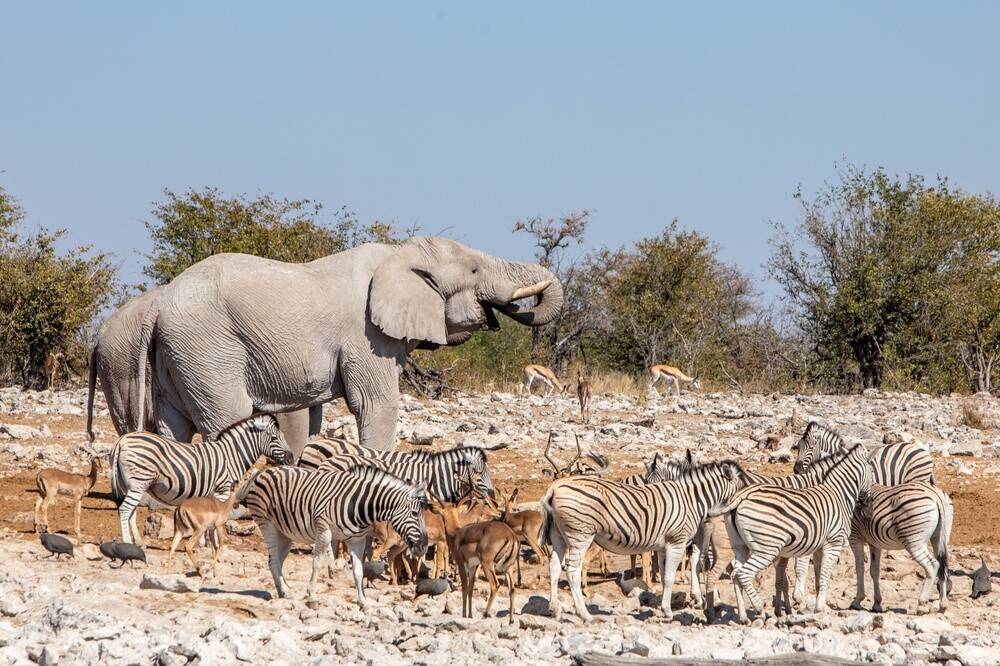
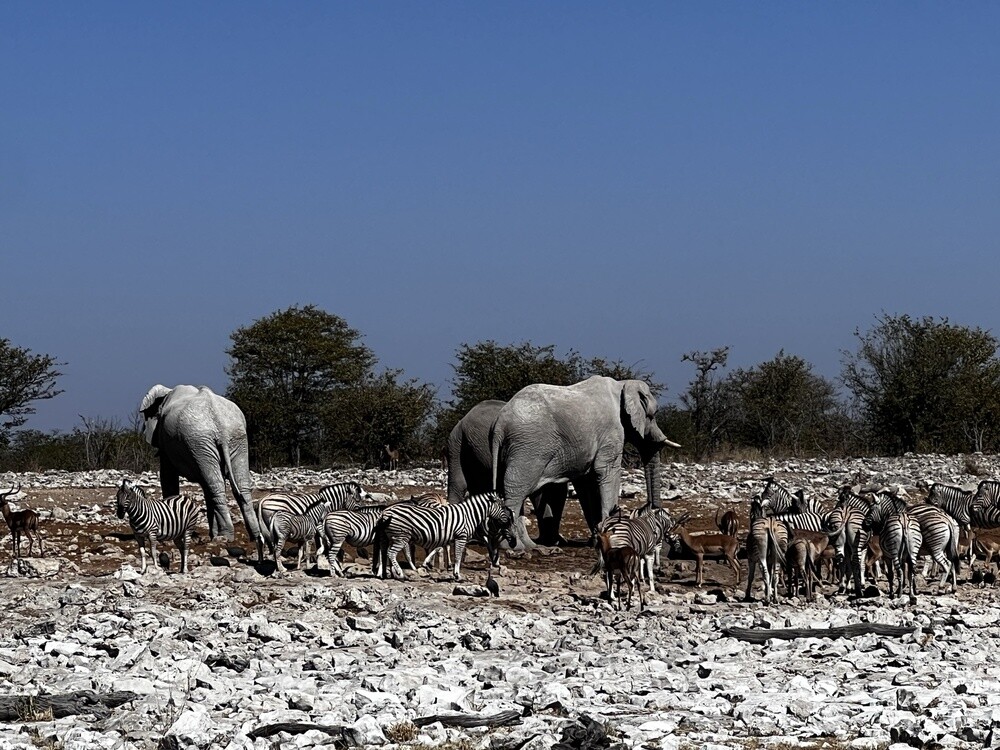
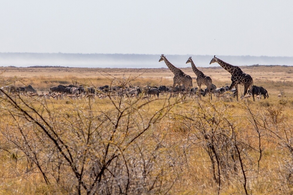
The park covers over 22,000 km², more than a quarter of the area of the Czech Republic. It was declared a reserve by the German governor Friedrich von Lindequist in 1907. Lions, elephants, giraffes, zebras, rhinos and dozens of antelope species live here, and in the dry season (July, exactly) they gather at the waterholes.
Tuesday 04/07/2023, Etosha
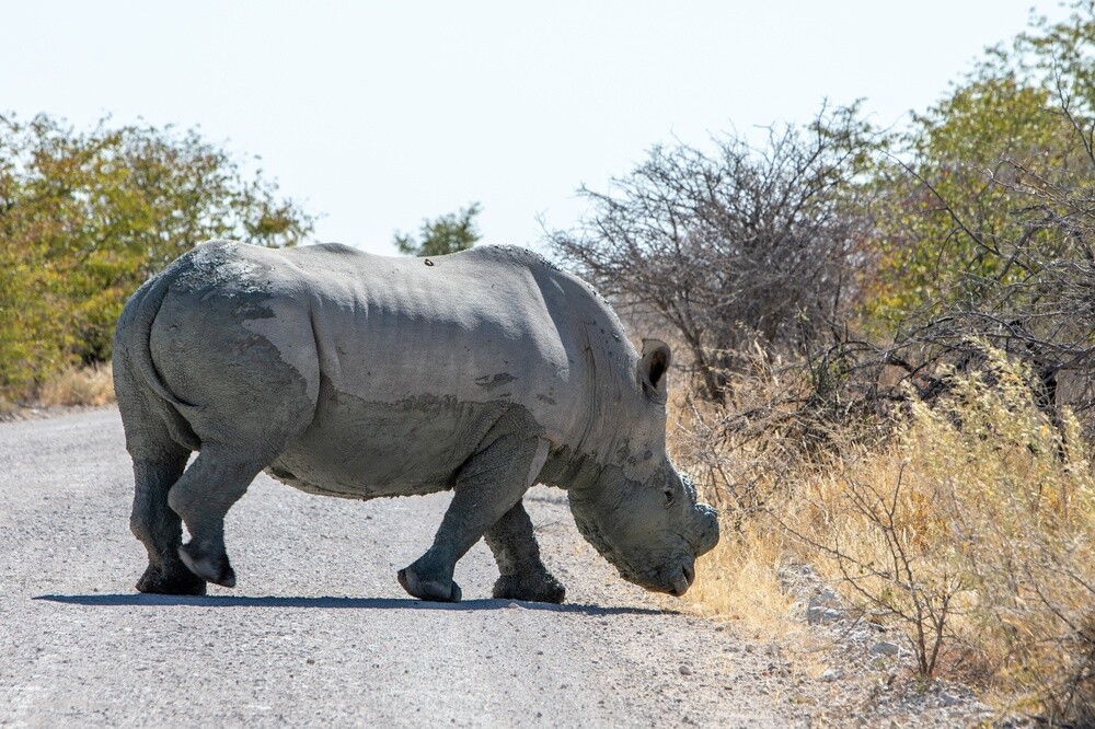
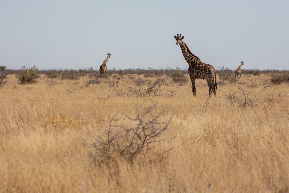
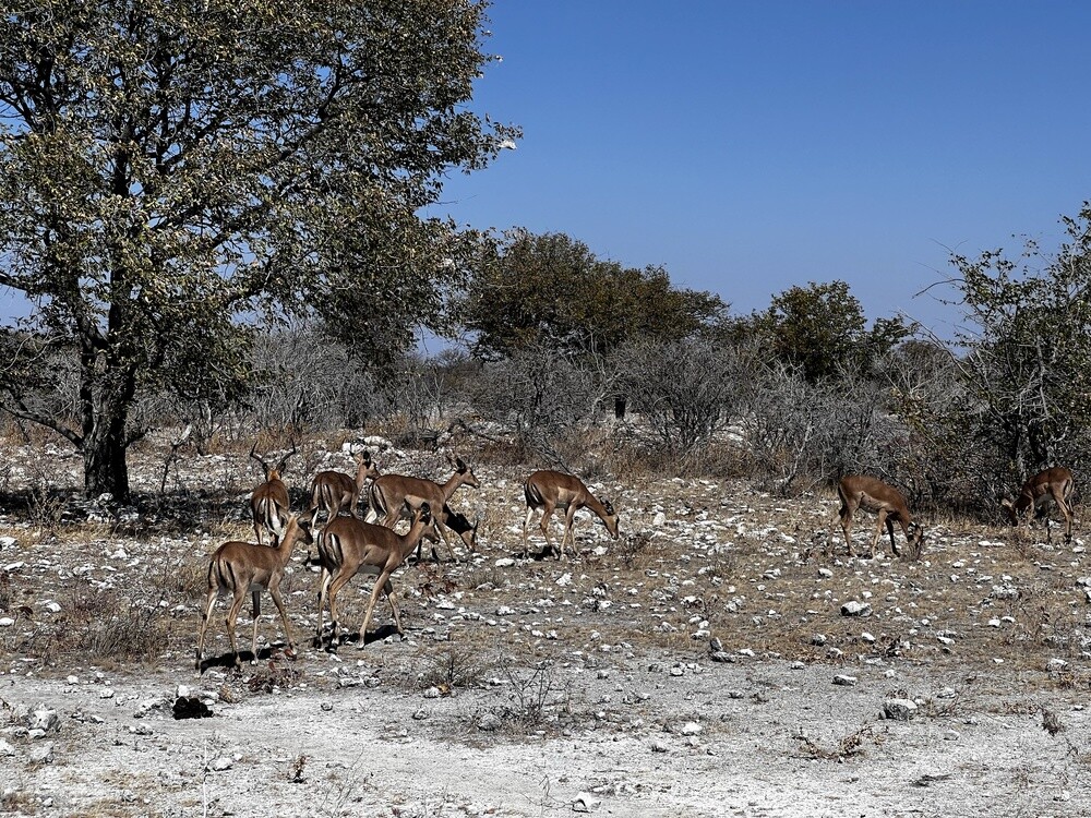
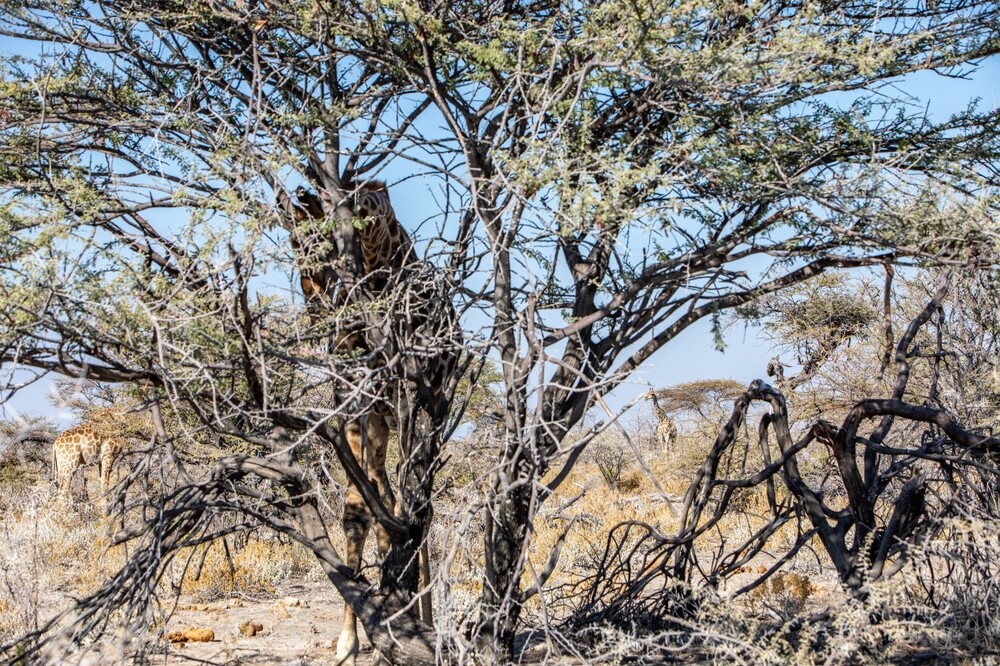
We spend the whole day criss-crossing Etosha in our own cars. The animals stick to the waterholes, so they're easy to find: giraffes, elephants, zebras, ostriches, antelopes of all kinds, and a huge rhino crossed the road right in front of us. You're not allowed to get out of the car in the park, you only stop for lunch and the toilet at the campsites.
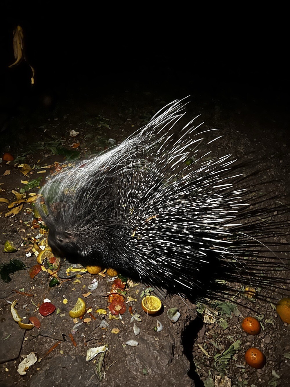
Towards evening we drive out through the gate and that's where the worst scene of the day came: the rangers checked our fridges and confiscated the best stuff, the bacon and the sliced meat. The ranger will probably have a nice dinner. We slept in a lodge outside the park and in the evening a porcupine paraded around by the restaurant.
Etosha Pan
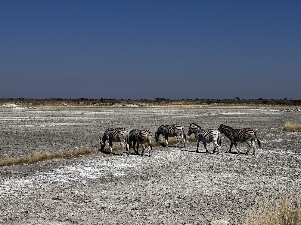
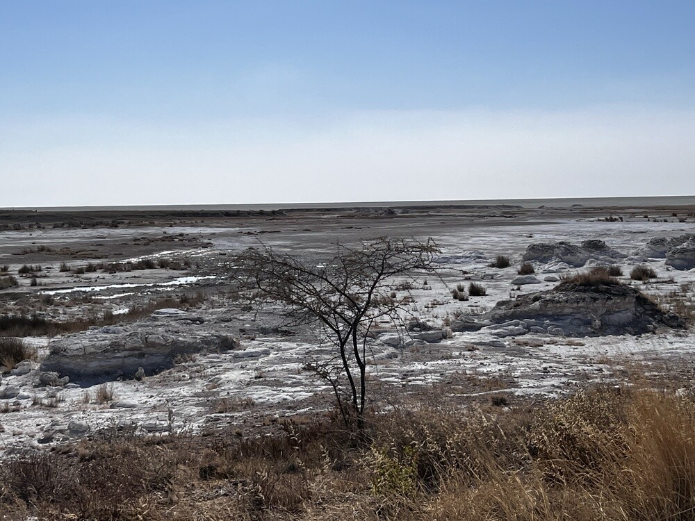
The salt pan covers about 4,800 km² and takes up roughly a quarter of the park. It's the bed of a dried-up lake, water only stands in it after heavy rains. In the Ovambo language, Etosha means great white place.
Wednesday 05/07/2023, Outjo, the Himba, Uis, Brandberg
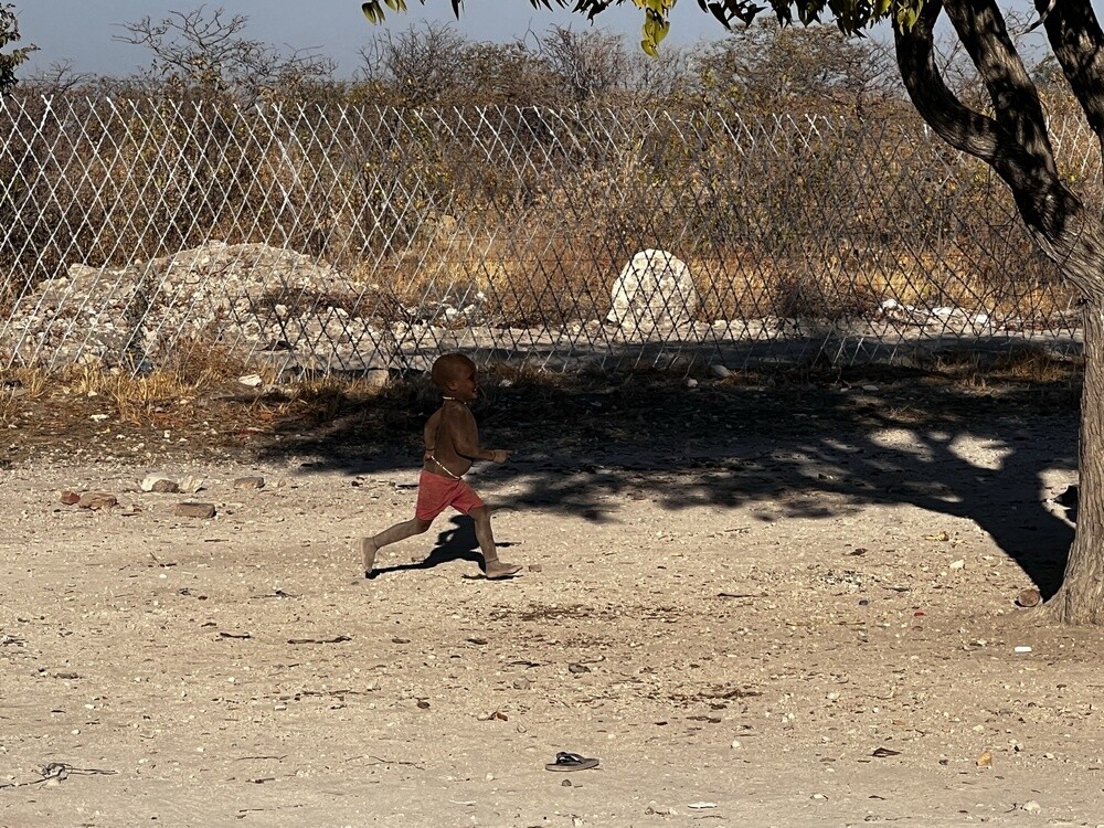
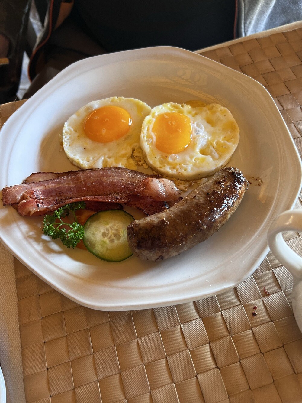
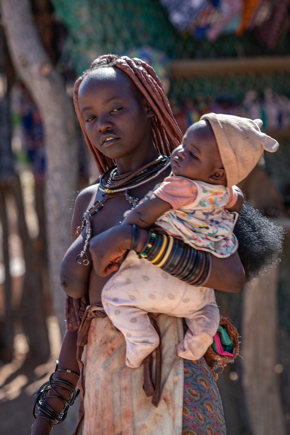
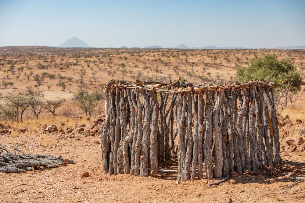
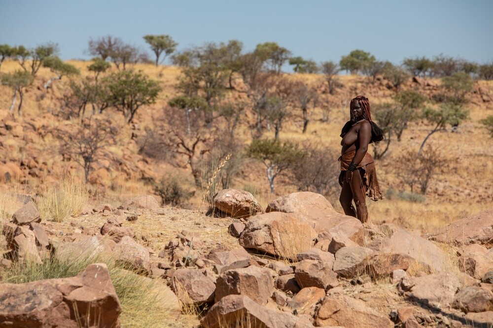
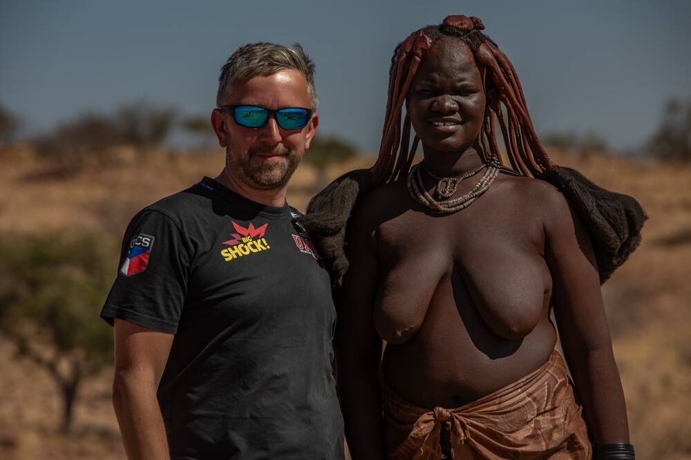
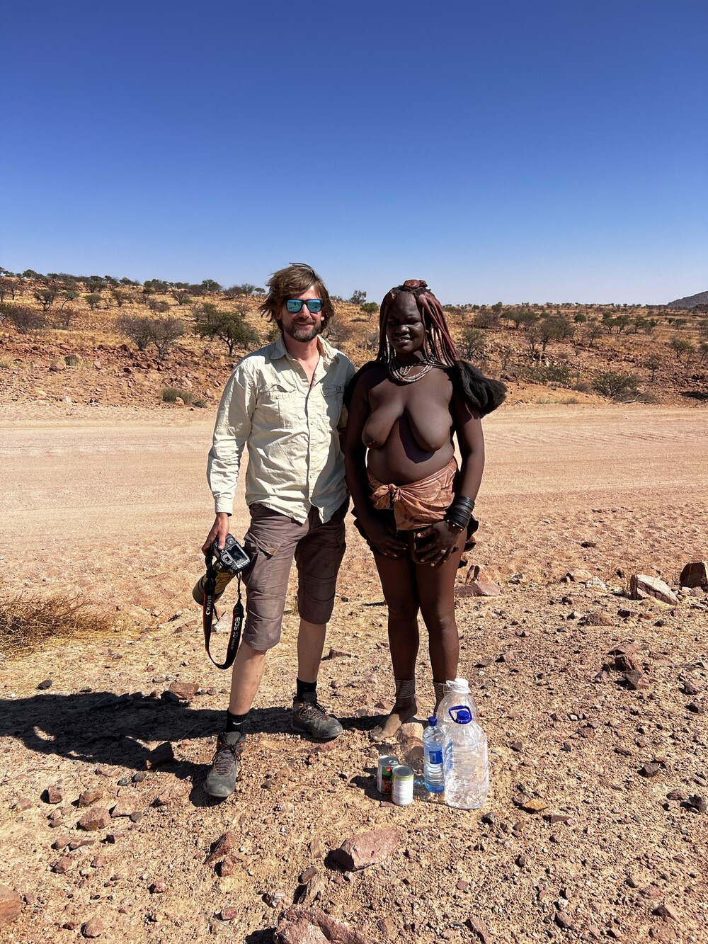
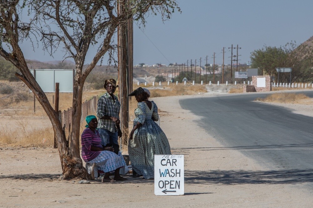
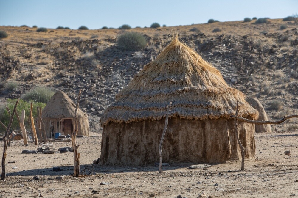
In the morning, at last, a breakfast someone else cooked for us: eggs, bacon and sausage. Then on through Outjo towards Brandberg and the biggest experience of the whole trip along the way. The Himba and the Herero live here. Himba women stand by the road waving an empty water bottle. In exchange for water and a tin of beans and corn they were happy to have their picture taken with us. They coat their skin and hair with otjize, a mix of ochre and fat, so they're all red and their braids look like they're made of clay. On their arms and legs they wear massive bangles which apparently also protect them from animals. The Herero women, on the other hand, walk around in long floor-length dresses.
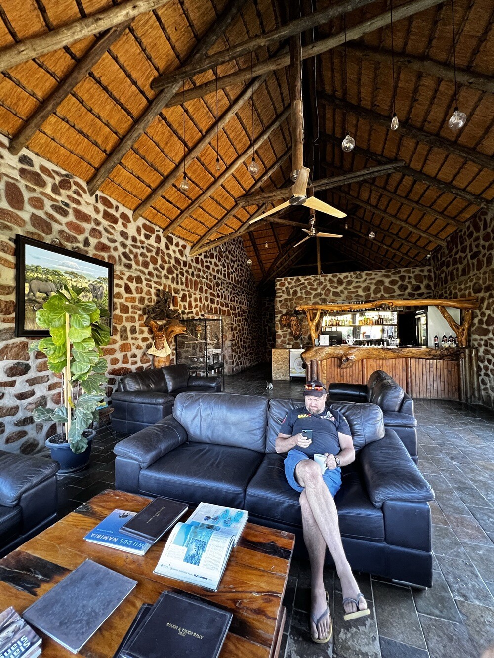
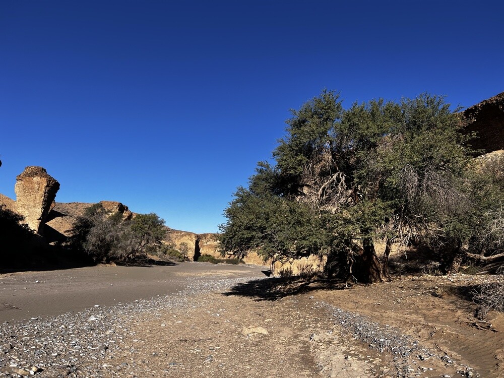
In Uis, where the tin mine was shut down, everyone tried to sell us rocks. But there are signs everywhere saying it's illegal and they'll confiscate it at the airport anyway, so we left it to the locals. We sleep in tents at the Brandberg White Lady Lodge campsite. In the evening we took a walk along a dry riverbed, Mirek kept turning around to check whether an elephant or a hyena was charging at us from somewhere.
Outjo
The little town on the road between Etosha and Damaraland was founded by the Germans in 1897 as a military post. For travellers it's the last bigger place to shop and refuel before Etosha.
The Himba
These semi-nomadic herders live mainly in the Kunene region in north-western Namibia. The women rub their skin and hair with a mix of ochre and butter called otjize. It protects them from the sun and gives them their typical red colour.
Brandberg
This granite massif is Namibia's highest mountain, the Königstein summit measures 2,573 m. In the Tsisab gorge there's a rock painting called the White Lady, discovered in 1917 by the German surveyor Reinhard Maack. The paintings are estimated to be at least 2,000 years old.
Thursday 06/07/2023, Brandberg, Skeleton Coast
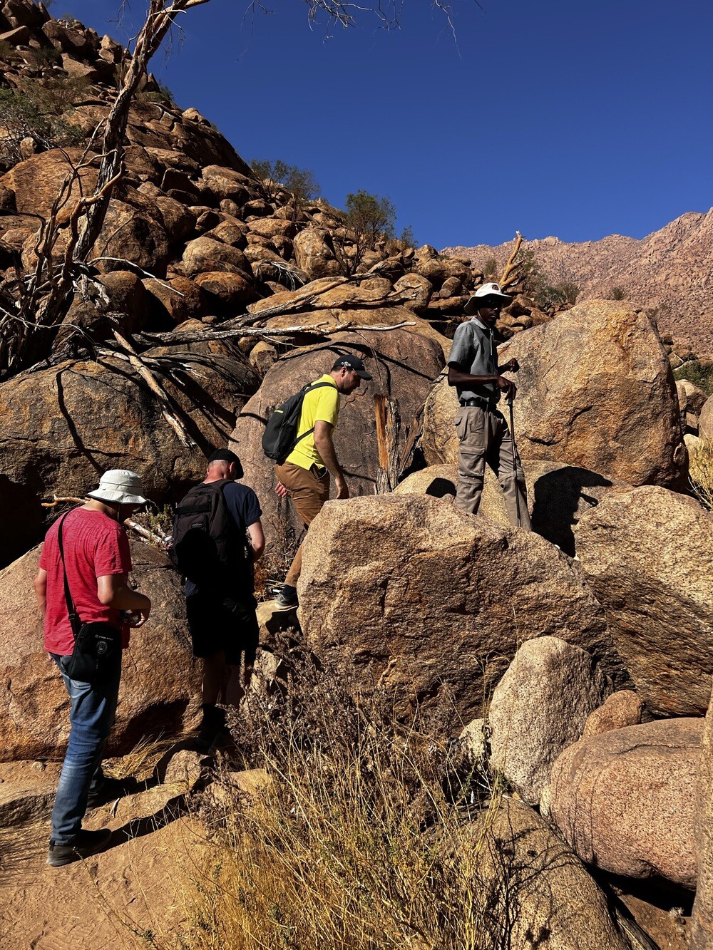
In the morning we walk with a guide for about two hours up the gorge to the most famous rock painting around here, the White Lady. There are black figures painted around her and she's the only white one. In reality it's probably neither a woman nor white, it's a shaman smeared with white clay.
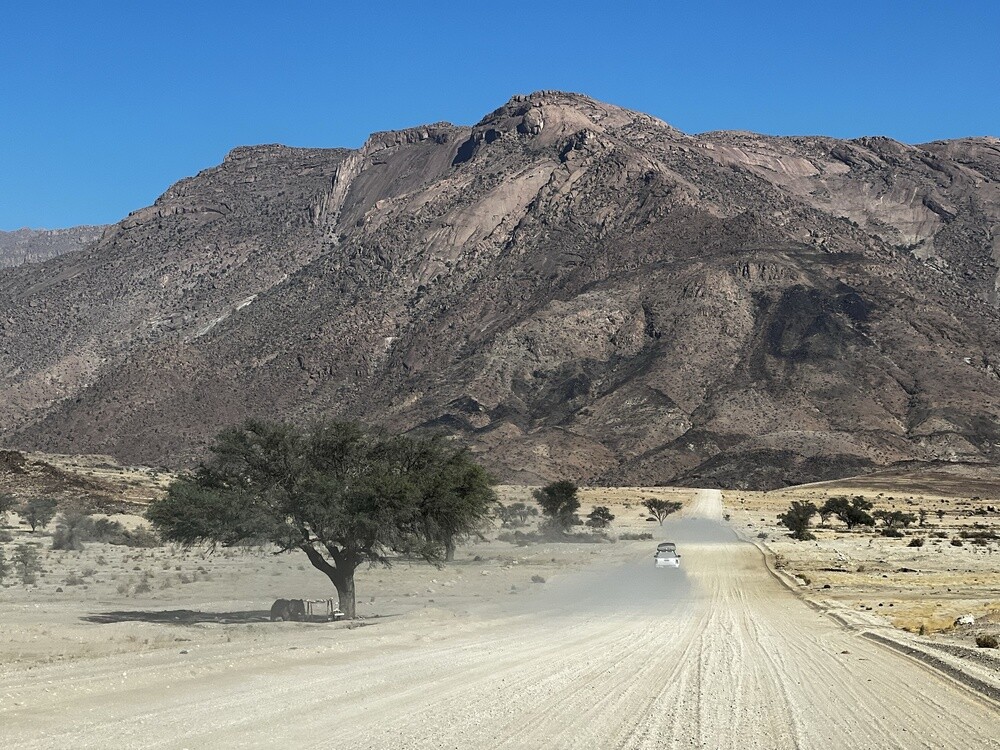
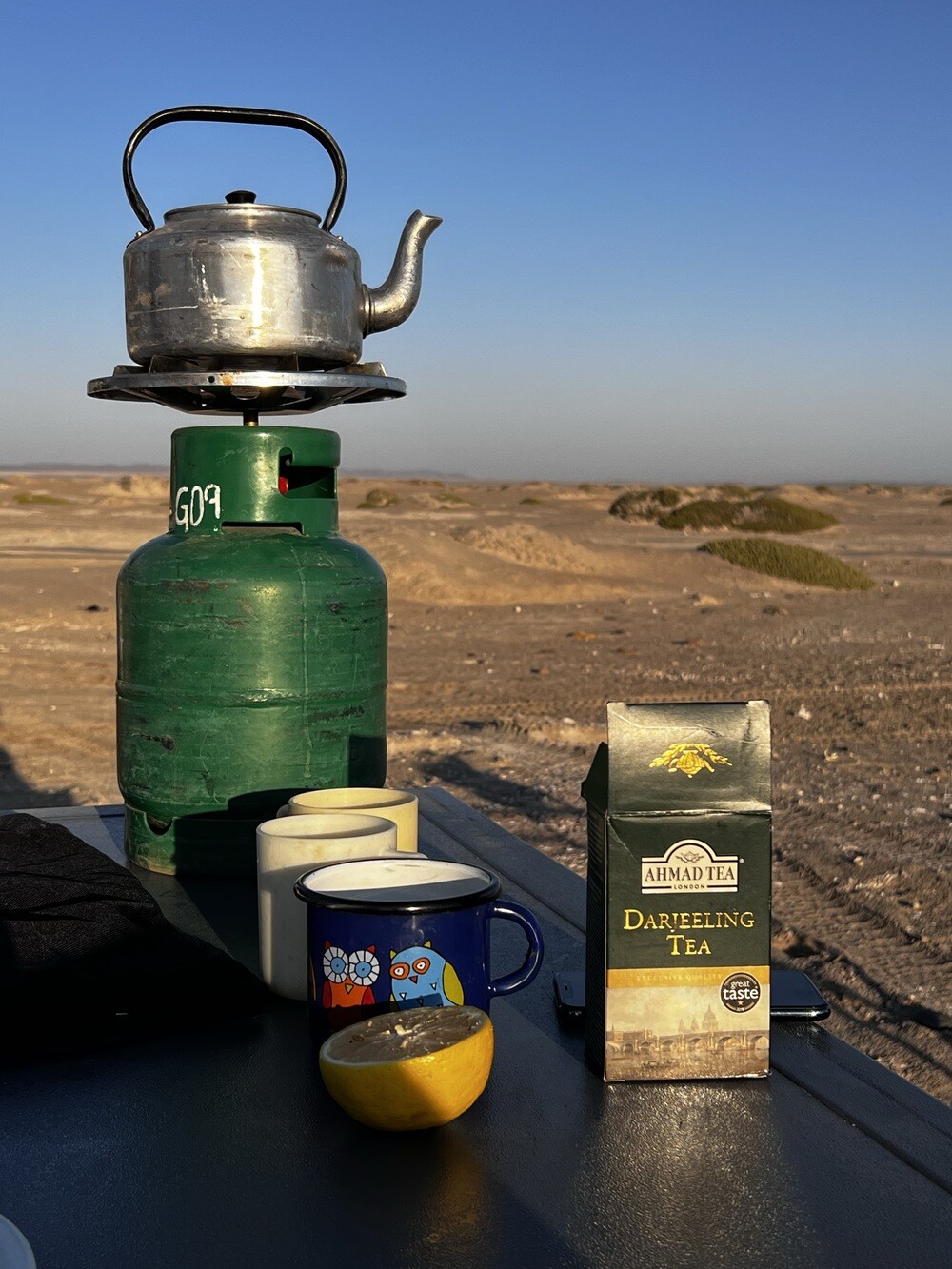
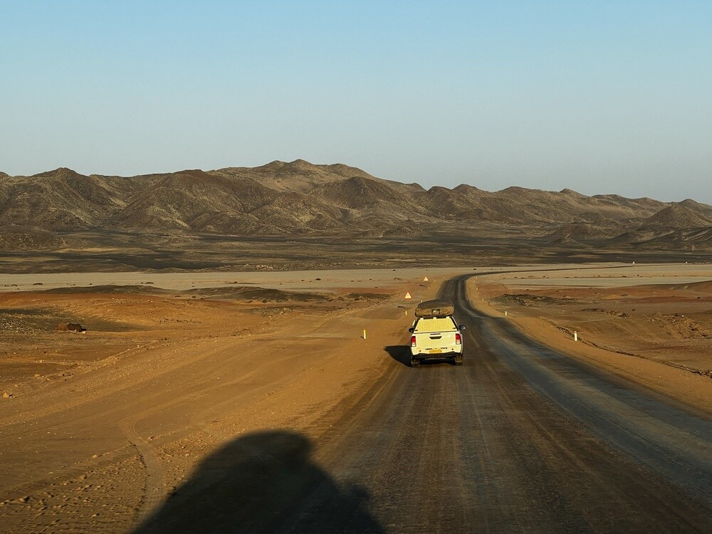
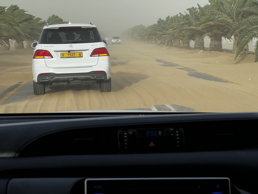
Then a long drive to the ocean. Lunch on the stove in the shade of a tree, tea on the bonnet and Jonáš got stuck in the sand for the first time. The second car pulled him out on a rope in no time, so we thought we had sand all figured out (spoiler: we didn't).
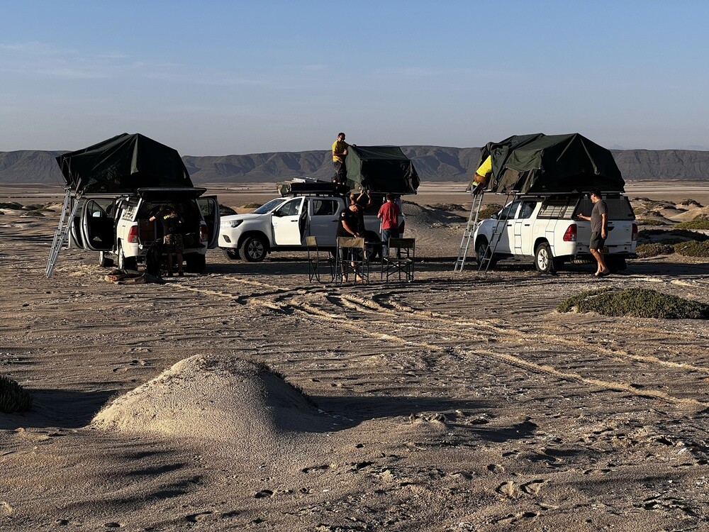
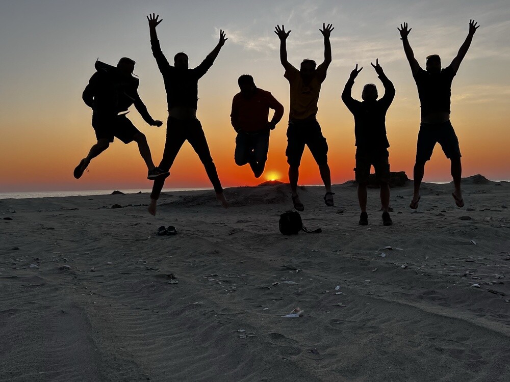
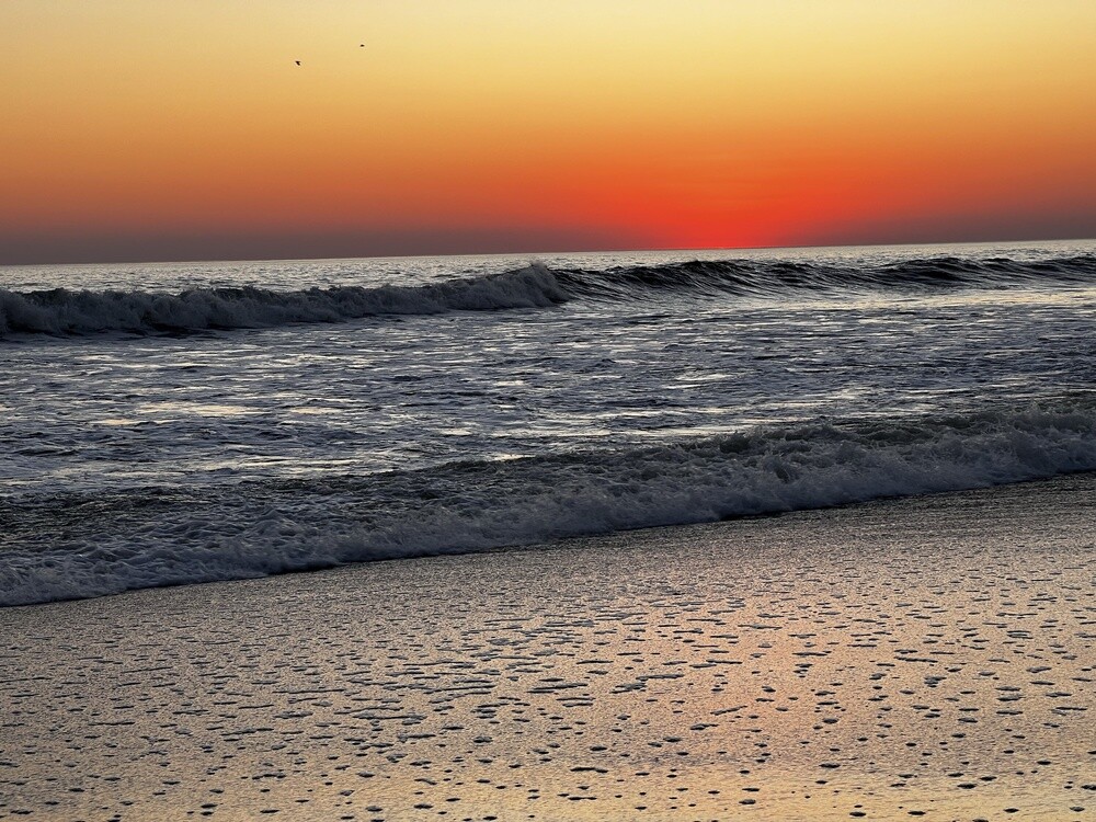
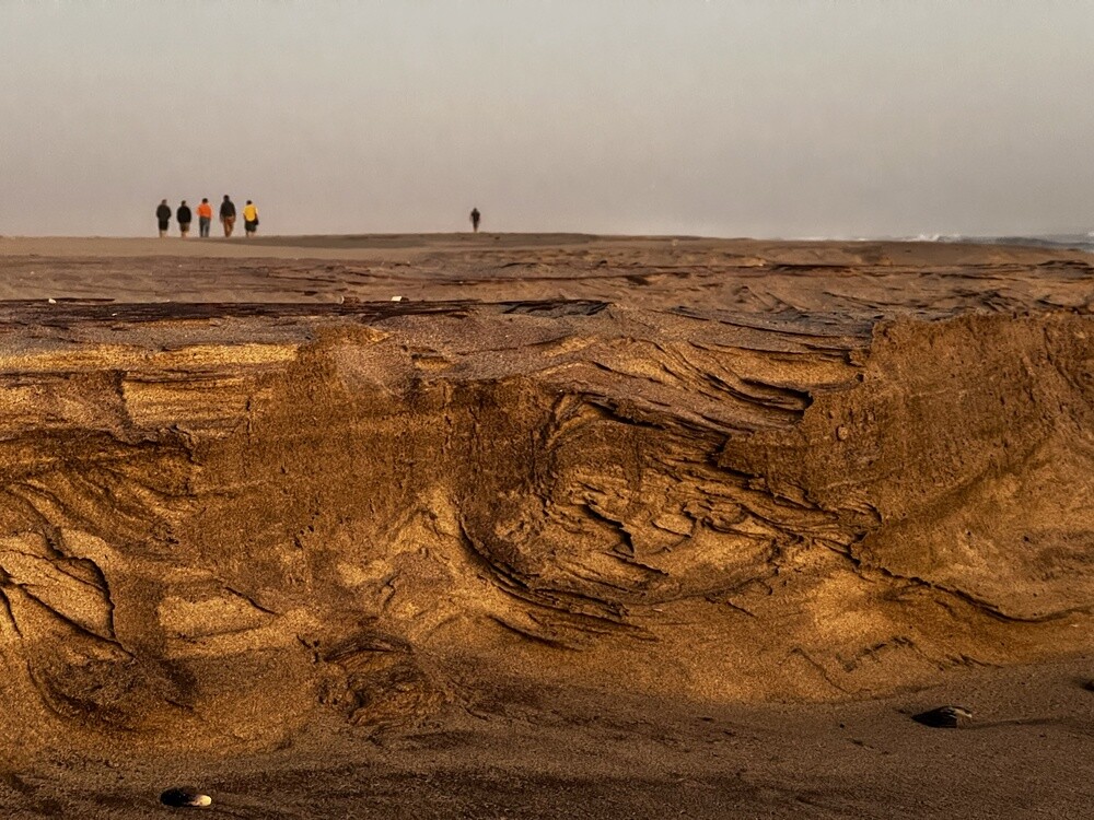
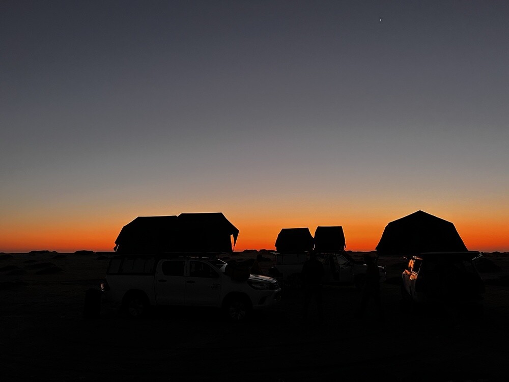
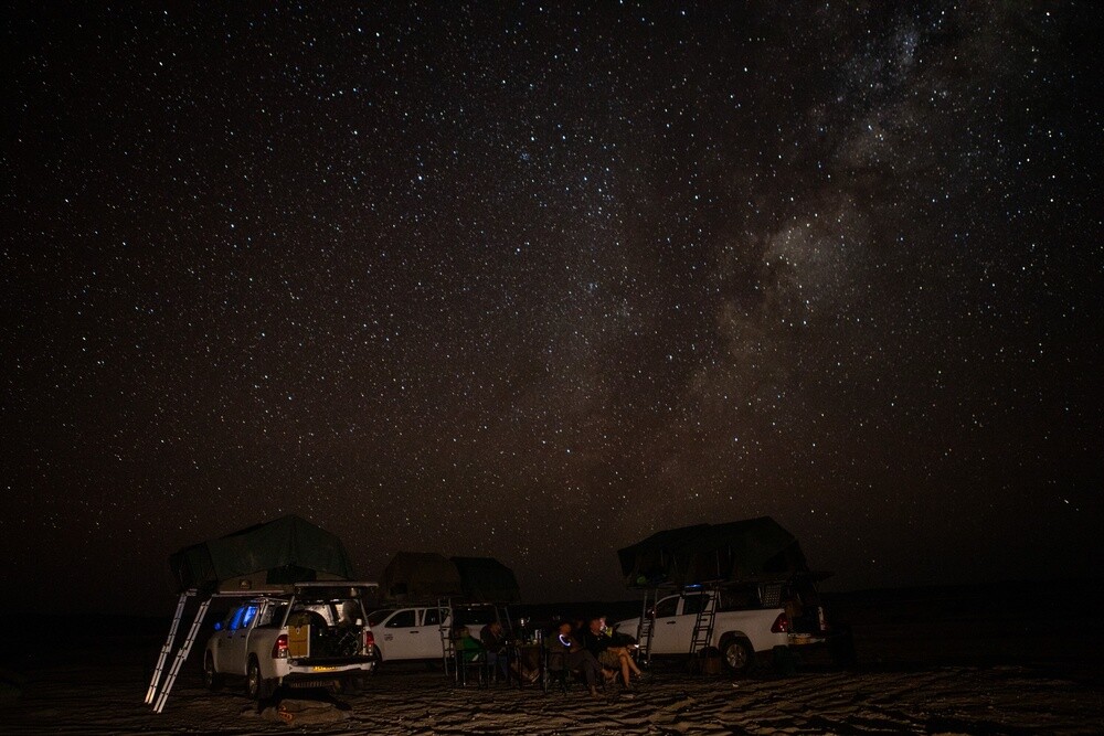
Towards evening we reached the Skeleton Coast, a spot called Mile 108. We dipped our hands in the ocean (it's seriously bloody cold), drove a bit away from the tide line and set up a wild camp. Every now and then there was a bone or a skull lying in the sand, but that didn't faze us. Sunset, group jumping shots, dinner and a sky full of stars. Mirek found the Southern Cross in an app.
Skeleton Coast
The coast north of Swakopmund got its name from whale bones and shipwrecks. The campsites along the C34 road are named after their distance from Swakopmund in miles, Mile 108 is about 175 km to the north. The cold Benguela current creates frequent fogs over the desert here.
Friday 07.07.2023, Mile 108, Winston wreck, Cape Cross, Henties Bay
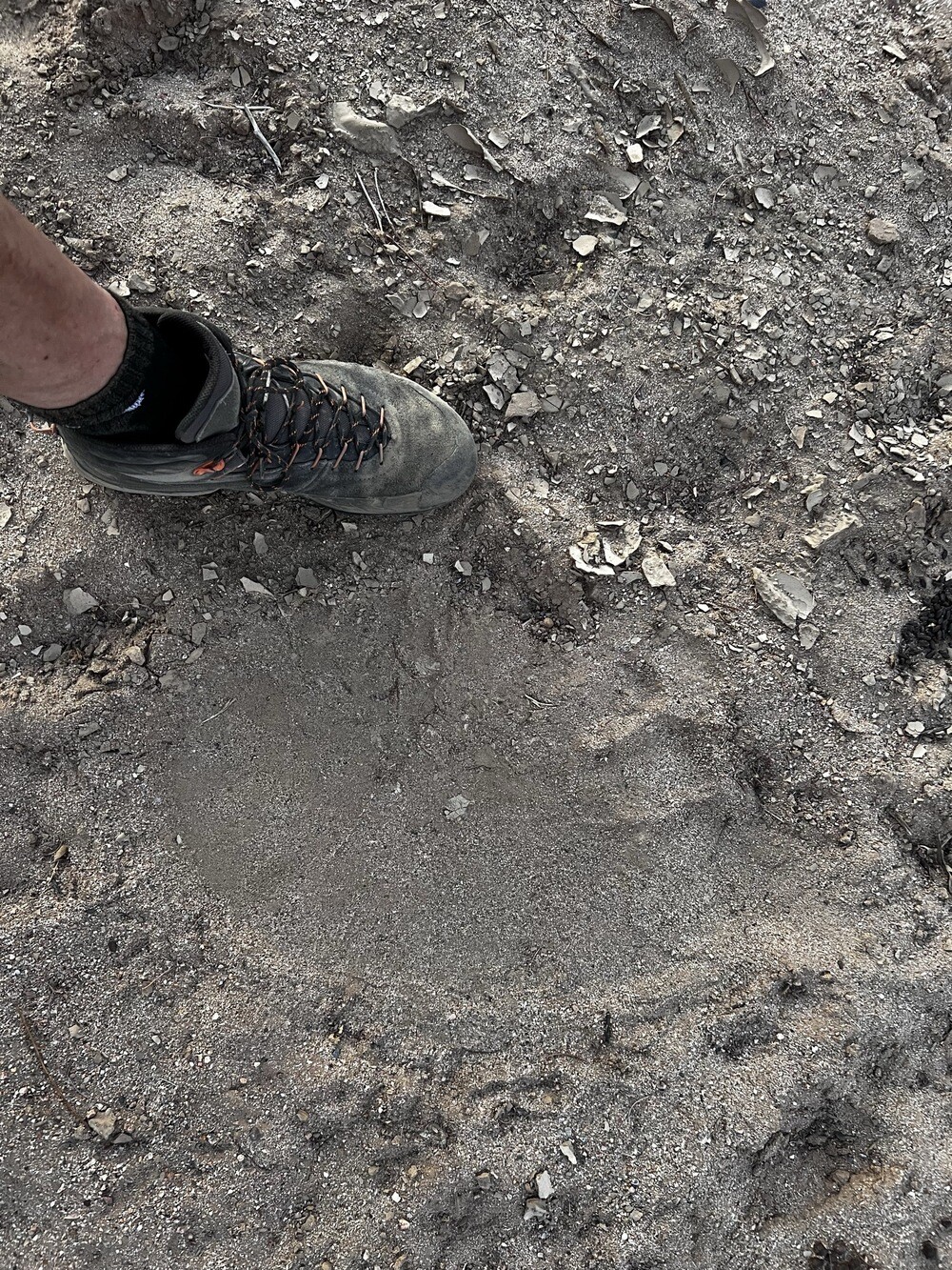
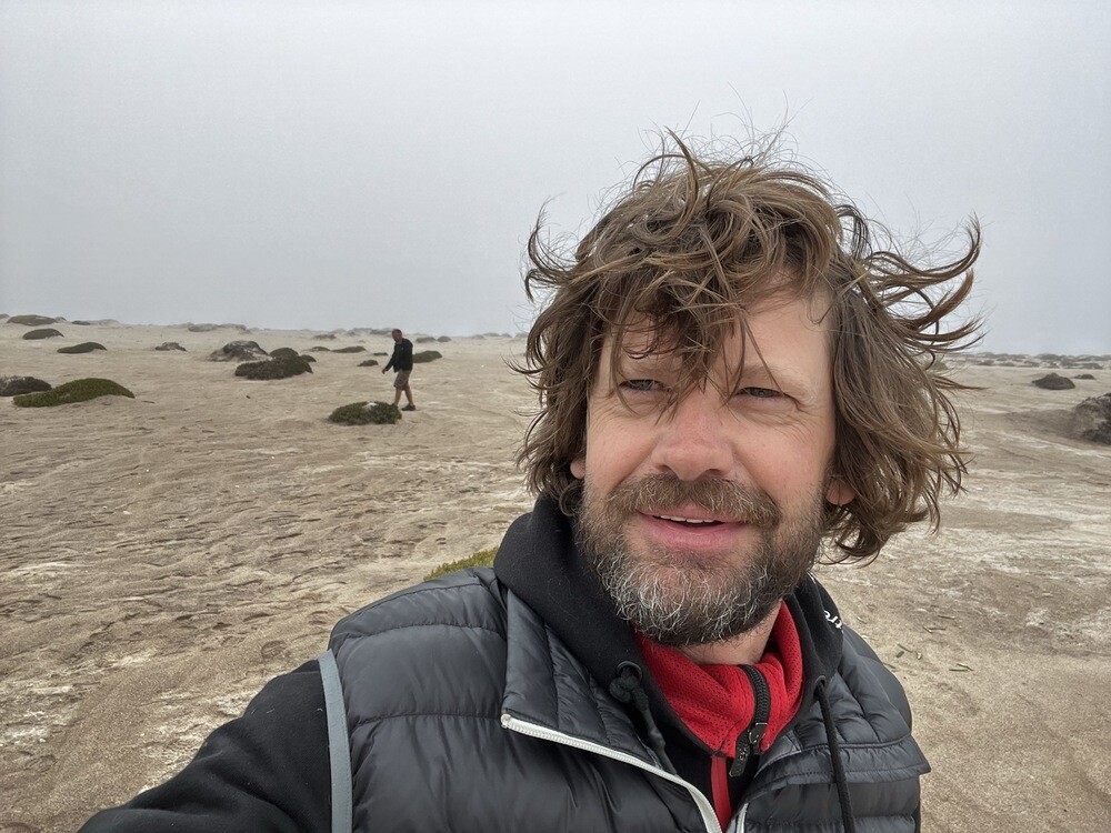
During the night the wind howled so hard it sounded like someone was pounding on the tent. In the morning fog, cold and everything soaked with damp, sleeping bags included. And fresh tracks in the sand around the cars: the smaller ones probably a hyena, the bigger ones most likely a desert lion. Mirek went for a pee towards morning and to this day he feels queasy imagining who might have been circling around him.
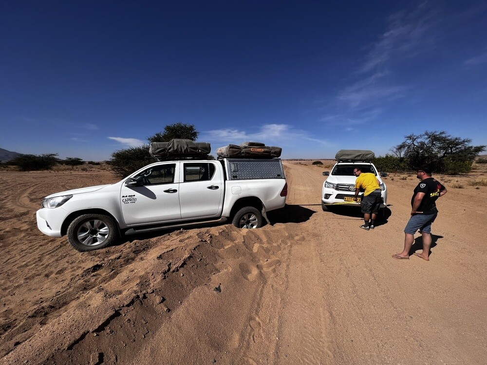
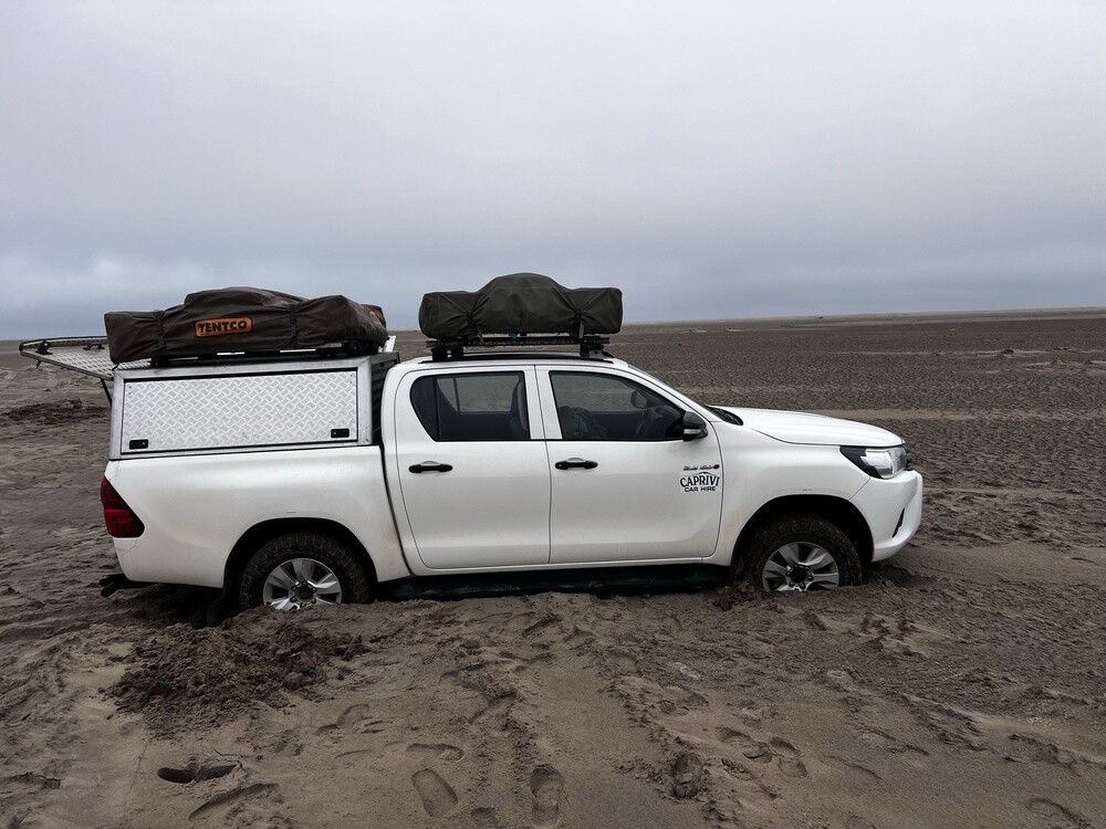
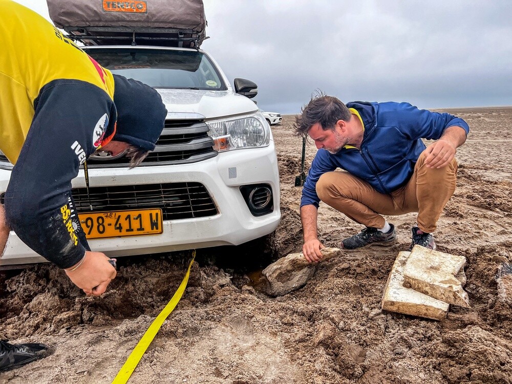
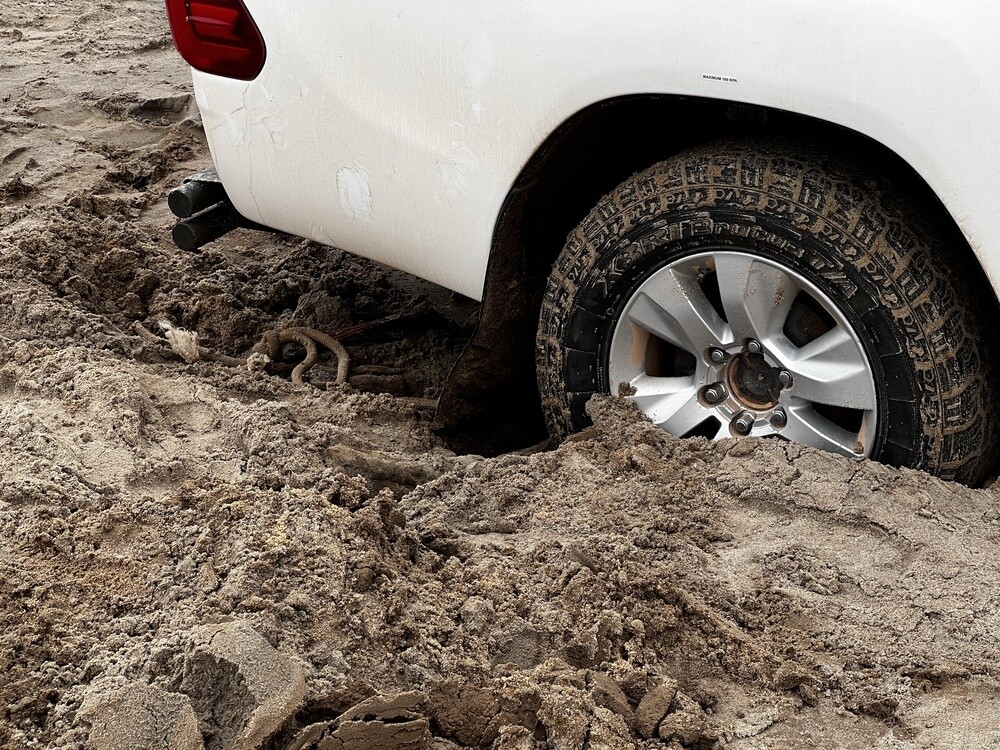
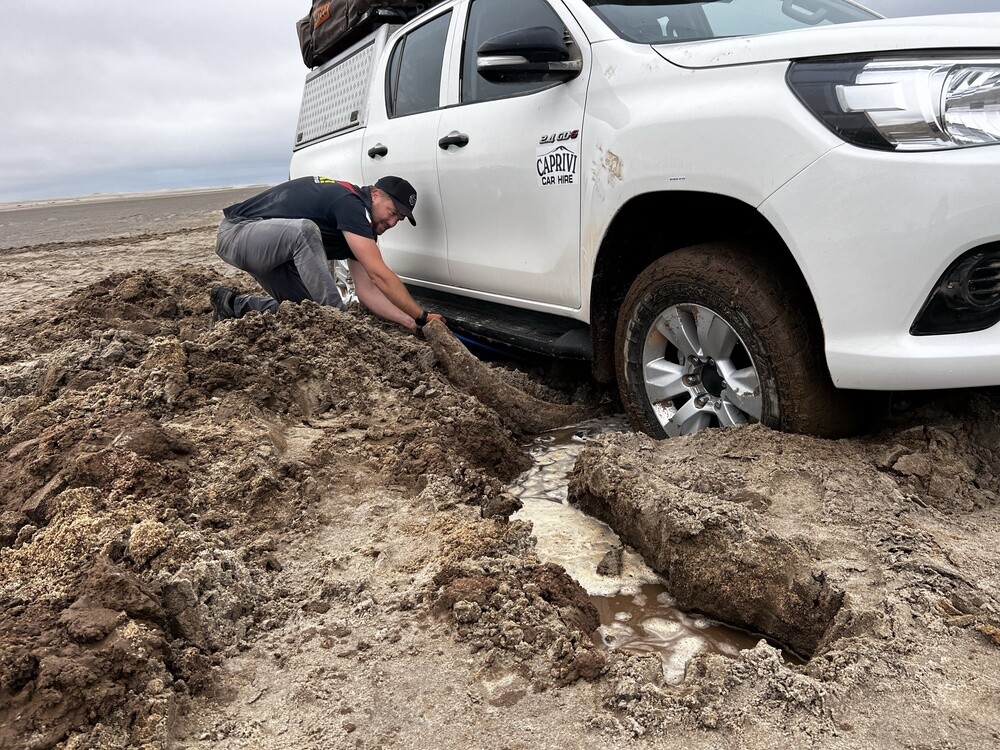
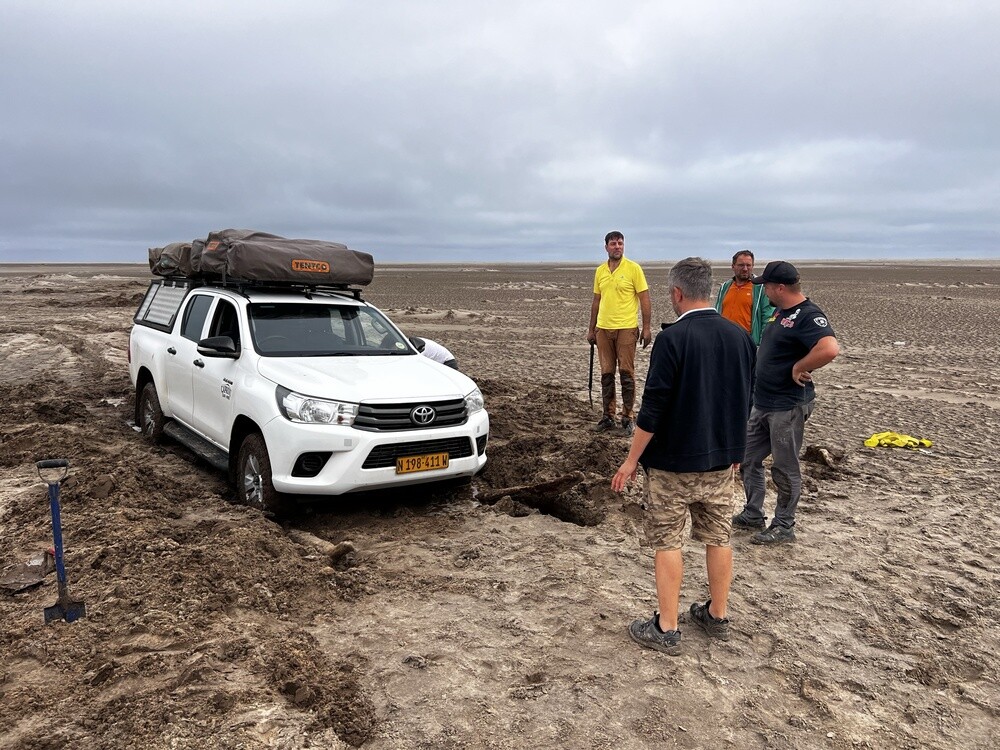
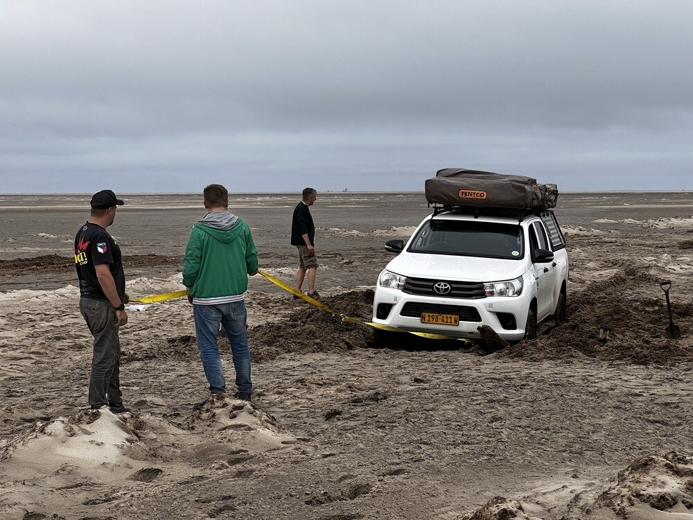
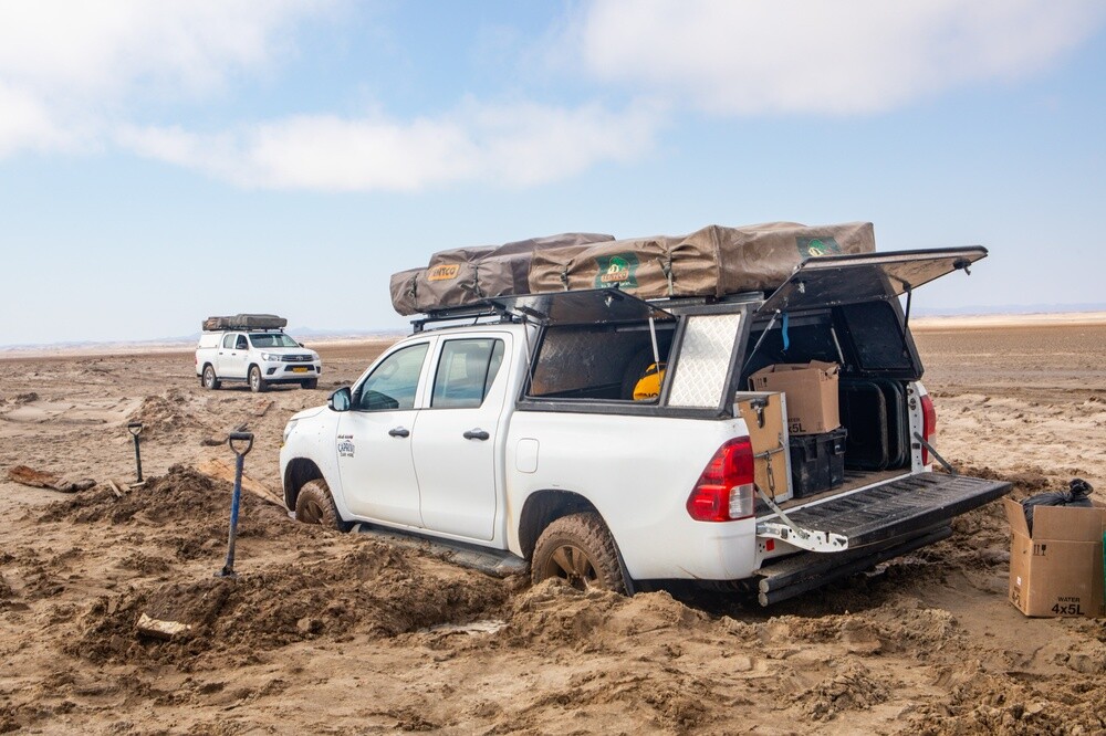
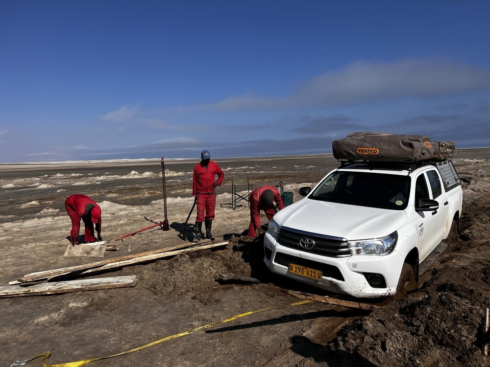
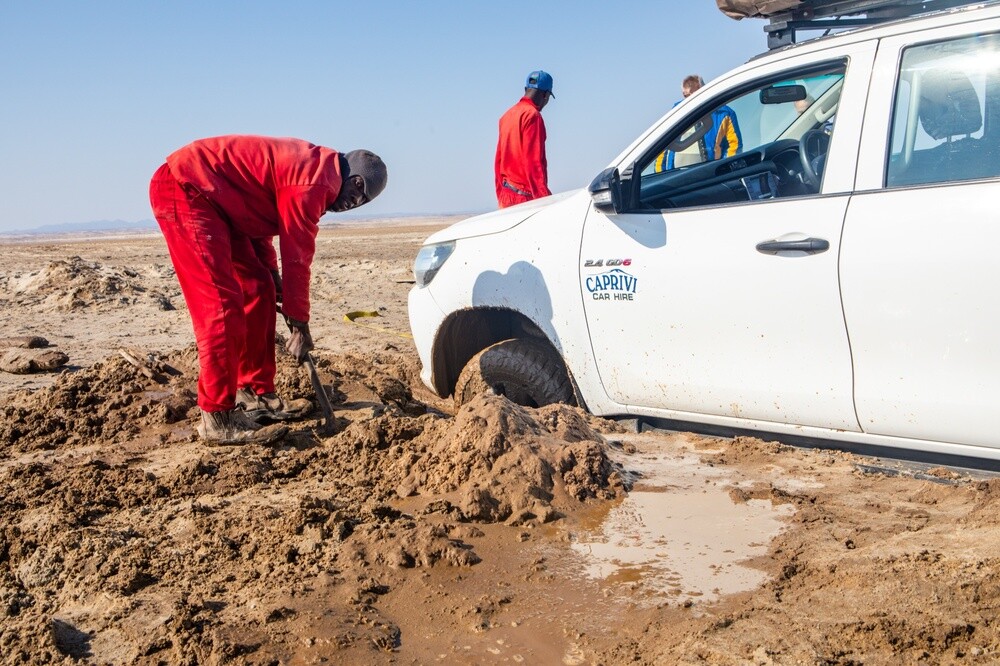
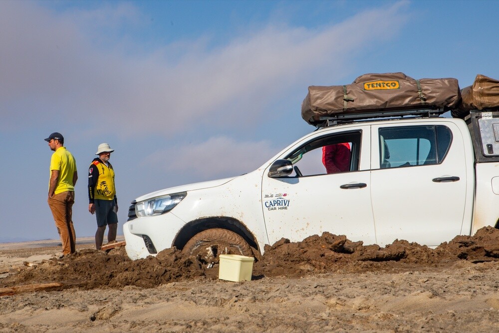
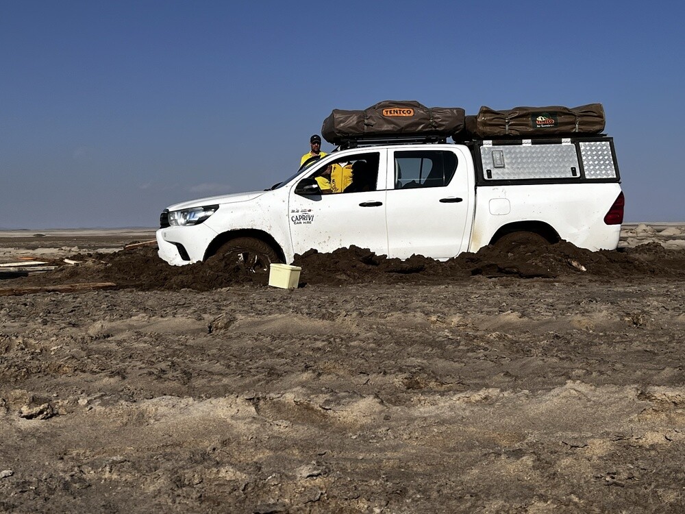
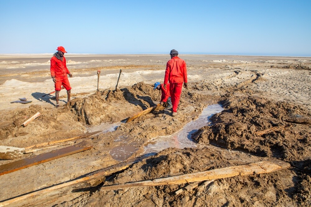
Then we drove north to the Winston wreck. The sign warns you: get off the road and engage 4x4. It went fine for a long time, then all of a sudden Mirek's car got bogged down and the second one right behind it, only the third managed to stop. We dig, and the more we dig, the more water there is and instead of getting out the cars sink deeper into the gooey mix of mud and sand. After a couple of hours we got Mirek's out, but Tomík's was lying on its belly and wouldn't budge an inch. The tow ropes snapped while we were pulling too. In the end the lads drove to the nearest camp for help and a bunch of guys in red overalls with proper jacks sorted it out. Six or seven hours in the mud altogether! Meanwhile Mirek and Jonáš walked to the Winston wreck, not much of it is left after those 50 years.
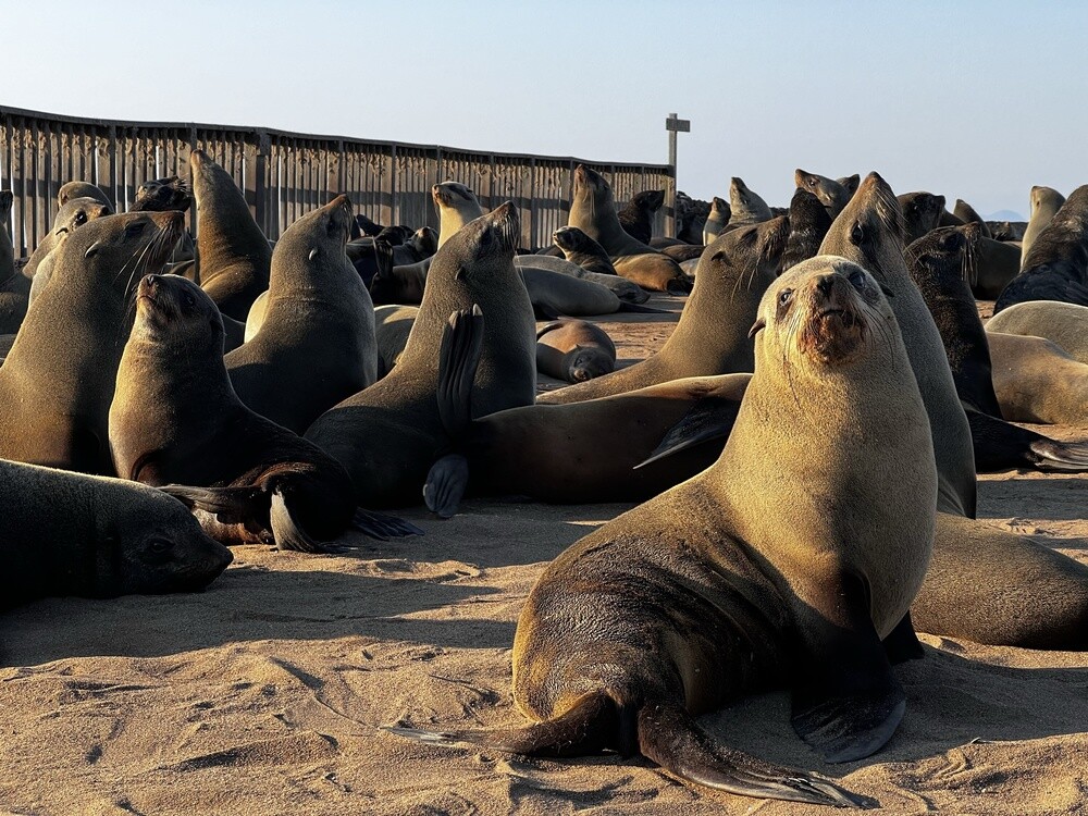
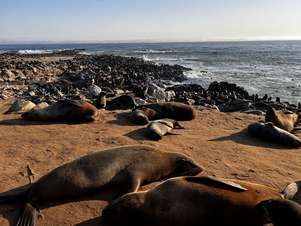
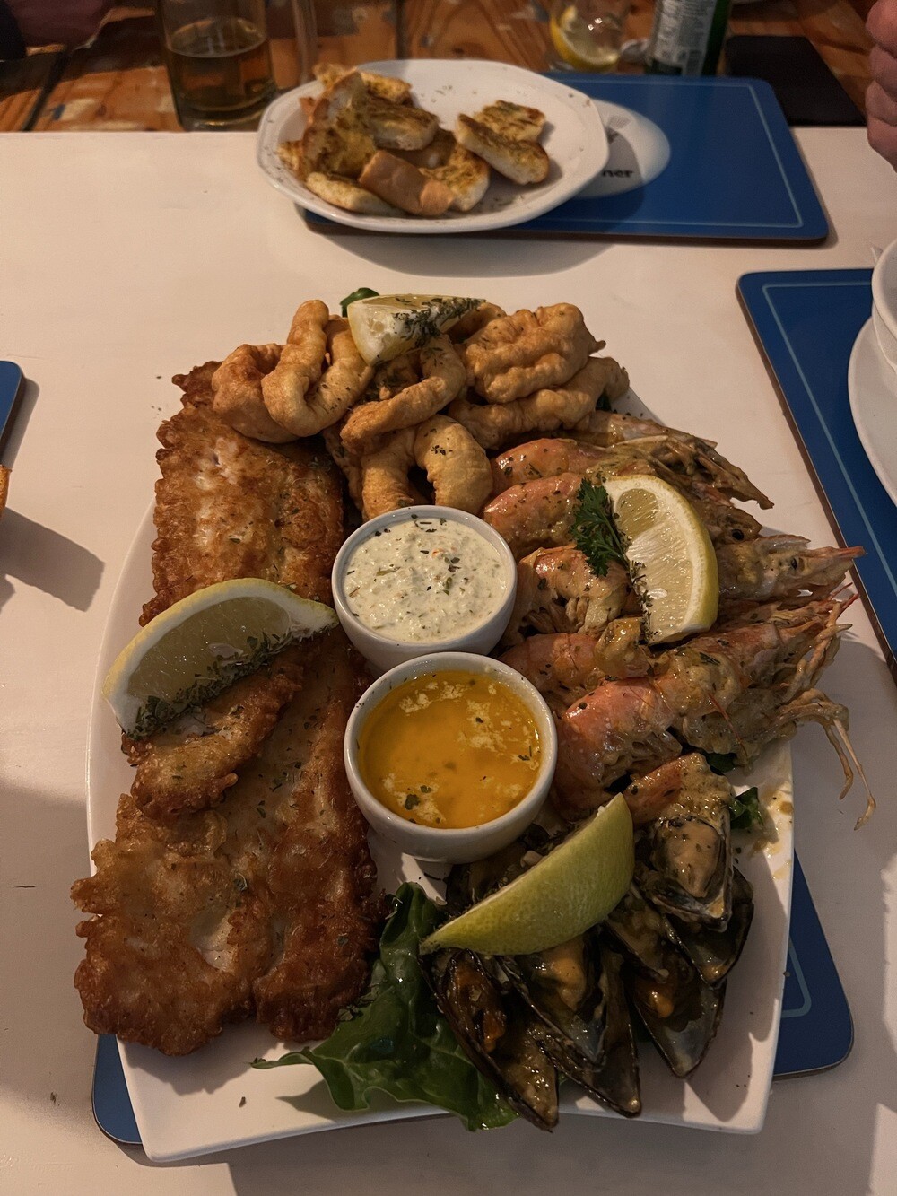
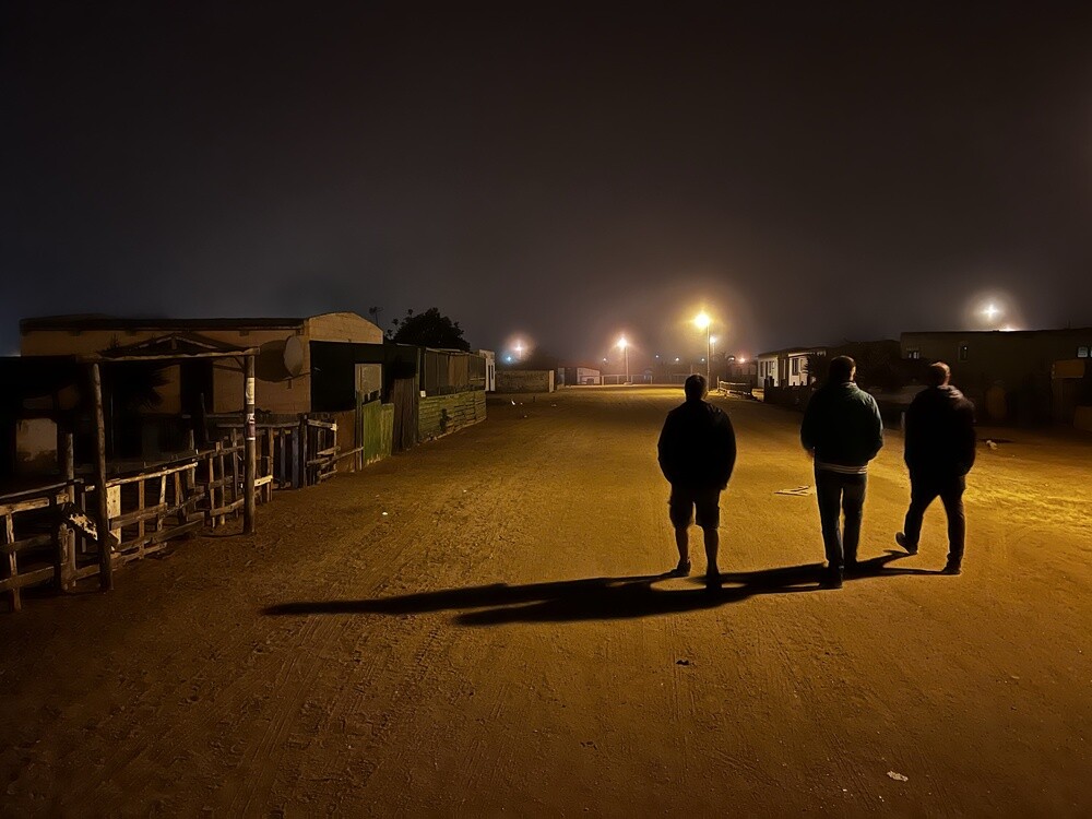
Despite the lost day we still managed the seal colony at Cape Cross (an awful stink, but worth it) and completely wrecked we arrived in Henties Bay. An excellent seafood dinner and then the local pub, where they hand you the beer through bars. And it's called Blitzkrieg. Seriously.
The Winston wreck
The fishing boat Winston ran aground on the Skeleton Coast in 1970. All that's left of the wreck today is a few rusty chunks of iron in the surf, and the way there leads across sand where you can easily get stuck.
Cape Cross
In 1486 the Portuguese navigator Diogo Cão erected a stone cross here, a padrão, as a sign of Portuguese claim. Today there's a replica of it and on the rocks lives one of the largest colonies of Cape fur seals, tens of thousands of animals in season.
Henties Bay
This fishing and holiday town at the mouth of the Omaruru River is named after Hendrik „Hentie“ van der Merwe, who came here to fish from 1929 on.
Saturday 08.07.2023, Henties Bay, Swakopmund
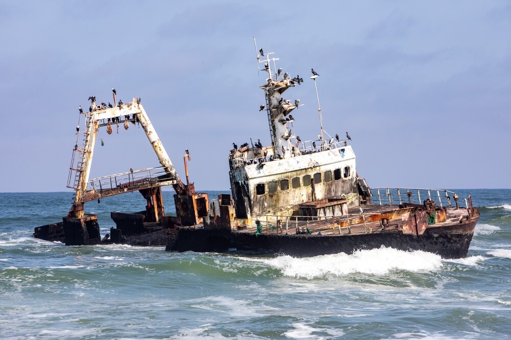
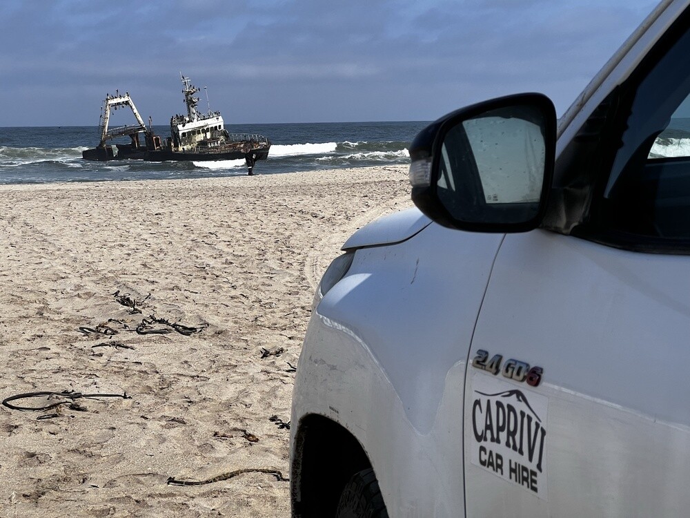
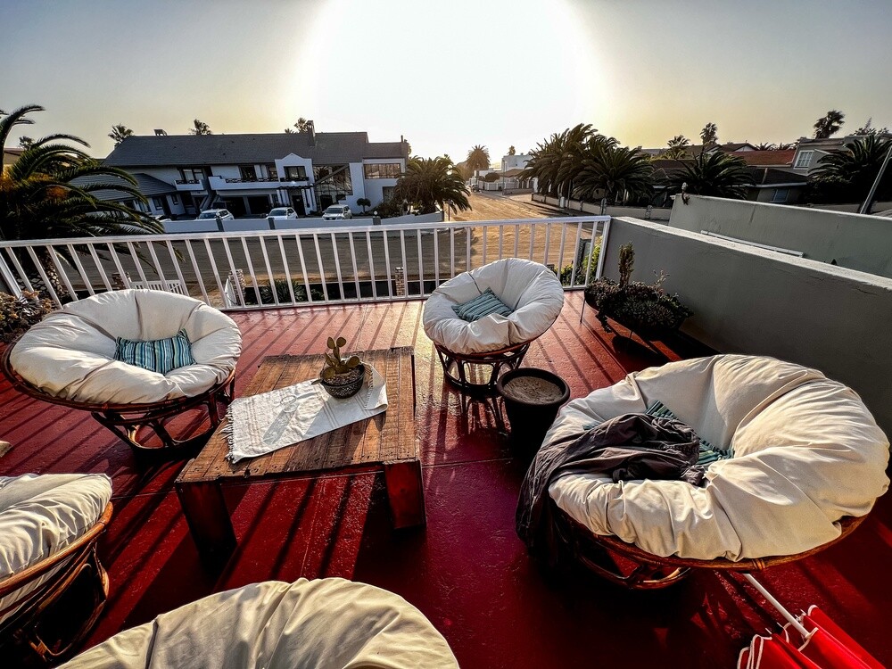
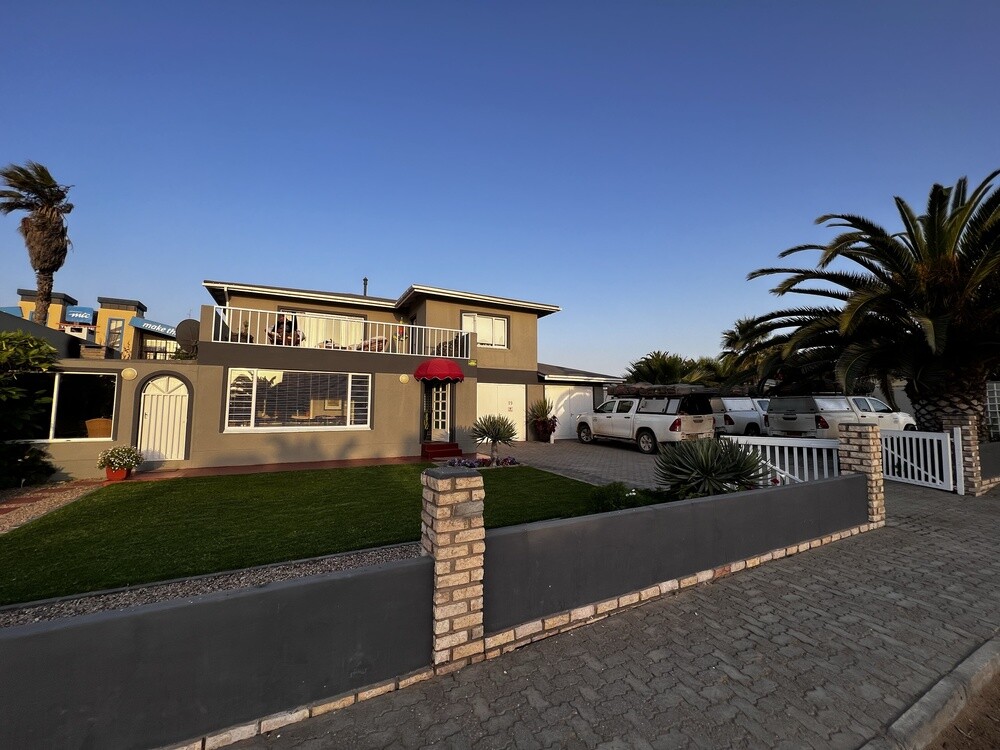
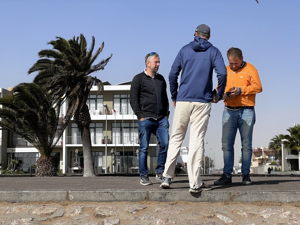
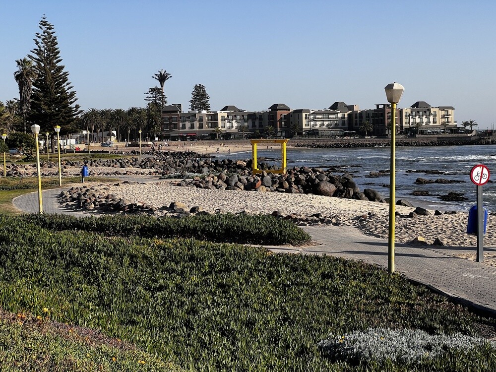
In the morning, heading south, the wreck of the fishing boat Zeila, which ran aground here in 2008 and still looks almost like a ship. Then Swakopmund, where we have a house in the third row from the beach for three nights, for all nine of us. After a week in tents, beds, a shower and a washing machine!
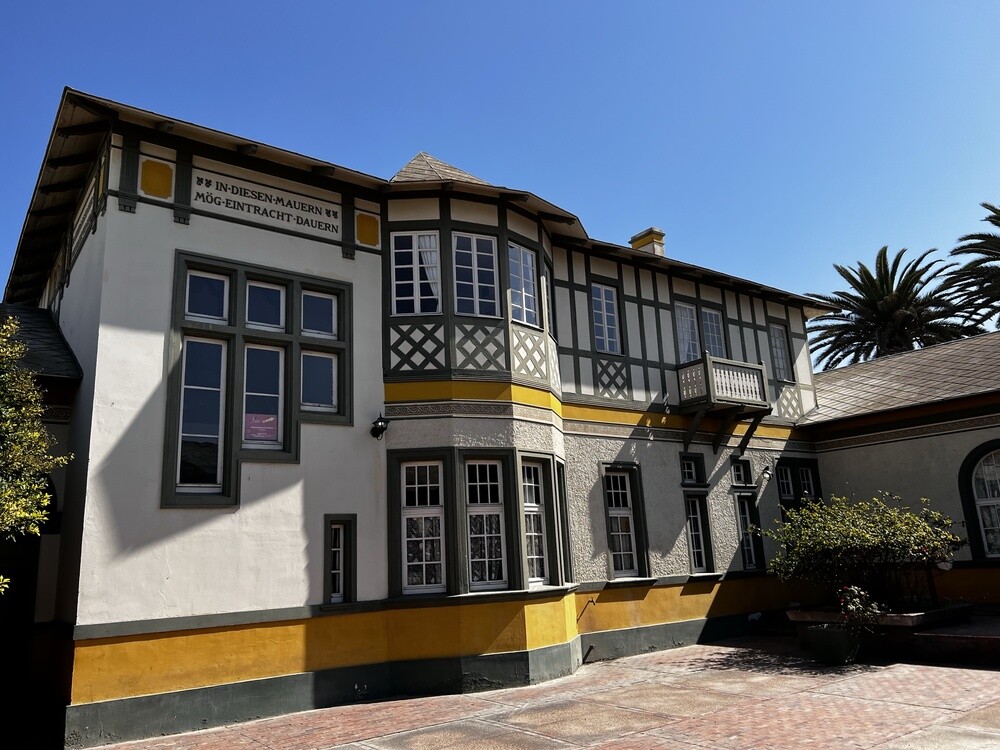
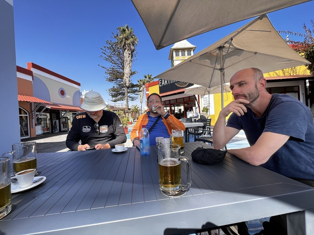
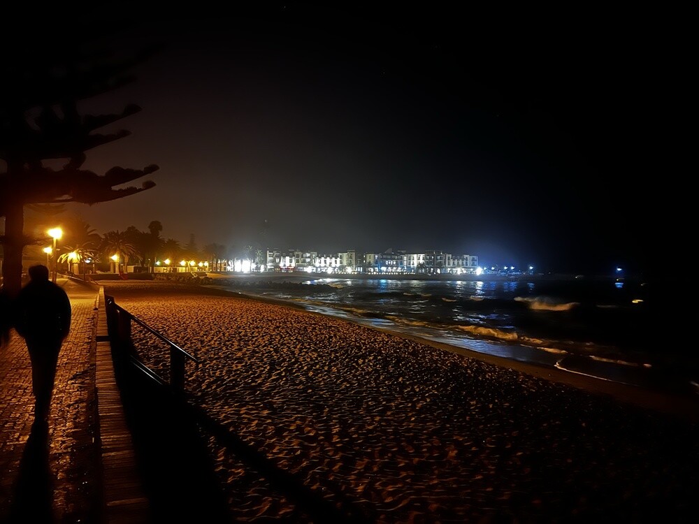
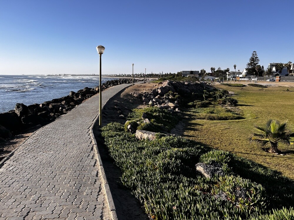
Mirek says he didn't feel like he was in Africa at all here: colonial houses as if from Bavaria, clean and safe everywhere. But it's cold, chilly during the day and properly cold in the evening and at night. That's the Benguela Current again. We do the laundry, wash the cars, dry the tents and in the evening we go for a walk along the beach.
The Zeila wreck
In August 2008 the fishing boat Zeila broke loose from its tow and ran onto a sandbank not far from Henties Bay. It has stayed there close to the shore and cormorants perch on it.
Swakopmund
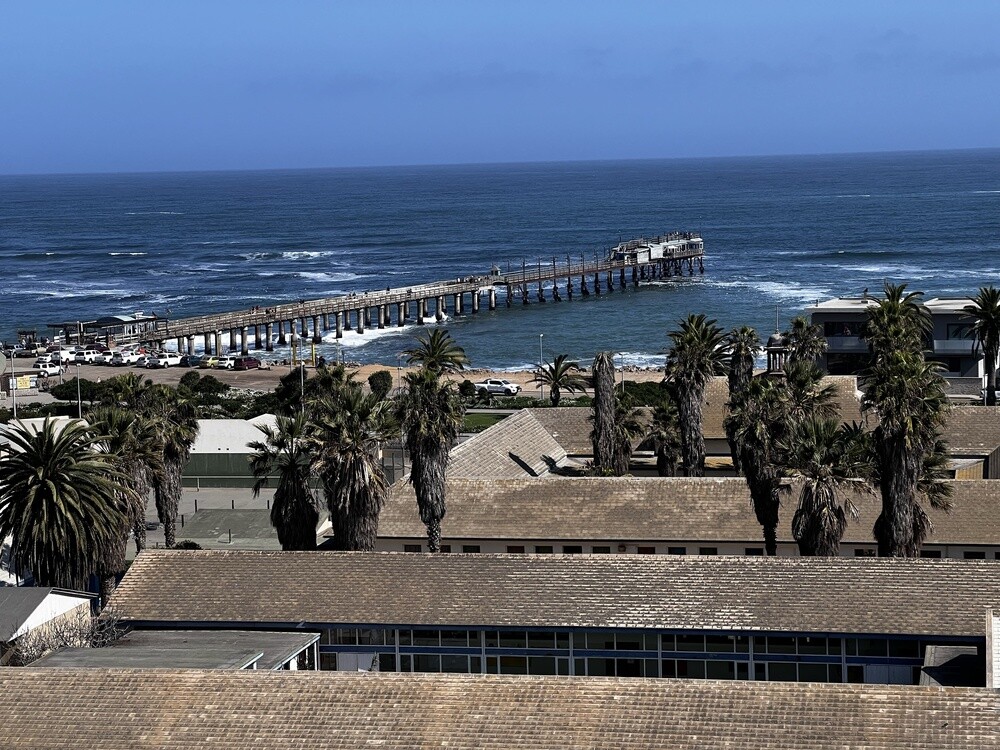
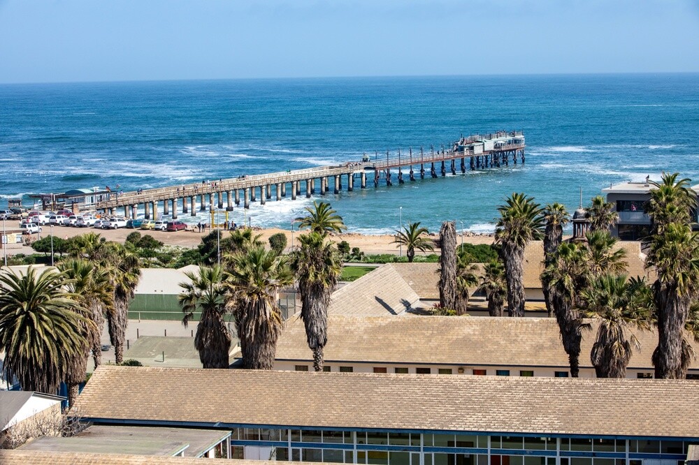
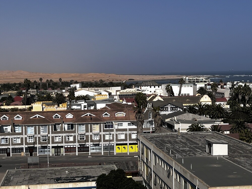
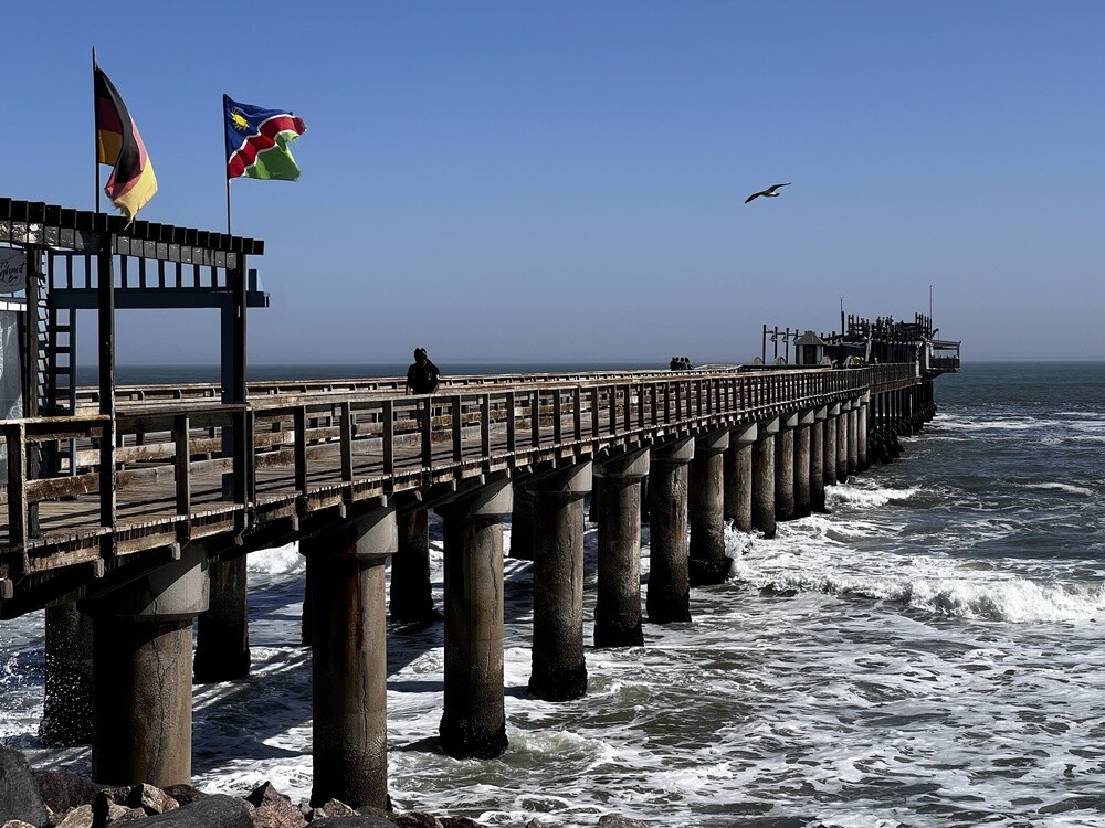
The town was founded by the Germans in 1892 as the port of their colony, because Walvis Bay belonged to the British. A number of colonial buildings remain, such as the Woermannhaus or the lighthouse from 1902, and some of the inhabitants still speak German. The steel jetty built for unloading ships serves as a viewpoint.
Sunday 09.07.2023, Swakopmund, Walvis Bay
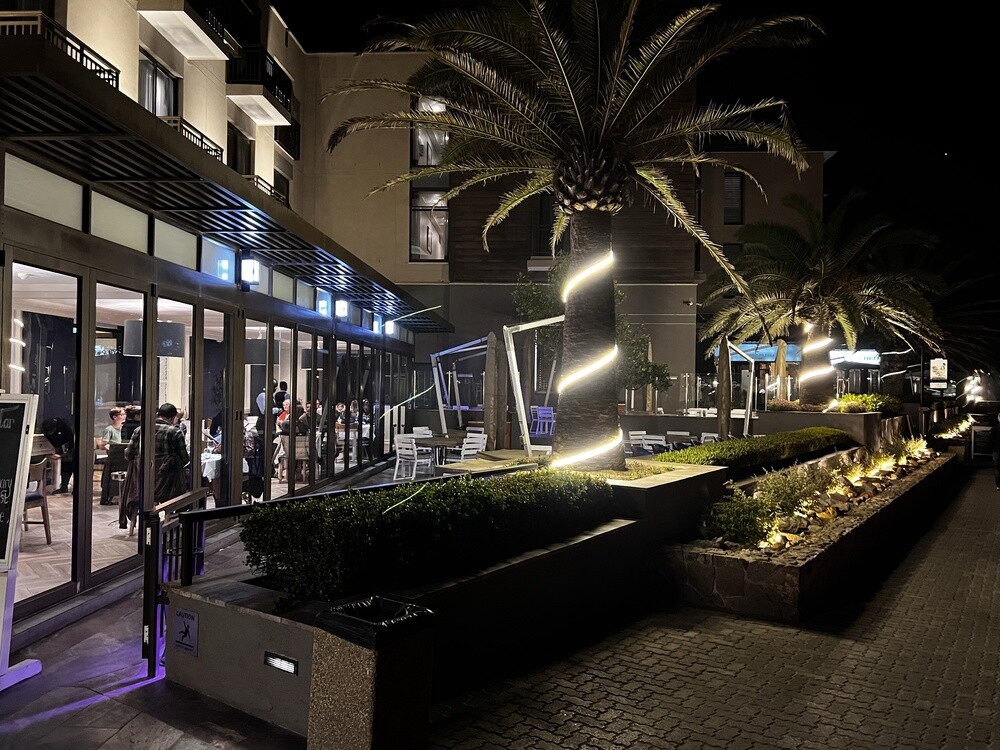
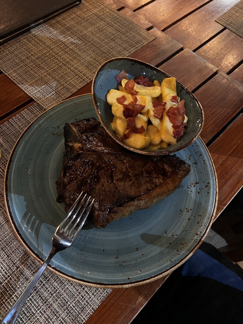
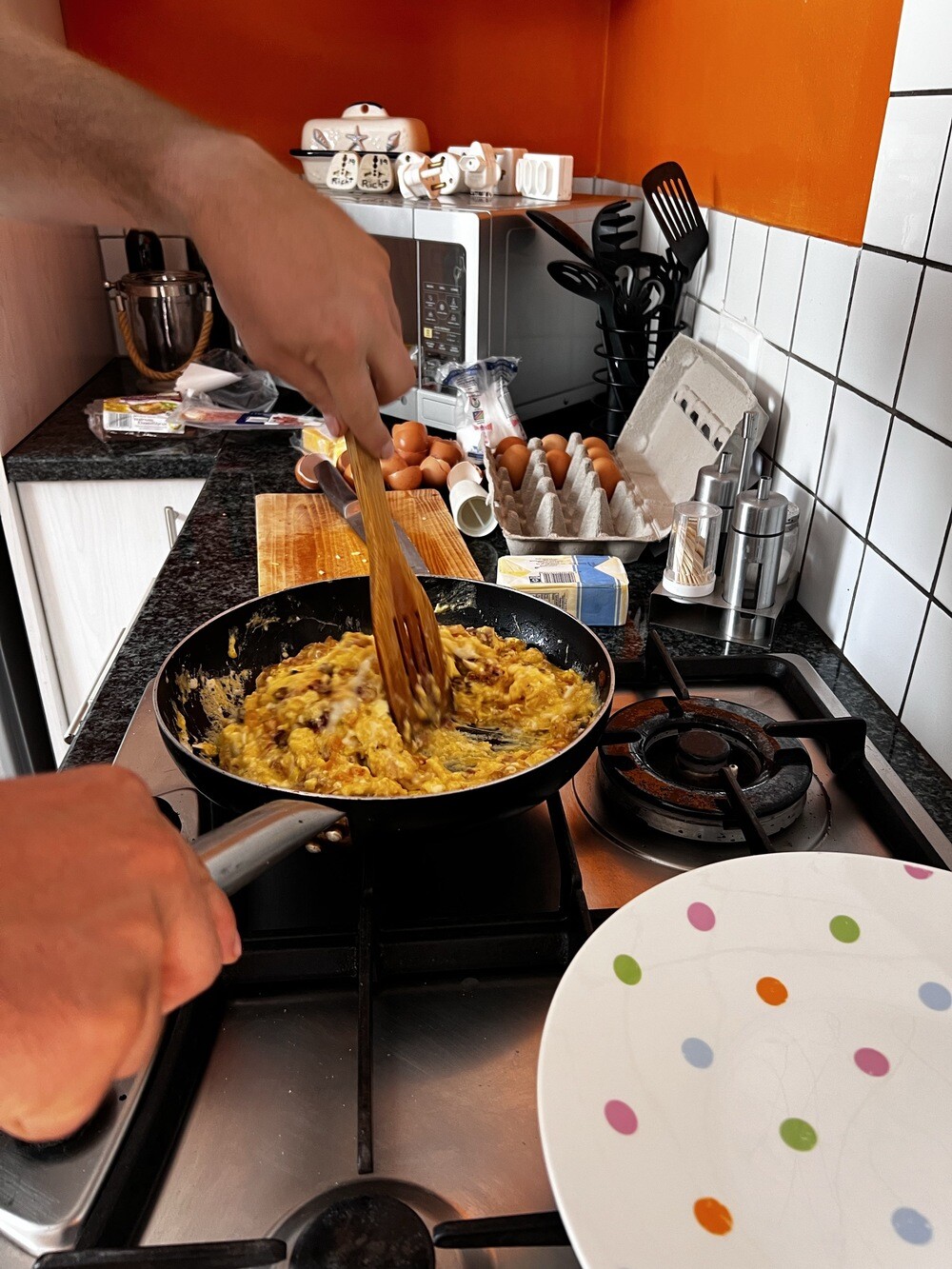
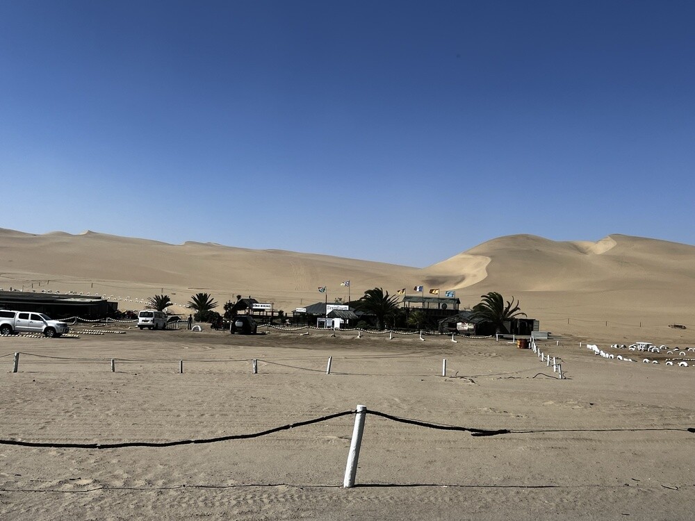
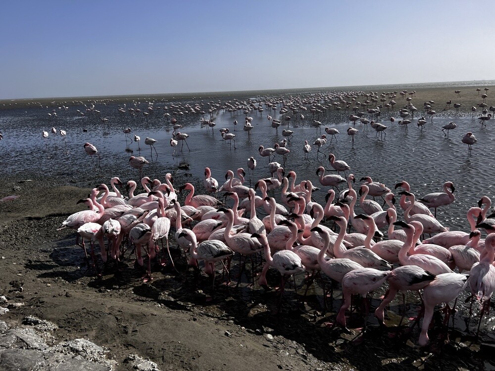
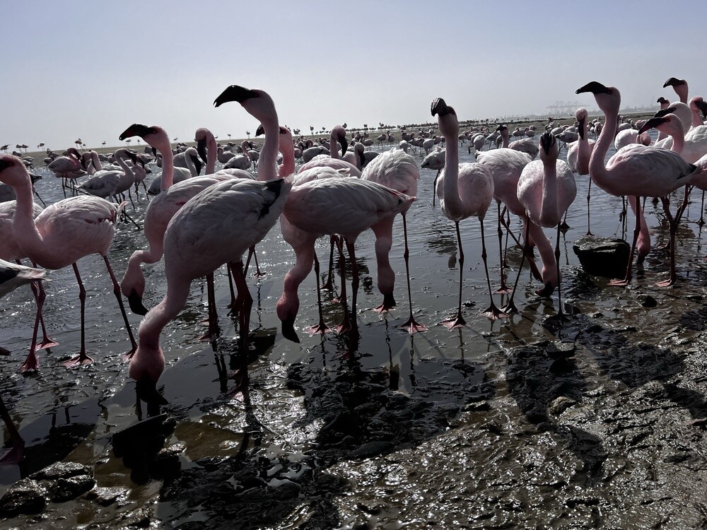
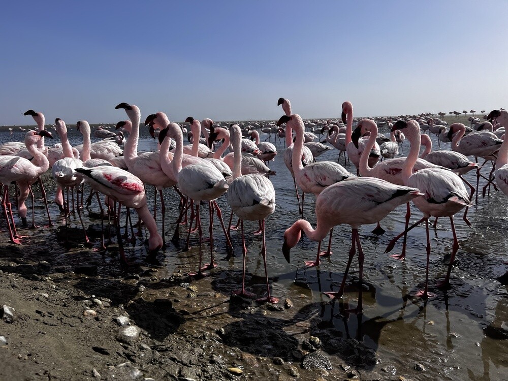
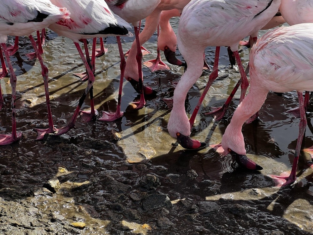
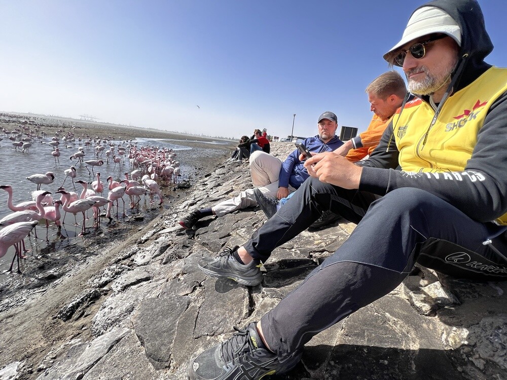
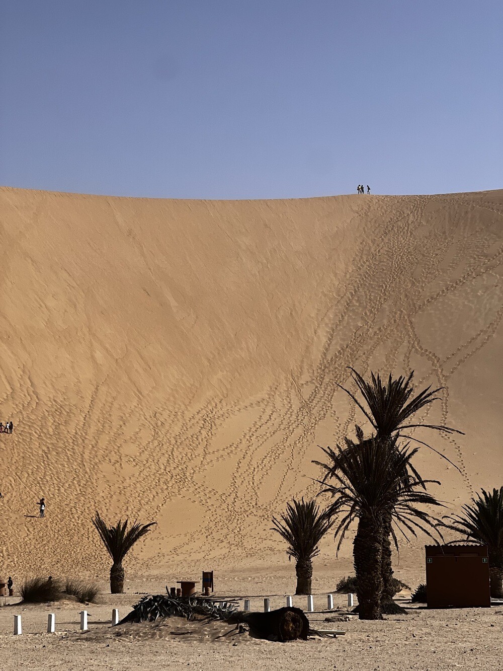
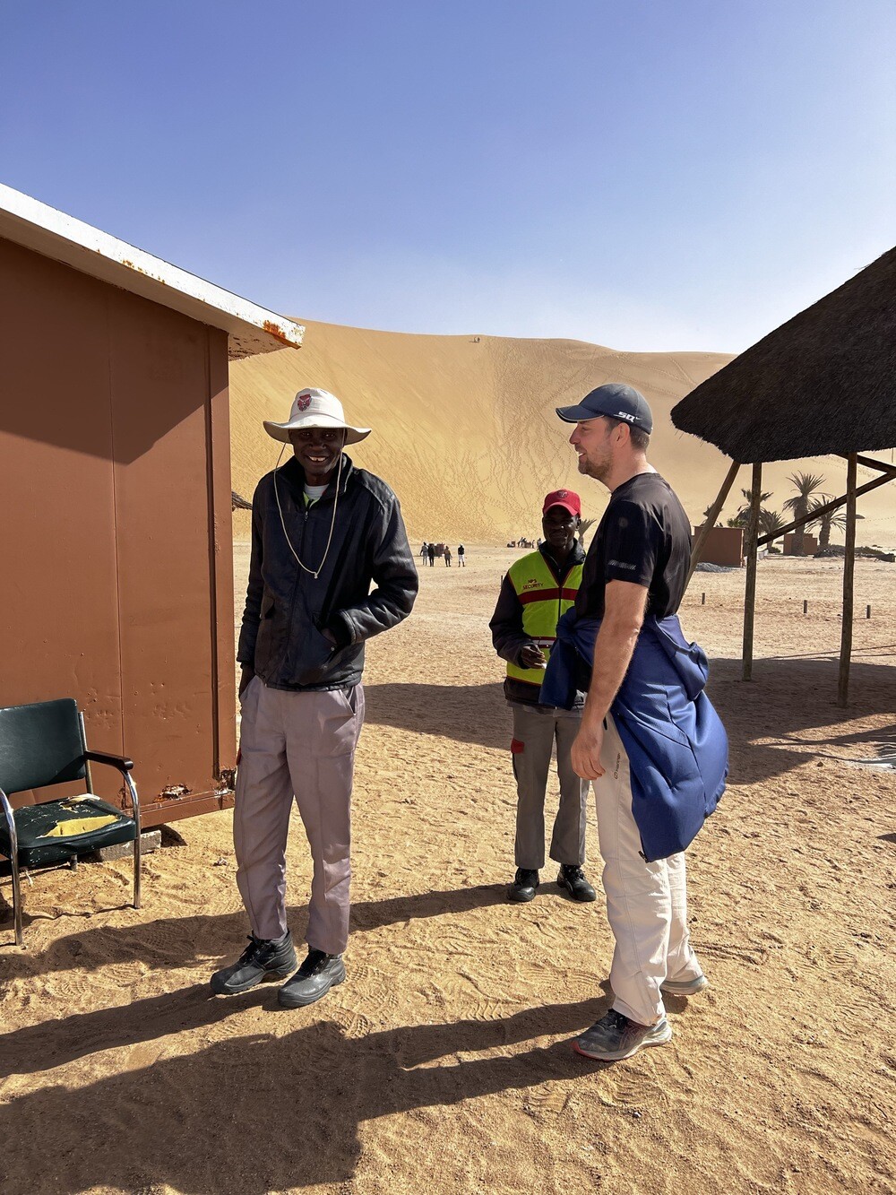
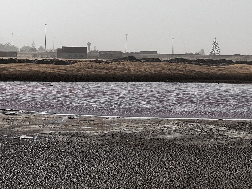
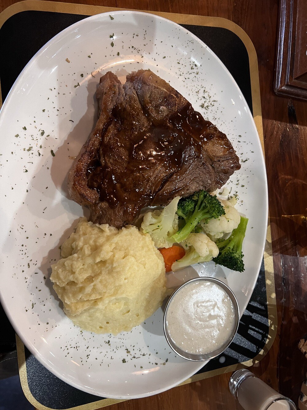
We cook breakfast in the house. In the afternoon we drive to Walvis Bay to see the flamingos, which you can photograph in the lagoon from almost a metre away. Then Dune 7 and steak in the evening.
Walvis Bay lagoon
Namibia's main port was seized by the British in 1878 and South Africa only handed it over to Namibia in 1994. The lagoon by the town is protected under the Ramsar Convention on Wetlands and in winter tens of thousands of flamingos live there.
Dune 7
A lone dune by the road from Walvis Bay inland, one of the highest around. It got its name from the numbering of the dunes during the construction of the road.
Monday 10.07.2023, Swakopmund
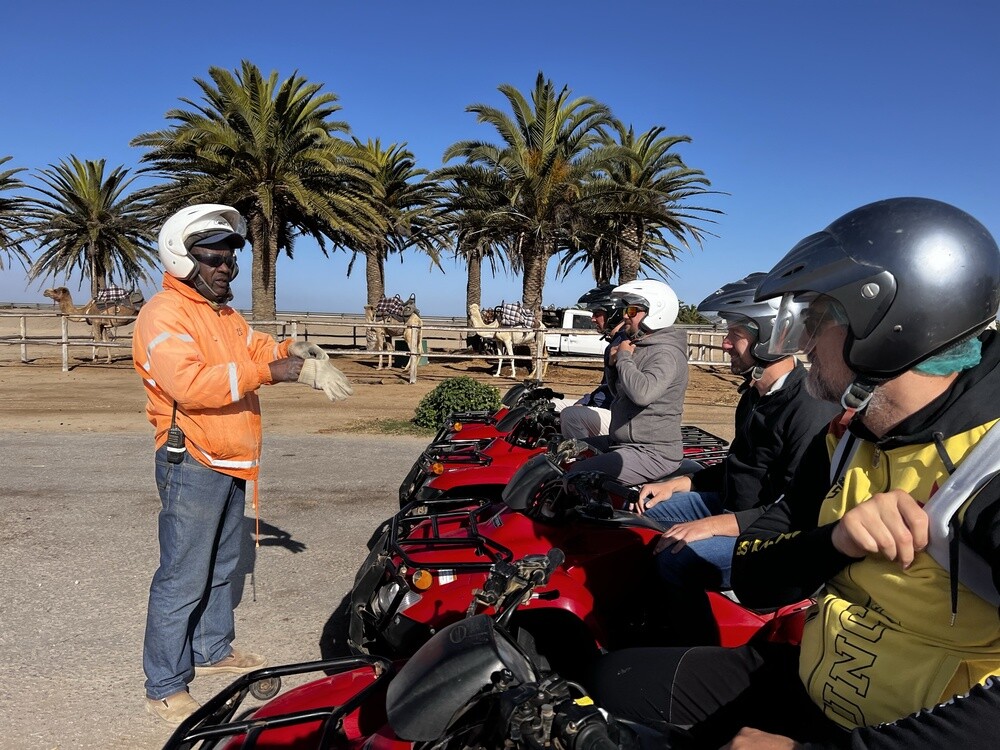
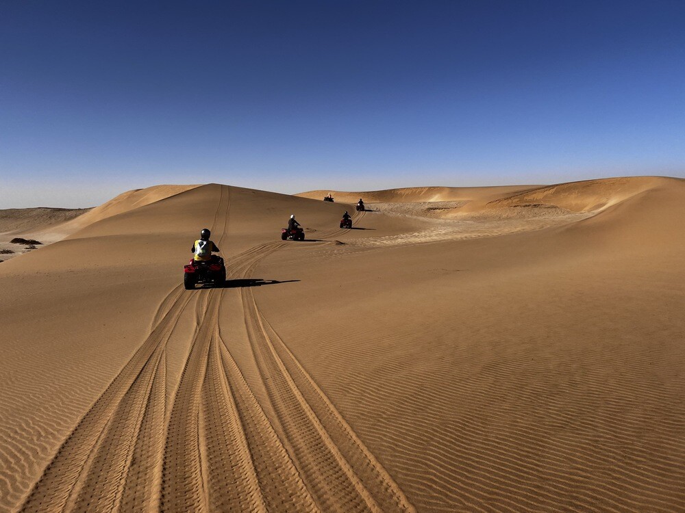
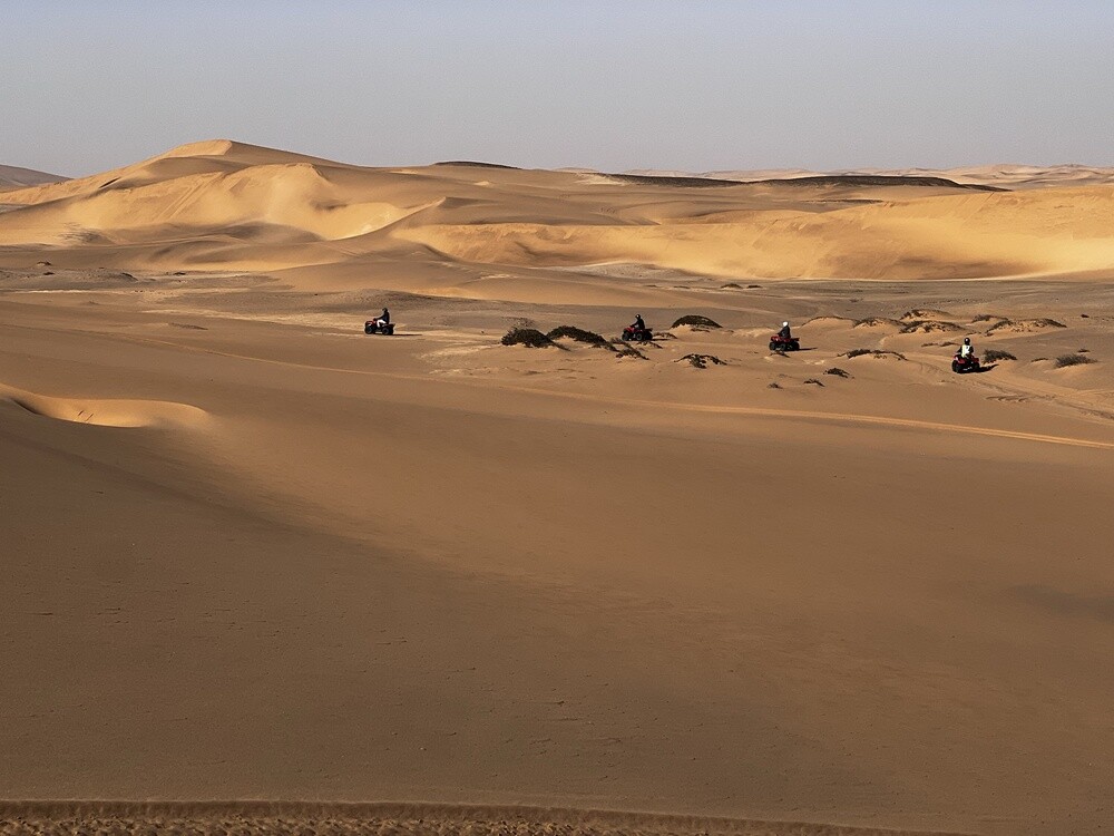
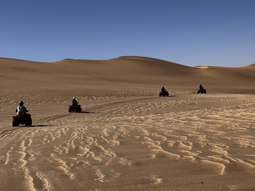
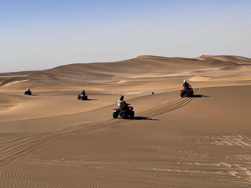
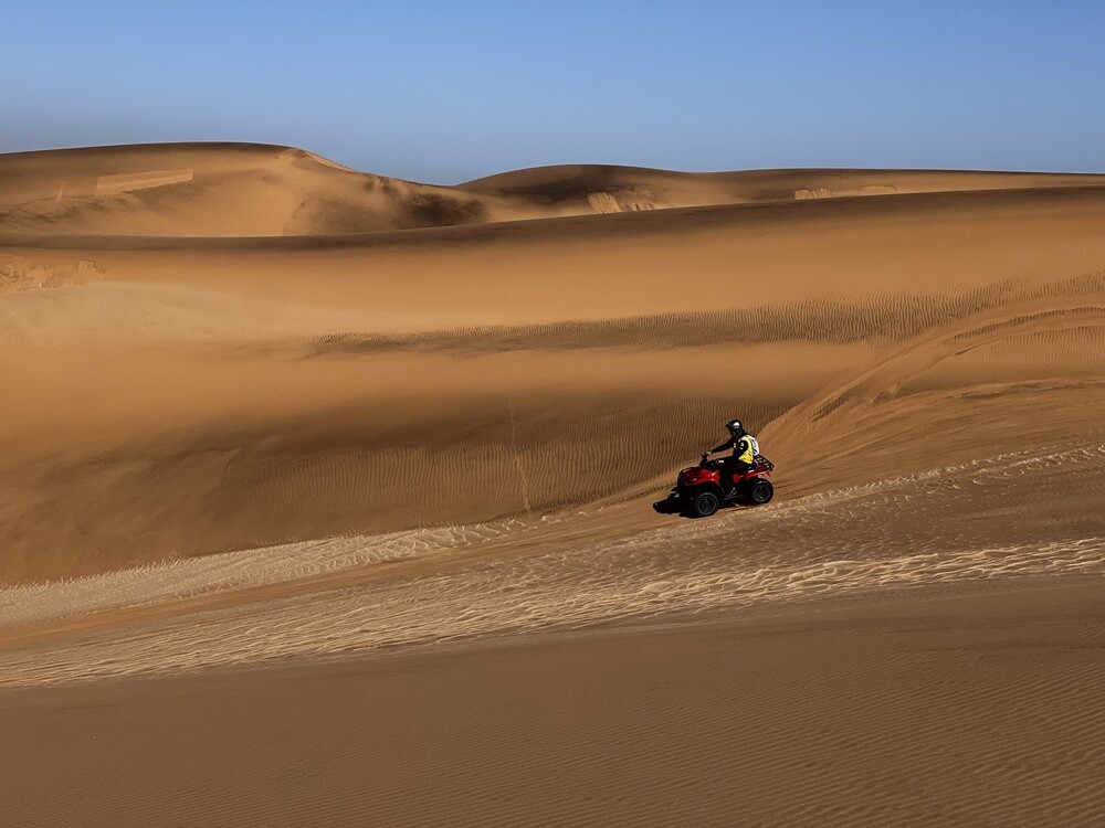
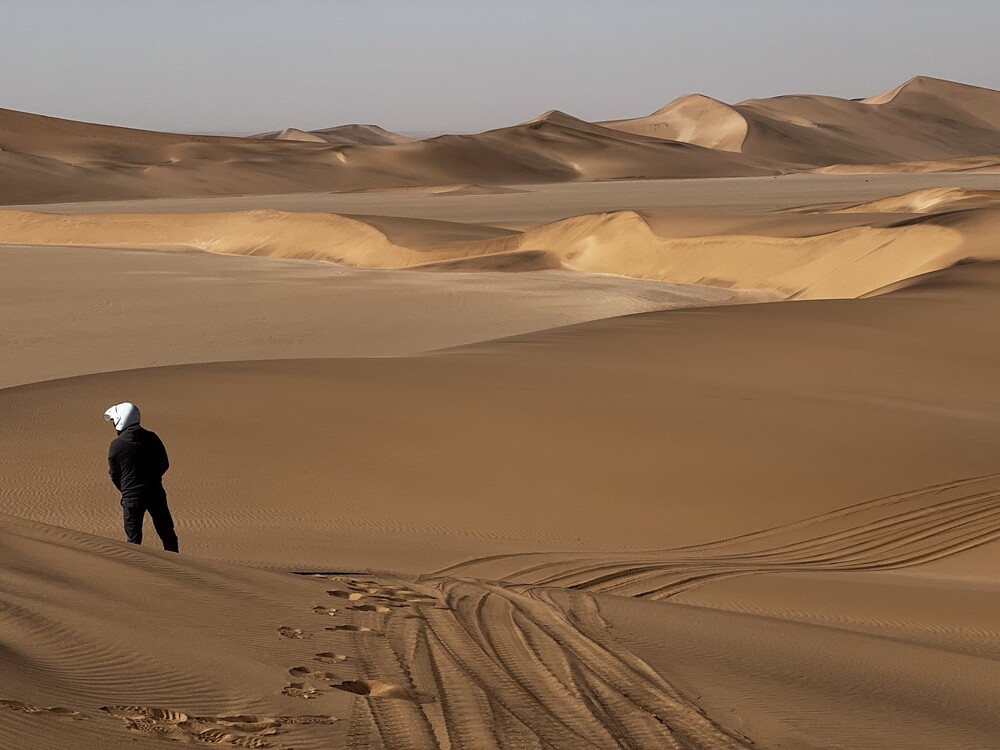
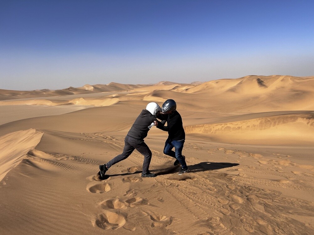
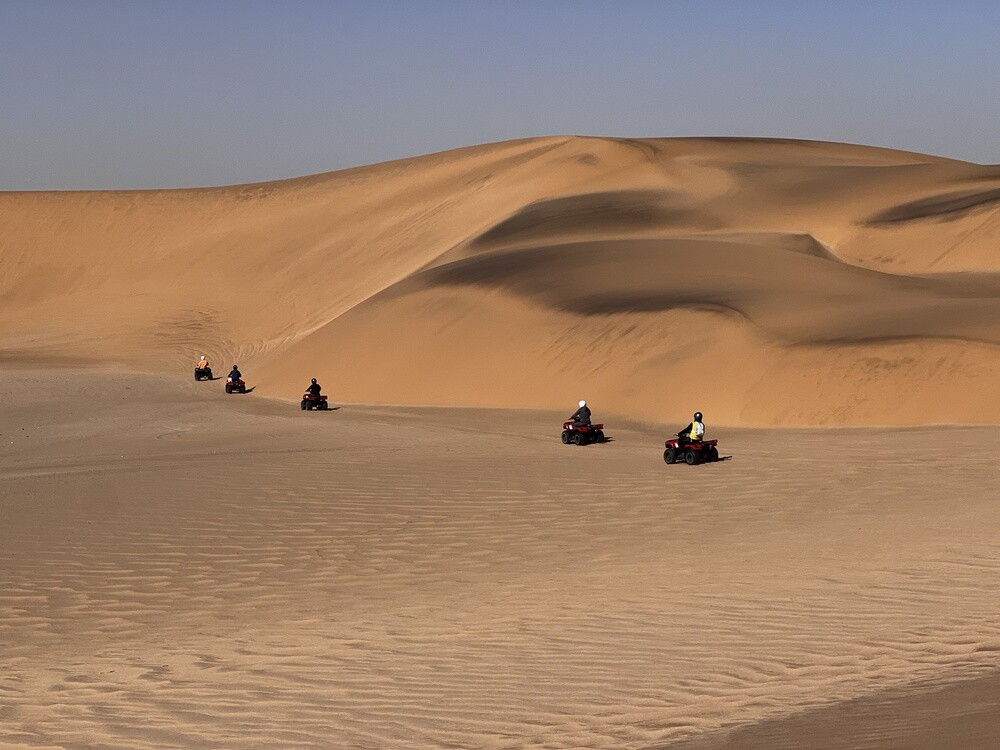
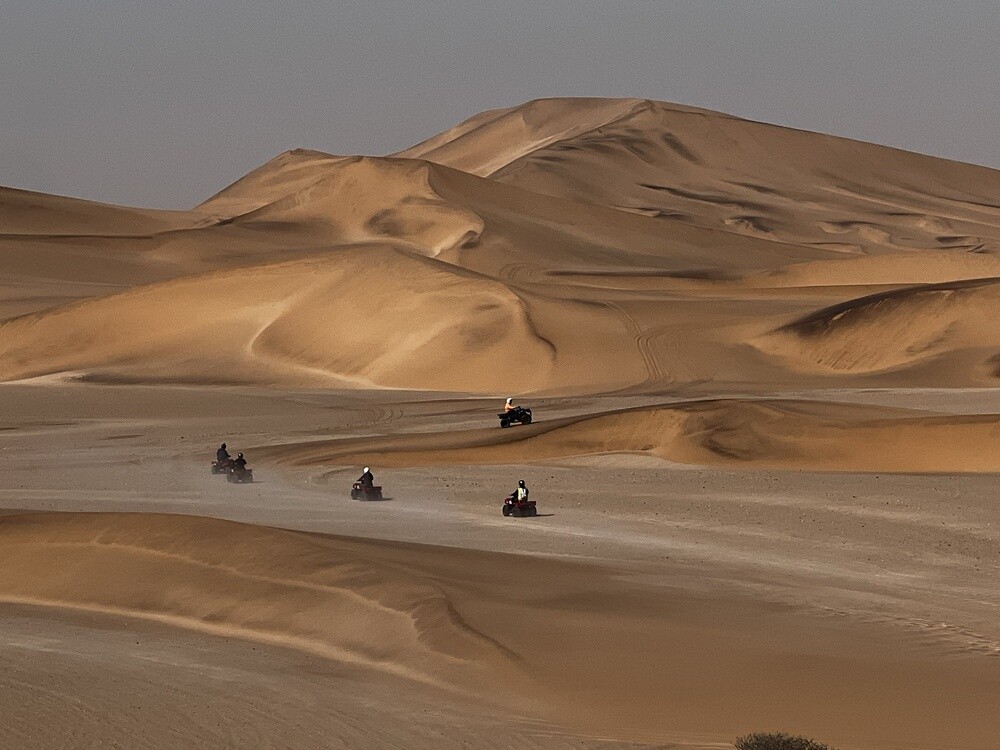
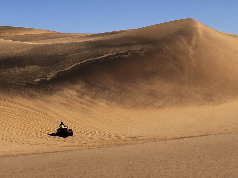
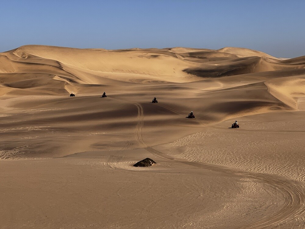
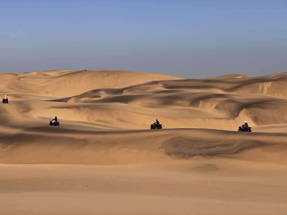
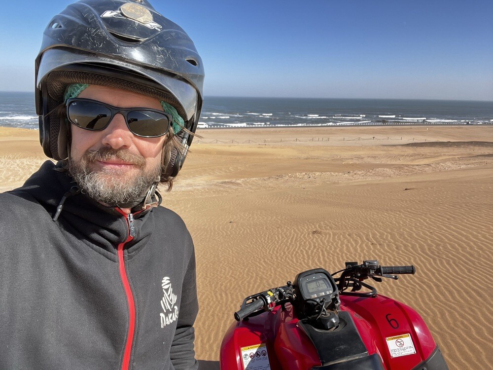
Quad bikes in the dunes in the morning. You ride in a group behind a guide, but there's plenty of room in the dunes, so we had a blast and got all the way out above the ocean. In the afternoon the jetty, the beach and getting ready for the next leg. Mirek bagged his first Namibian geocache here.
Dorob National Park
The park, declared in 2010, protects the coast from the Kuiseb River at Walvis Bay to the Ugab River. Quad biking in the dunes between Walvis Bay and Swakopmund is only allowed in designated zones, the rest of the dunes is closed because of the fragile vegetation and nesting birds.
Tuesday 11.07.2023, Naukluft
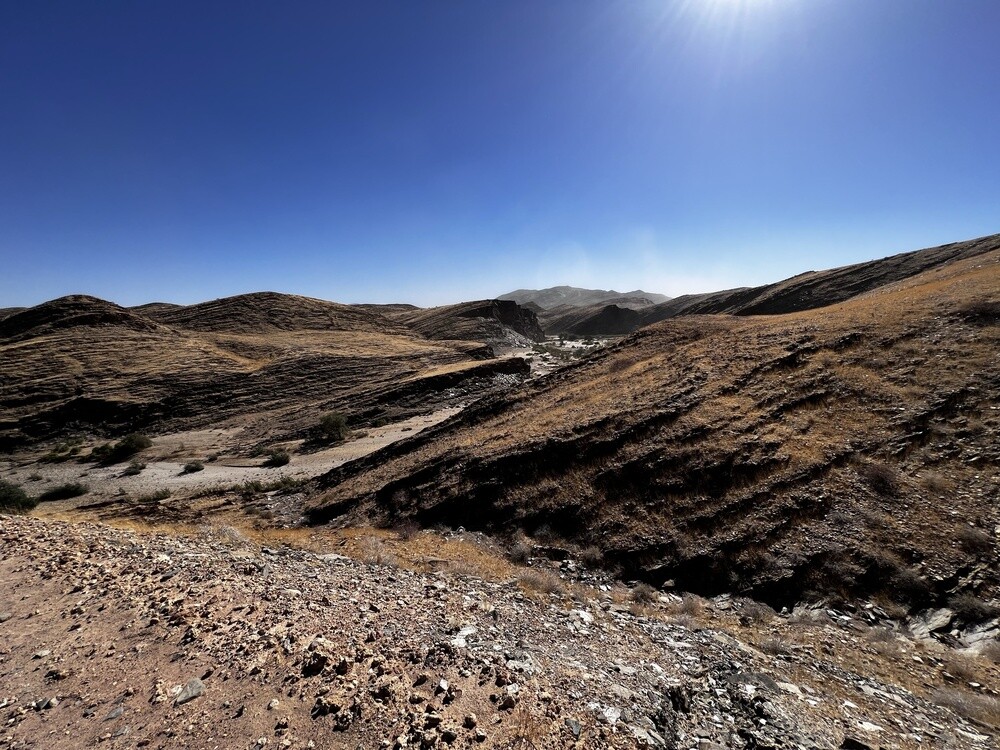
Early in the morning we set off into the wilderness again, this time south into the Namib Desert. At the campsites, electricity, internet and hot water gradually disappear, and at the last one the water runs out completely.
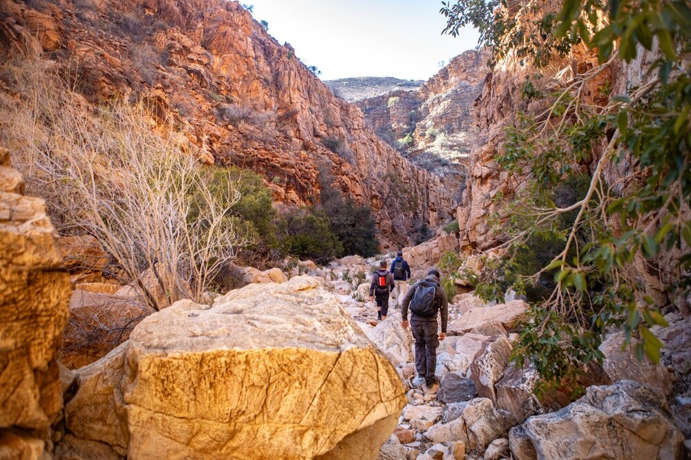
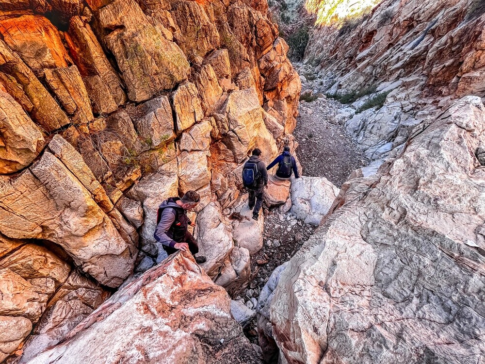
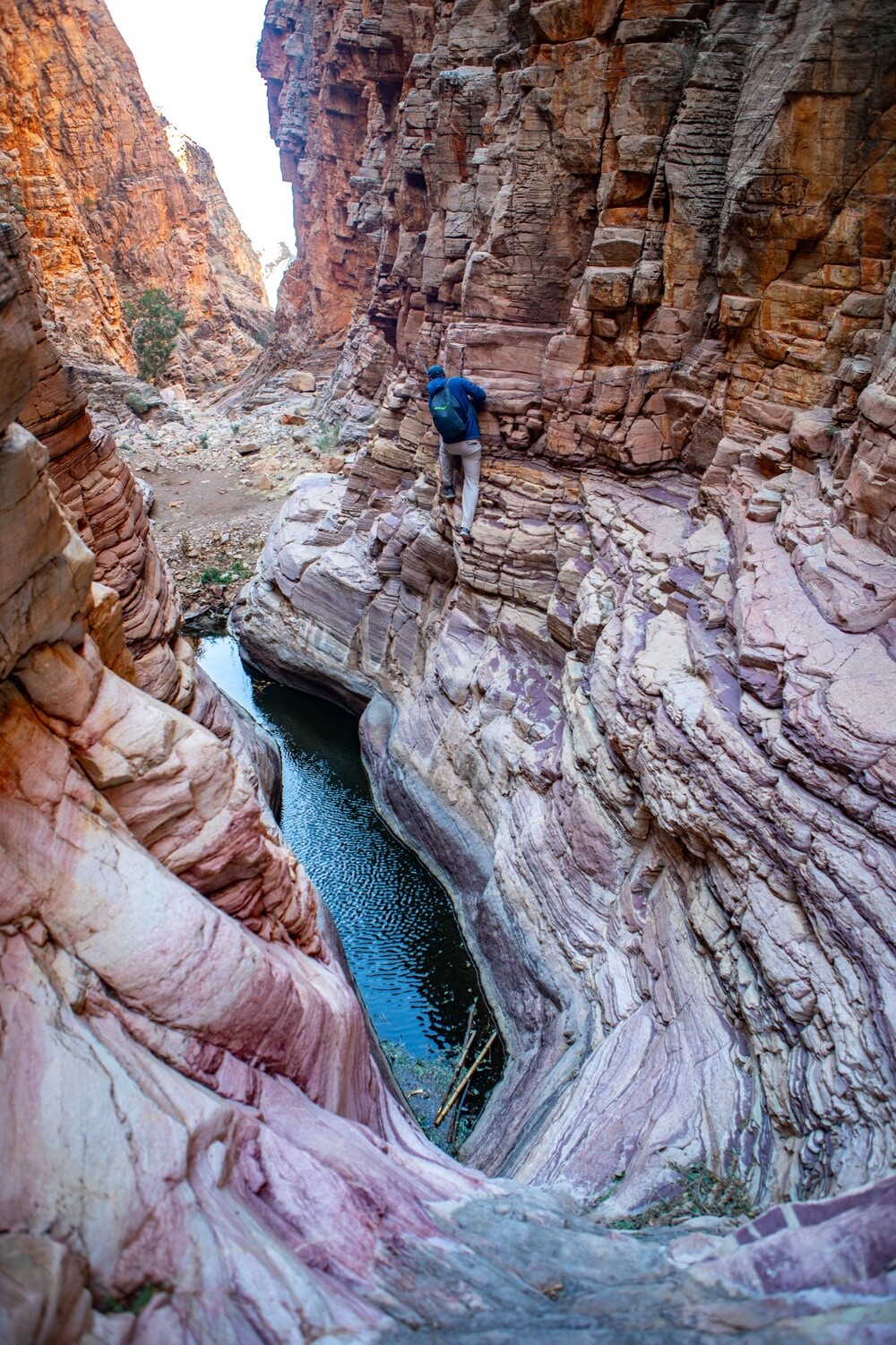
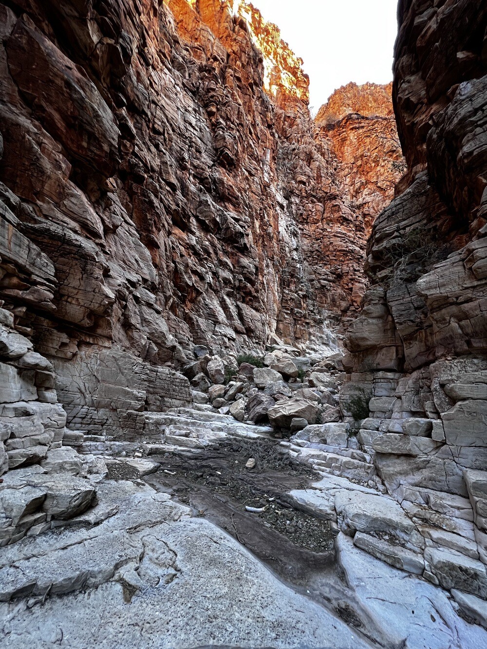
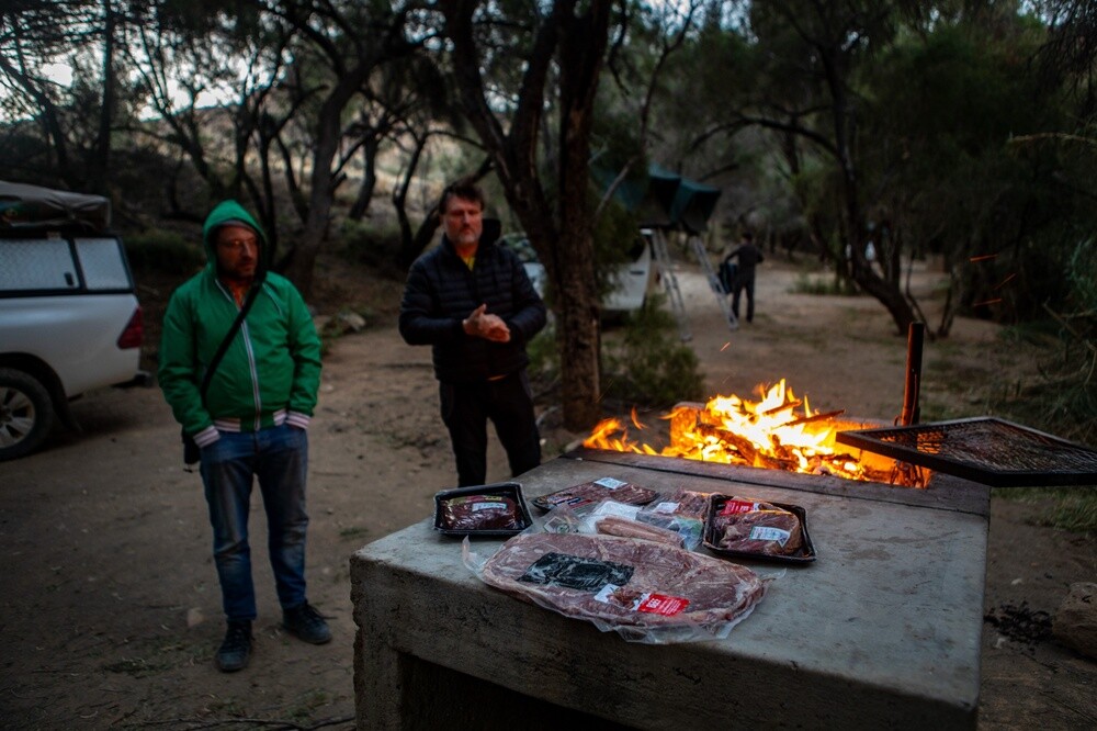
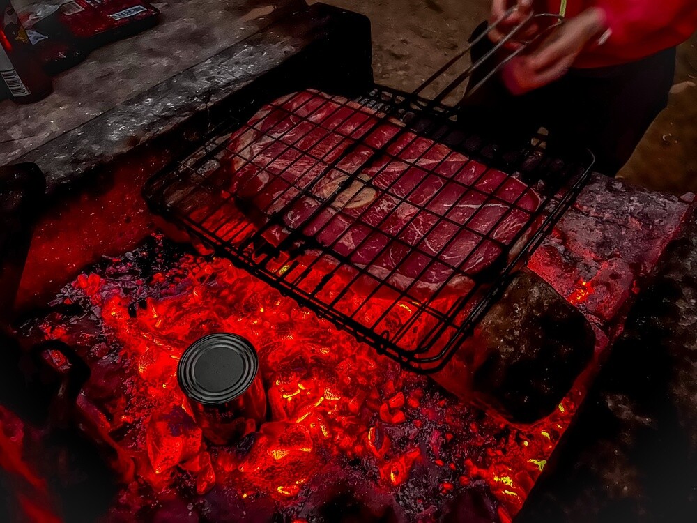
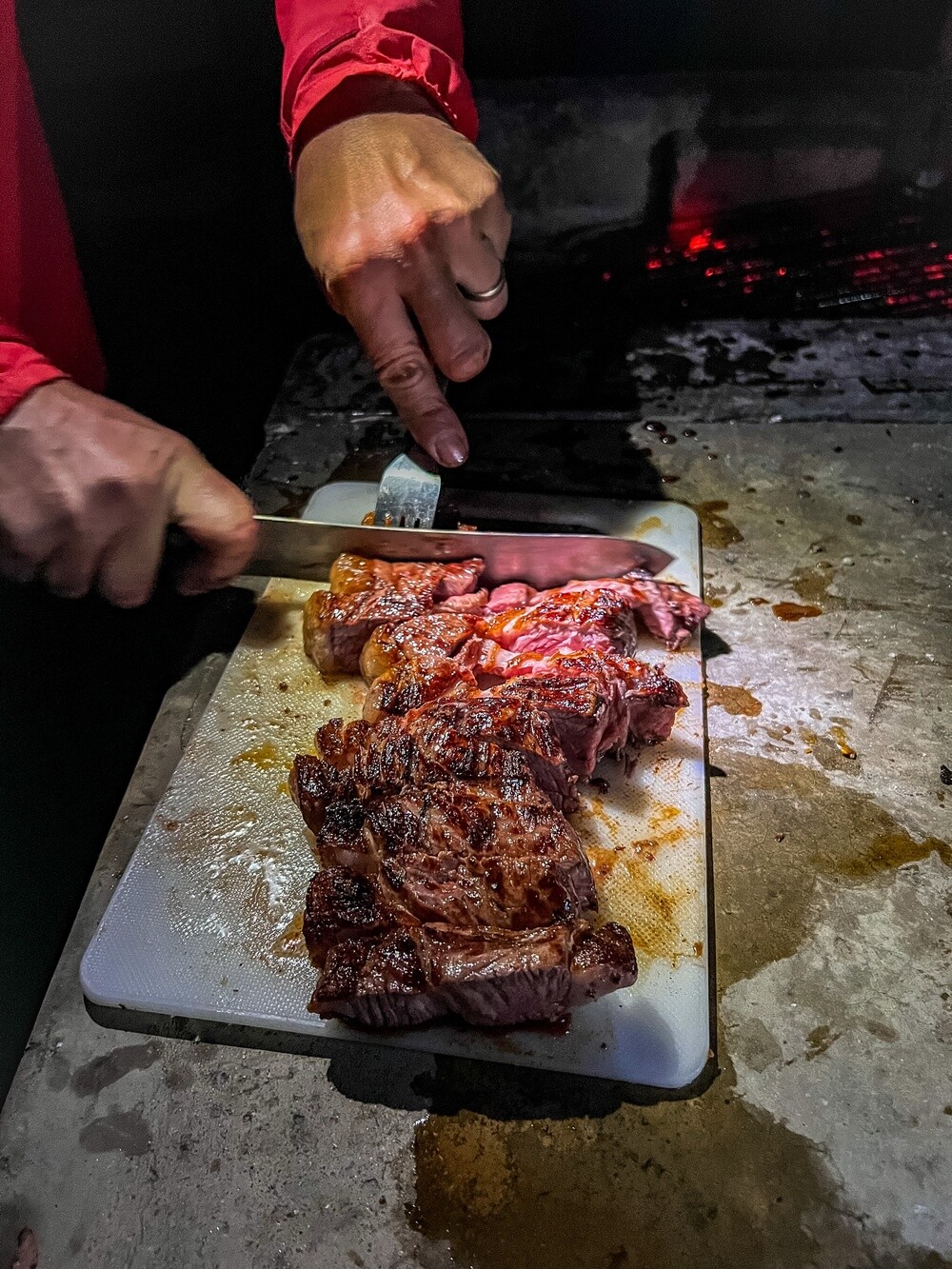
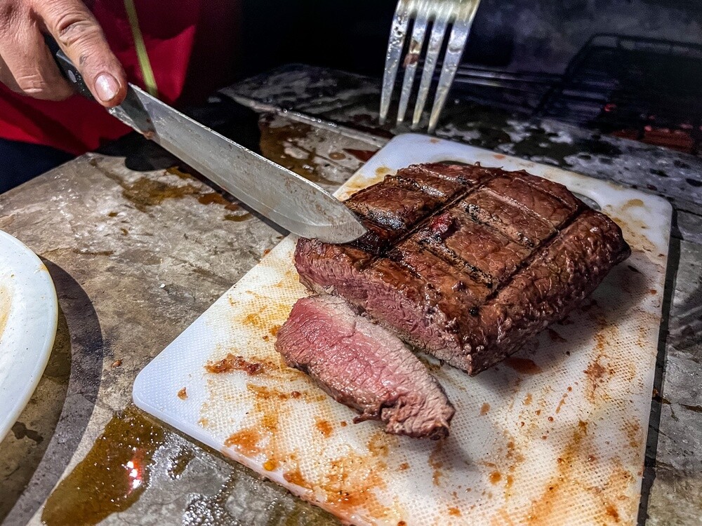
The first stop is a camp in the Naukluft mountains. In the afternoon a half-day trek, up onto the ridges and back through the river canyon, where we had to hand-over-hand our way about 6 m along chains above the water. The information warned us about cobras and black mambas, but it was so cold that the snakes were asleep and we didn't meet a single one. In the evening a luxury barbecue, steaks on the grill over glowing coals. The night was around freezing, windy, we went to bed at nine and baboons paraded around the cars all night, rummaging through the bins.
Naukluft
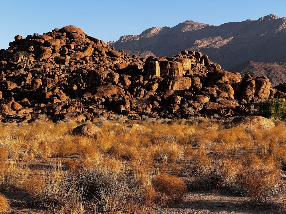
The mountain part of the Namib-Naukluft National Park, which at almost 50,000 km² is one of the largest in Africa. Water stays all year round in the gorges of the limestone range and mountain zebras, kudu and klipspringers live here.
Wednesday 12.07.2023, Neuras winery, Sesriem
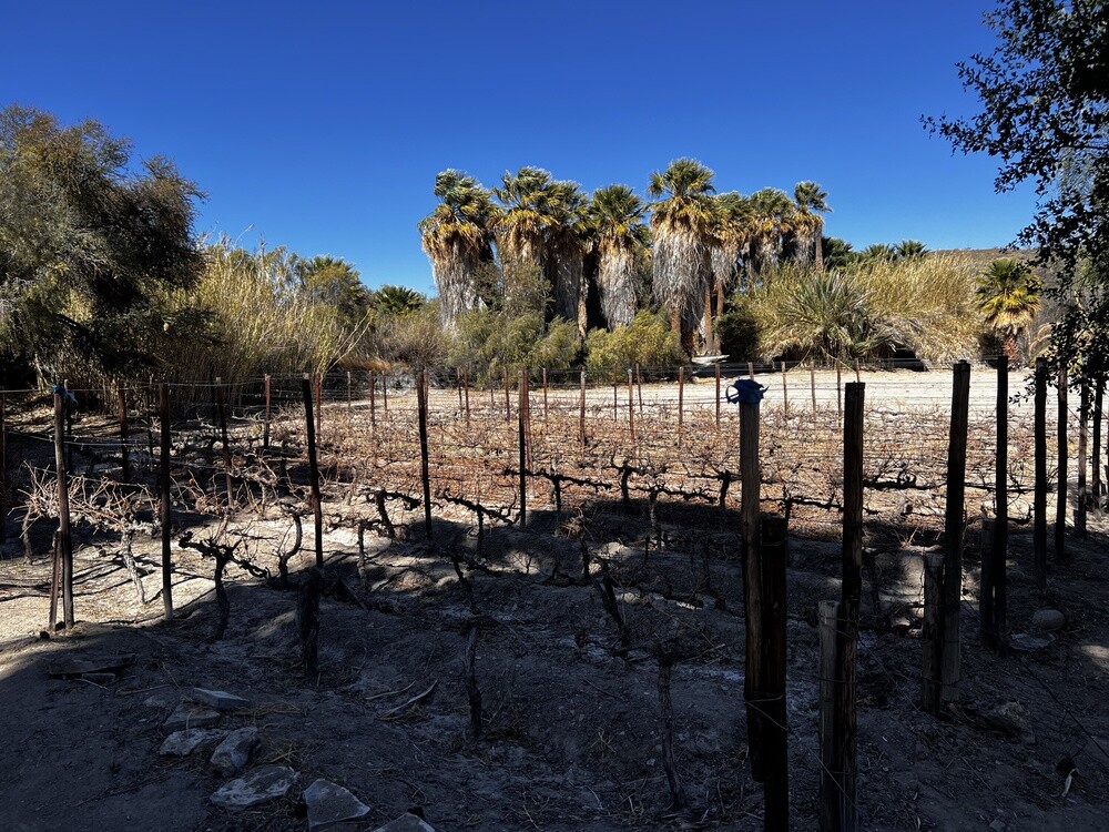
Still cold and windy, so instead of a trek we went for the Neuras winery. Wine in the desert! They make rum without sugar cane and ice wine without frost. They dug the cellar below the level of the river that flows a few metres away, and then wondered why it got flooded. The ice wine wasn't bad in the end, otherwise Mirek summed it up as more of a curiosity than a wine experience.
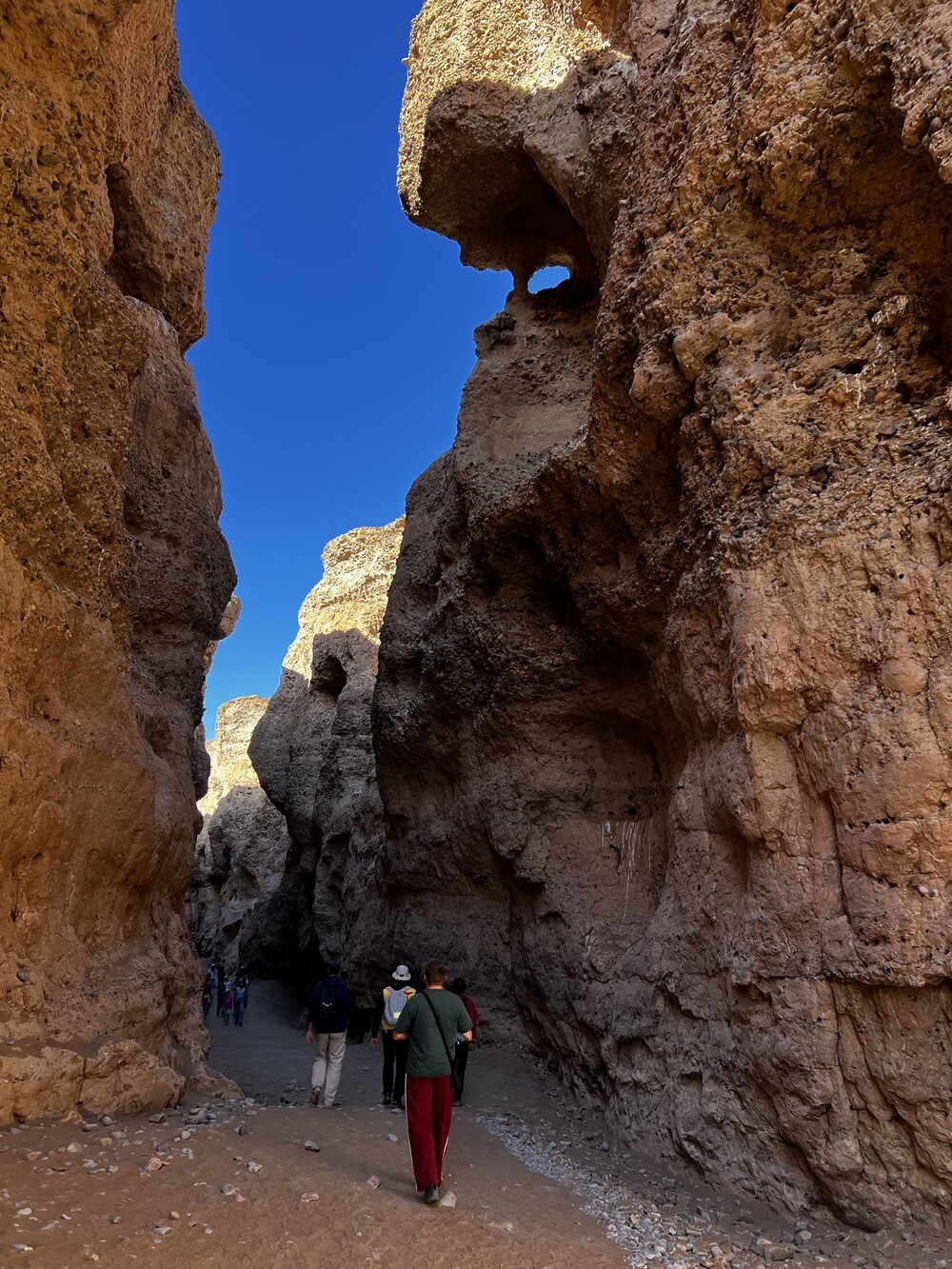
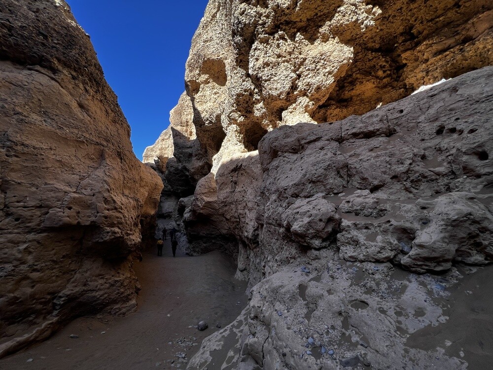
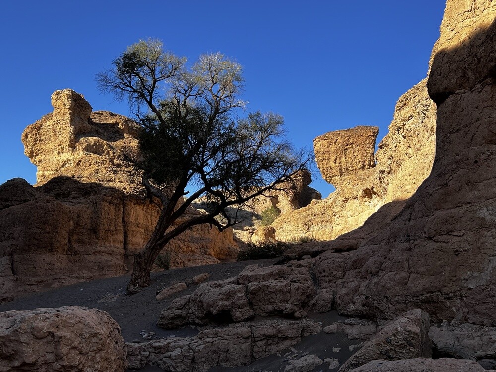
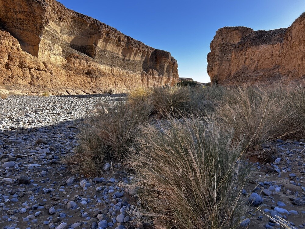
In the afternoon the drive to Sesriem, a walk through the canyon and another barbecue in the evening. This time it was jackals running around the camp.
Sesriem Canyon
The canyon carved out by the Tsauchab River is about a kilometre long and around 30 m deep. The name comes from Afrikaans and means six belts: that's how many leather straps the settlers had to tie together to haul a bucket of water up from the bottom.
Thursday 13.07.2023, Sossusvlei, Deadvlei, Hidden Vlei, Neuhof
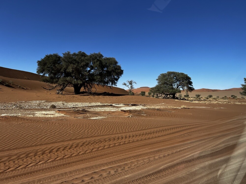
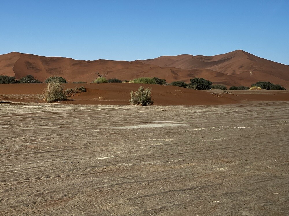
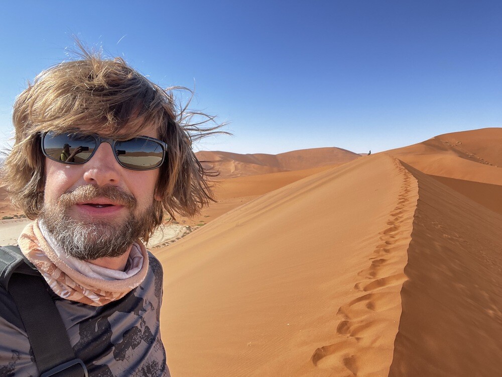
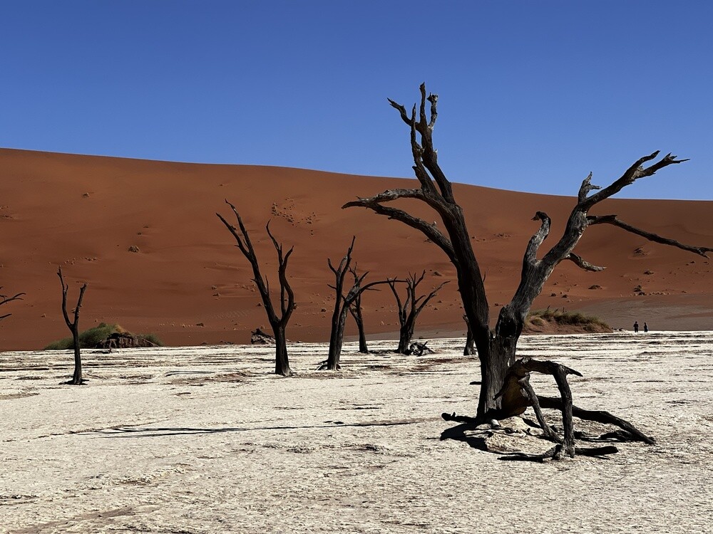
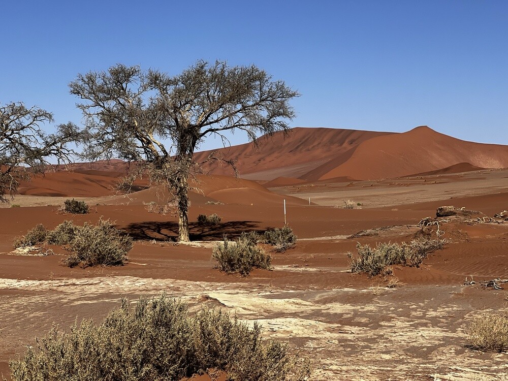
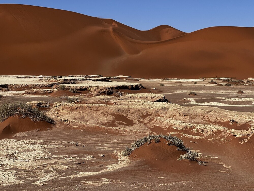
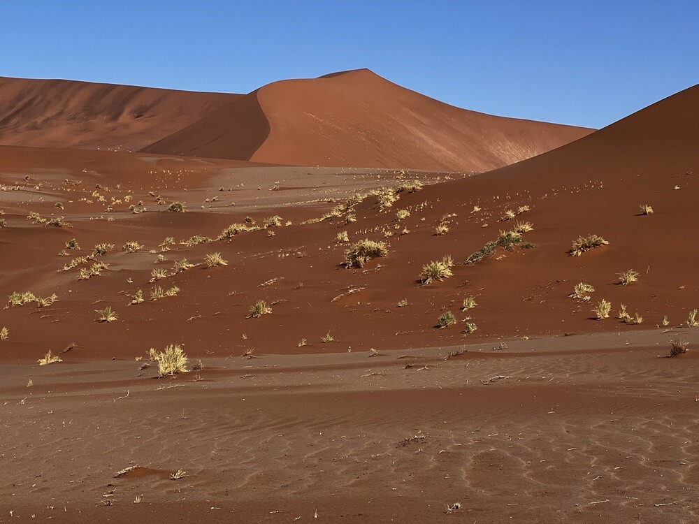
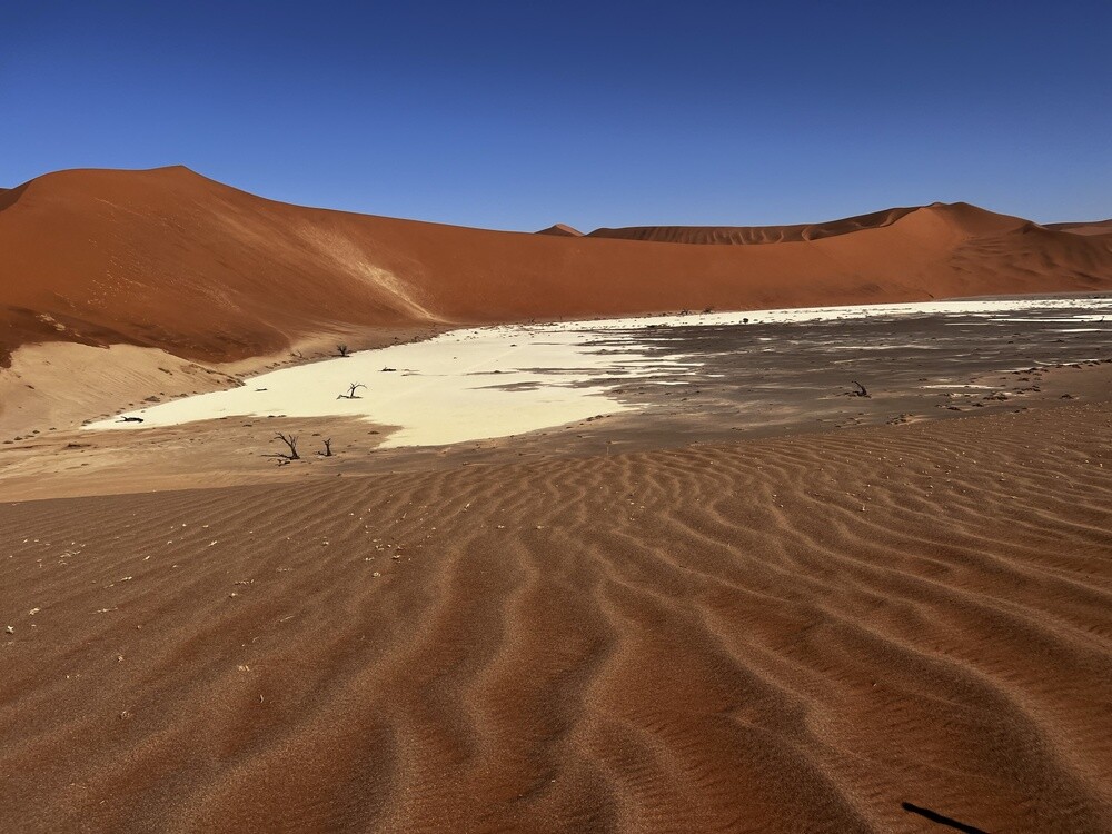
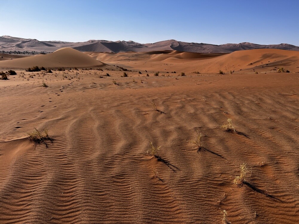
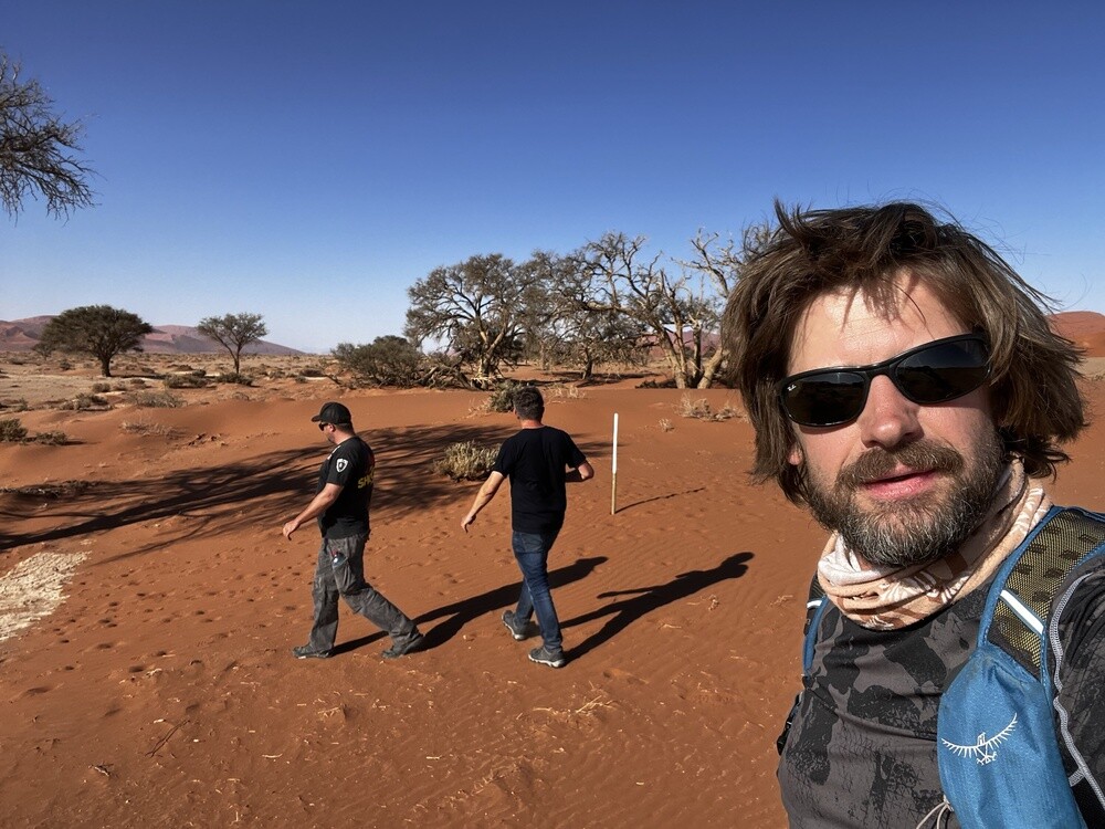
A day in the dunes. In the morning Sossusvlei and Deadvlei below the Big Daddy dune: a white pan, red dunes and black dead acacias. Mirek was convinced the trees were petrified and 160 million years old. It turned out in the end that they're just dried out and quite a bit younger. The second trek, about 4 km, led to Hidden Vlei, where almost nobody goes, so we had the desert all to ourselves.
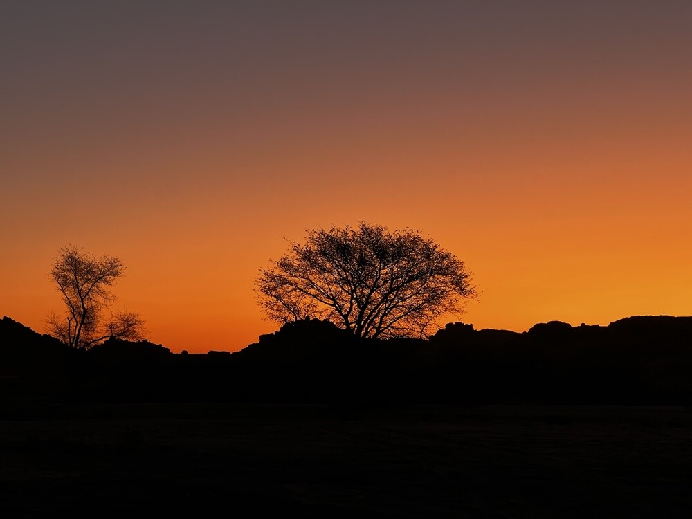
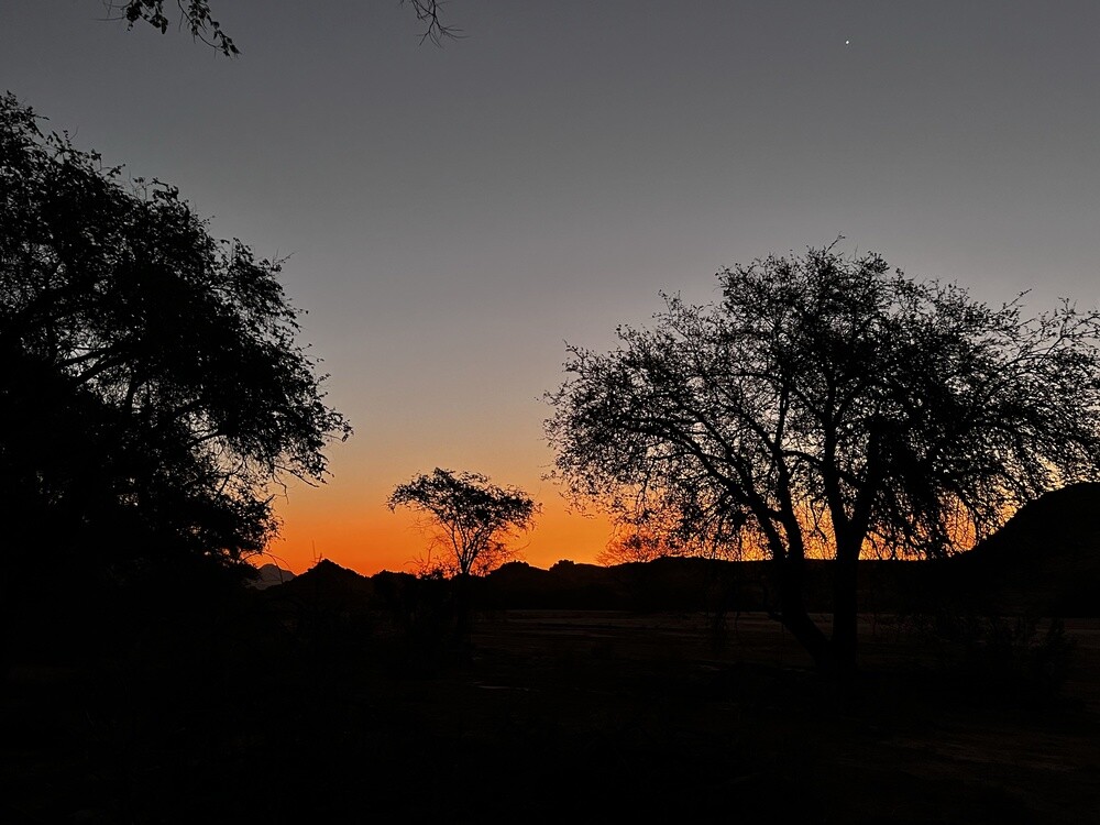
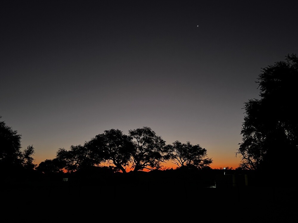
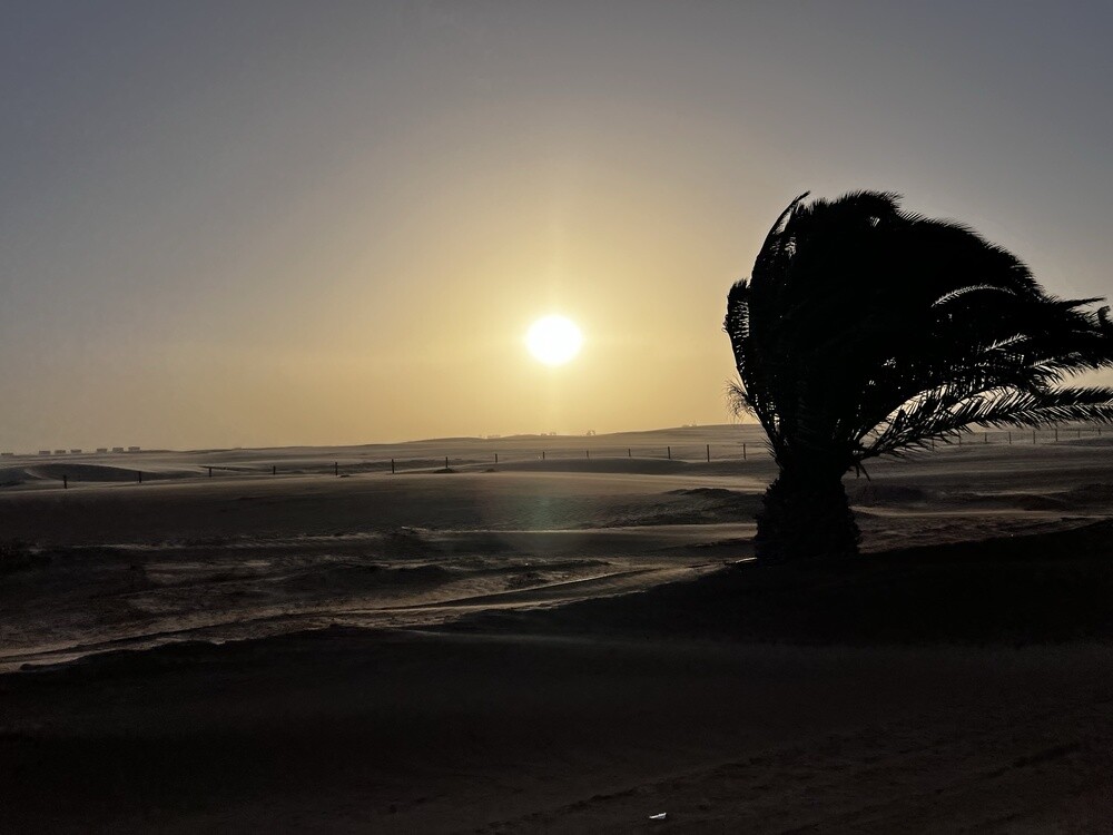
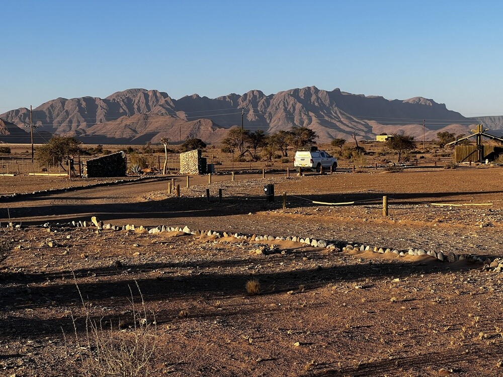
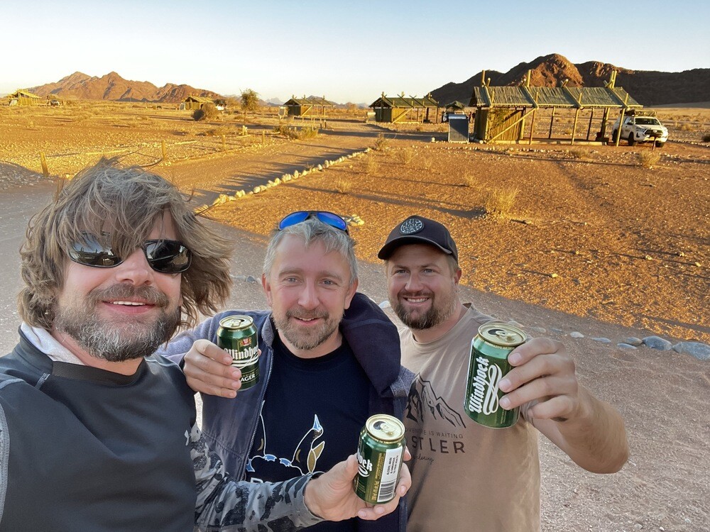
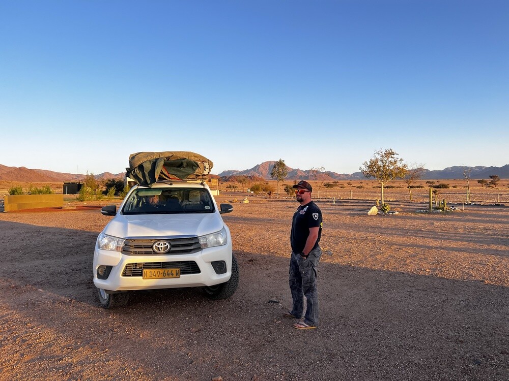
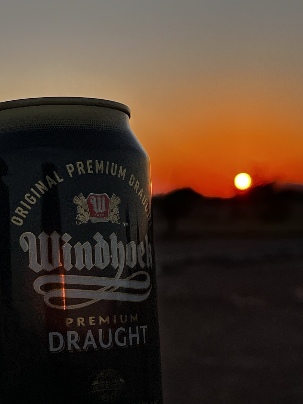
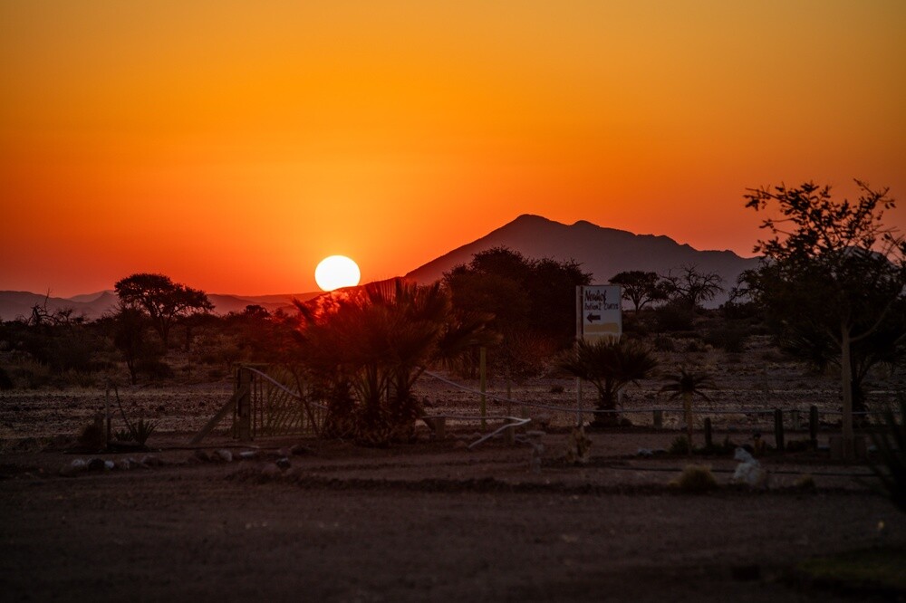
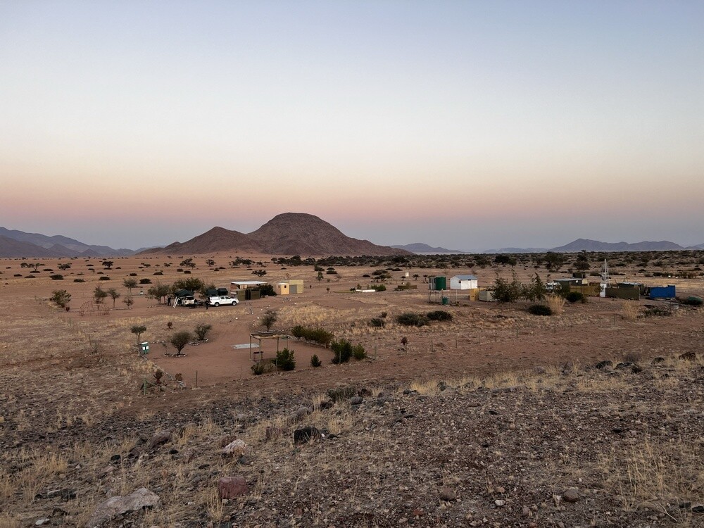
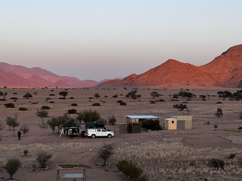
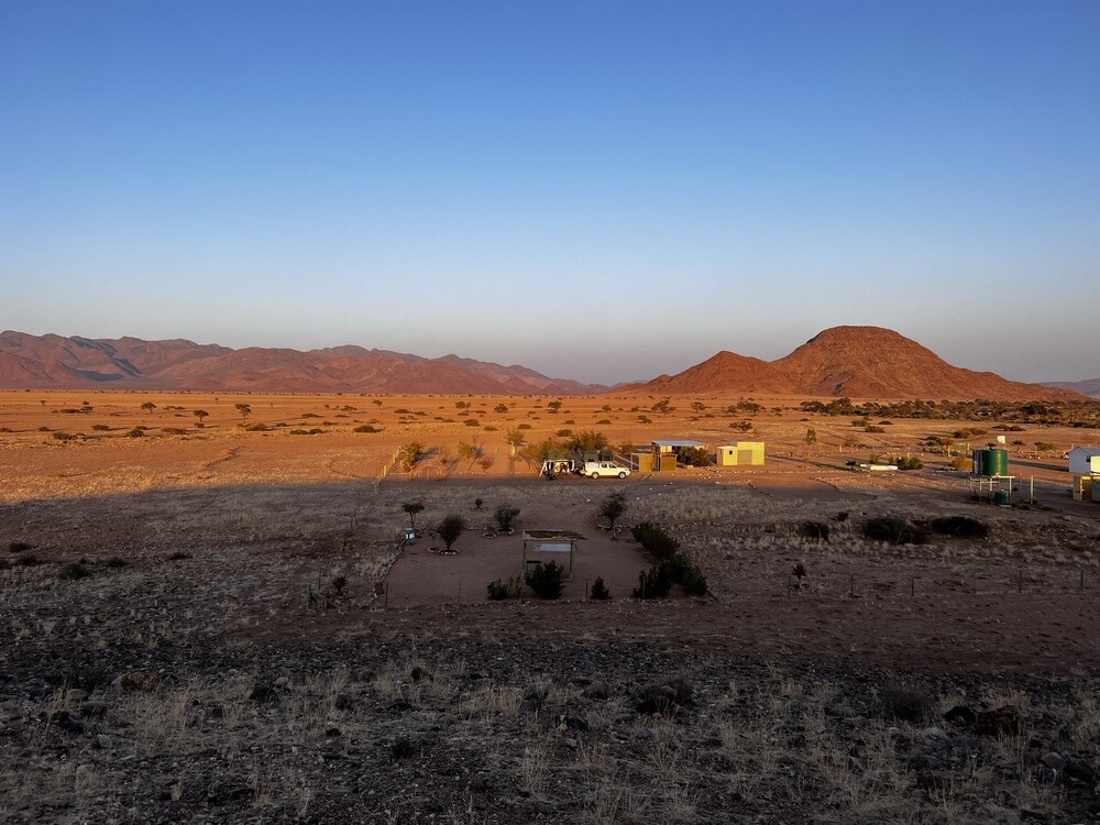
In the evening the last camp, Neuhof, Portion 2. The absolute end of the world: one family with a swarm of kids lives here, we're the only guests, there's just a toilet and in the evening the water ran out too. We finish off the last beers, polish off the last sausages and watch the sun set over Africa.
Sossusvlei
A clay pan surrounded by some of the highest dunes in the world, some of them over 300 m. The sand gets its red colour from iron oxide. The Tsauchab River only reaches here in rare rainy years.
Deadvlei
The dunes cut the pan off from the river about 900 years ago and the acacias in it dried up. Their trunks are around 600–700 years old and don't decompose in the dry air.
Hidden Vlei
A pan with dried-up acacias similar to Deadvlei, reached by a marked trail across the dunes. Very few people come here.
Friday 14.07.2023, the road to Windhoek
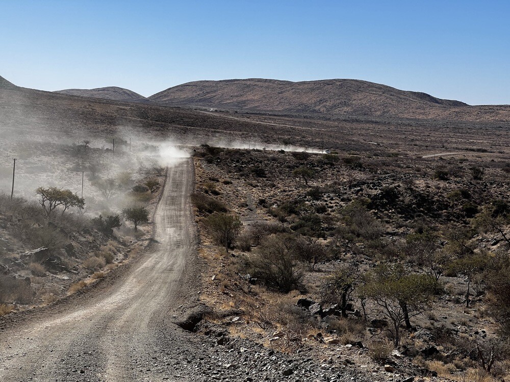
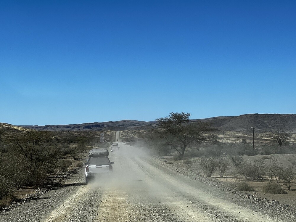
Sunrise in the morning and we gave the leftover supplies including the Nutella to the family from the camp, they were over the moon about it. Then the endless drive to Windhoek. The Toyotas beep when you go over the speed limit, except they're set to 85 km/h and the limit is 100. So it beeped non-stop. We agreed we'd wait for each other at the first petrol station, except there wasn't one for a good 200 km.
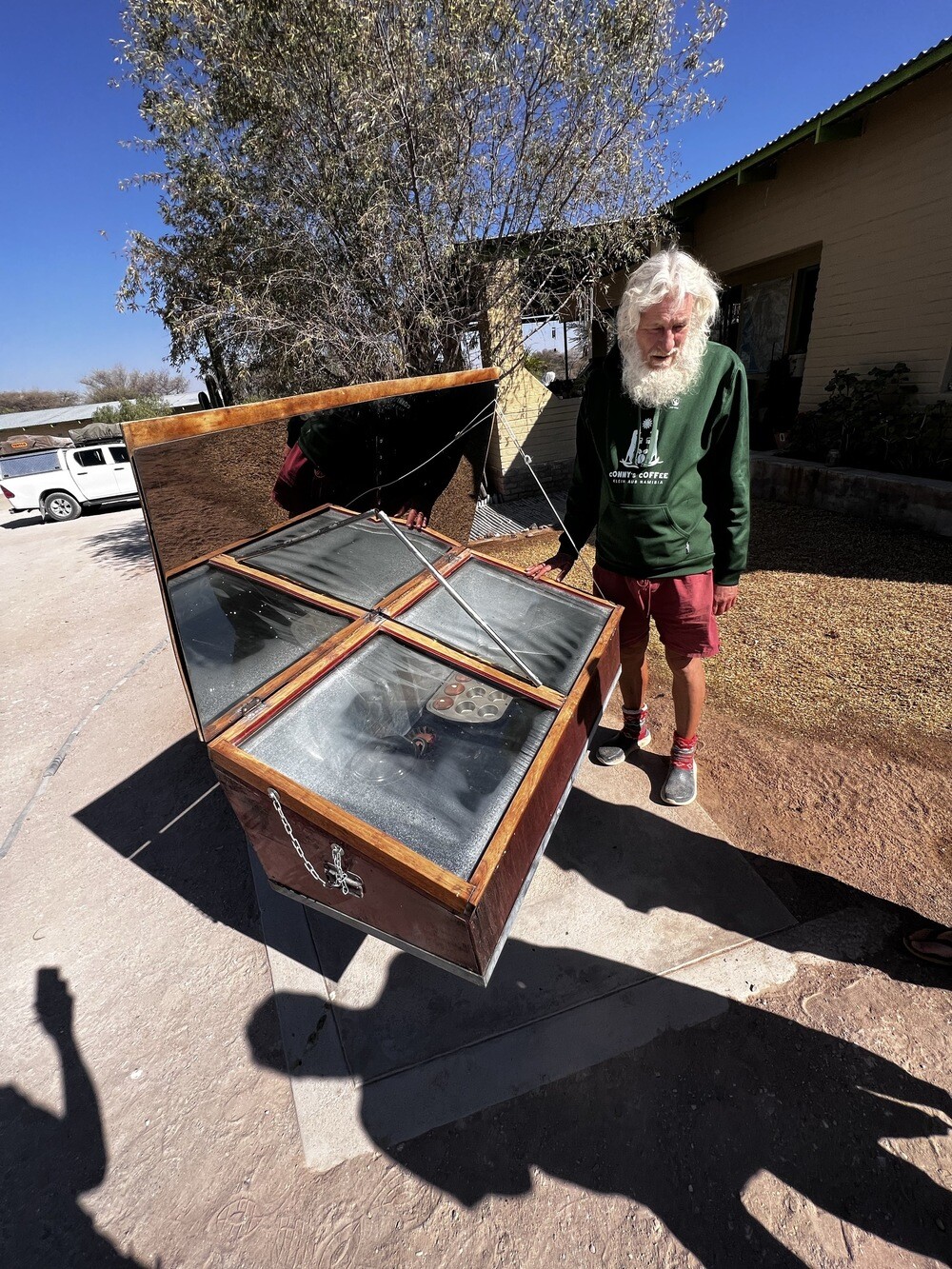
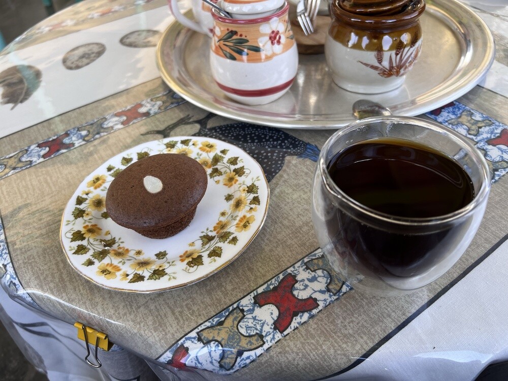
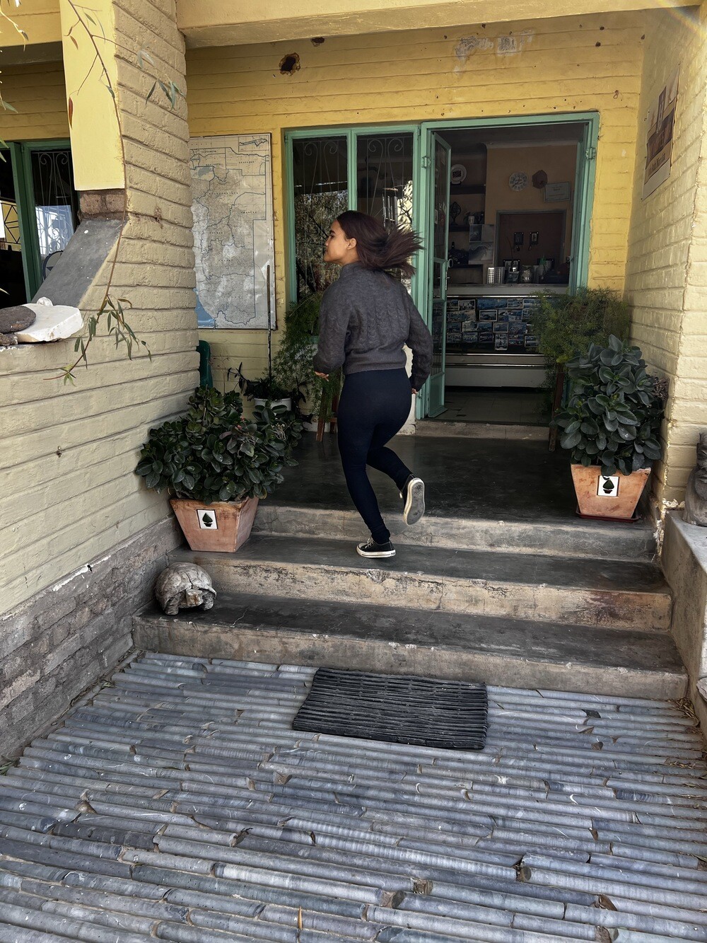
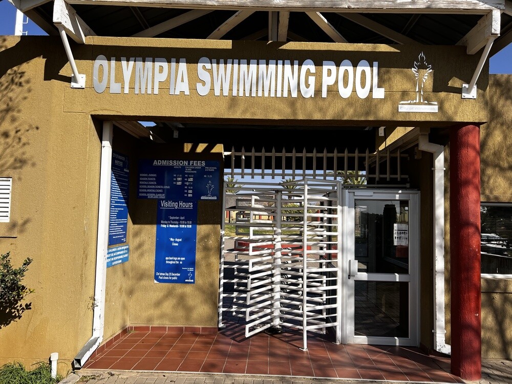
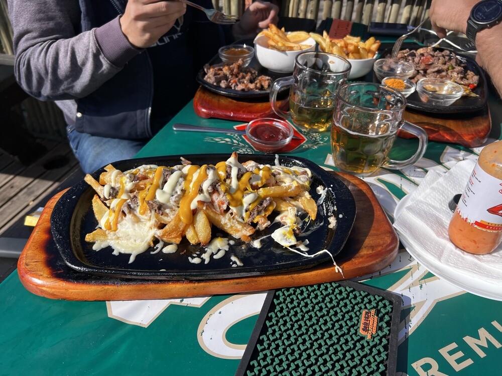
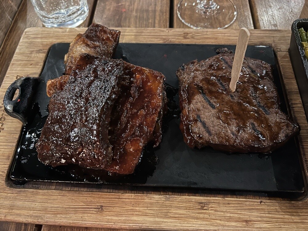
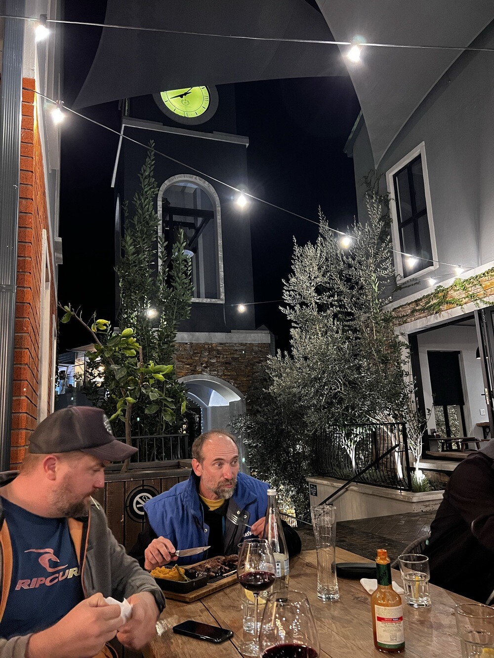
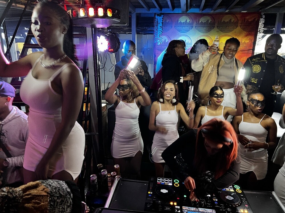
All the more of a miracle was a Coffee Shop sign in the middle of nowhere. A German guy with his local wife and daughter brews great coffee here and bakes muffins in a solar oven, a glass box out in the sun. And they have internet! In the afternoon the Olympia swimming pool in Windhoek, in the evening dinner together (ribs and steaks) and a shisha at the Chicago bar. Some well-known DJ had just turned up, the club was packed and we were about the only white people there.
Saturday 15.07. and Sunday 16.07.2023, the journey home
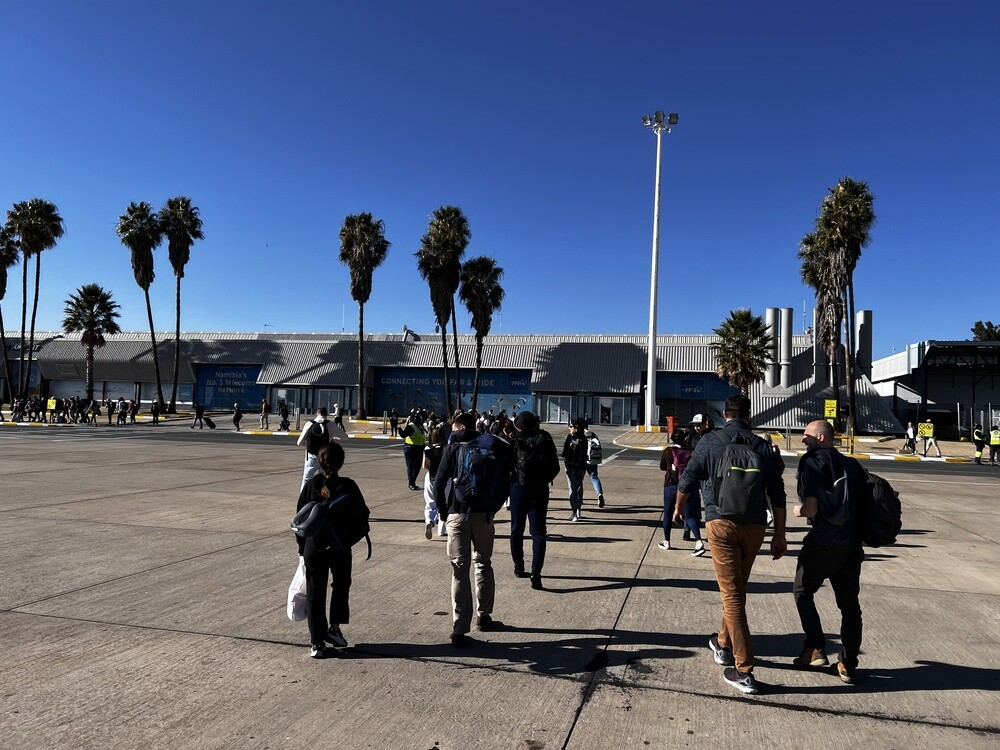
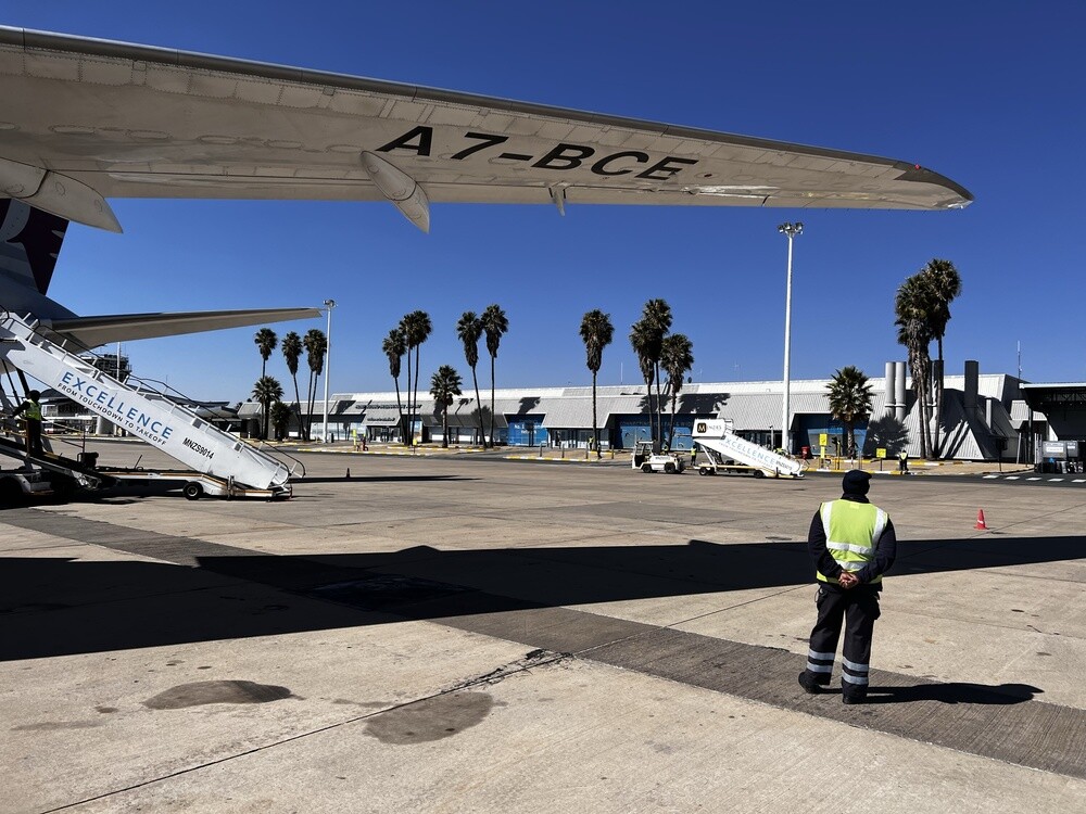
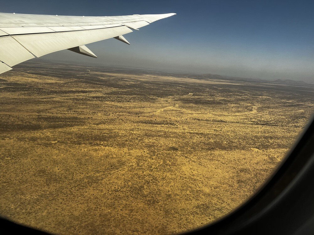
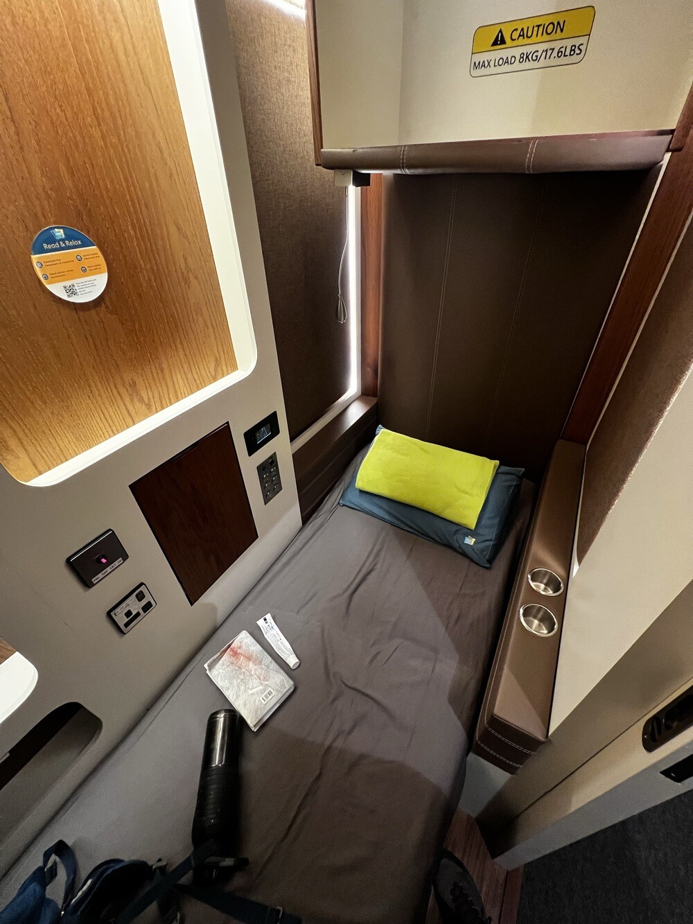
In the morning we return the cars at the rental and head to the airport. A flight with Qatar Airways via Doha and on Sunday evening we're home. The same time zone as ours, so no jet lag 🙂
Hosea Kutako Airport
The international airport lies about 45 km east of Windhoek. It's named after Hosea Kutako, the Herero chief who from the 1940s petitioned the UN to end South African rule.