Across the American West on motorbikes

9–18 Oct 2026 | Nevada, Arizona and Utah, USA / America
Photos
Photos on the map
Text
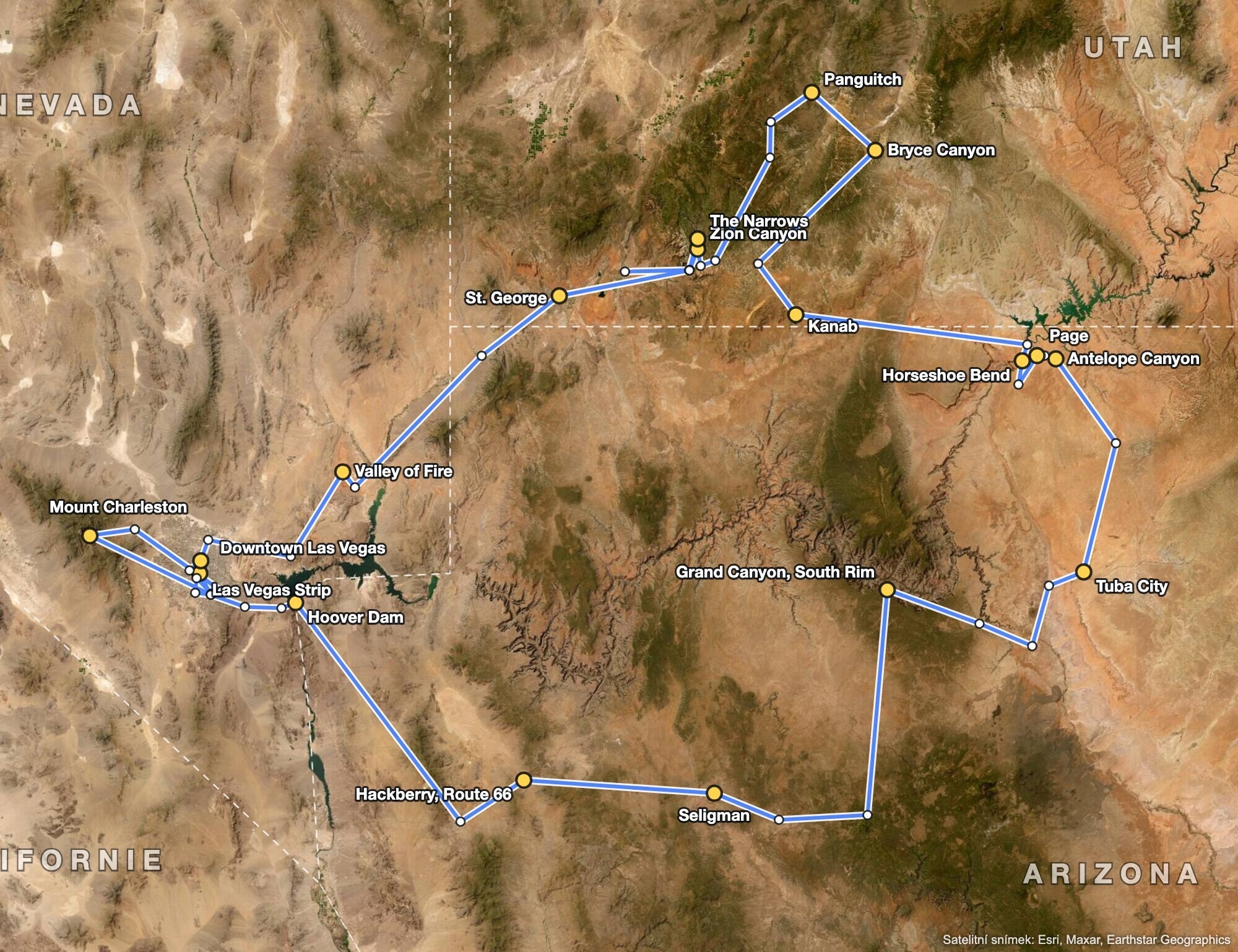
Map of the route through Nevada, Arizona and Utah on a satellite image
The whole route, 9–18 October 2026

Friday 09/10/2026, Las Vegas, Sphere, Henderson

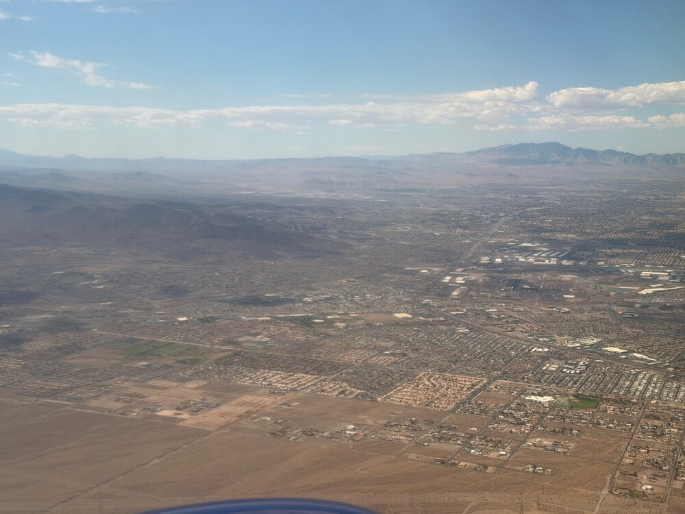
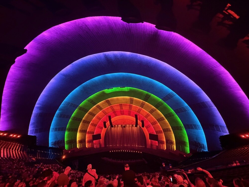
The guys flew in from Europe on Thursday evening. I was still stuck in a board meeting in San Francisco, so I only landed on Friday morning. From the plane Vegas looked exactly the way it should: brown desert, endless straight streets and mountains above it all. We didn't hang around for long and by just after two we were sitting in the Sphere.

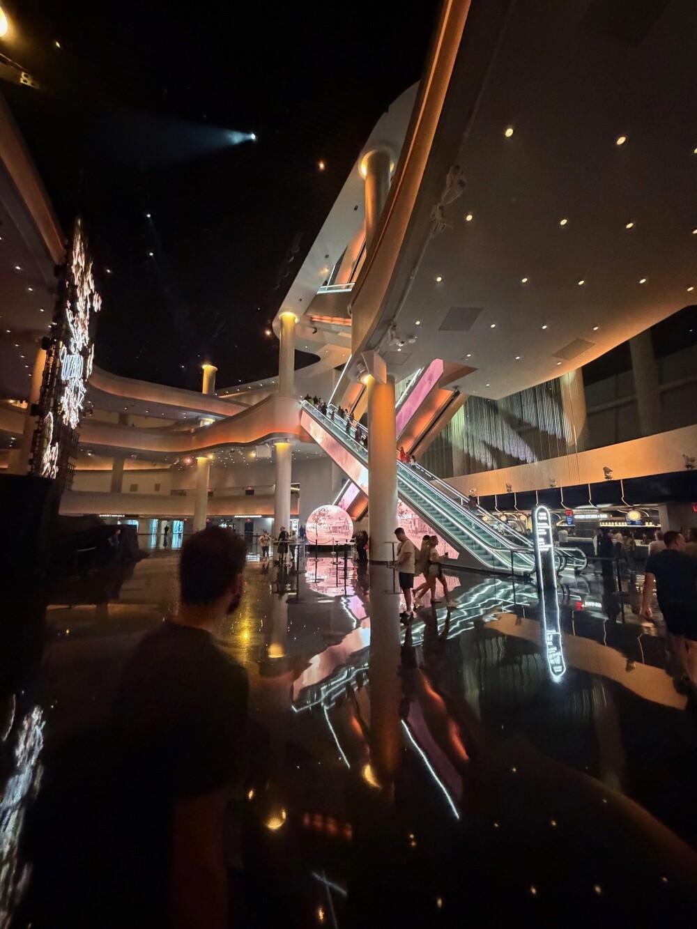
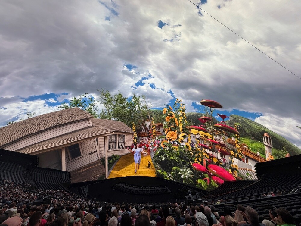
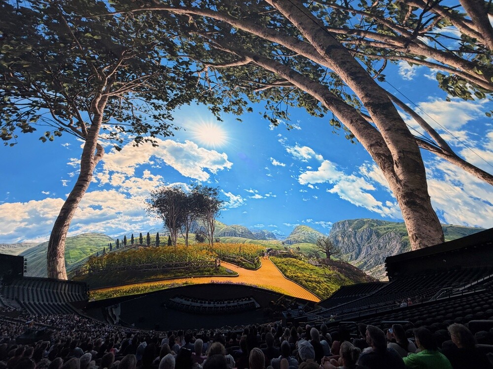
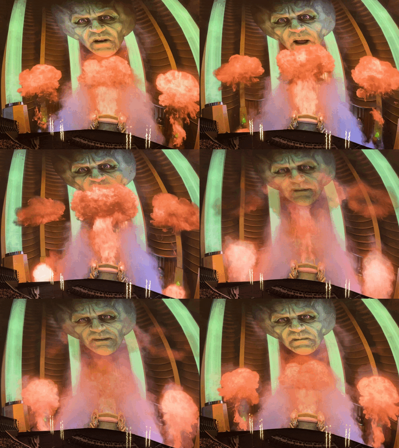
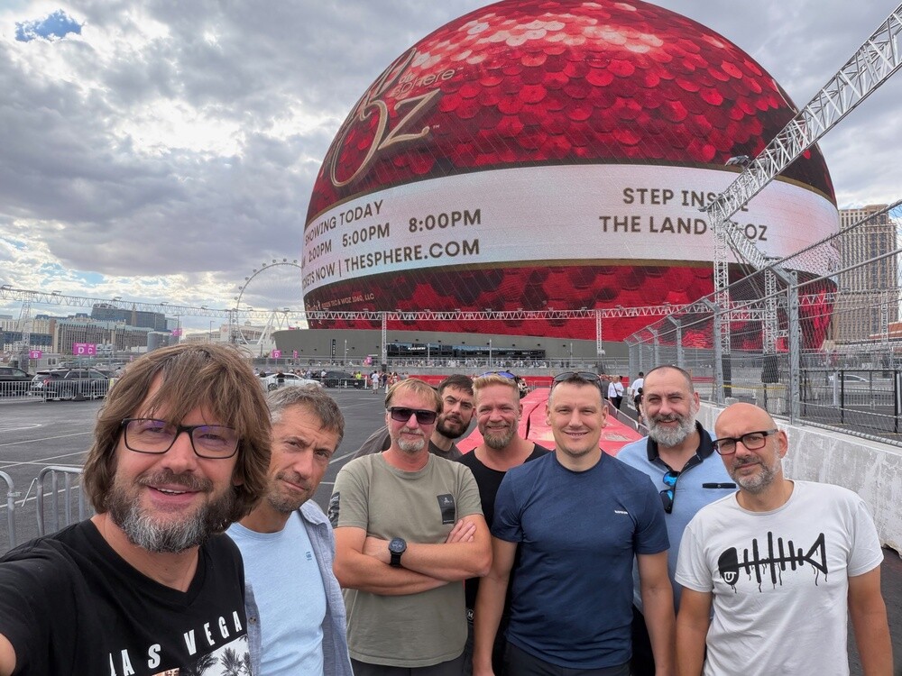
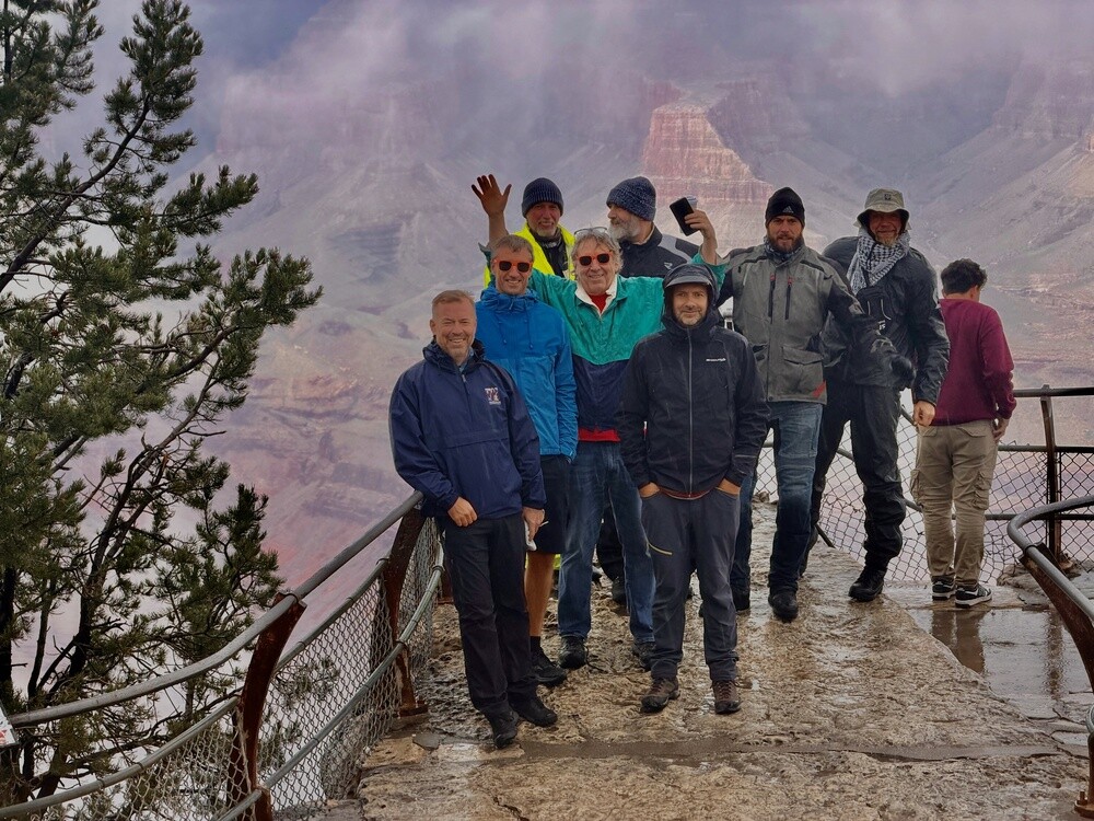
The Sphere is currently running Wizard of Oz, the good old Wizard of Oz from 1939, stretched across a screen the size of two football pitches. On top of that the wind blows, the seats shake and when the wizard appears, flames shoot up around his head. You sit in your chair and wait for the tornado to carry you off, seat and all 😄. Outside we took photos in front of the sphere, which was lit up with STEP INTO THE LAND OF OZ at the time. That ball really is huge!

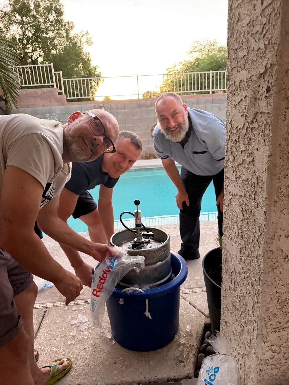
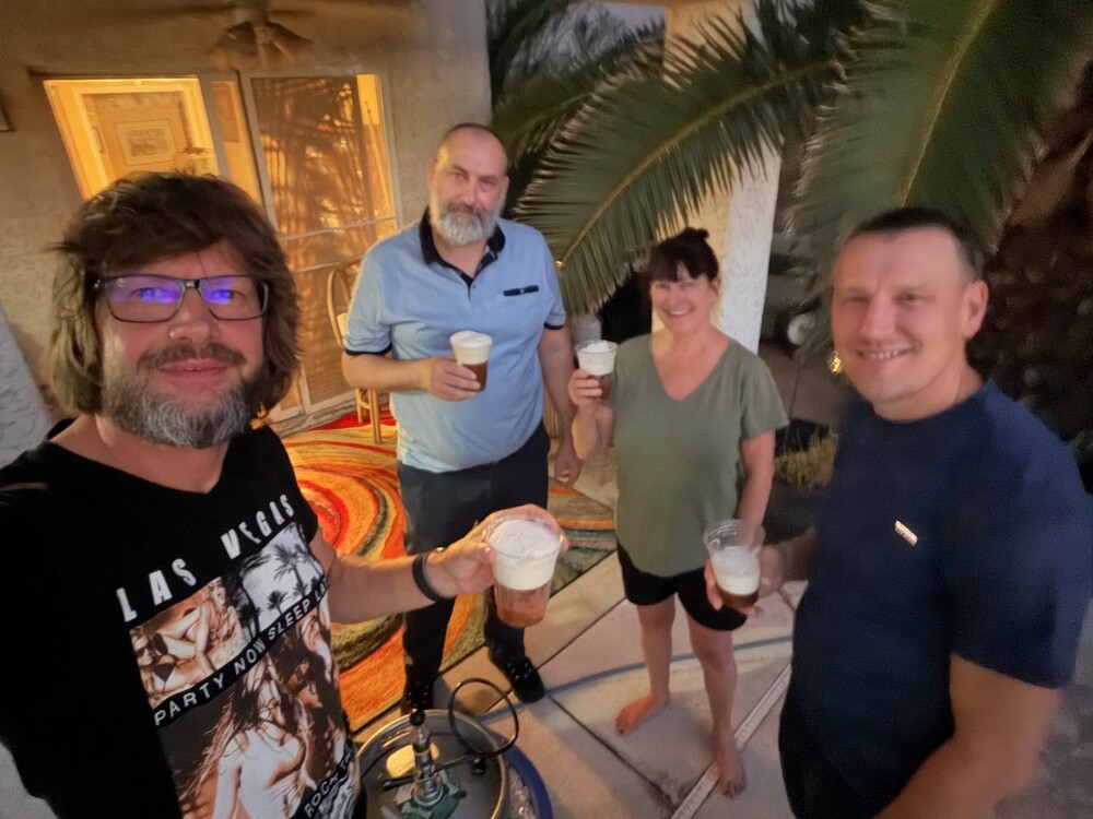
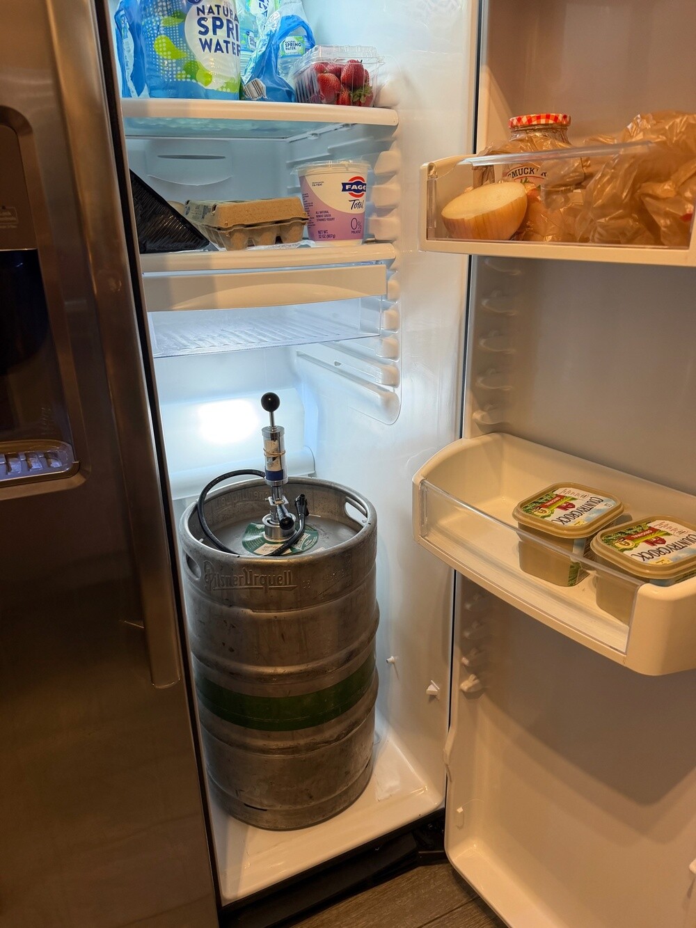
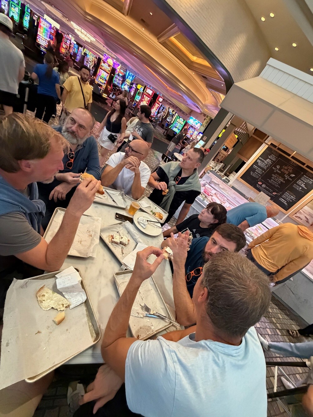
In the evening Jeff invited us over to his place in Henderson. And Jeff is a legend. He ordered a keg of Pilsner Urquell especially for the bunch of Czechs! Not some American lager with a Czech name, the real pilsner. He had it delivered from the distributor straight to our Airbnb on Thursday evening, so it was waiting for the guys right after they landed. The guys dealt with it their own way: they pulled all the shelves out of the fridge and slid the whole keg in, tap and all. The only space left for food was the shelves in the door 😄. We loaded the keg up for the party and took it over to Jeff's, people went to it all evening like to an altar, and at night it travelled back into the fridge at the Airbnb.

Meanwhile Ála took over the grill and grilled a cow. Not the whole thing, but judging by the amount of meat it looked like it at times 🙂.

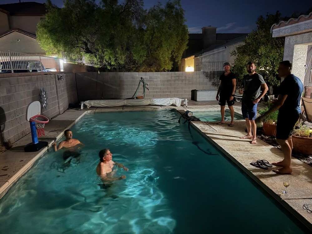
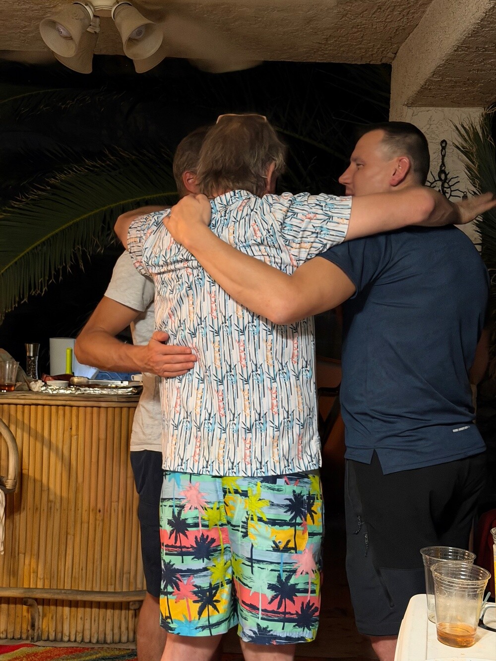
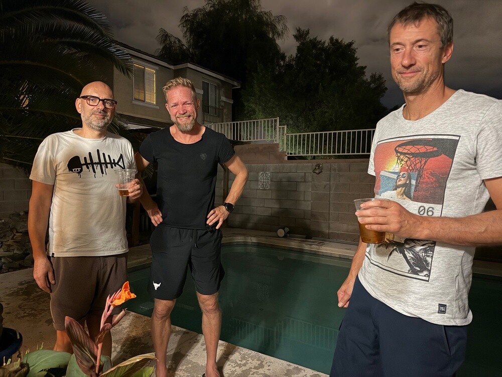
Whoever wasn't eating or pouring was in the pool. After dark the underwater lights came on and a game of water basketball got going. Playing basketball in a pool at night in the middle of October is pretty unusual for us. As the beers piled up, so did Jeff's hugging, he really did look glad to see us, and Mistry too. Great party. Sometime after half past ten we called it a night, the mountains were waiting for us the next day.

Las Vegas
The town came into being in May 1905, when the railway company parcelled out and auctioned off land along the new line from Salt Lake City to Los Angeles. The name is Spanish for meadows, after the springs where trading caravans found water and grass in the desert. Nevada legalised gambling in 1931. Most of the Strip lies outside the city limits, in the townships of Paradise and Winchester. About 650 thousand people live in the city, over two million in the whole metro area.

Sphere
The sphere, 112 metres high and 157 metres wide, stands right behind the Venetian hotel. It opened on 29 September 2023 with a U2 concert and cost roughly 2.3 billion dollars. The outer shell is made up of some 1.2 million LEDs and inside there's a curved 16K screen above an auditorium for approximately 17,600 spectators. It's the largest spherical building in the world.

Henderson
Nevada's second largest city, about 330 thousand inhabitants. It grew up around the Basic Magnesium plant, which from 1941 produced magnesium for warplanes and ammunition. It's named after senator Charles B. Henderson and became a city in 1953.

Saturday 10/10/2026, Mount Charleston, Red Rock Canyon, Las Vegas Strip

In the morning I made everyone eggs and bacon for breakfast. Feeding nine blokes is no small job.

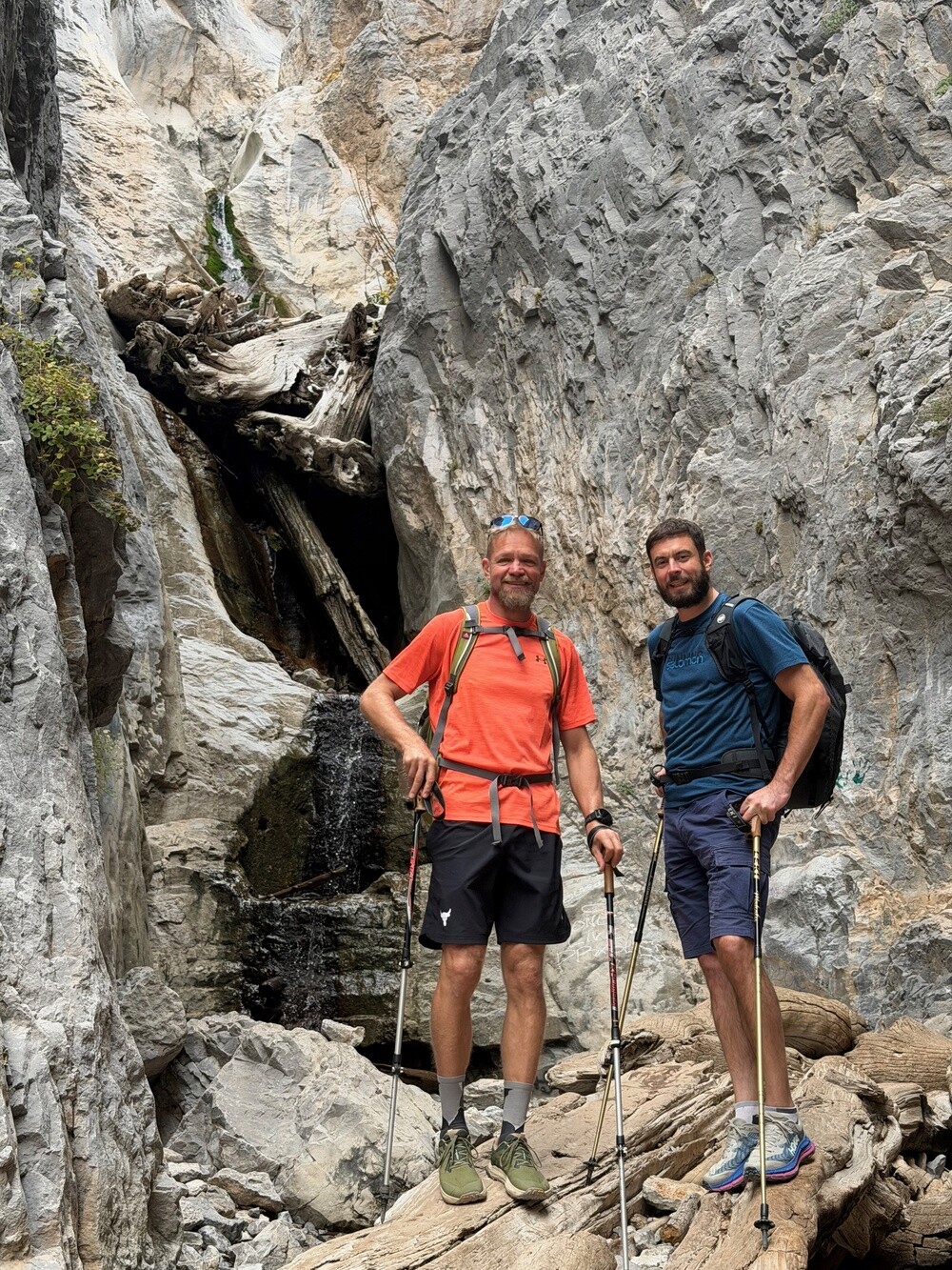
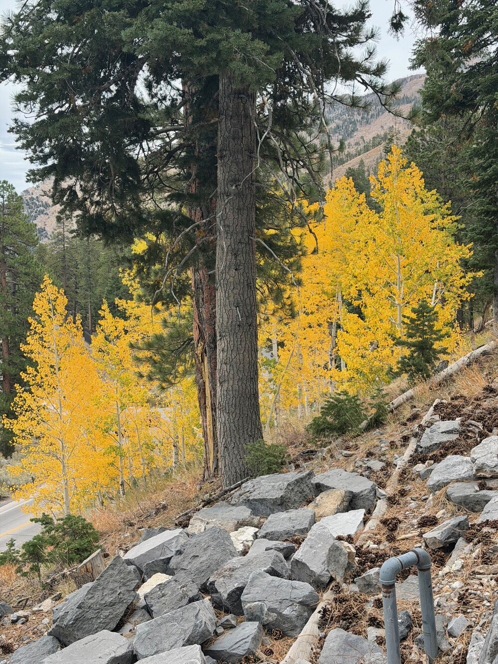
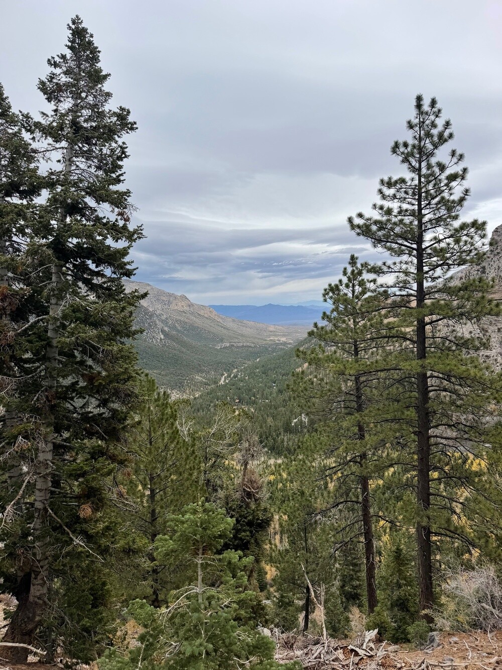
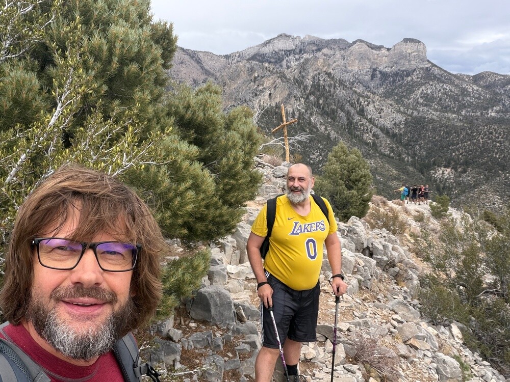
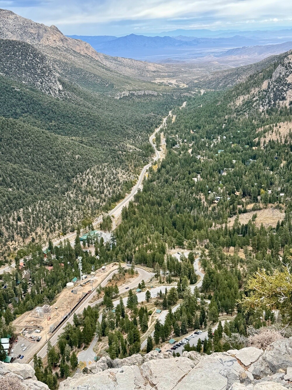
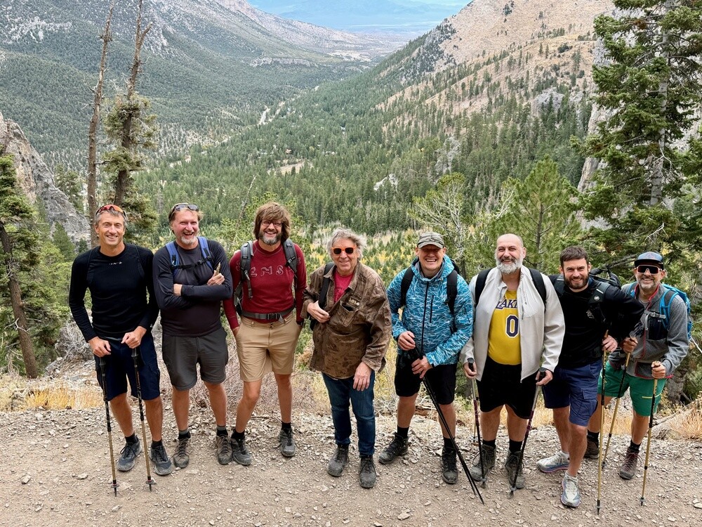
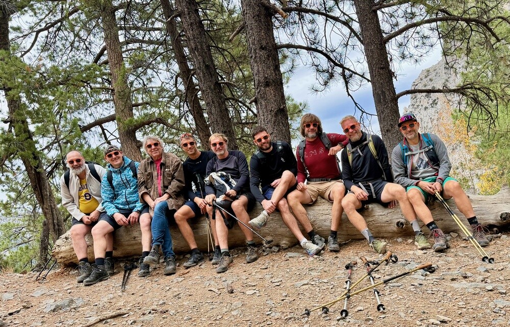
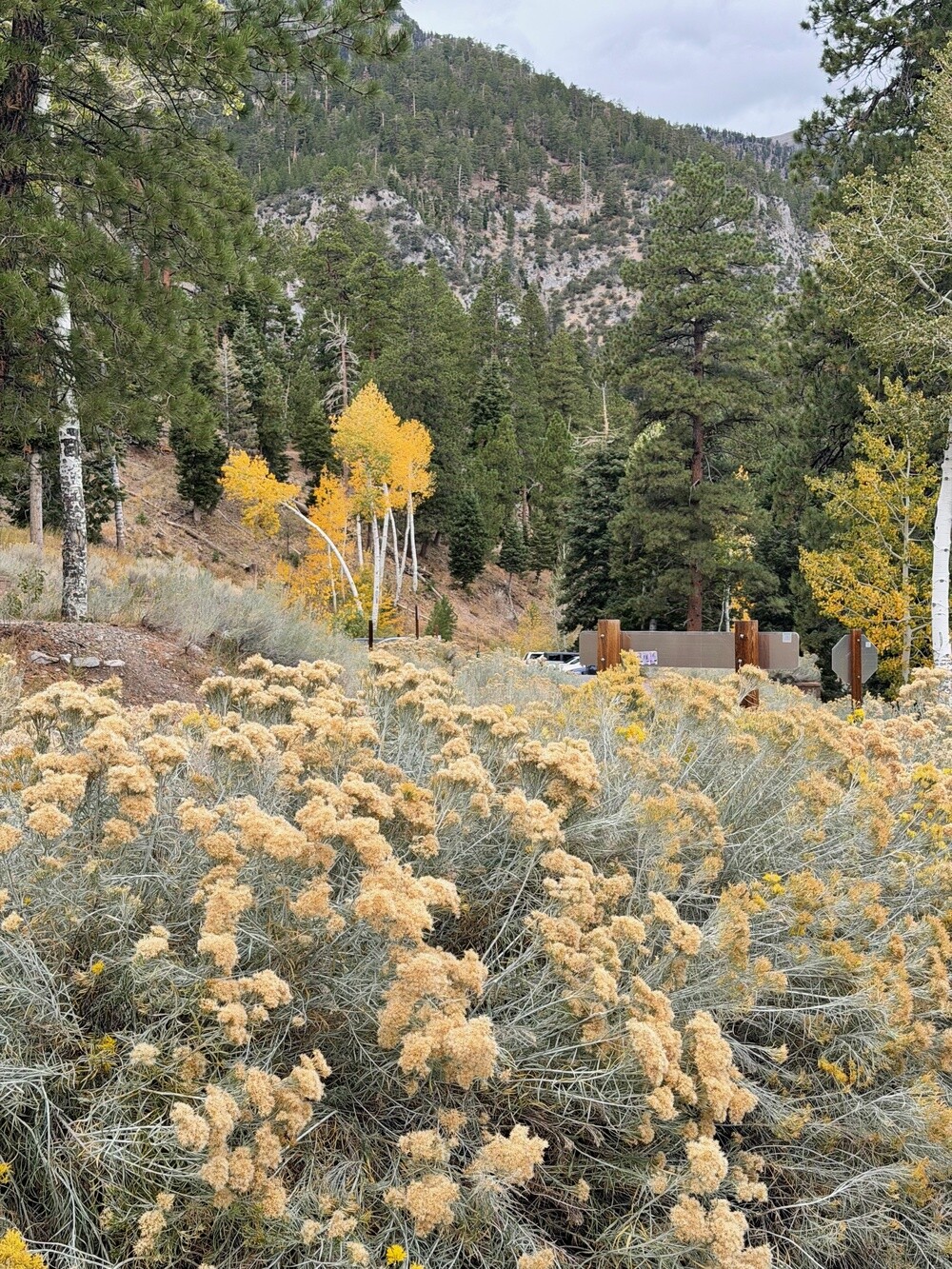
Jeff's original plan was clear: climb Mount Charleston, 3,633 metres. Except after the previous evening nobody had the strength for it, so we took it one floor down 😄. The Cathedral Rock Trail leads out of Kyle Canyon, short but properly uphill, through pines and aspens. On the way we made a detour to the Little Falls waterfall and around one o'clock we were standing on top of Cathedral Rock at 2,620 metres. Below us the whole canyon, above us Charleston (another good kilometre up, next time!) and chipmunks chasing each other over the rocks around us.

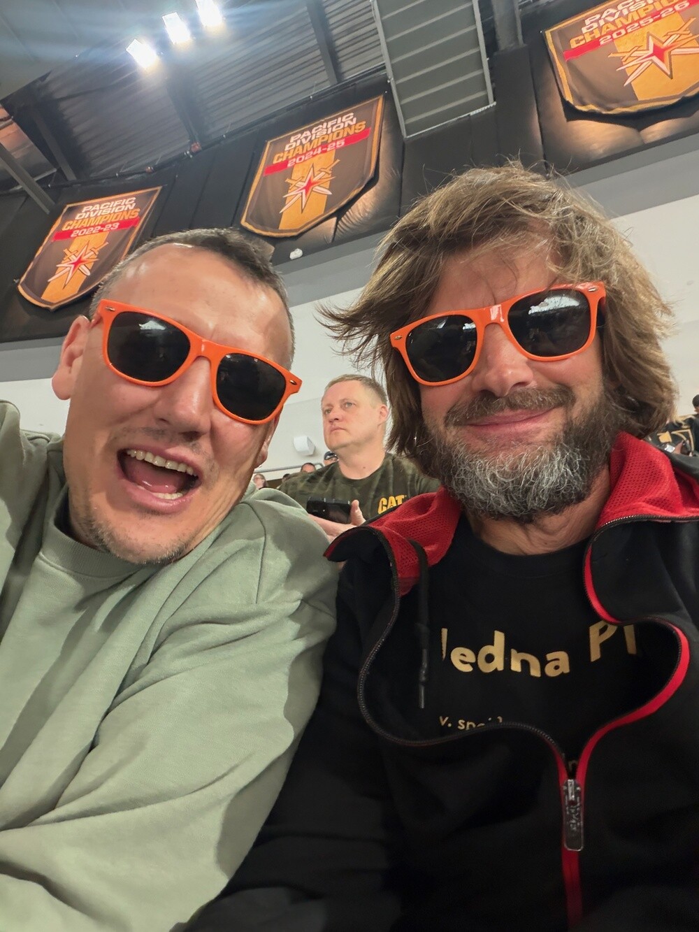
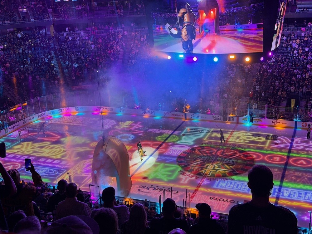
We came down briskly, on the way into town we just waved at Red Rock Canyon through the window and hurried off to the hockey. A quick dinner at Park MGM and by half past six we were sitting in the T-Mobile Arena, all of us in orange glasses. Jeff and Mistry were just a bit away from us.

The Golden Knights were playing the Los Angeles Kings. In the second period Connelly scored a power-play goal for Vegas and four minutes later Panarin equalised, also on the power play. The third period was goalless, so overtime it was. In the third minute Mitch Marner settled it, on the power play again, 2:1 and the arena went wild! Of the Czechs, Tomáš Hertl played for Vegas, no point for him this time. No Czech took to the ice for the Kings.

After the game we took a walk along the Strip past New York and Excalibur and then off to the Airbnb. There was still something left in the keg and leaving it there would have been a sin 🙂. We drank it up and dug out old stories, with some of them we laughed so hard we couldn't breathe. Just before midnight it started to rain. At the time we didn't think much of it. We had no idea the rain would be chasing us for the next three days.

Mount Charleston
Charleston Peak (3,633 m) is the highest mountain of the Spring Mountains and of Clark County, which Las Vegas belongs to. The area has been protected since 1993 as the Spring Mountains National Recreation Area. Kyle Canyon is less than an hour's drive from the Strip, but thanks to the altitude it's noticeably cooler here and instead of desert there's a conifer forest, with bristlecone pines up top, which live for thousands of years.

Red Rock Canyon
In 1990 it became the first National Conservation Area in Nevada. It covers about 800 km² and is roughly 25 km from the Strip. The red and cream cliffs are petrified Jurassic desert dunes, onto which much older grey limestone was thrust along the Keystone Thrust fault. A 21 km long one-way scenic road runs through the area.

Las Vegas Strip and T-Mobile Arena
The Strip is a roughly seven-kilometre stretch of Las Vegas Boulevard with the biggest hotels and casinos. The T-Mobile Arena between the New York-New York and Park MGM hotels opened in April 2016. It's home to the Vegas Golden Knights hockey team, which entered the NHL in 2017 and won the Stanley Cup in 2023.

Sunday 11/10/2026, Boulder City, Hoover Dam, Route 66, Seligman

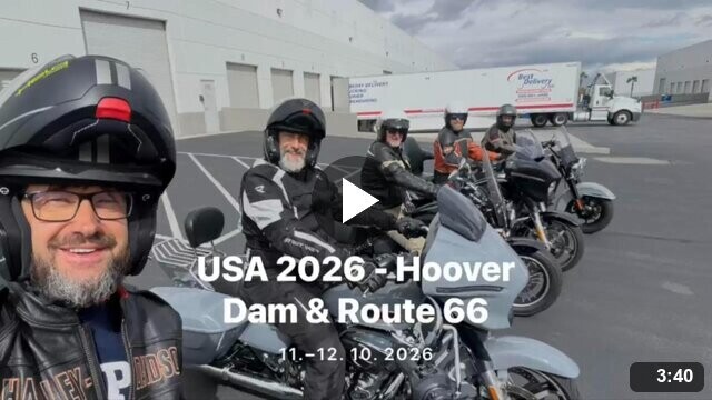
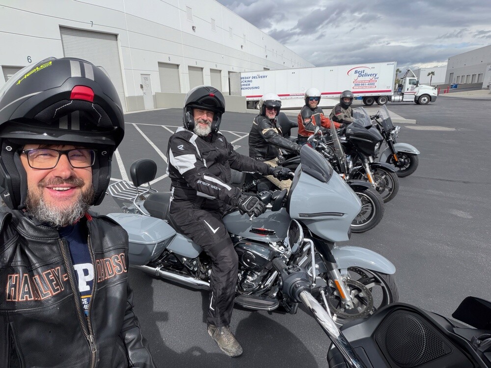
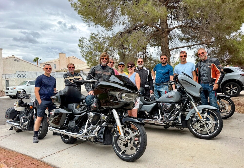
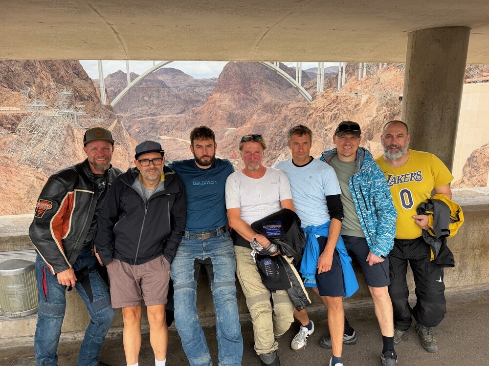
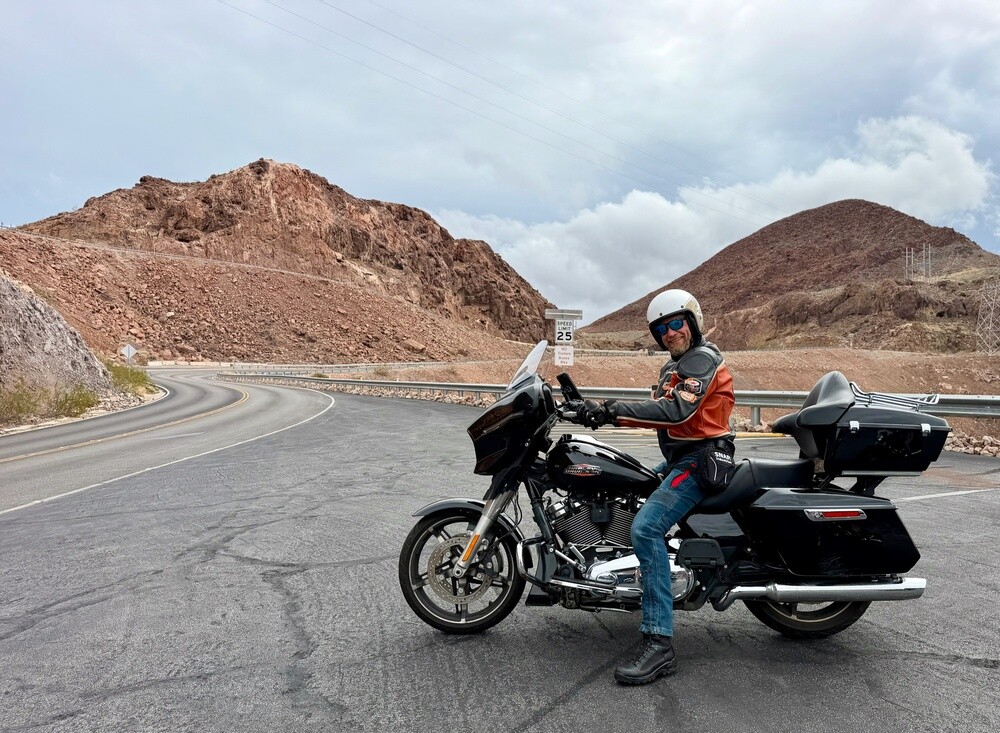
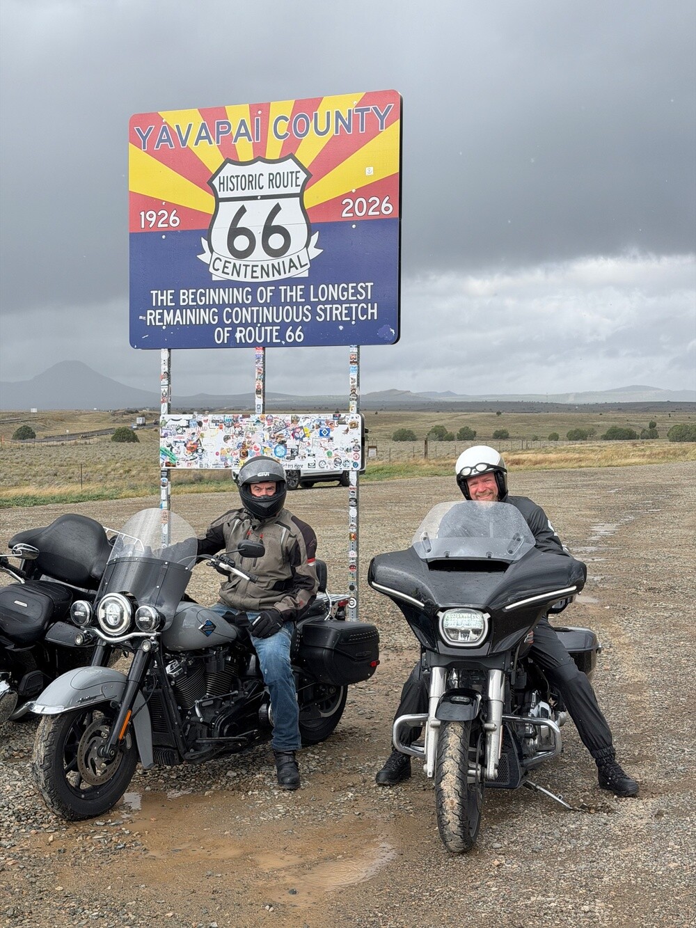
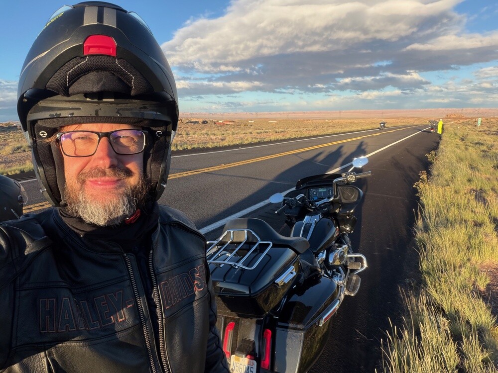
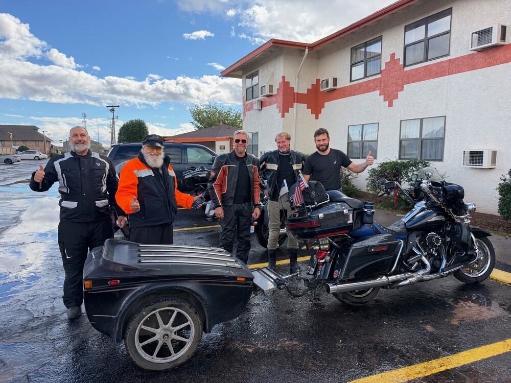
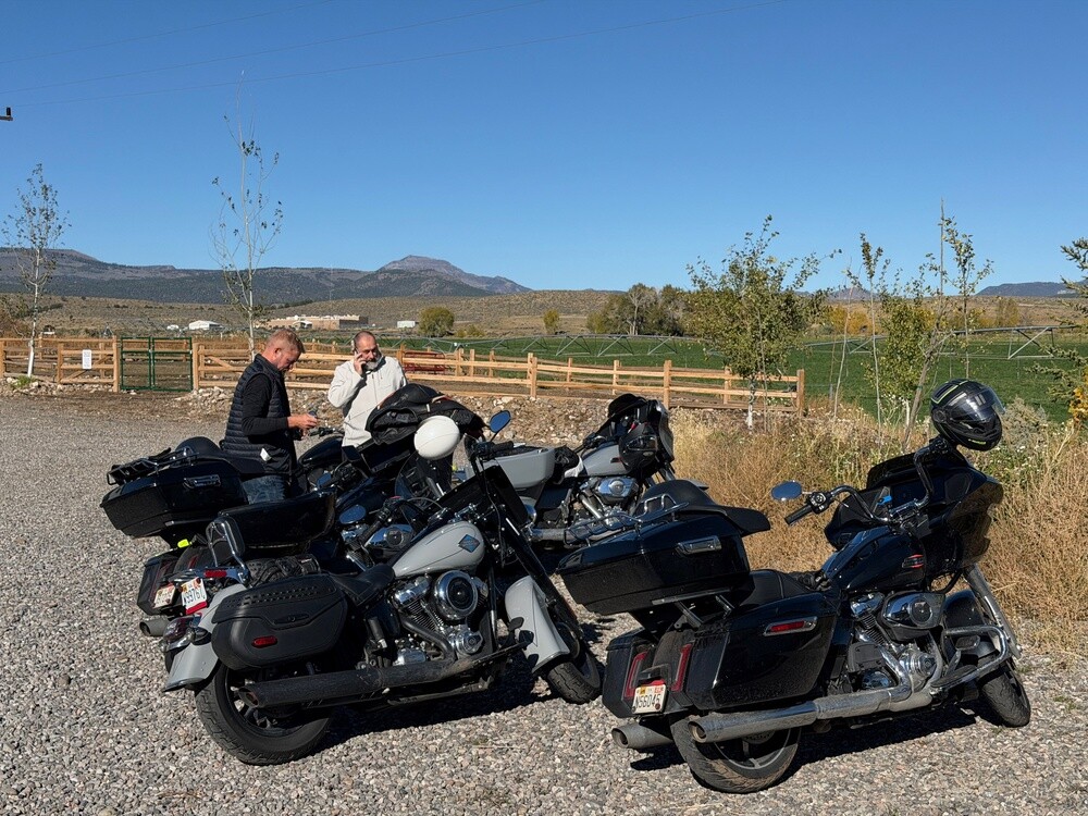
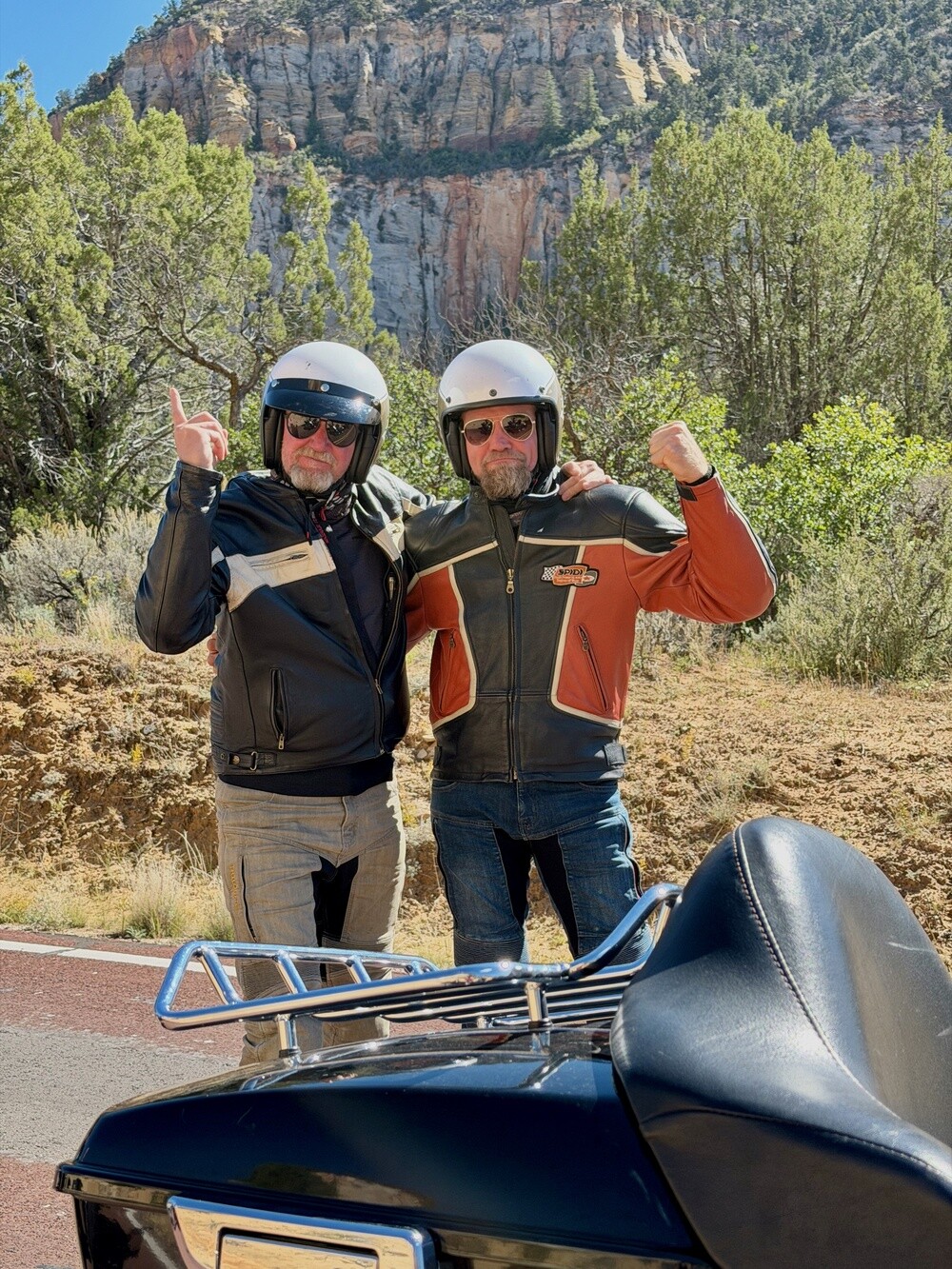
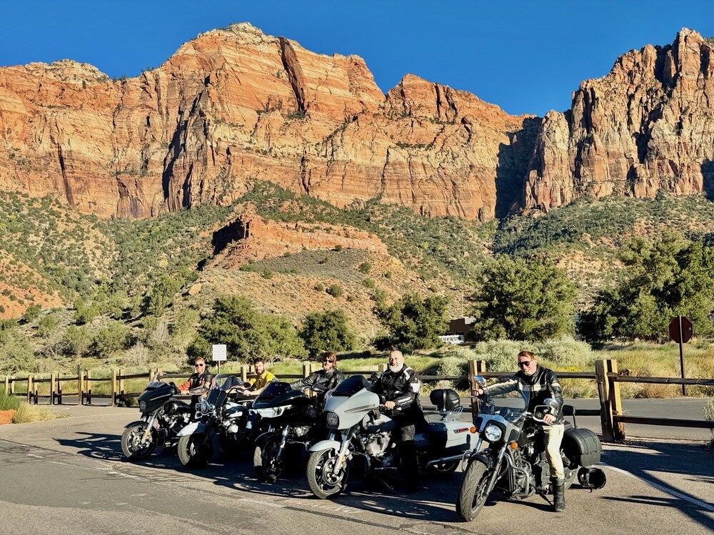
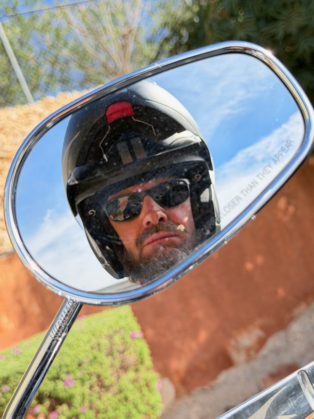
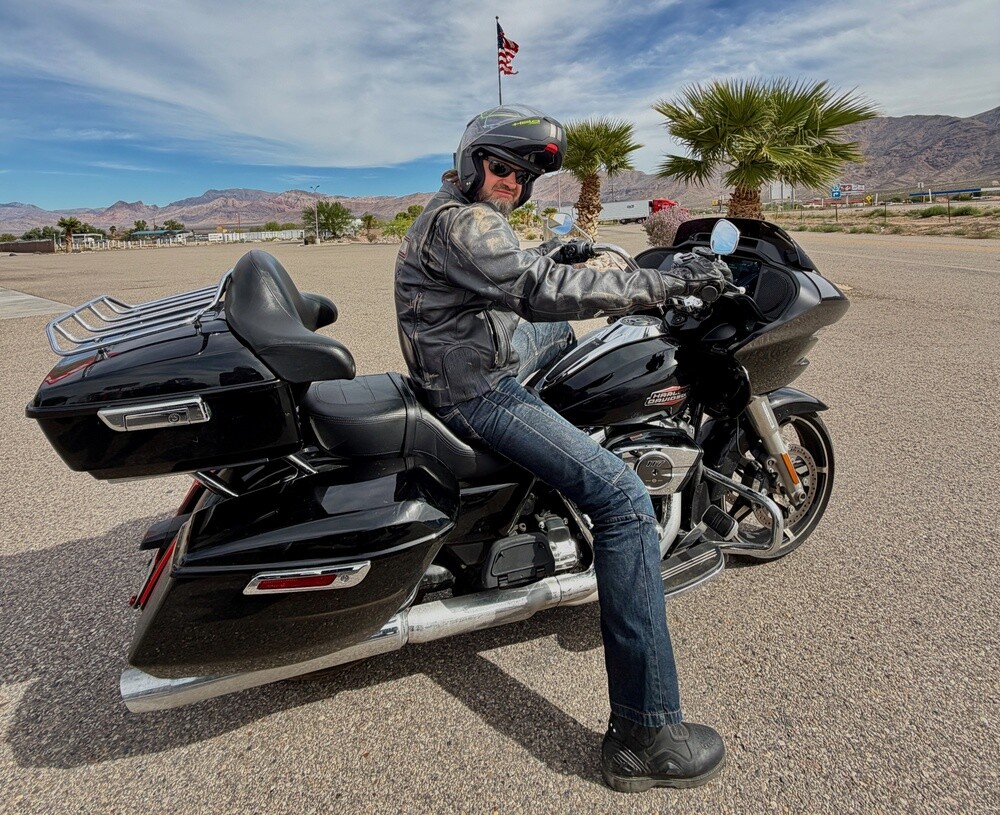
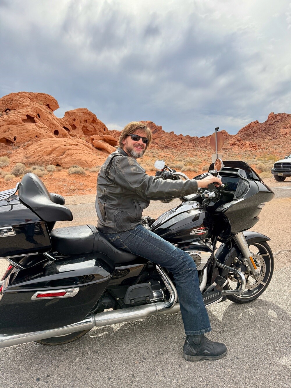
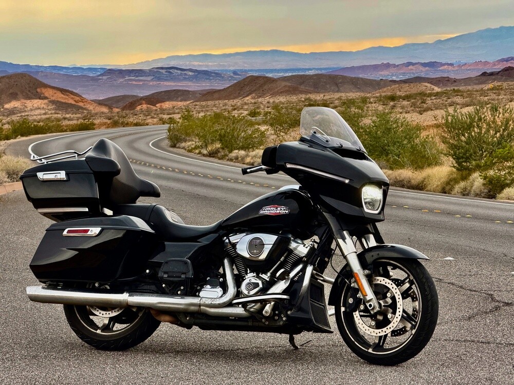
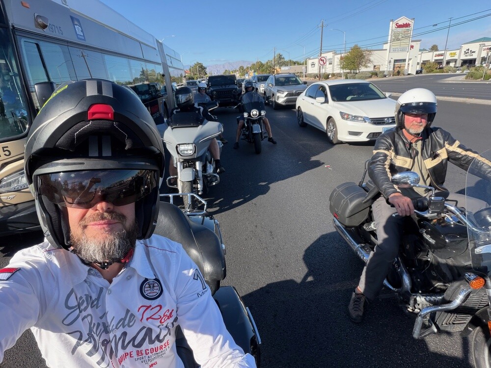
In the morning we drove to EagleRider Las Vegas to pick up the bikes. Five of us are riding: me, Juris, Kuzma, Zero and Dave. The other four are following us in the car. None of us owns a Harley and nobody's ever properly ridden one, so getting to know a machine that weighs 415 kilos was a right laugh 😄. First we did a few laps around the parking lot just to tame the beasts, and only then did we head out of town.

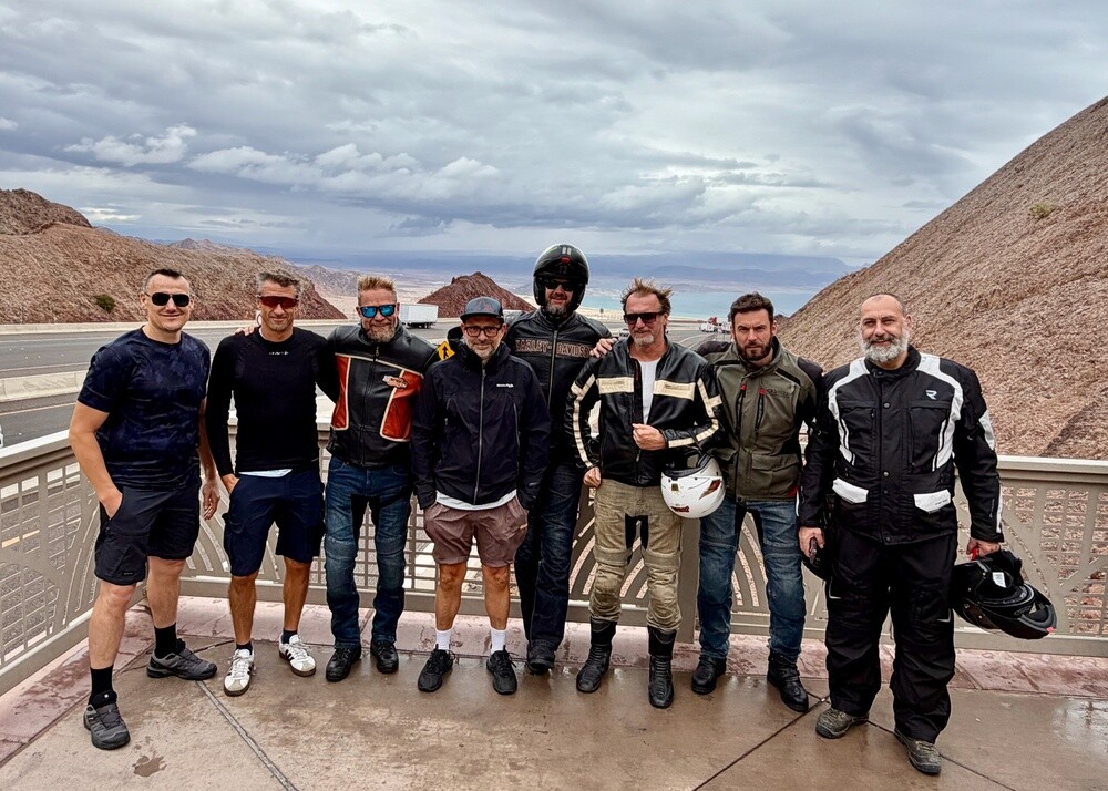
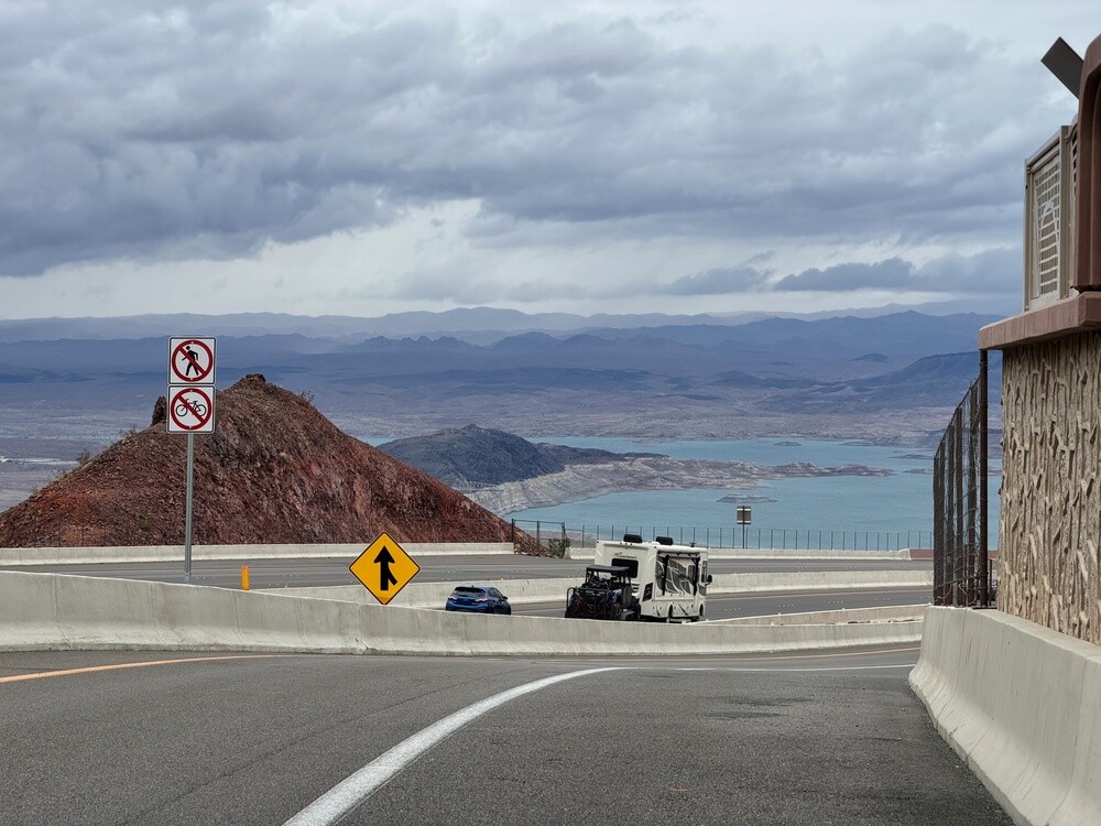
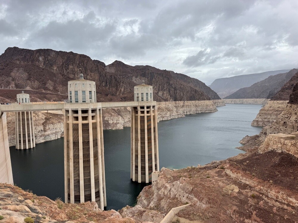
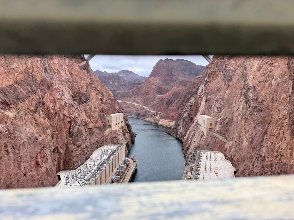
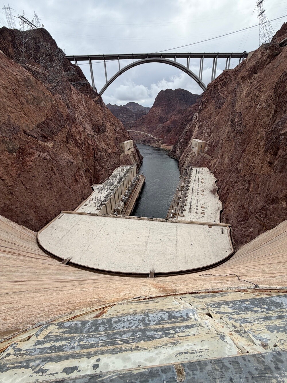
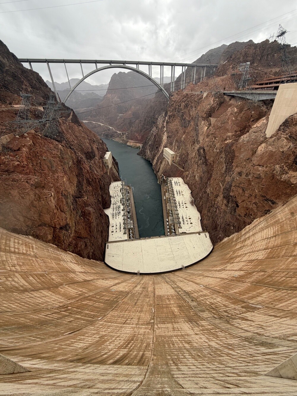
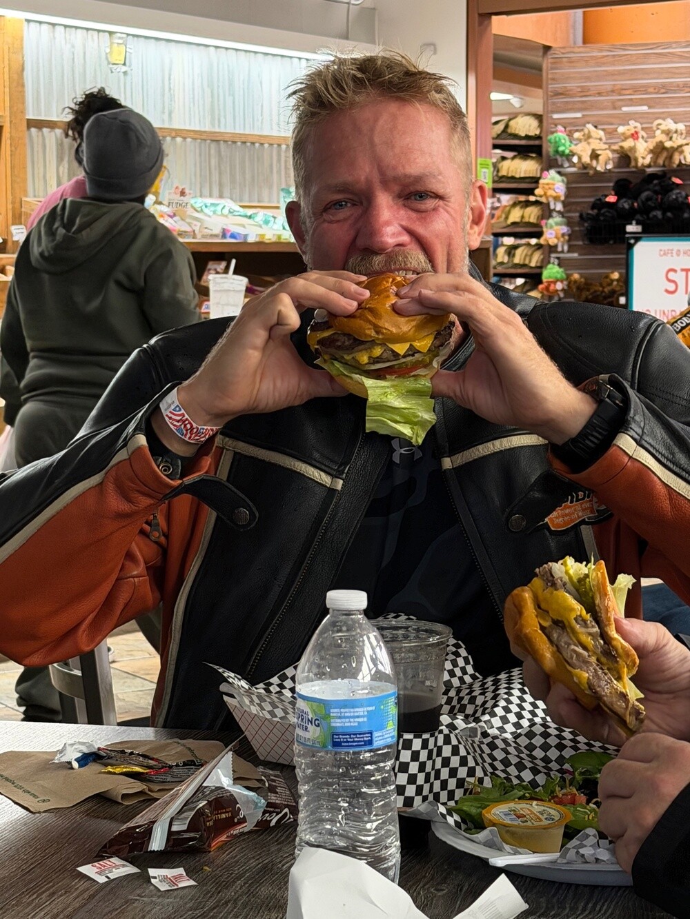
On the way we stopped above Lake Mead near Boulder City and before long the Hoover Dam appeared on the horizon. And with it, rain again. We took it as a sign and first hid out over a hamburger. Then we did the full tour of the dam and the power plant: tunnels inside the wall, giant generators and views out of the little windows in the wall. By the entrance stands a statue of a high scaler, a guy hanging on a rope above the canyon. Those were the men who cleaned the rock faces during construction, and you'd need a strong stomach to look down from up there.

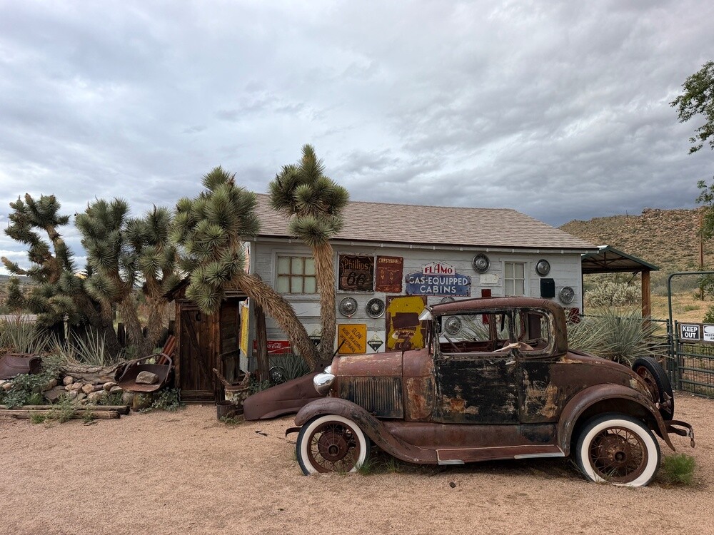
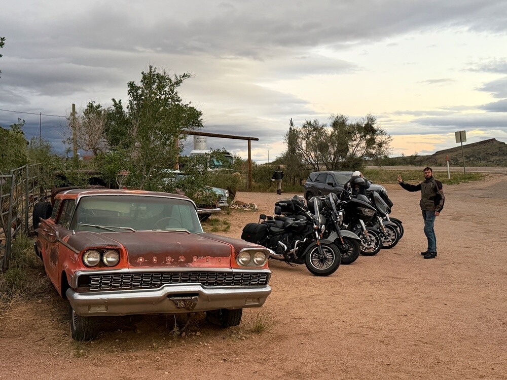
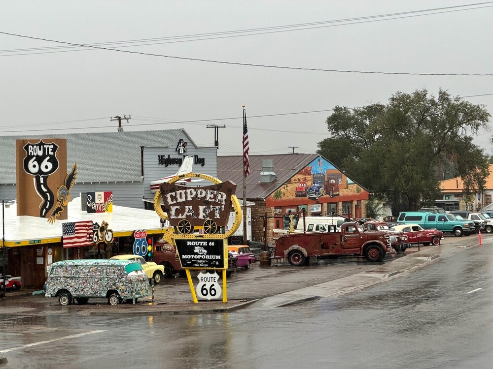
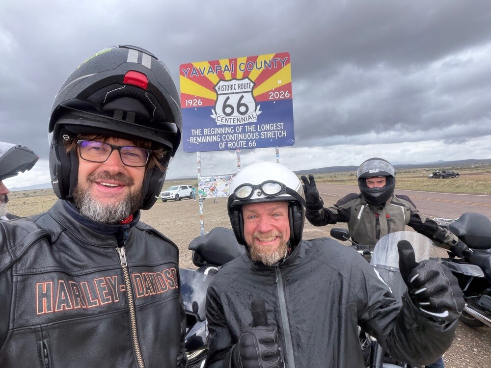
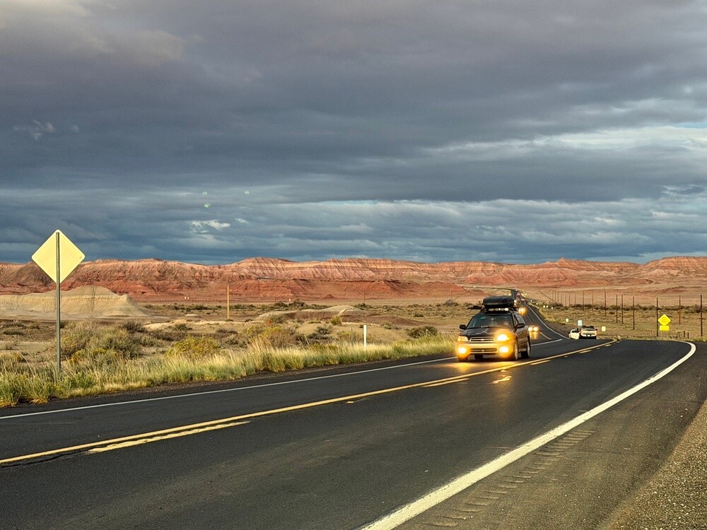
Only we hung around so long that we got to Route 66 almost after dark. We still managed a few photos though, mainly in Hackberry by the old store with the rusty cars and vintage gas pumps. The rest of the way to Seligman, about eighty kilometres, we rode in the dark.

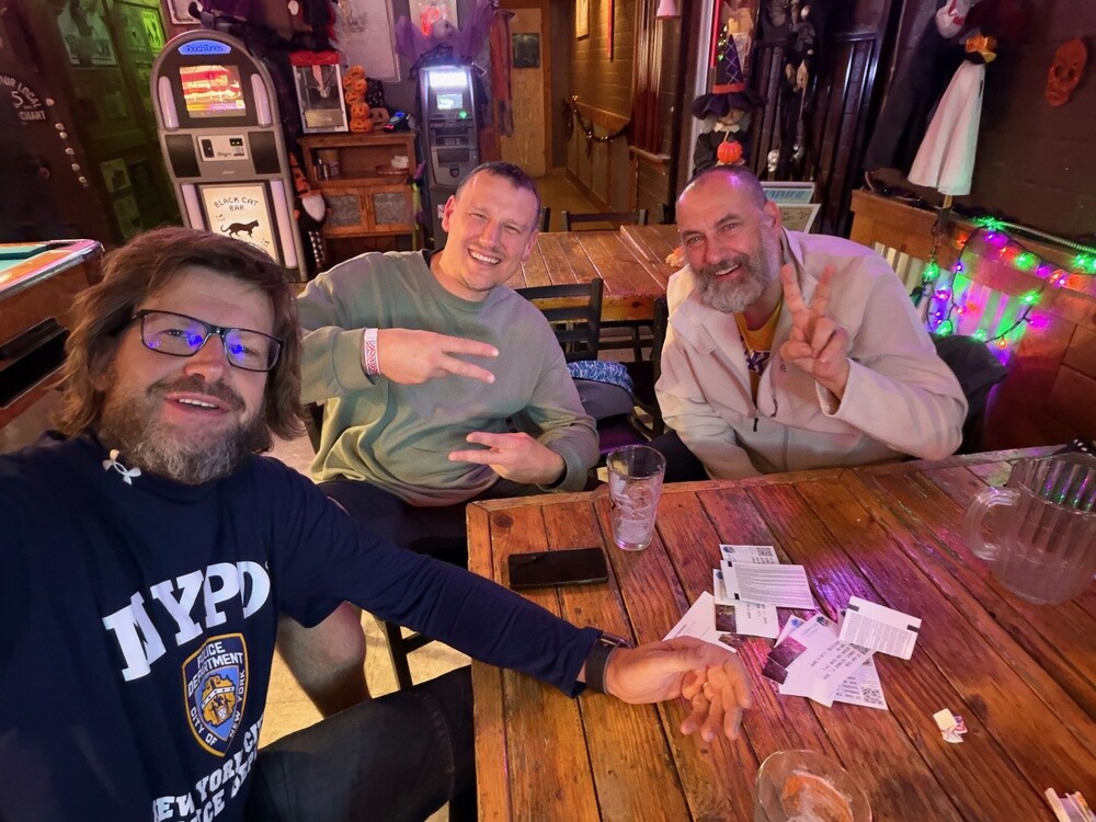
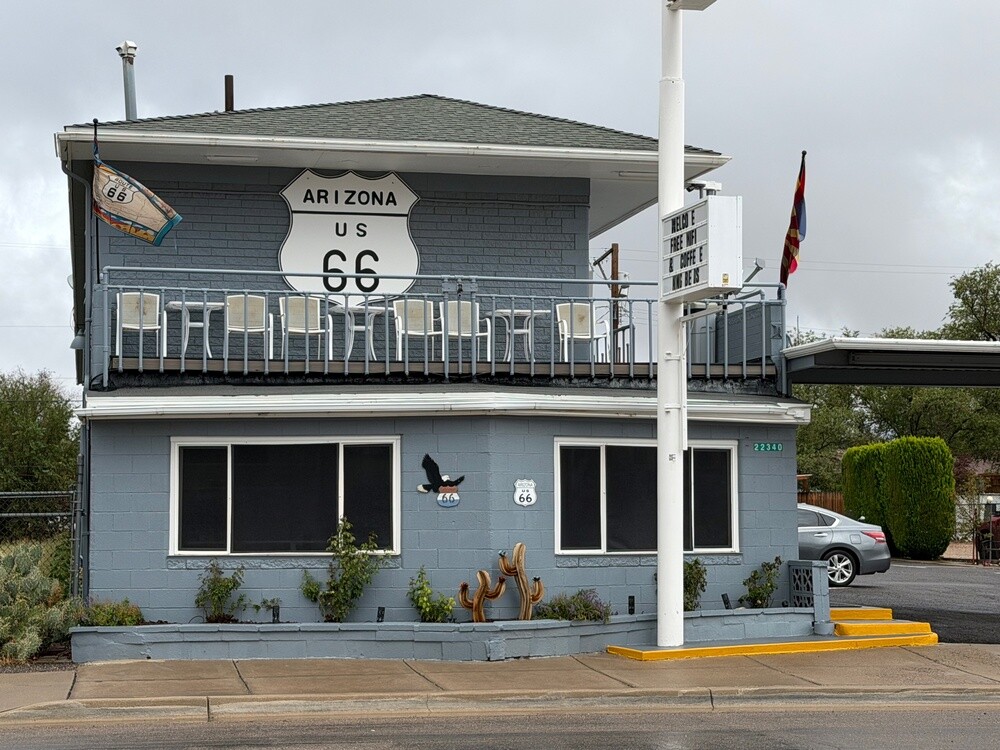
The motel in Seligman is done up entirely in the style of the cartoon Cars and it really does look like Radiator Springs in there. Right next door is a great bar run by a young Native American woman. The beer flowed until one in the morning and the old stories came out one after another. We were probably waking up half of Seligman with our roaring laughter 😄.

Boulder City
The federal government built the town in 1931 for the workers on the Hoover Dam and administered it until 1960. To keep the construction on schedule, alcohol and gambling were banned here. Casinos are still not allowed to this day, which is an exception in Nevada. About 15 thousand people live here.

Hoover Dam
This concrete dam on the Colorado River on the Nevada–Arizona border was built between 1931 and 1936. It is 221 metres high and swallowed over 2.5 million m³ of concrete. The reservoir behind it, Lake Mead, is the largest reservoir in the USA when full. Just below the dam, the Mike O'Callaghan–Pat Tillman Memorial Bridge has spanned the river since 2010, about 270 metres above it.

Route 66
The road opened in 1926 and ran roughly 3,940 km from Chicago through eight states to Santa Monica. In the 1930s, farming families from lands ruined by the dust storms headed west along it, and John Steinbeck calls it the Mother Road in The Grapes of Wrath. From 1956 it was gradually replaced by the interstates and in 1985 it was removed from the federal highway system. The longest continuous preserved stretch, about 255 km, runs through Arizona between Seligman, Kingman and Topock.

Seligman
The little town sprang up in 1886 beside the railroad and is named after the Seligman bankers, who financed the building of the line. After Interstate 40 opened in 1978, it lost most of its traffic. In 1987 the local barber Angel Delgadillo founded an association thanks to which Arizona declared Route 66 a historic highway. Seligman was one of the models for Radiator Springs in the film Cars (2006).

Monday 12/10/2026, Ash Fork, Williams, Grand Canyon, Tuba City

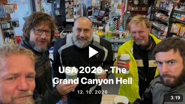
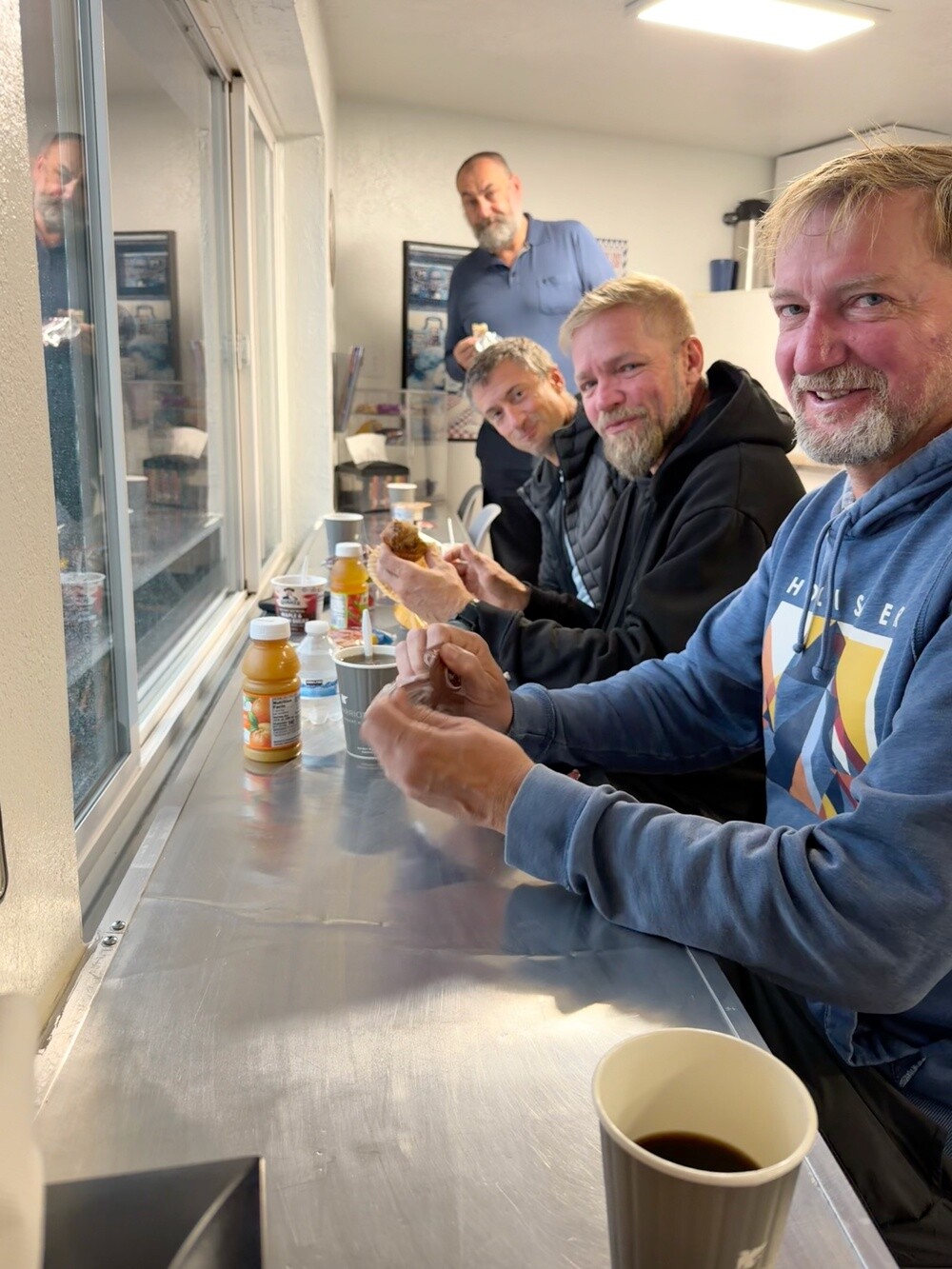
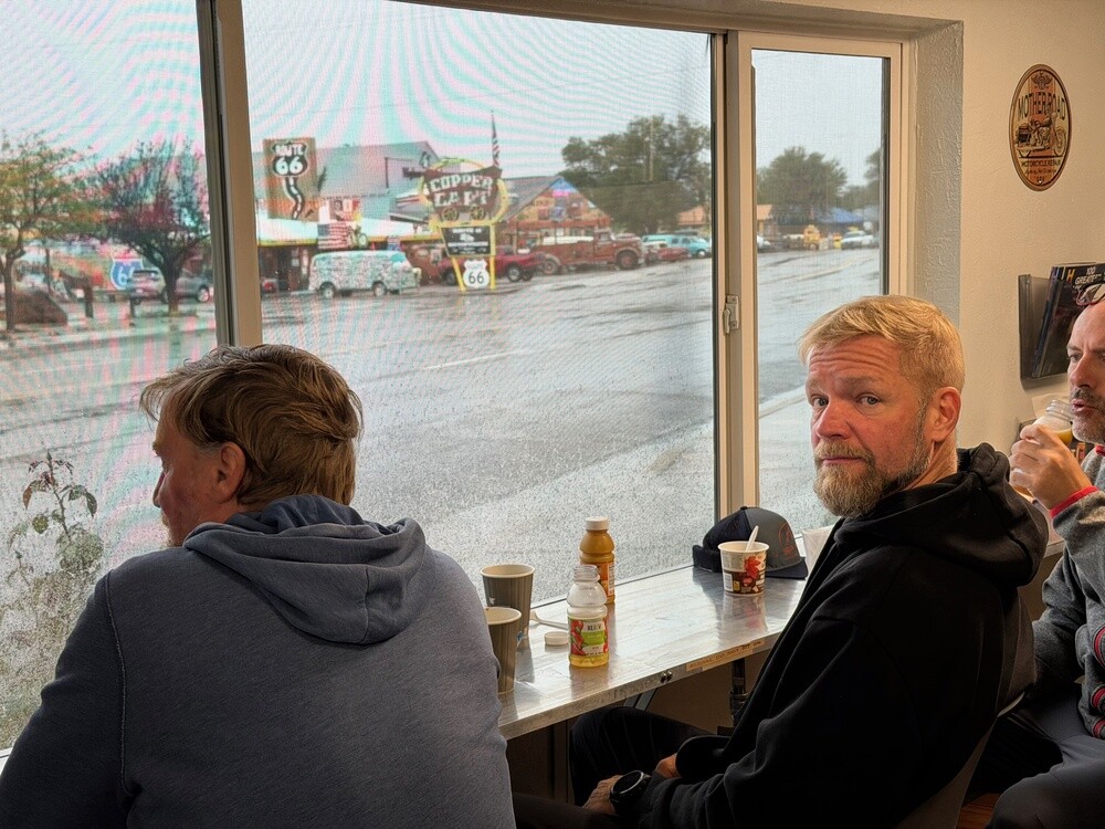
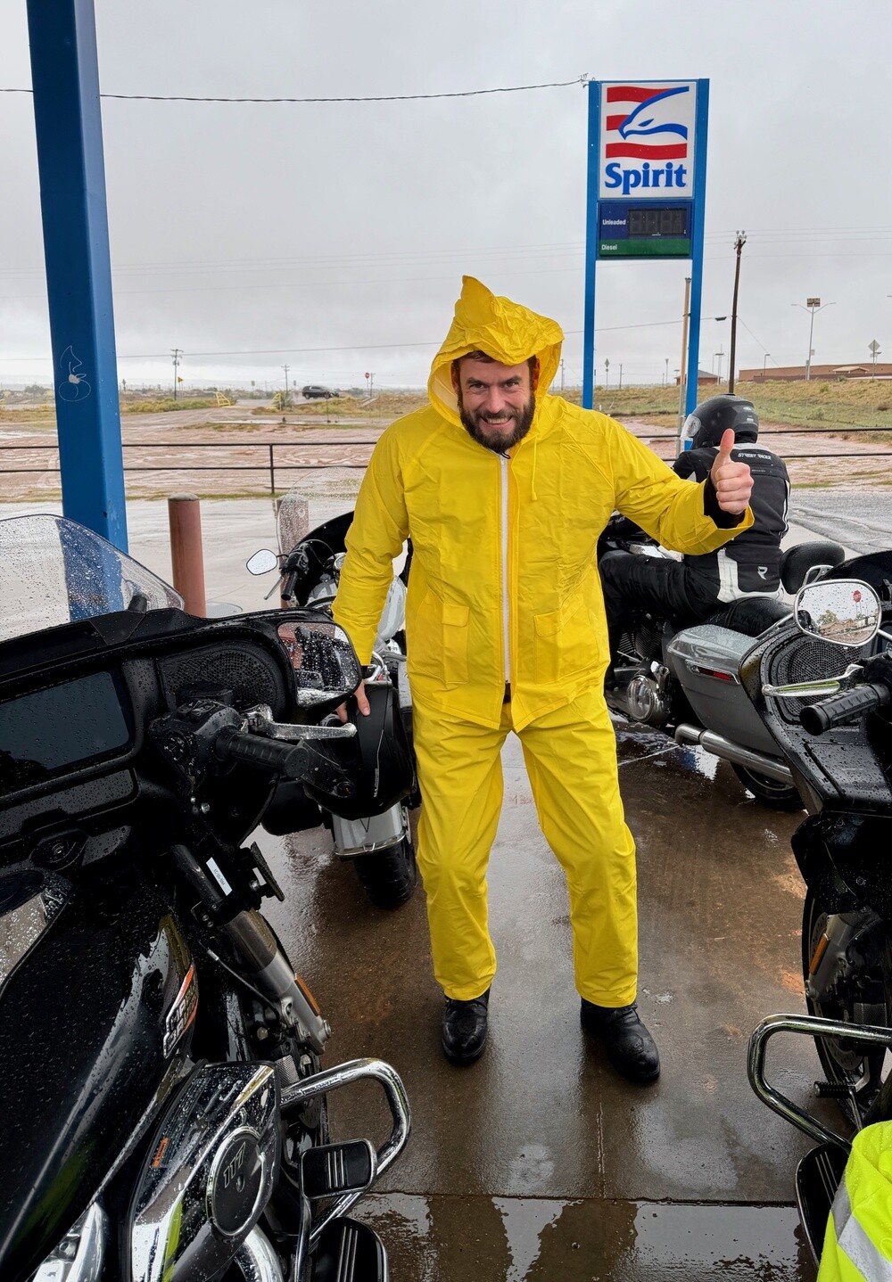
It was raining in Seligman in the morning, and still raining after breakfast. After ten we gave up and set off into the rain. Through Ash Fork and Williams it was all the same: water from above, water from below and wet asphalt in the forest. At the gas station in Williams we at least sheltered under the canopy for a while, next to a statue of an elk.

We arrived at the Grand Canyon soaked through and frozen. The visitor centre saved us, we found heating there and stuck to it like lizards on a rock 😄.

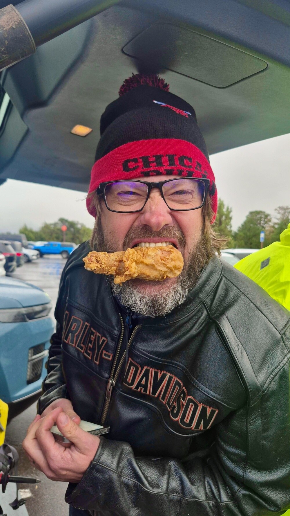
Jeff was chasing us pretty much all day. His car broke down the evening before, so he had to set off in a different one in the morning and catch us up. On the plus side he brought fried chicken, which we wolfed down right in the parking lot by the canyon.

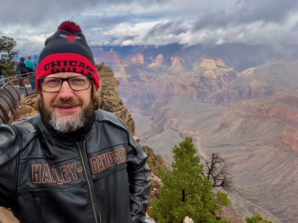
When the clouds parted a bit, we climbed up to the viewpoints and took pictures of the Grand. A rainbow even appeared over the canyon for a moment! Then straight off towards the hotel in Tuba City. That was at least another two hours of riding and although it wasn't raining anymore, it was pissing down like hell instead.

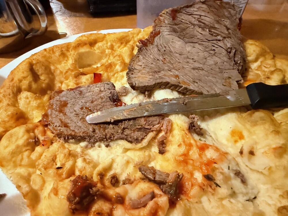
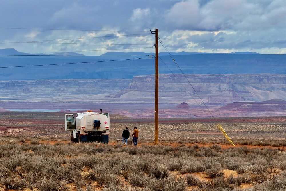
We got to Tuba City around half past seven looking forward to a few decent beers and something hot. Except Tuba City lies in the Navajo Nation and you can't buy alcohol here at all. So just coffee to warm up. Then dinner came as a blow, definitely the most disgusting food of the whole trip: Native food, a dry flatbread with totally dried-out beef. See the photo, I'm not kidding 😄.

Ash Fork
This little town on Route 66 came into being in 1882 during the building of the railroad and is named after the ash trees at the fork of the creeks. It calls itself the Flagstone Capital of the USA, because flat sandstone for paving and cladding is quarried in the area.

Williams
The town, founded in 1881, bears the name of the mountain man and fur trapper Bill Williams. It was the last town on Route 66 to be bypassed by Interstate 40, which happened on 13 October 1984. Since 1901 the Grand Canyon Railway train has run from here to the South Rim of the Grand Canyon.

Grand Canyon
Over the last five to six million years the Colorado River has carved out a canyon 446 km long, up to 29 km wide and over 1.8 km deep. The oldest rocks at the bottom are almost two billion years old. Theodore Roosevelt declared it a national monument in 1908, it has been a national park since 1919 and on the UNESCO list since 1979. The South Rim lies at an altitude of around 2,100 metres.

Tuba City
The largest community in the western part of the Navajo Nation, about 8 thousand inhabitants. It is named after the Hopi chief Tuuvi. The reservation covers over 70 thousand km² and, unlike the rest of Arizona, it observes daylight saving time, so from spring to autumn the time here is an hour different from the surrounding area.

Tuesday 13/10/2026, Page, Horseshoe Bend, Glen Canyon Dam, Kanab

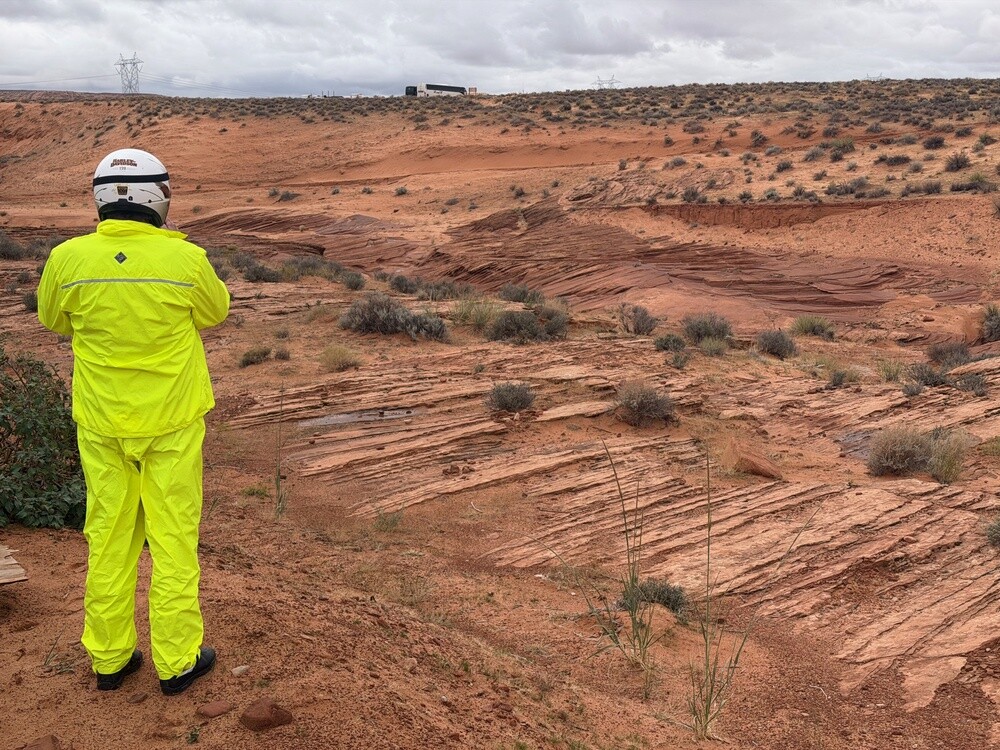
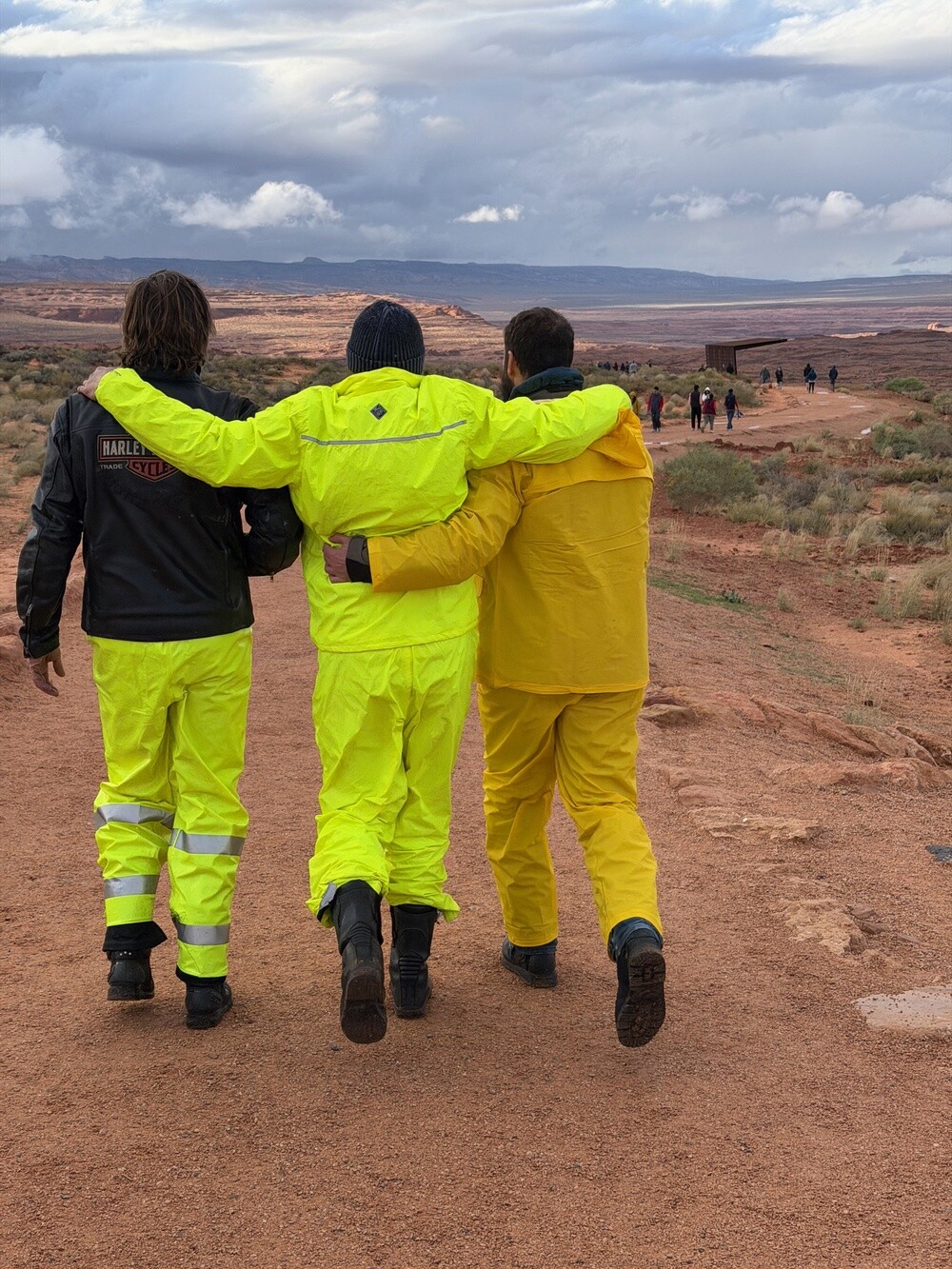
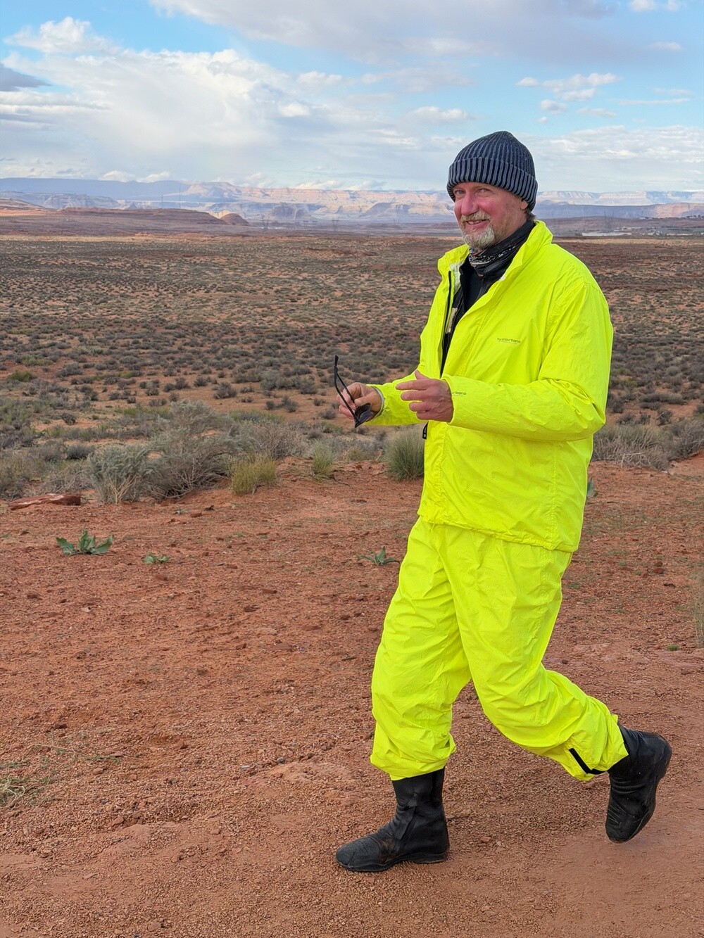
In the morning Dave and I headed to the local hardware store and bought waterproof trousers for riding. Bright green ones, originally meant for firemen 😄. In the rain on a bike you just don't play at fashion.

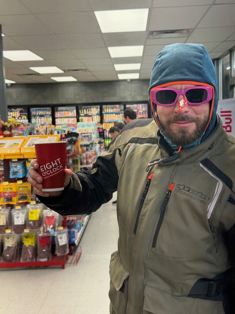
Then another whole day from gas station to gas station. A big hot coffee at each one to warm up and on we go, it was pissing down and pissing down. At one Native-run gas station in Kaibito we had fried chicken again. We joked that this is exactly the right kind of restaurant for a bunch of rich Europeans touring America.

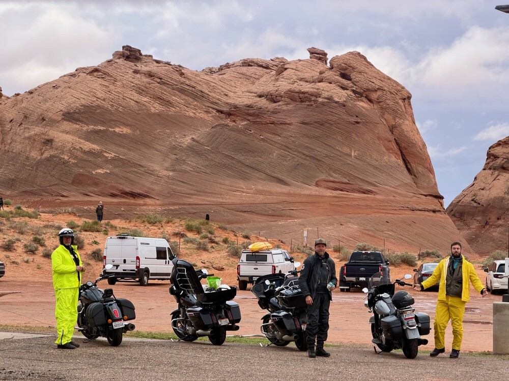
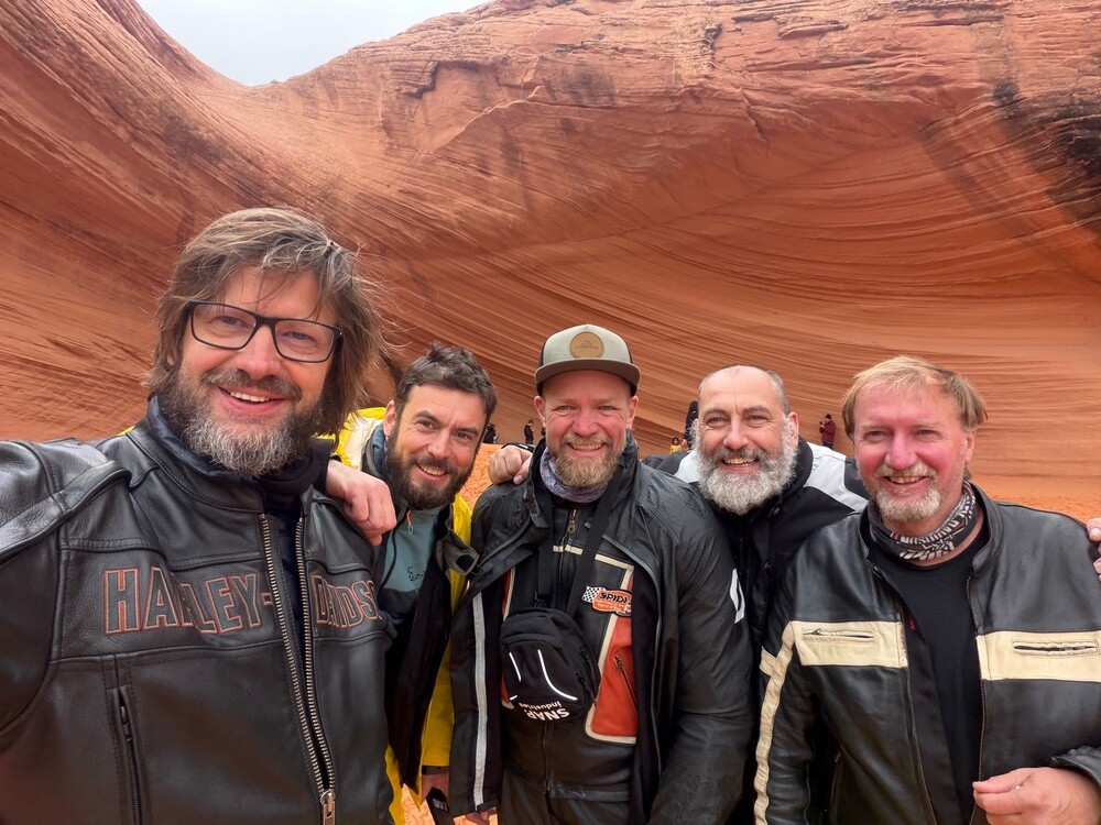
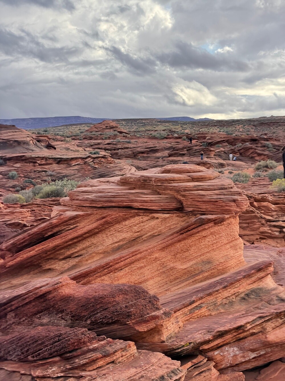
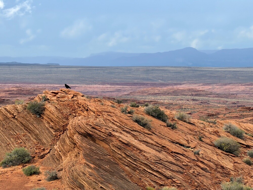
Near Page we rode past Antelope Canyon, only there was no room left on the tour. So at least we took pictures by the red rock next to the parking lot. There's wavy sandstone there too 🙂.

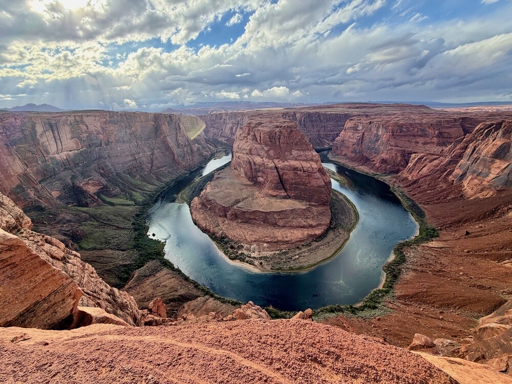
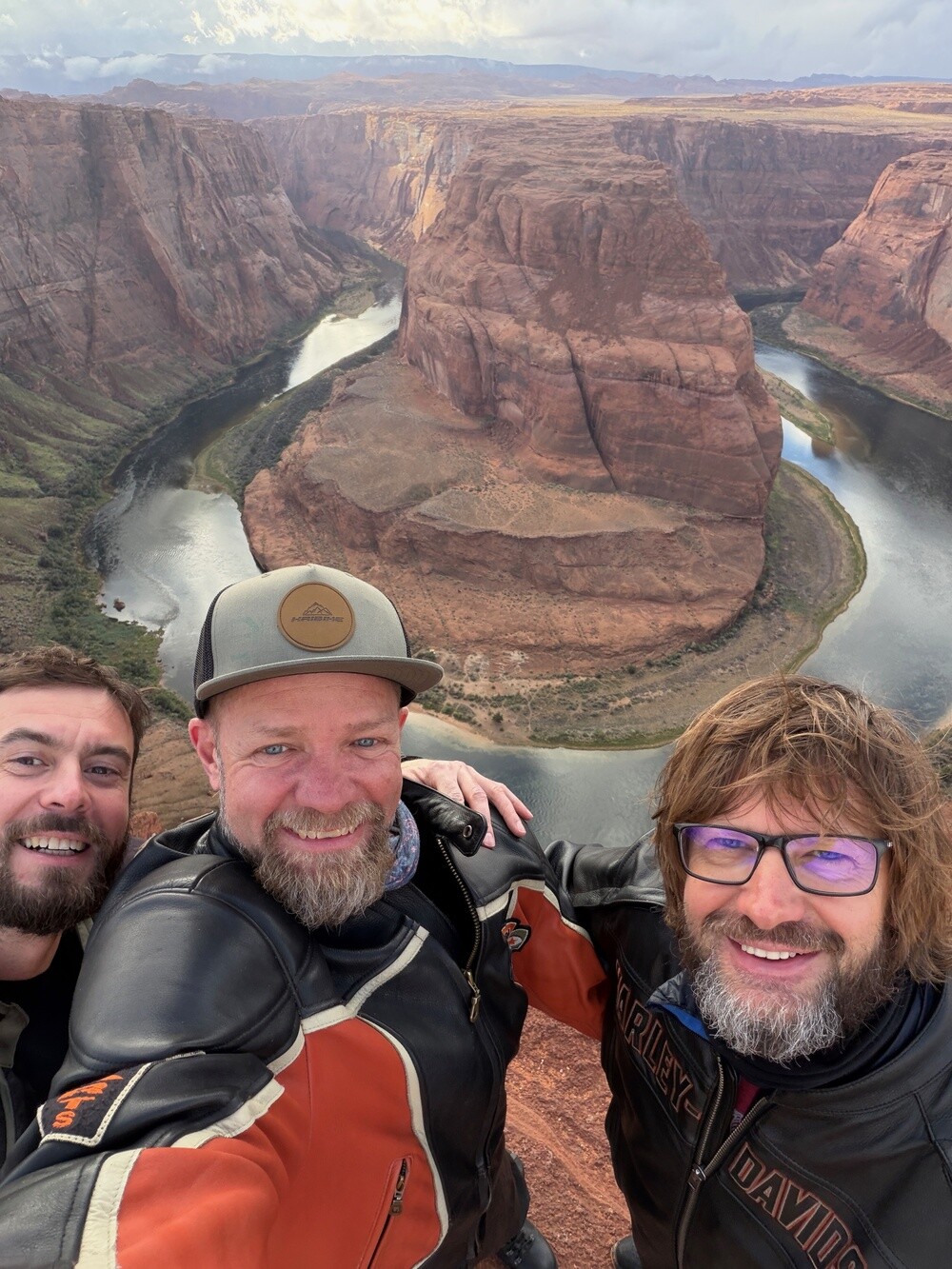
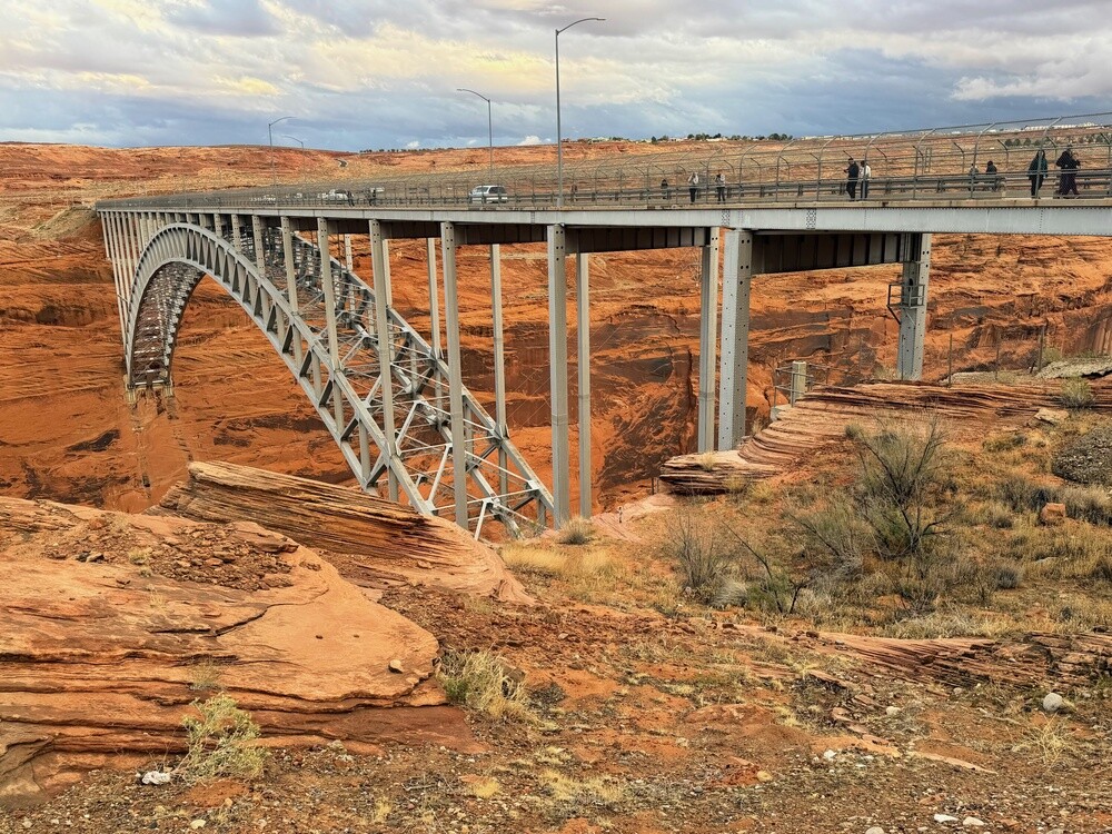
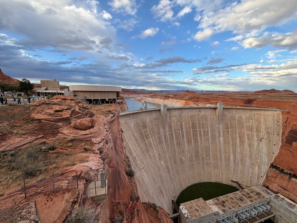
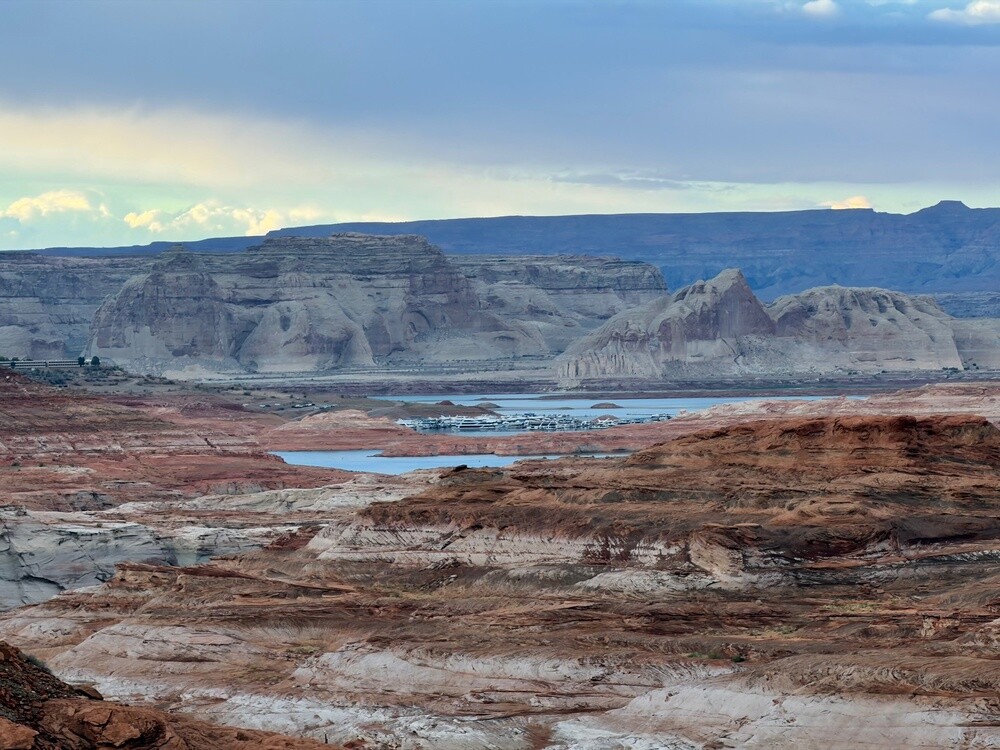
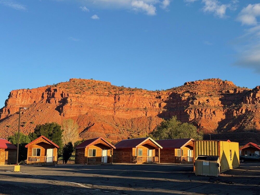
In the afternoon, Horseshoe Bend. A walk through the sand to the viewpoint and then the sight of the river curving into a horseshoe three hundred metres below us. One more stop at the Glen Canyon Dam and around seven we reached Kanab, already in Utah.

By the way, we could have left our watches in our pockets that day. The Navajo Nation observes daylight saving time, the rest of Arizona doesn't and Utah does again. After lunch we rode from Kaibito to Page and by the clock we were almost there before we set off. In the evening in Kanab, Utah took that hour back off us. A day when we reset the time twice and still weren't on time for anything 😄.

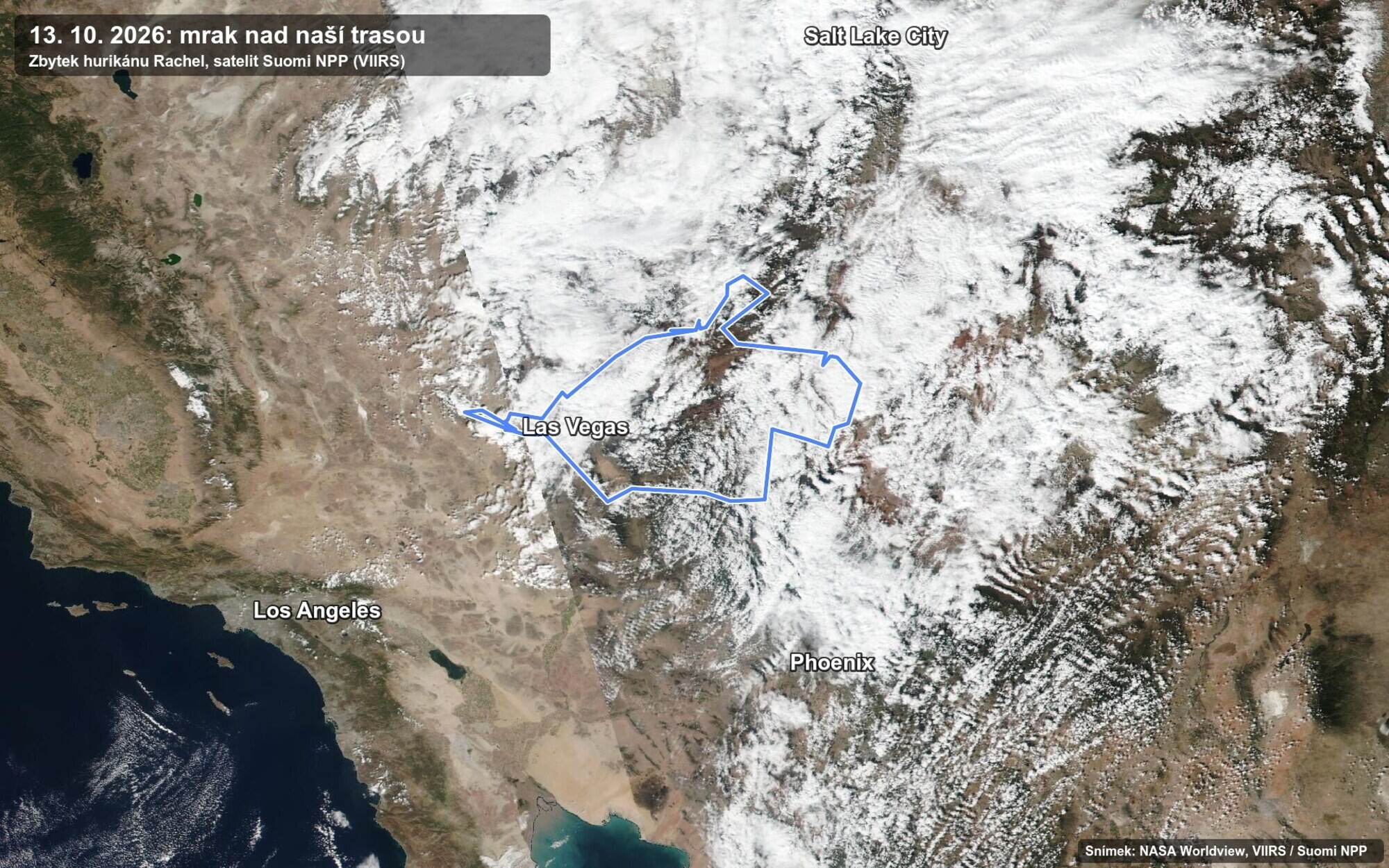
In the evening in Kanab we checked the radar and it was obvious why it keeps pissing down. The whole time there's a narrow, tall cloud hanging over us that came up from Mexico as the remains of Hurricane Rachel, and it covers practically our entire route. It was originally supposed to be 25 to 32 degrees and we've got cold, rain and 4 to 10 degrees. Heat all around us, only our route tucked under a cloud like a duvet. From the satellite it's even clearer:

Satellite image of the southwestern USA on 13 October 2026 with a belt of cloud over the route
13 October 2026: a belt of cloud over our route (blue line). Image NASA Worldview, Suomi NPP satellite (VIIRS).

Page
The town was founded in 1957 as a camp for the workers building the Glen Canyon Dam, on land the government acquired in a trade with the Navajo. It is named after John C. Page, head of the federal Bureau of Reclamation. About 7,500 people live here and it's the starting point for Lake Powell, the Antelope canyons and Horseshoe Bend.

Horseshoe Bend
This horseshoe-shaped meander of the Colorado River lies about 8 km below the Glen Canyon Dam. The overlook is roughly 300 metres above the river and a path through the sand just under a kilometre long leads to it. When the place filled up with crowds thanks to social media, a railing was added in 2018.

Glen Canyon Dam
The dam was built between 1956 and 1966, it is 216 metres high and holds back Lake Powell, the second largest man-made reservoir in the USA. The lake is named after John Wesley Powell, who in 1869 led the first documented voyage through the canyons of the Colorado. The steel arch bridge by the dam opened in 1959 and runs about 210 metres above the river.

Kanab
This little town in southern Utah was founded by Mormon settlers in 1870. Since the 1920s filmmakers have shot over a hundred westerns here, which is why it's called Little Hollywood. About 5 thousand people live here.

Wednesday 14/10/2026, Bryce Canyon, Panguitch

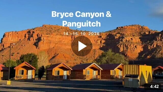
In the morning in Kanab the thermometer showed four degrees above zero. It wasn't raining and the sun was even shining, but still great for riding a bike 😄.

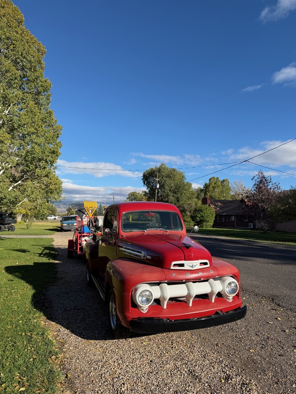
The first stop was breakfast in a proper American diner in Orderville. The lads had been dreaming about those thick pancakes, I was looking forward to steak and eggs and all of us to the bottomless coffee the waitress kept topping up.

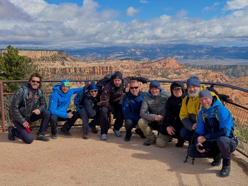
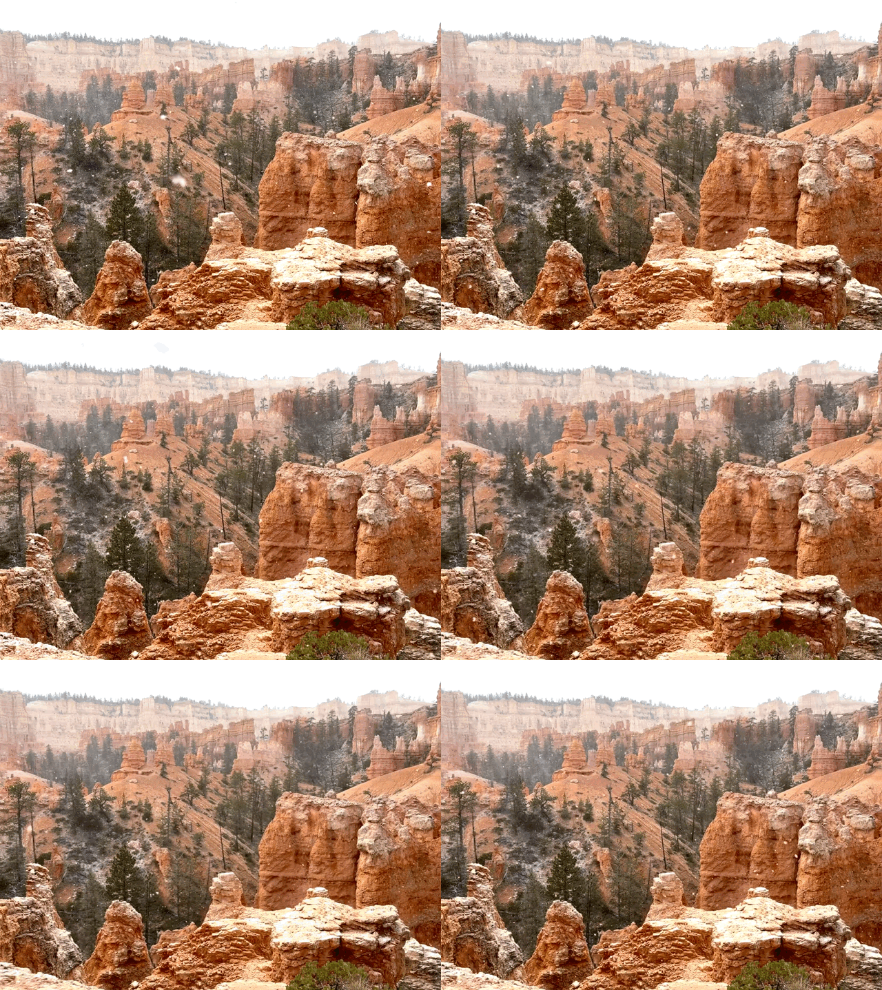
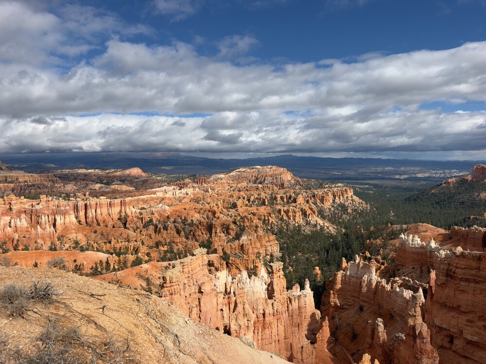
Then we rode the bikes all the way to the Airbnb in Panguitch, dumped our bags there and carried on to Bryce Canyon by car. The Toyota is a seven-seater and there are nine of us, but in that cold nobody fancied getting on a bike anymore. We did the right thing, because it then snowed in Bryce.

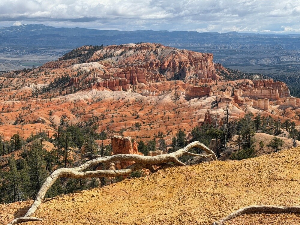
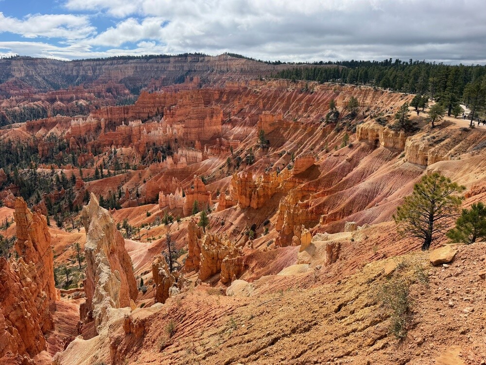
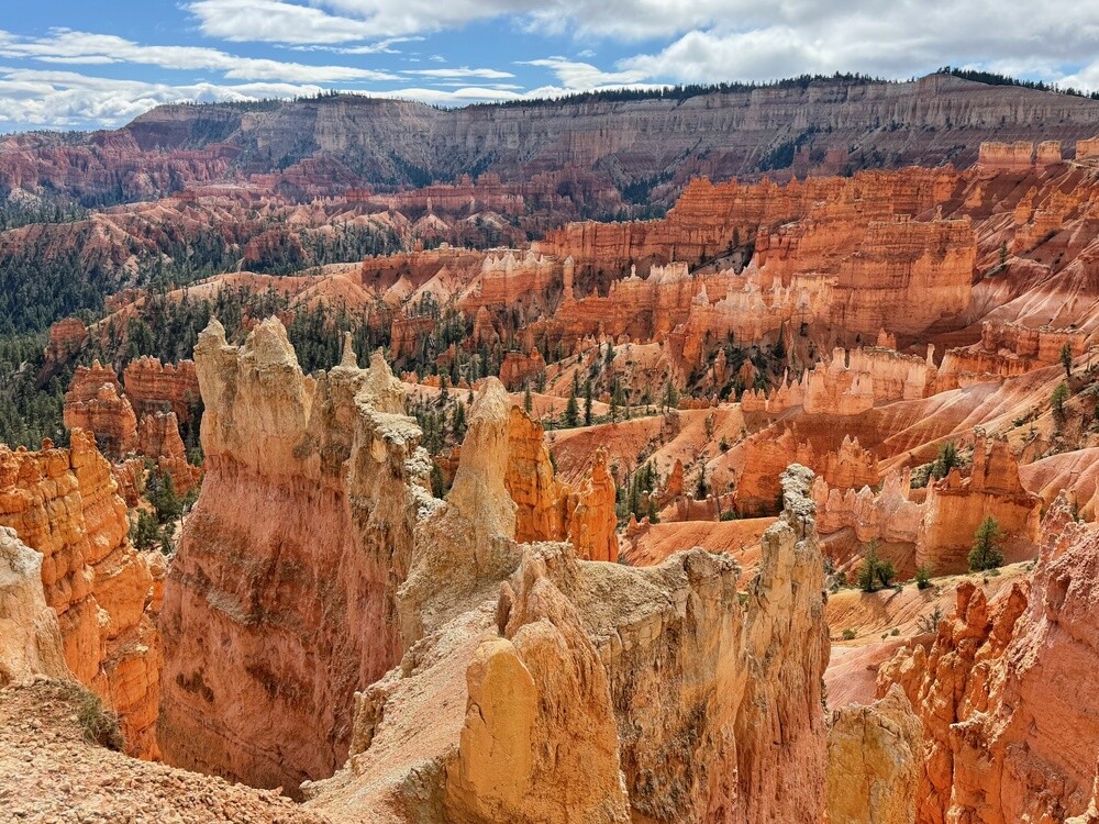
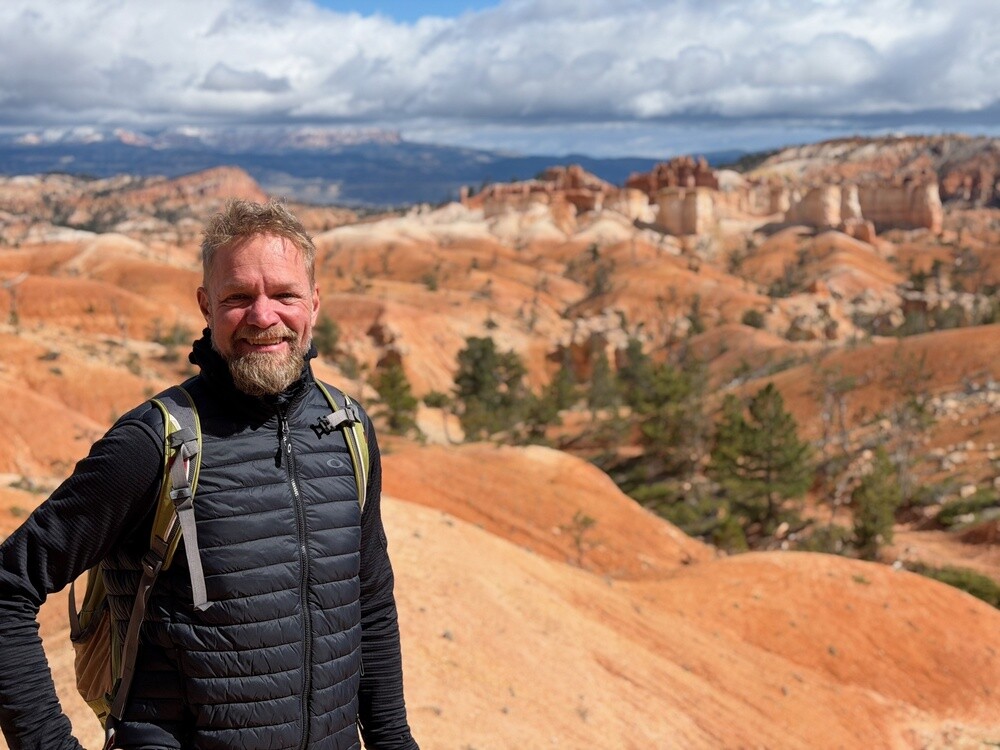
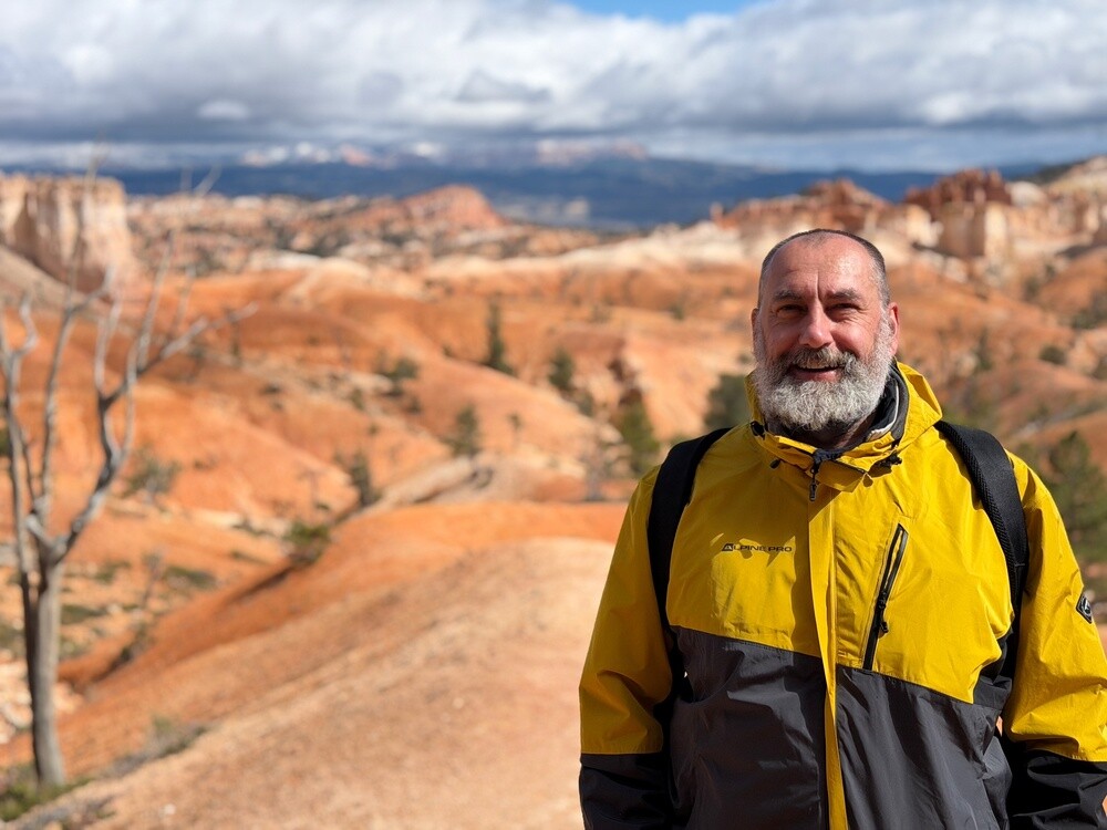
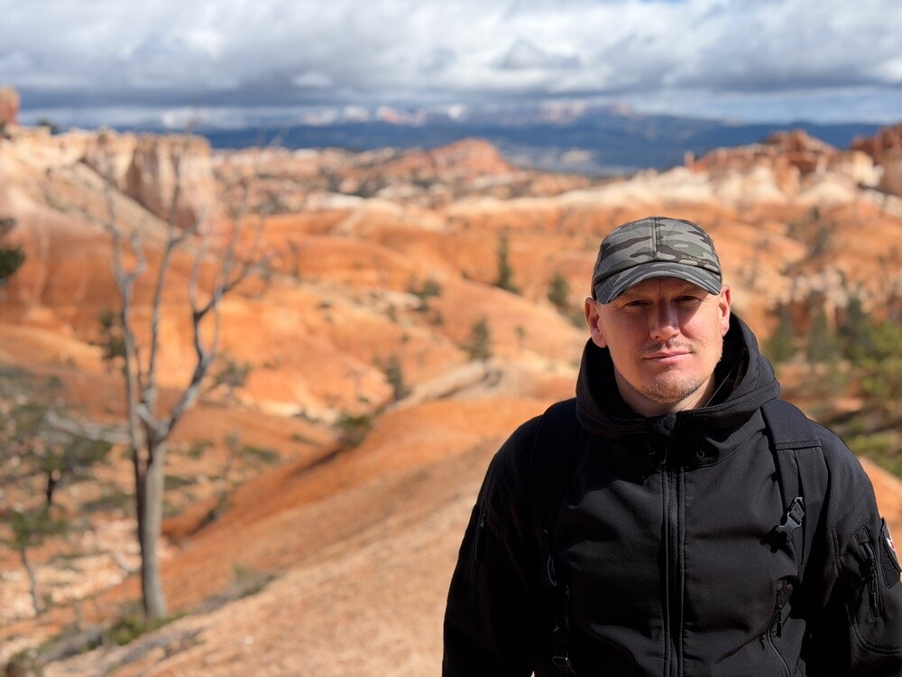
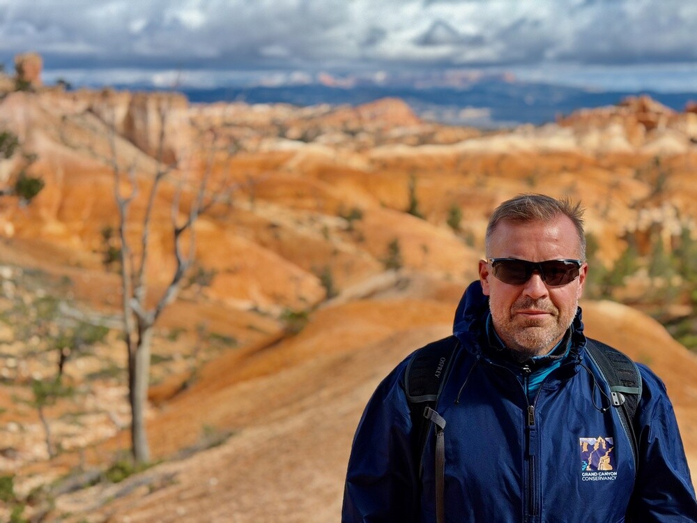
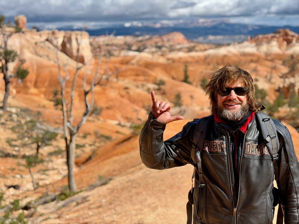
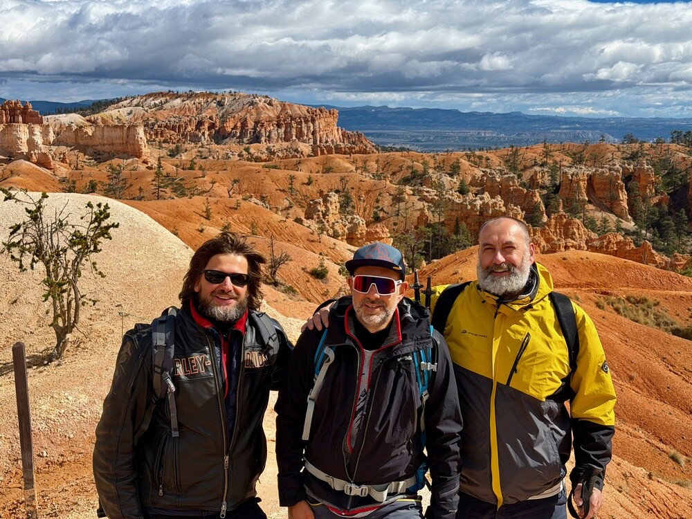
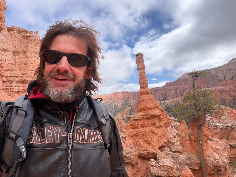
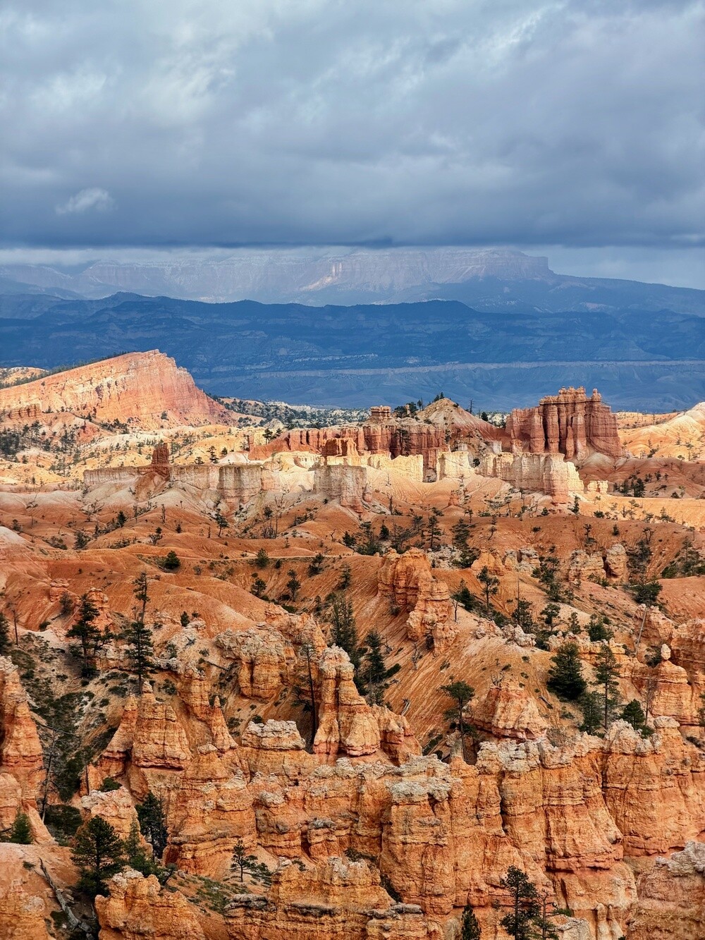
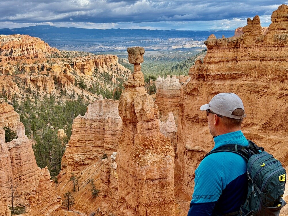
The hike led from Sunrise Point down the Queen's Garden, then along the canyon floor among the orange towers and back up the Navajo Loop to Sunset Point, just under five kilometres. We kept taking photos the whole time until people were laughing at us.

Juris found an absolutely amazing house on Airbnb with a huge living room, a terrace and a hot tub. The party once again dragged on into the early hours and there was no end of laughter.

It's interesting how utterly chilled the whole thing has been the entire time. The atmosphere that builds up among a bunch of blokes is something you just can't recreate in couples.

Bryce Canyon
Bryce Canyon is made up of a series of natural amphitheatres on the edge of the Paunsaugunt Plateau at an altitude of 2,400 to 2,700 metres. The rock towers (hoodoos) are shaped mainly by frost: water in the cracks freezes and thaws on more than 200 nights a year. It is named after the Mormon settler Ebenezer Bryce and has been a national park since 1928.

Panguitch
Mormon settlers founded the town in 1864, abandoned it two years later because of the war with the Indians and resettled it in 1871. The typical houses are built of red brick from the local brickworks. The name comes from the Paiute language and means big fish. About 1,700 people live here.

Thursday 15/10/2026, Panguitch Lake, Zion

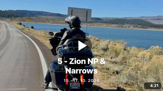
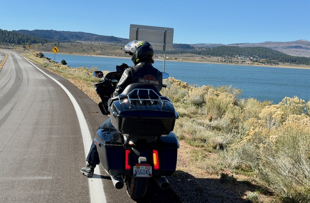
In the morning around Panguitch Lake and down through the forest to Zion. For the bikers I picked the longer route on small mountain roads around Panguitch Lake. Dry tarmac, hairpins, sunshine and nature in deep woods, just the occasional little cluster of cabins like in Alaska. An absolutely cracking road for motorbikes.

At the east gate of Zion National Park there was a queue and the gate was shut. Why, that became clear only when a helicopter took off above the rocks.

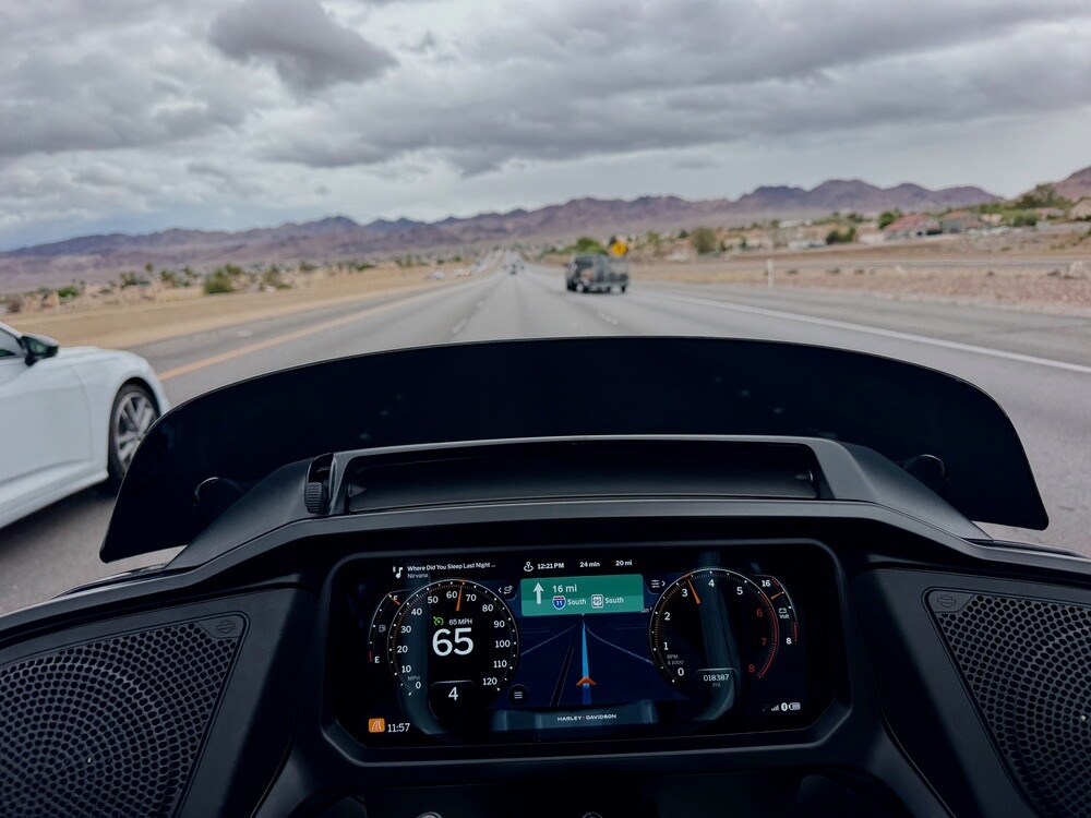
But we didn't care, because the sun was shining and it was finally warm! Happy as larks, we stripped off the extra clothes and the helmets too, stretched out on the bikes and warmed up our frozen bones. In the end we rode almost the whole of Zion without helmets. My bike has cruise control and a very decent sound system, so I filmed nearly the whole ride. The tunnel, the bends down into the canyon, the red rocks all around and music to go with it. Gorgeous.

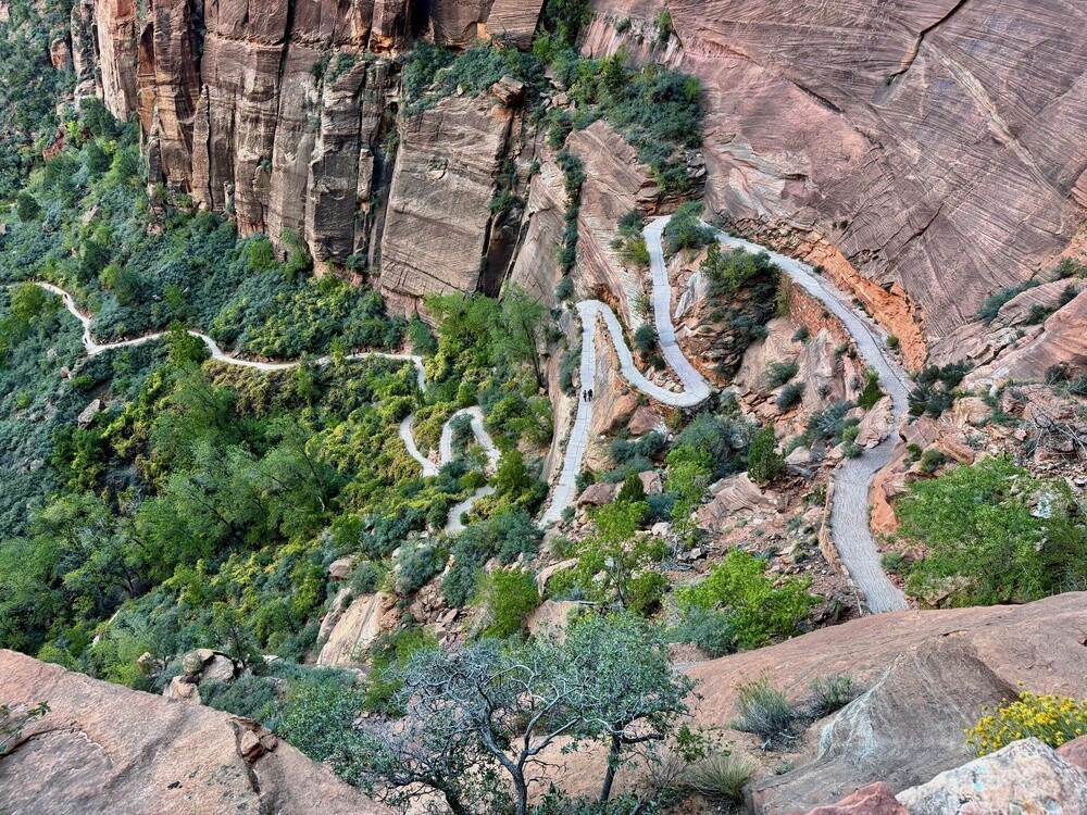
In Zion we took the shuttle all the way to The Grotto stop, where the trail to Angels Landing starts. I was last there with my sister and my dad, sometime around 2002. When I did the maths, it turned out my dad was back then almost exactly as old as I am today…

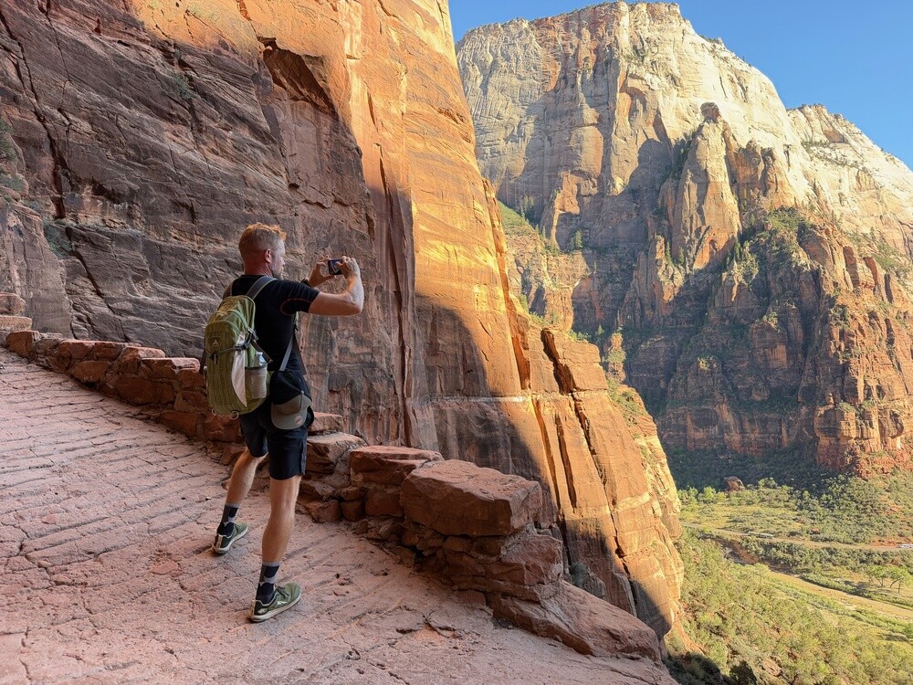
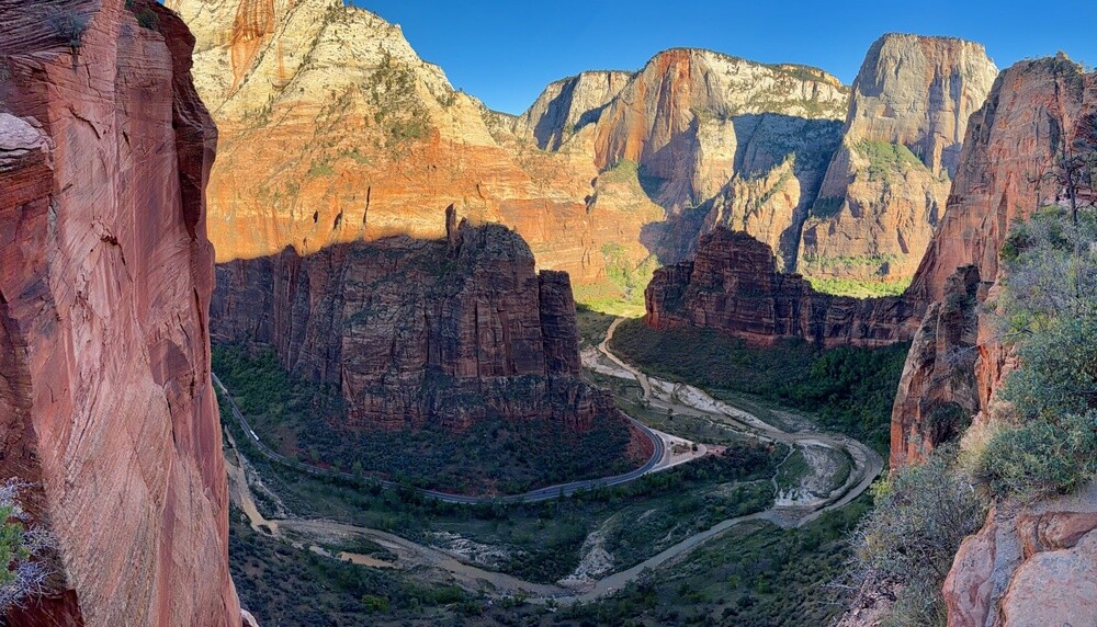
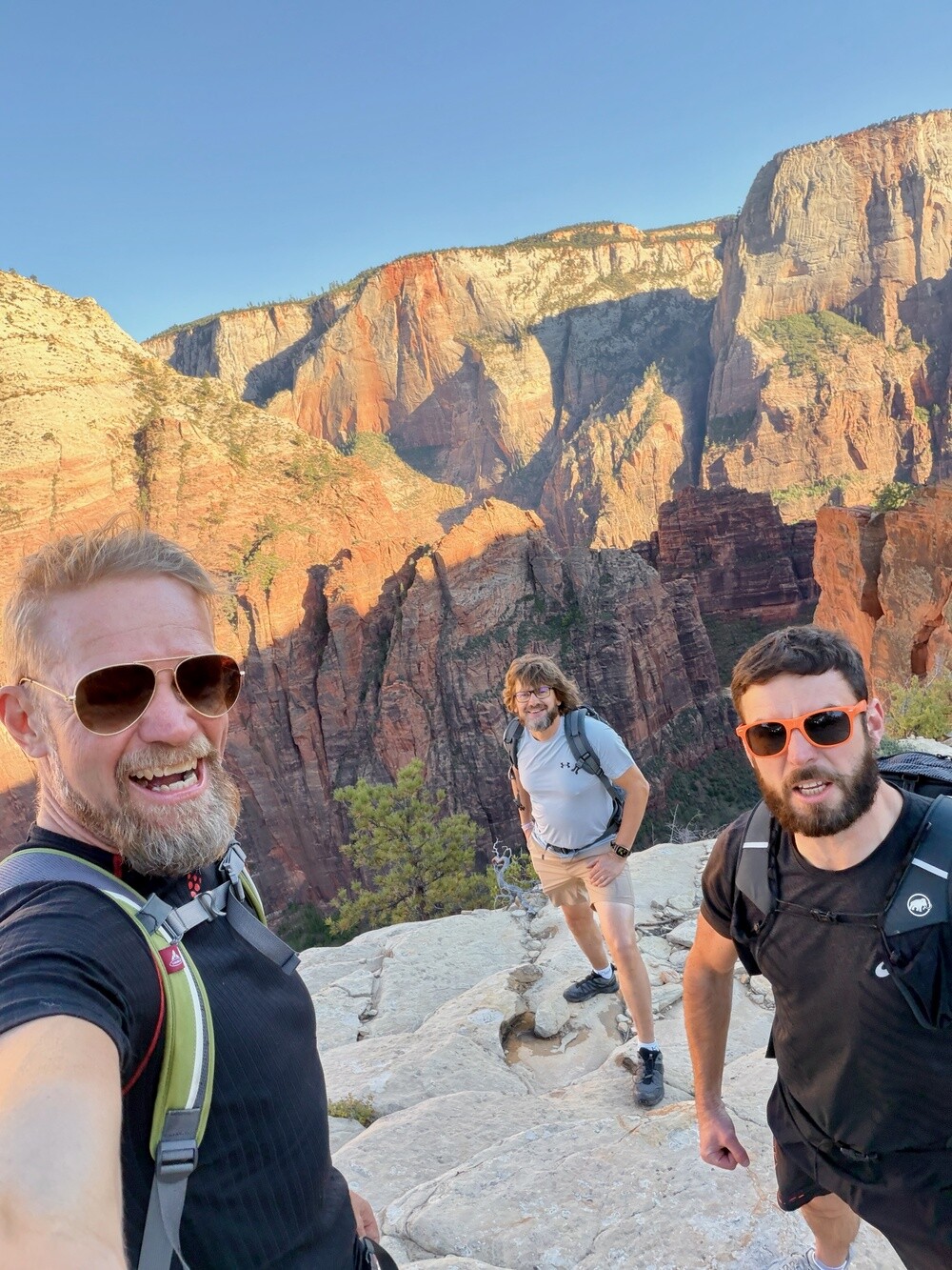
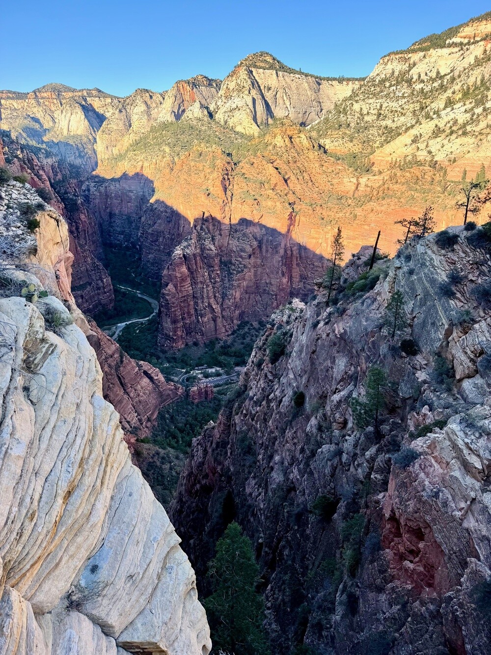
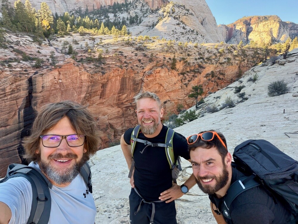
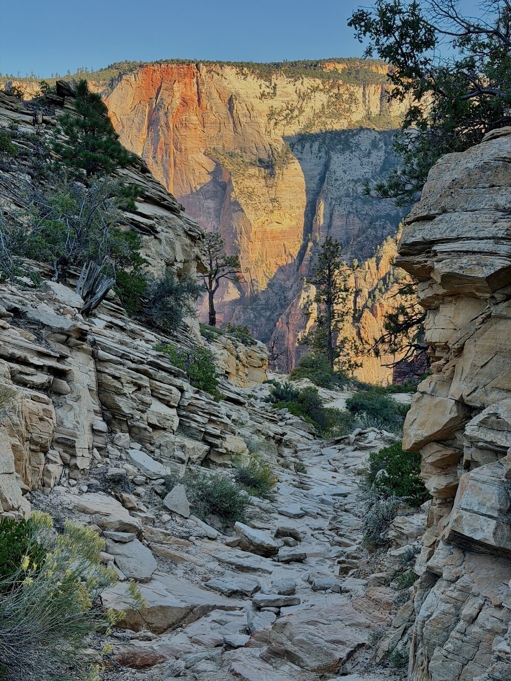
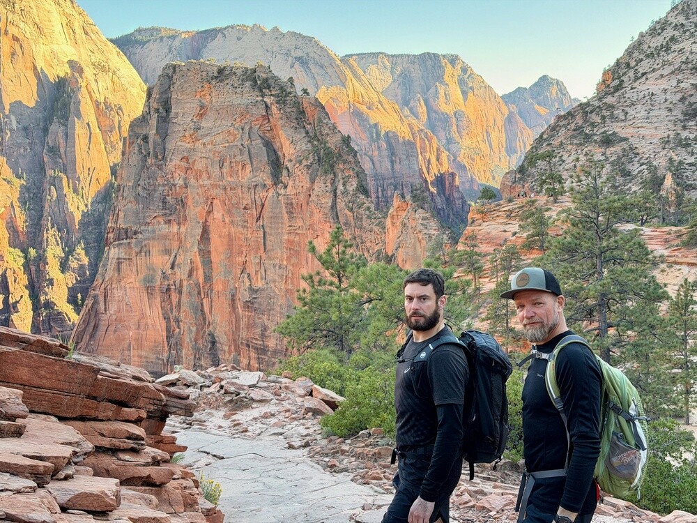
You can't just walk up to Angels Landing these days, there are so few permits that they're handed out by lottery. So instead we hiked up to the neighbouring viewpoint, Scout Lookout. A beautiful view into the valley and apart from us not a soul anywhere.

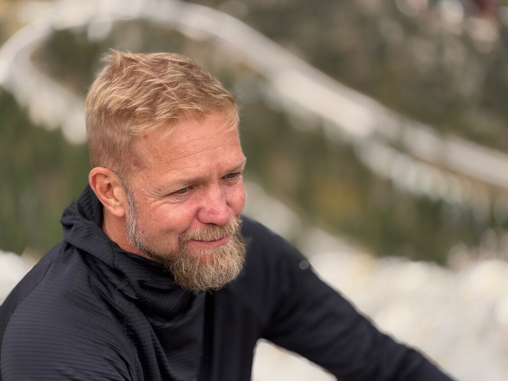
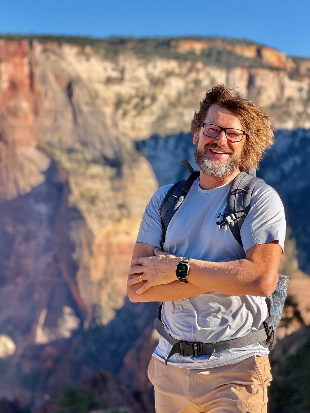
Selfies and portraits again. The whole time I keep drilling the proper photography method into the lads: composition, blurred background, shooting on zoom. We're all taking the mickey out of it by now. The lads always shout “Shoot it with the 2x, dude, or he'll send you back to shoot it again!” And I go: “You screwed it up again, dude, go on, shoot it again!” 😄

Ever since the sun came out, the good mood hasn't left us for a second. It was good before too, we just kept swearing at the weather in between.

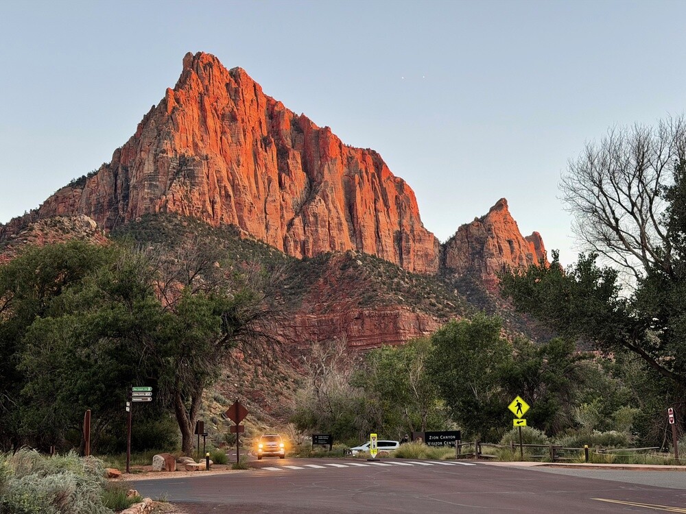
In the evening we rode through Springdale, a stretch of road straight into the setting sun, and around eight we got to the house in La Verkin.

Panguitch Lake
The lake sits at around 2,500 metres in the Dixie National Forest, southwest of Panguitch. It's known for fishing, mainly trout, and it's the fish that gave it its Paiute name, which the town took over as well.

Zion
The first national park in Utah. In 1909 it was declared Mukuntuweap National Monument, and it's been a national park under today's name since 1919. The Virgin River carved out a canyon here in Navajo sandstone with walls up to 600 metres high. From the east the Zion–Mount Carmel Highway leads into the park with a 1.8 km long tunnel, opened in 1930.
Friday 16/10/2026, Springdale, The Narrows, St. George

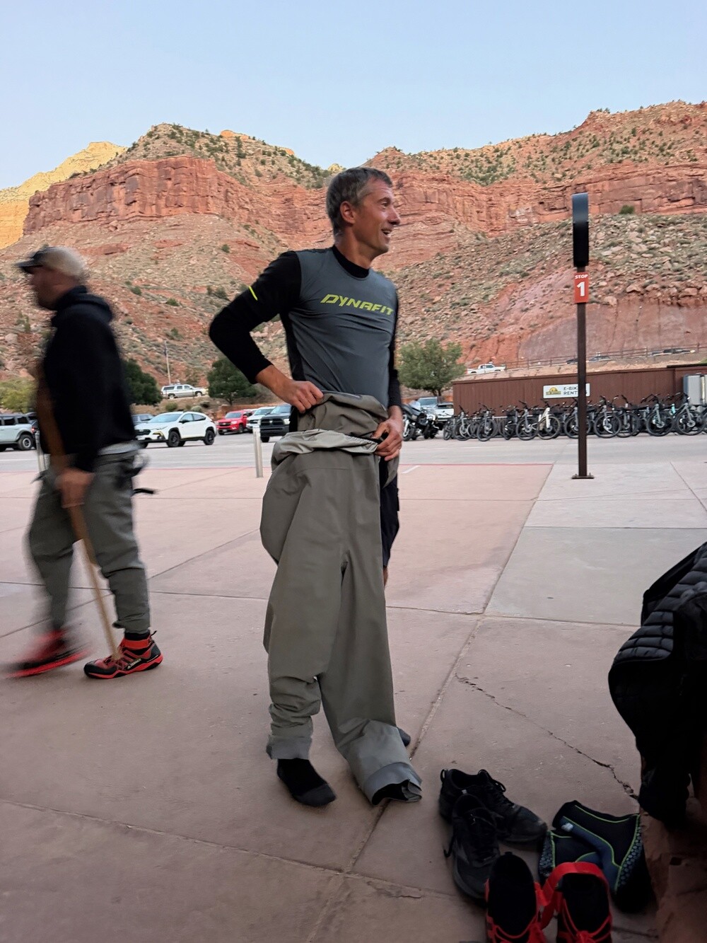
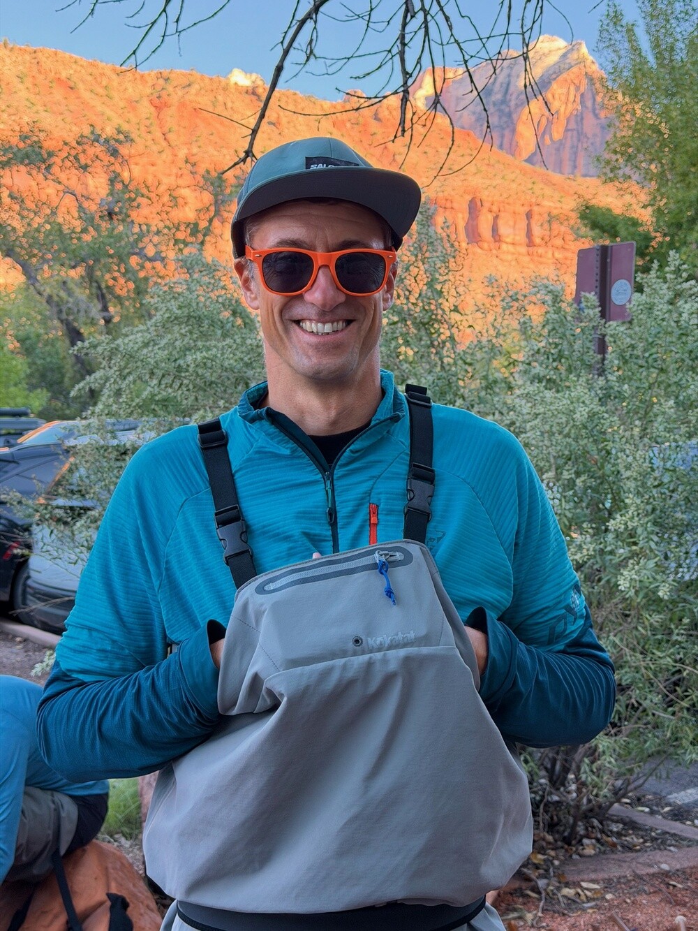
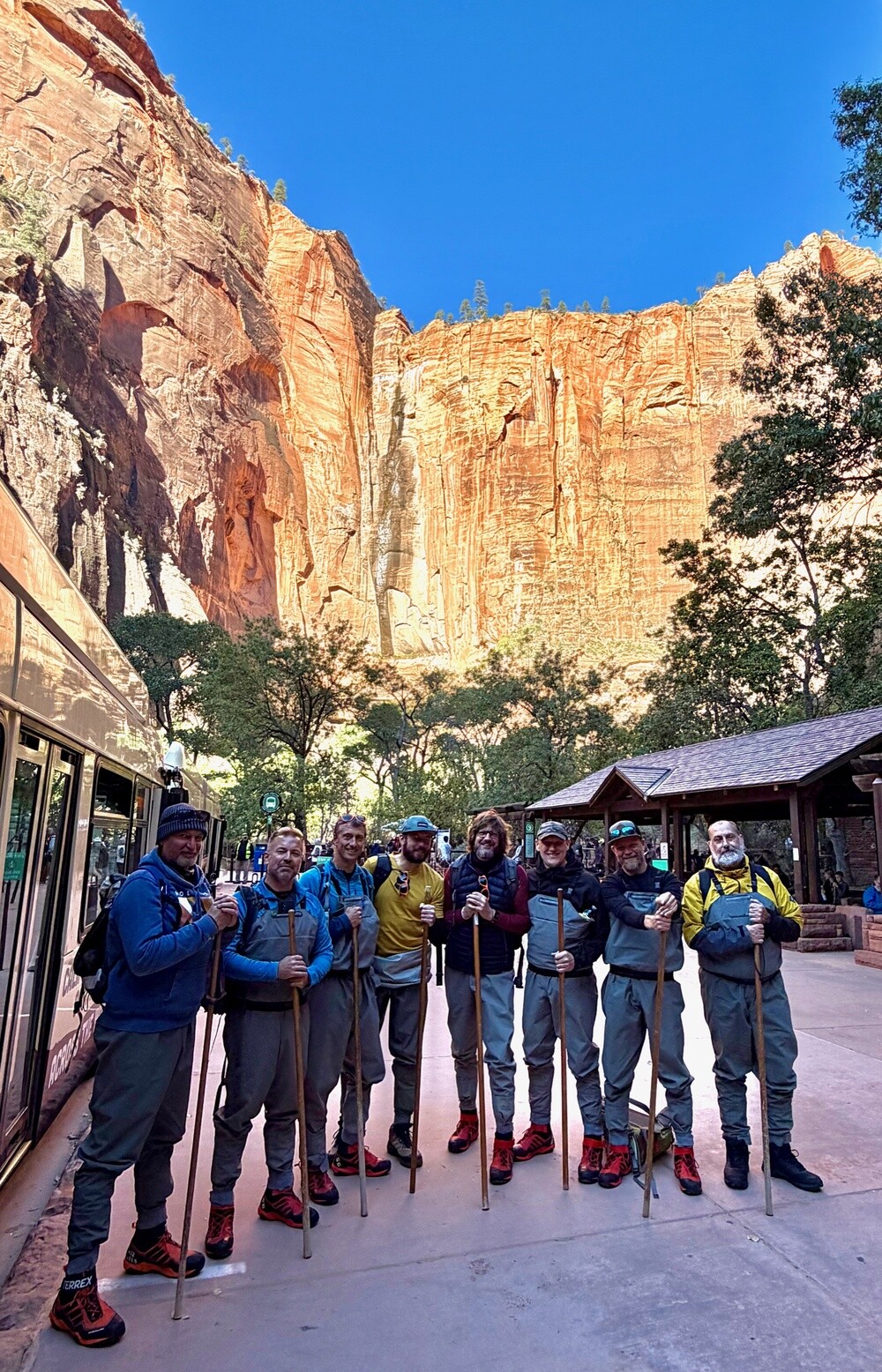
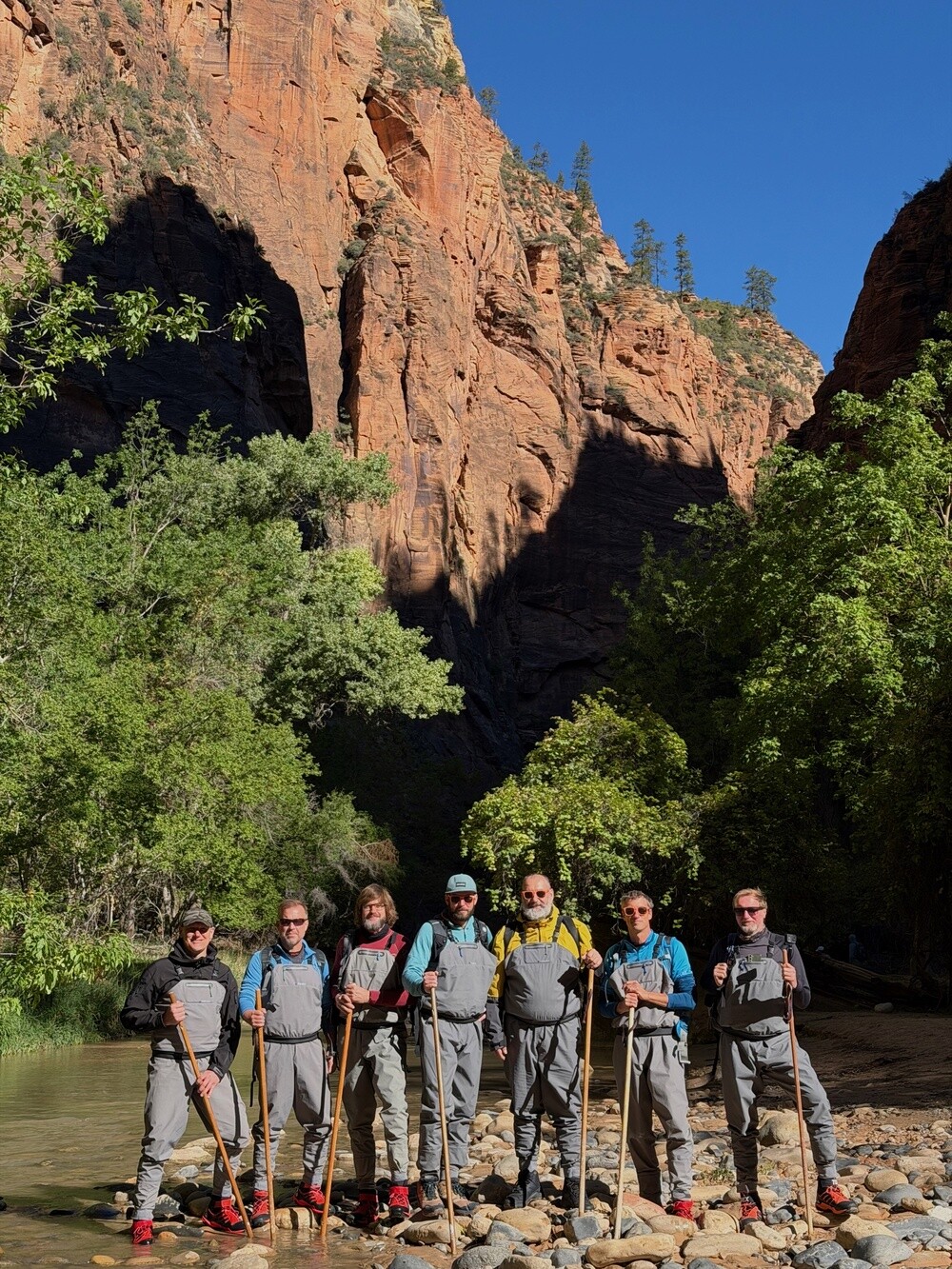
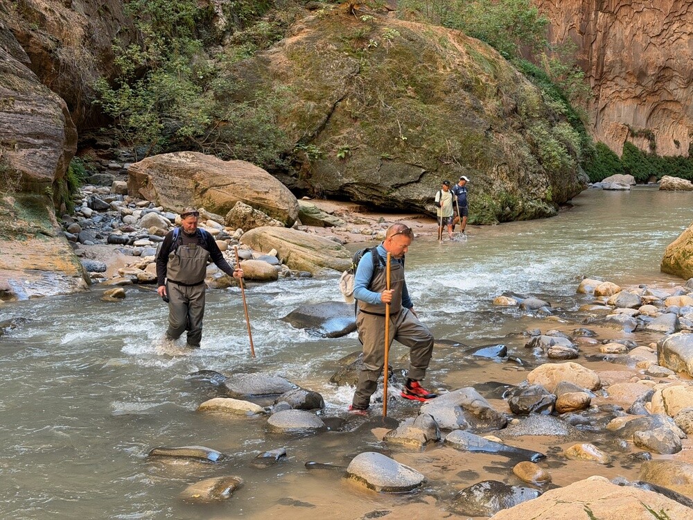
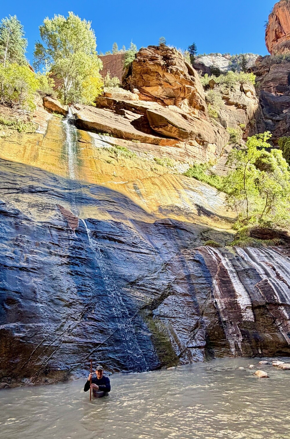
We were in quite a rush in the morning. With no breakfast we raced to the rental shop in Springdale, where we had water boots and waders booked for seven. I'd known about The Narrows trail for years, but I'd never walked it. It's only doable for a few months a year, when there isn't much water in the river.

From the rental shop quickly through the park gate. It wasn't even eight yet and there were only a few spaces left in the huge car park. Breakfast came later: eggs from our supplies and coffee that Ála and Petr carried in on foot.

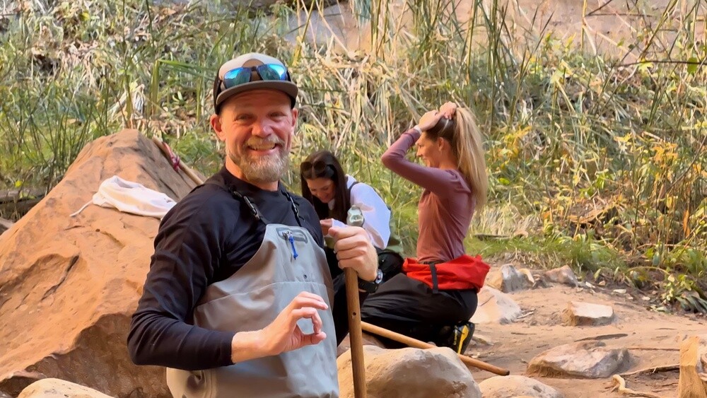
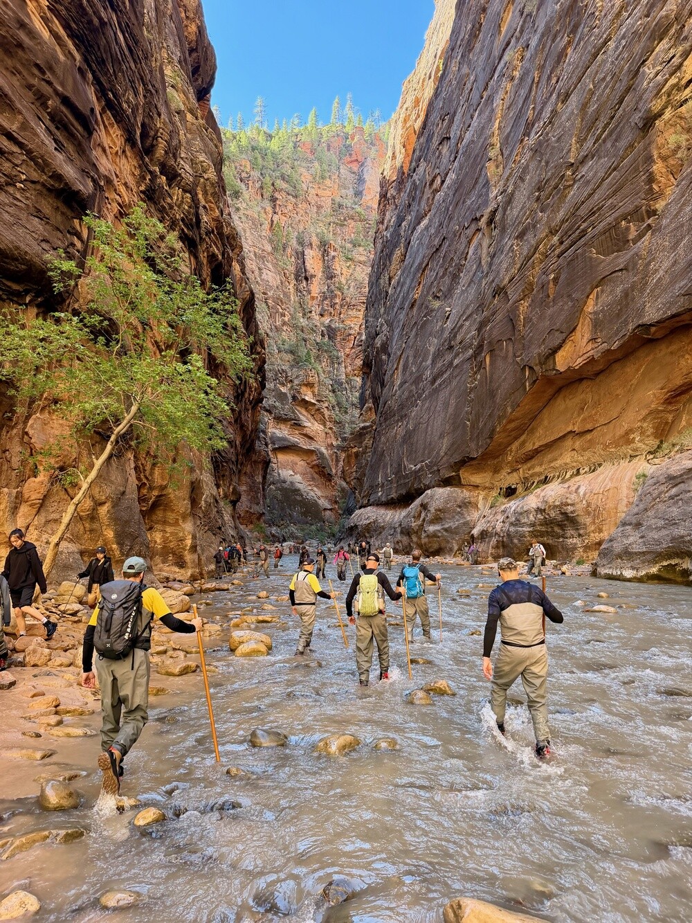
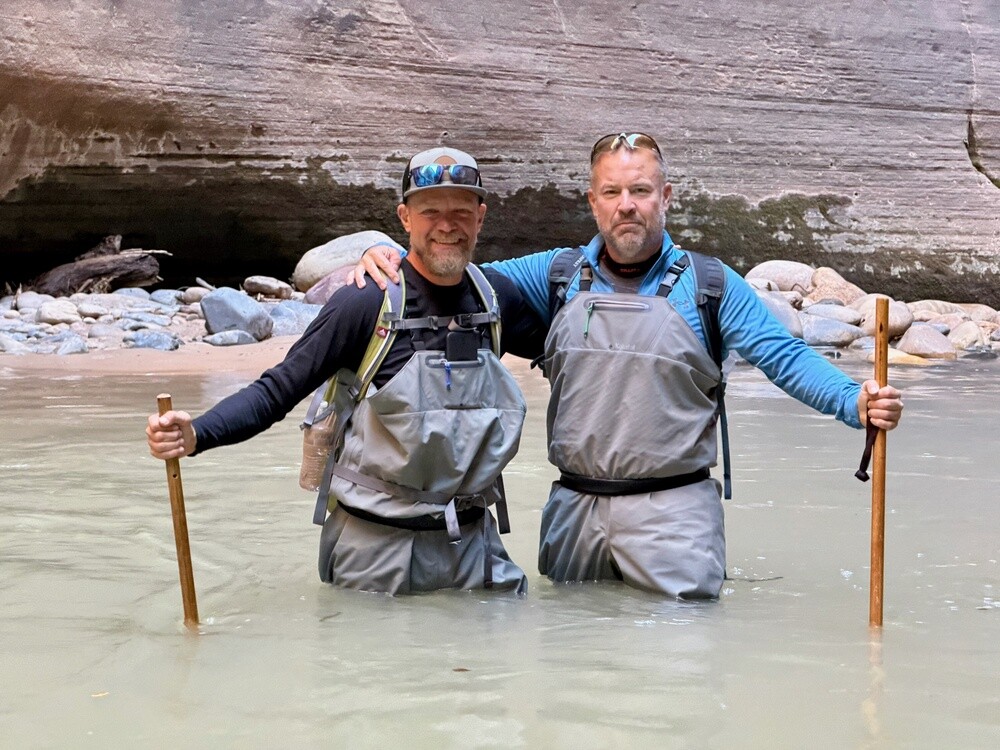
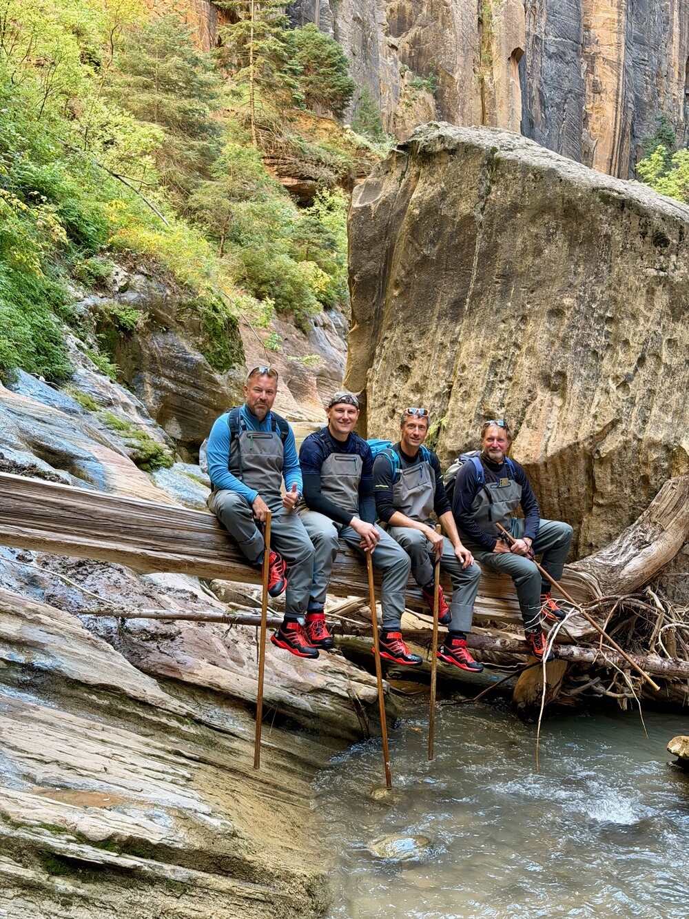
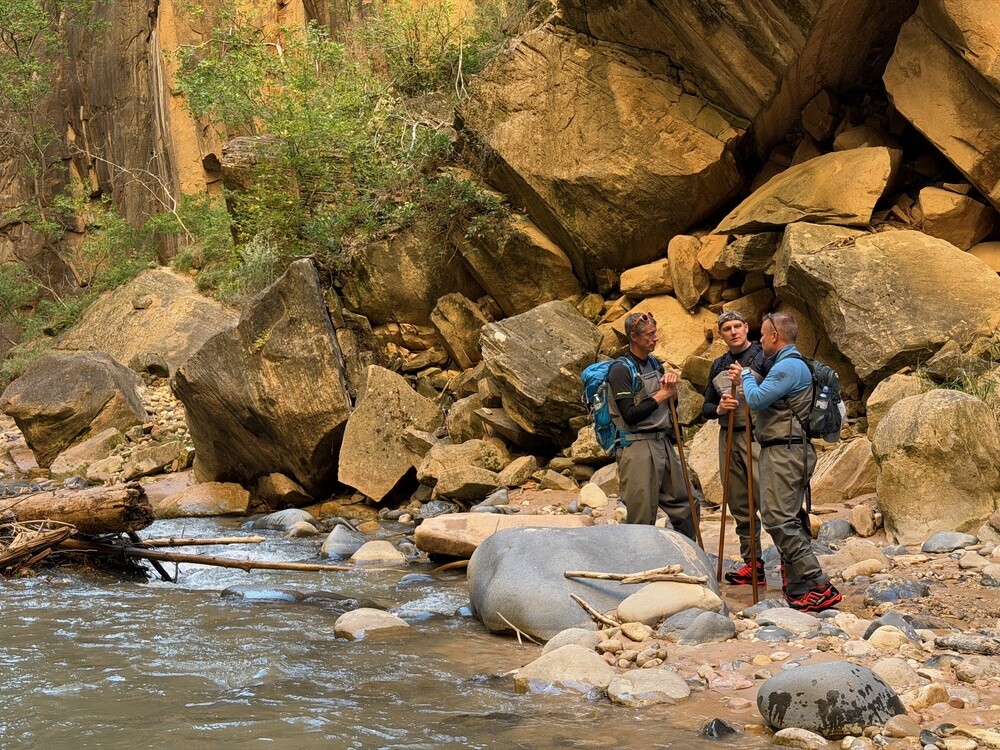
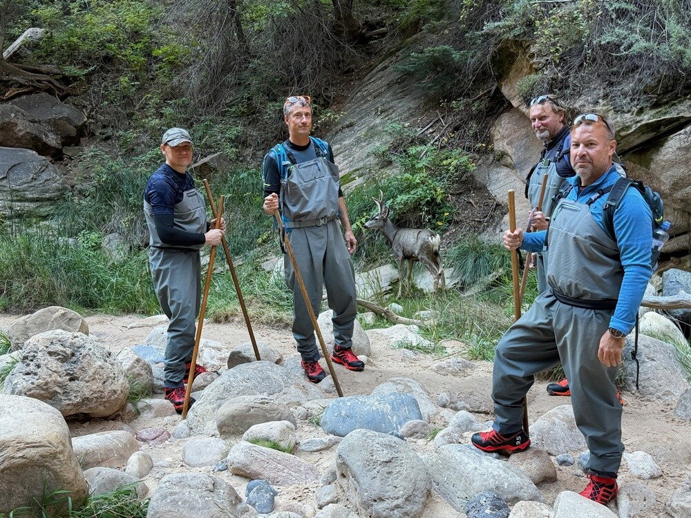
Walking in deep water over rocks is fun and the views are gorgeous, but it's surprisingly physically demanding. That silly stick in your hand was damn good for keeping your balance. The water is murky, you can't see where you're stepping, so you're on alert the whole time. A few guys turned back earlier, we made it to the spots where we were finally completely alone.

The whole trail runs 16 miles one way in the narrow river valley, almost 26 kilometres, and there's no escape from it. Wherever you get to, you have to walk back from there. Going downstream was easier. After a whole day in the water our toes looked like prunes 😄.

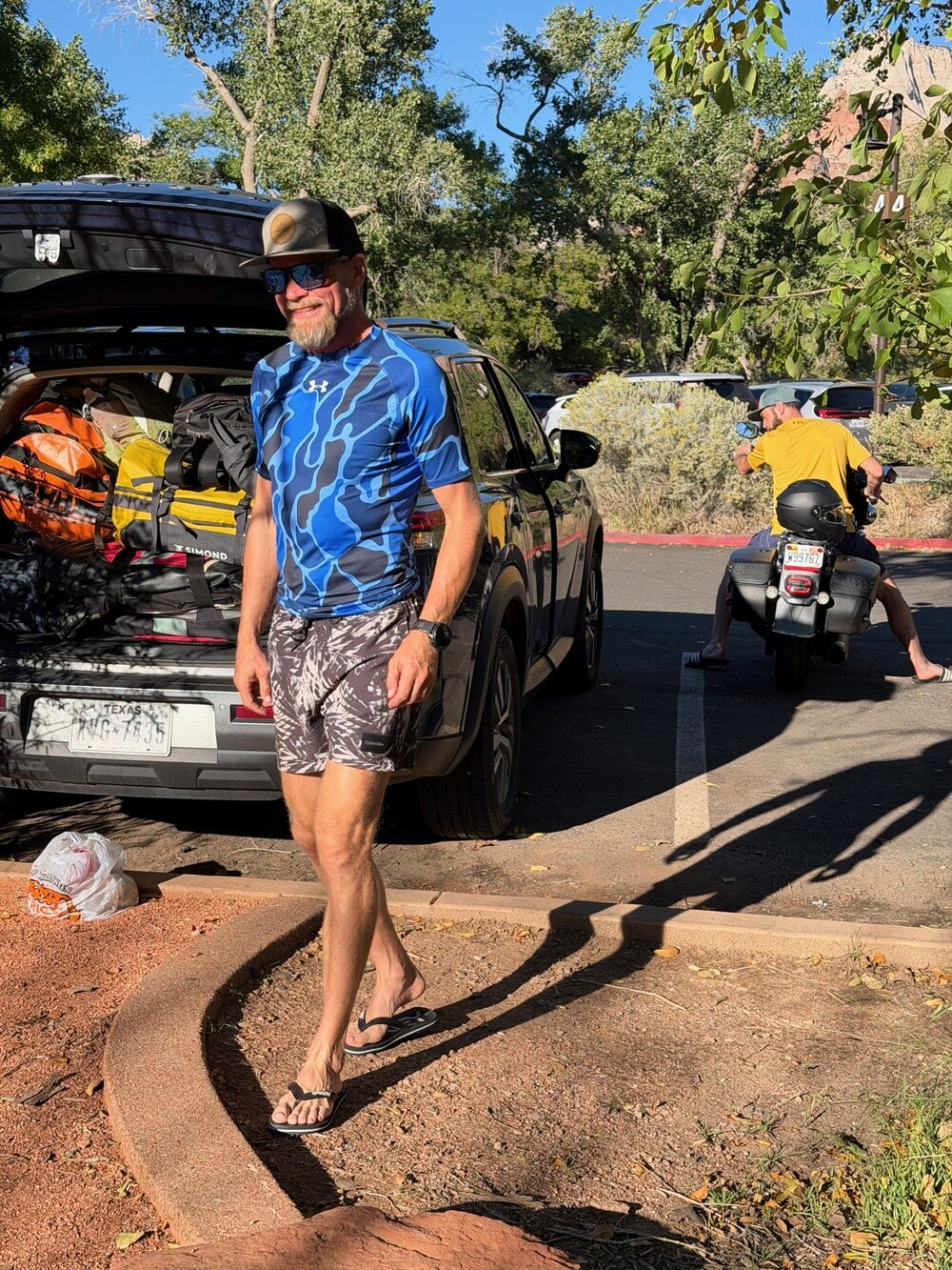
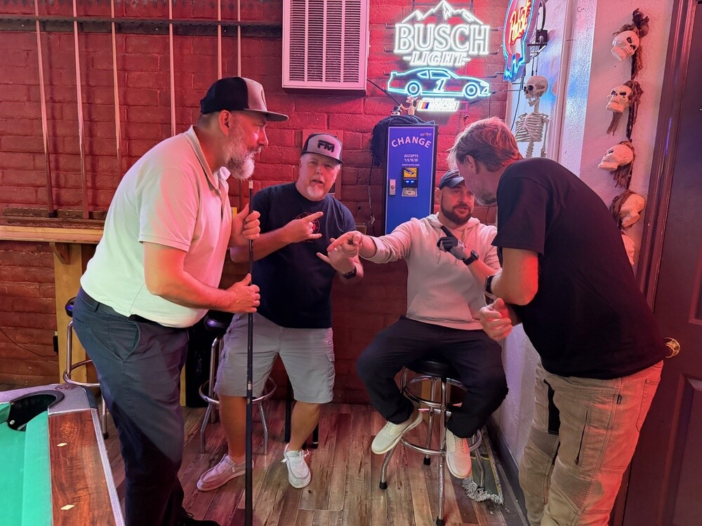
In the evening we returned the gear, got on the bikes and rode to St. George. The bar was full of locals and the whole time we had the feeling someone was going to punch us in the face. But there were a lot of us, mostly pretty tall, and we held one corner of the bar for ourselves. We played the eighties arcade game Arkanoid, and since their quarter payment wasn't working, we banged a whole fistful out of the machine. In Vegas we won nothing, but here we hit the jackpot 😄. We went to bed only after half past one.

Springdale
The little town at the southern entrance to Zion was founded by Mormon settlers in 1862 and today it has about 500 permanent residents. For most of the year a free shuttle bus connects it with the canyon, private cars aren't allowed into the main part of the canyon.

The Narrows
The narrowest part of Zion Canyon, where the walls are up to 300 metres high and in places only 6 to 9 metres apart. The route leads from the Temple of Sinawava stop along the Riverside Walk path and then straight up the bed of the Virgin River. Storms in the mountains bring the risk of flash floods, which is why the park service closes the hike when the flow is high.

St. George
The town was founded in 1861 by Brigham Young, who sent about 300 Mormon families here to grow cotton. Hence the nickname Utah's Dixie. The St. George temple was completed in 1877 and is the oldest still-used temple of the Mormon church. About 100 thousand people live here.

Saturday 17/10/2026, Valley of Fire, Lake Mead

After the night at the bar we didn't drag ourselves out of St. George until after ten. At the petrol station in Beaver Dam we practised our favourite Kozub sketch again: tough Harley riders swearing in deep voices. Right at that moment a bloke got out of his car to fill up. He heard us, saw us next to the Harleys, didn't fill up, got back in and drove off 😄

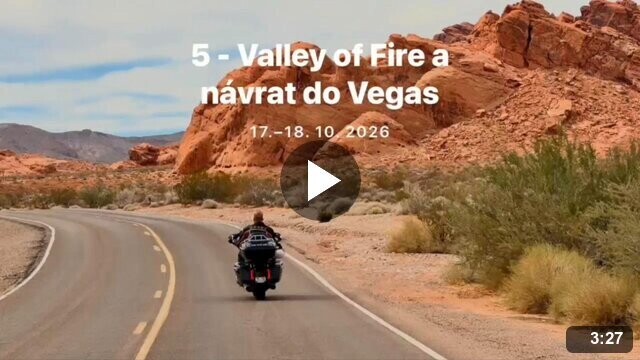
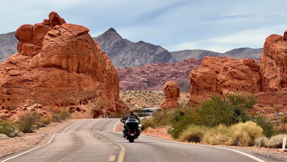
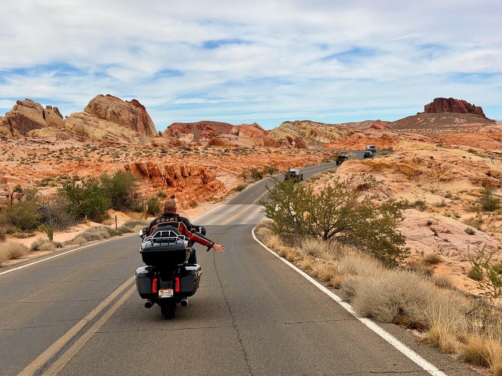
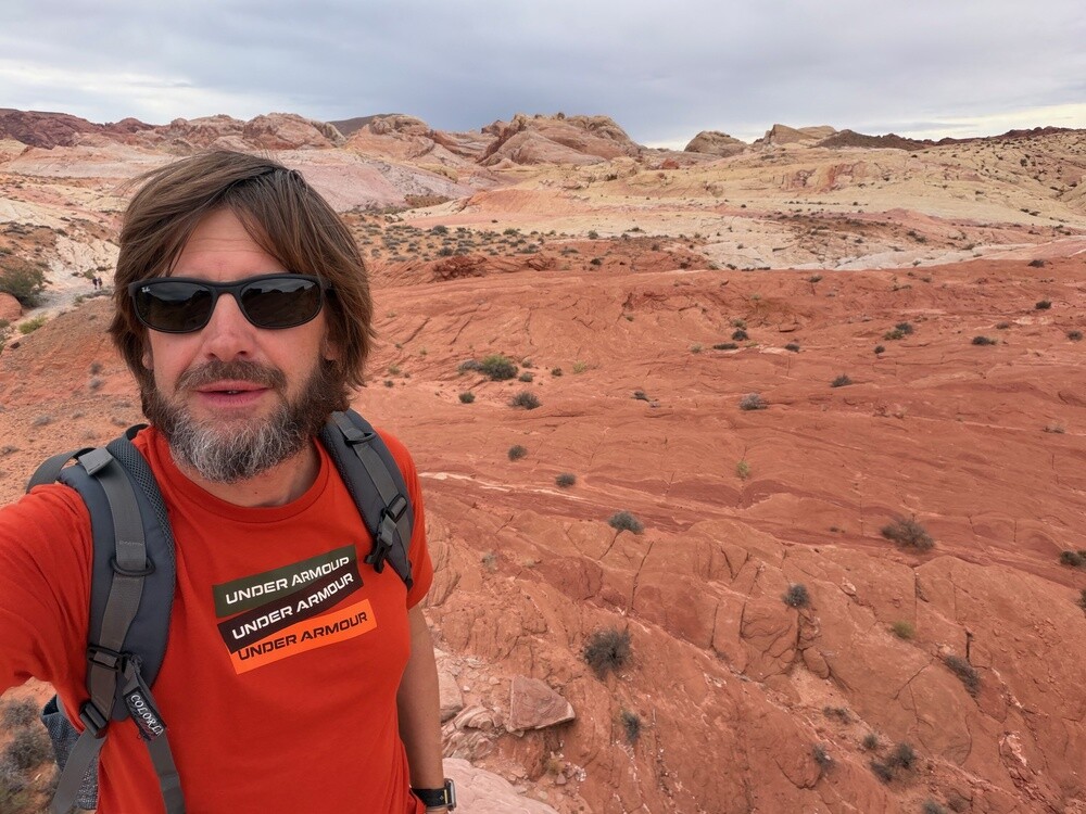
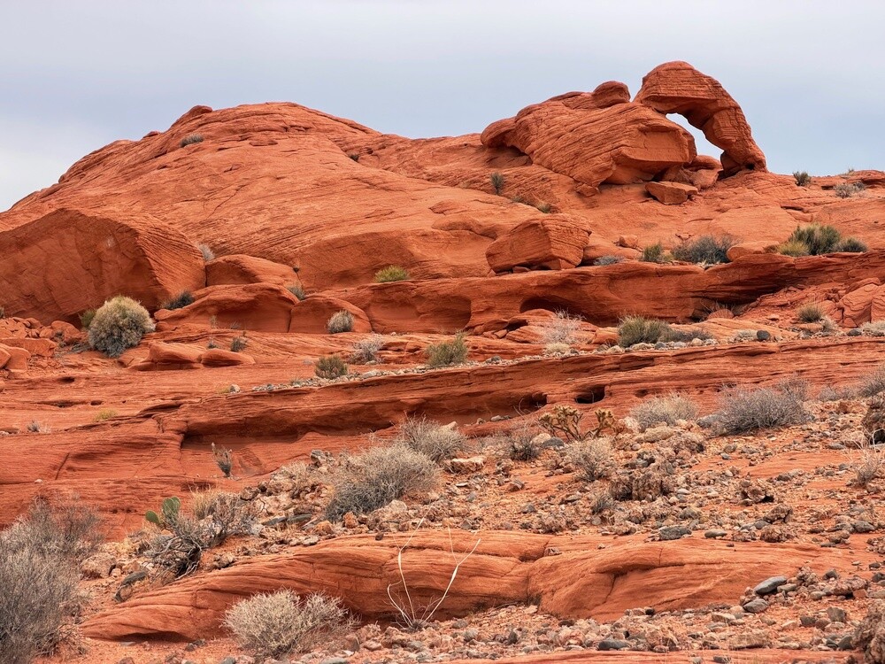
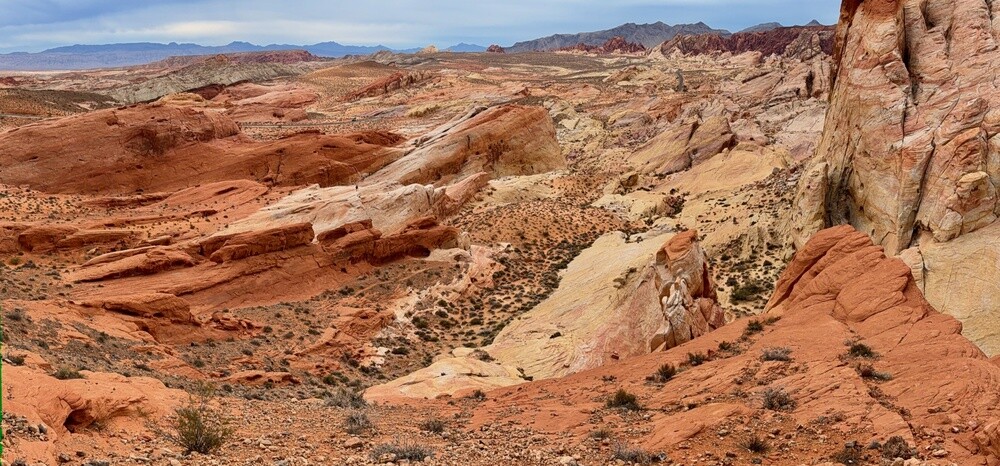
Valley of Fire is gorgeous. The road winds between red rocks and while riding I shot the best footage and photos of the whole trip. Juris rode ahead of me without a helmet again and it looked like a romantic version of Easy Rider. We then found the exact same picture in the hotel as a poster.
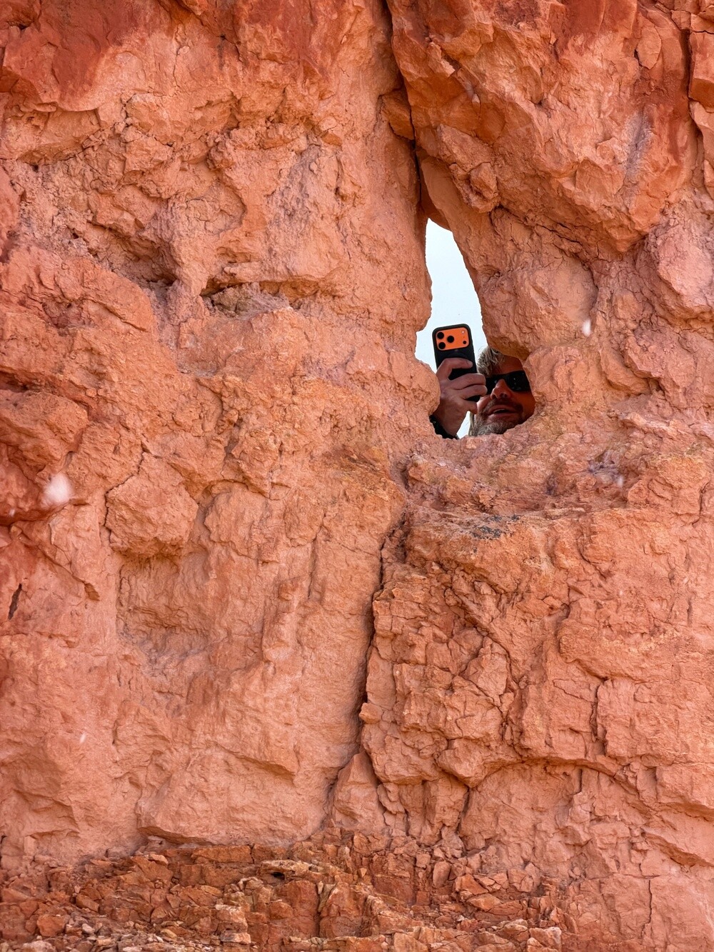
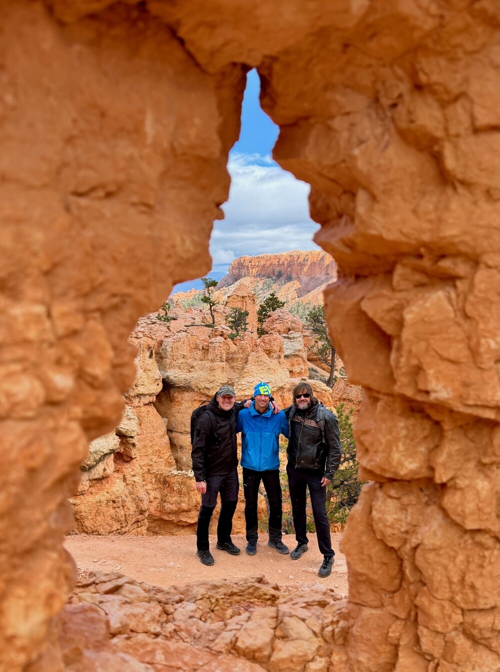
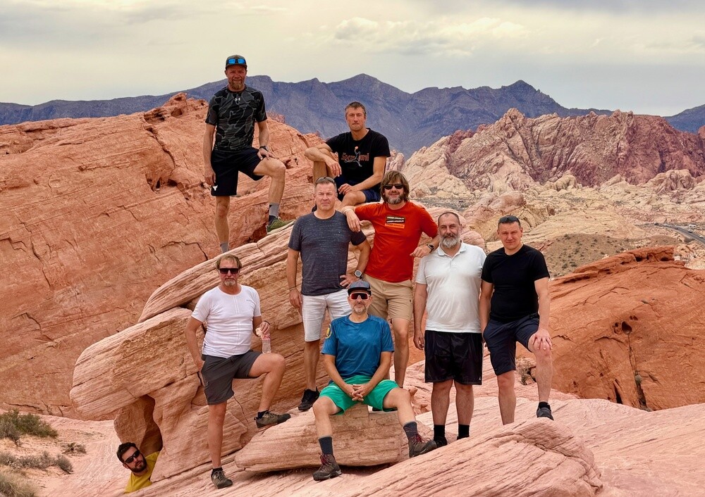
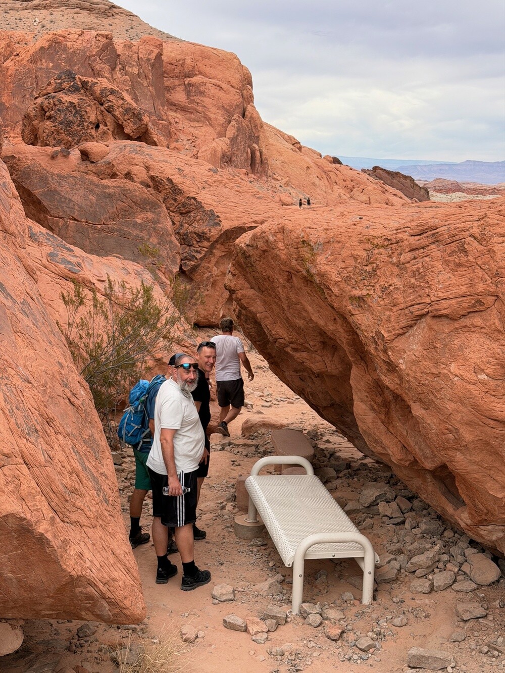
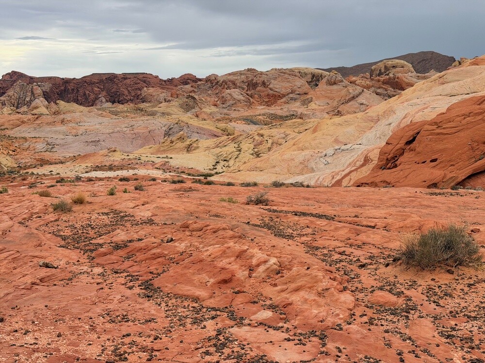
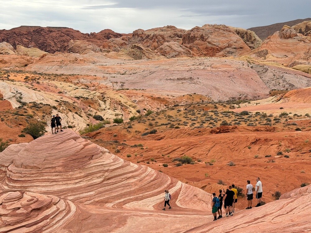
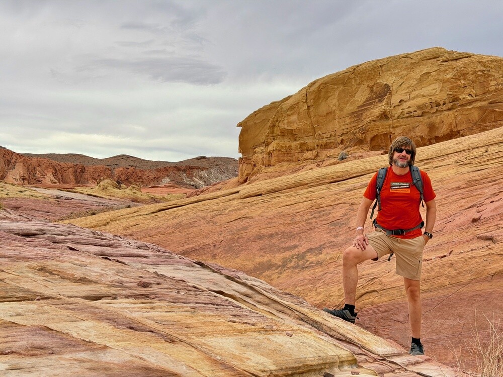
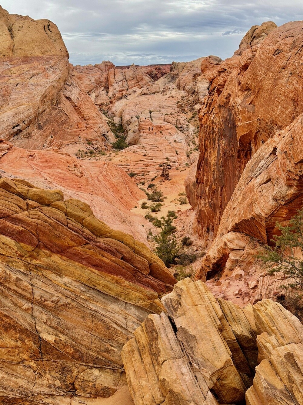
Among the rocks we did a loop around Fire Wave, the striped sandstone wave, and Pink Canyon. We climbed over the rocks and took photos in the holes and arches, finally in shorts.

We rode back to Vegas past Lake Mead. Petr planned the accommodation so that we'd be staying right next to a Texas Roadhouse steak chain, so dinner was full of luxurious steaks. We kept the bikes for Sunday as well.
Valley of Fire
Nevada's oldest and largest state park, opened in 1935, covers over 180 km². The red sandstone formed from hardened desert dunes from the time of the dinosaurs and it got its name from the way the rocks glow in the sun. There are petroglyphs on the rocks estimated to be up to 2,000 years old.

Lake Mead
The lake was created after the completion of the Hoover Dam and is named after Elwood Mead, head of the Bureau of Reclamation. In 1964 the area around it became the first national recreation area in the USA. Because of drought the water level has dropped by tens of metres since 2000, and in 2022 it was the lowest since the lake was filled.

Sunday 18/10/2026, A day pi**ed away at the outlet and Walmart

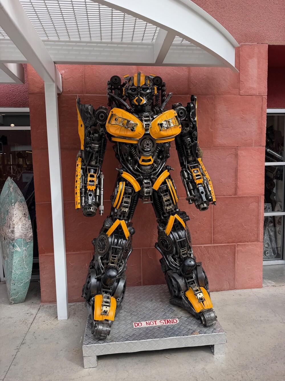
The last day. We weren't returning the bikes until the afternoon, so in the morning we rode the Harleys to the Las Vegas North Premium Outlets. In the first shop, full of sculptures welded from scrap steel, stood a giant yellow and black robot and an old motorbike on display on a table, but otherwise the classic: shop after shop and bags that won't fit on a bike.

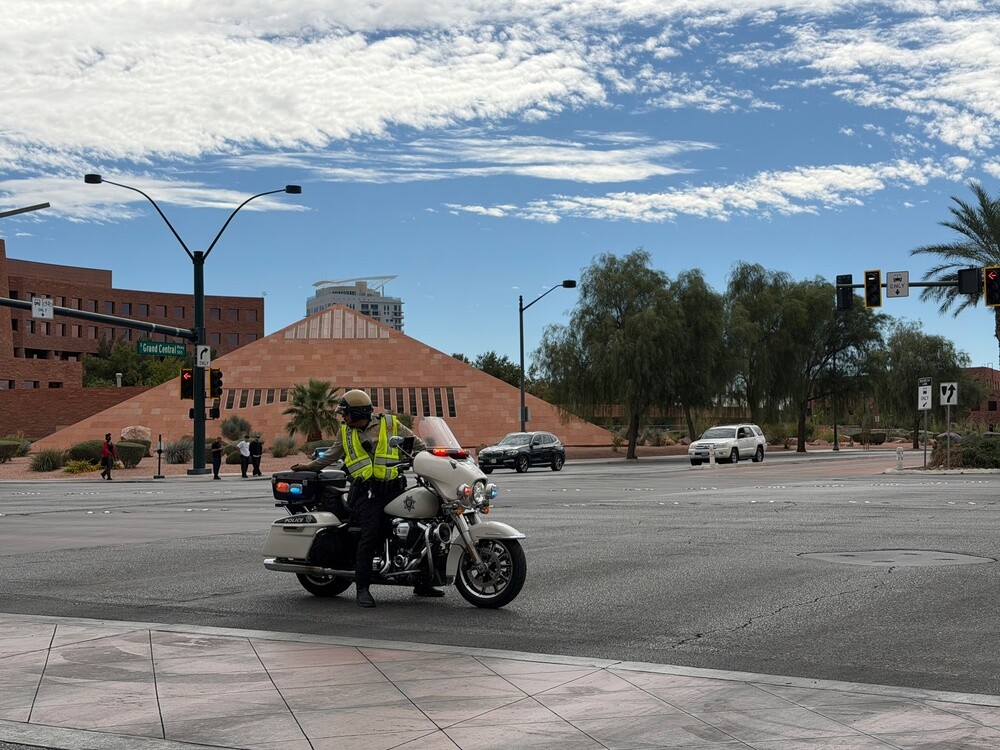
Then Walmart too, because whoever was in America and wasn't at Walmart might as well not have been there 😄. On the way back the police stopped us. They'd closed the whole boulevard because of three mysterious buses leaving. Who was riding in them we never found out.

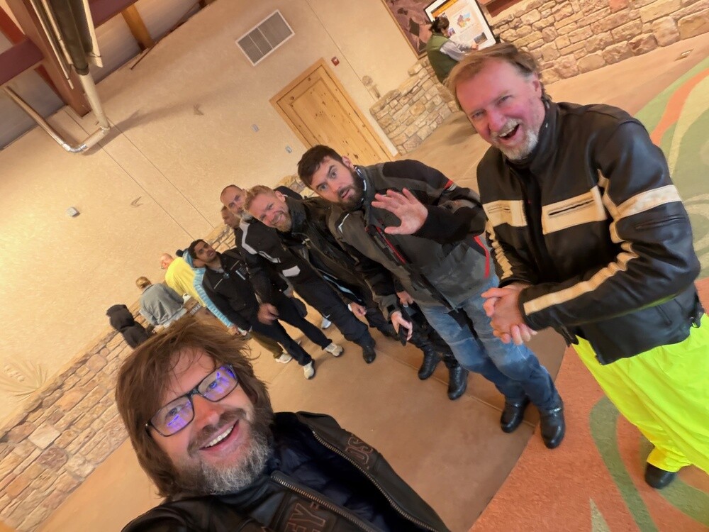
Around four we returned the bikes to EagleRider. Those 415 kilos, which we were in awe of on the first day, we were handling like our own after a week. At the airport one more group photo in orange sunglasses and the lads flew off to Europe. My flight was in the evening and Vegas lit up below me from the plane for the last time.